Nature
Waters, ice and wild places of Liberia
Lakes, waterfalls, glaciers, national parks and mountain huts, each with its location, its size and the weather of the towns around it.
Lakes1with a page
Waterfalls1with a page
National parks1with a page
Beaches3with a page

Photo: Bethel. Anthony Chisom · CC BY-SA 4.0 · Wikimedia CommonsReport this photo · linked, not stored
Lakes
Lakes of Liberia
Photo: Bethel. Anthony Chisom · CC BY-SA 4.0 · Wikimedia CommonsReport this photo · linked, not stored
Lake Piso
Robertsport, Grand Cape Mount County
110 km²
Waterfalls
Waterfalls of Liberia

Photo: Bethel. Anthony Chisom · CC BY-SA 4.0 · Wikimedia CommonsReport this photo · linked, not stored
Kpatawee Waterfall
Gbarnga, Bong County
National parks
National parks of Liberia

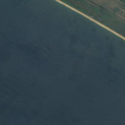
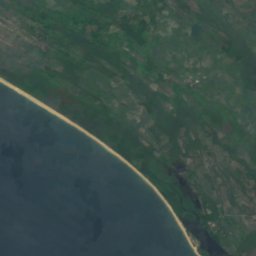


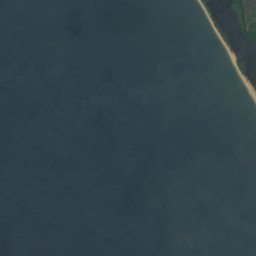
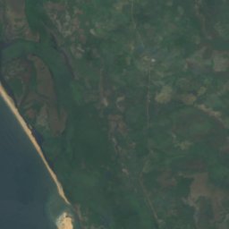
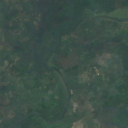



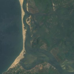
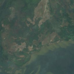
Satellite: Sentinel-2 cloudless 2016 by EOX IT Services GmbH · CC BY 4.0 · Contains modified Copernicus Sentinel data 2016
Cape Mount Nature Conservation Unit
Robertsport, Grand Cape Mount County
Beaches
Beaches of Liberia


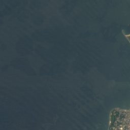
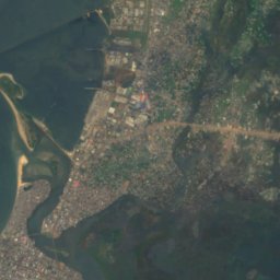
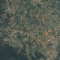
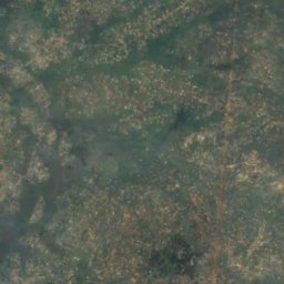

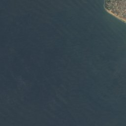
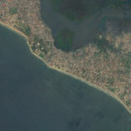
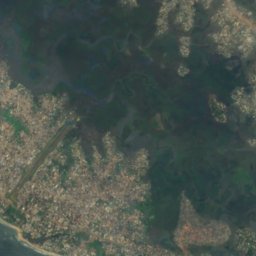
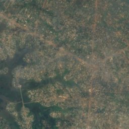



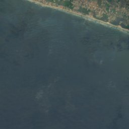
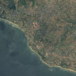
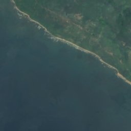
Satellite: Sentinel-2 cloudless 2016 by EOX IT Services GmbH · CC BY 4.0 · Contains modified Copernicus Sentinel data 2016
Bernard Beach
Monrovia, Montserrado County
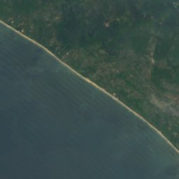
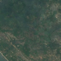
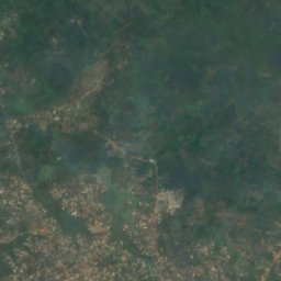


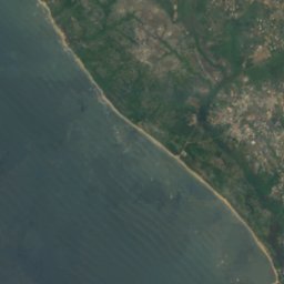
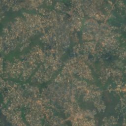
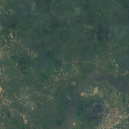


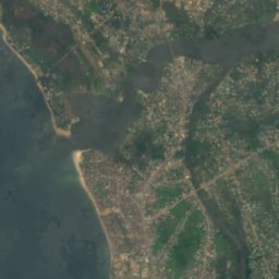
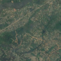
Satellite: Sentinel-2 cloudless 2016 by EOX IT Services GmbH · CC BY 4.0 · Contains modified Copernicus Sentinel data 2016
Homco Beach
Monrovia, Montserrado County
Islands
Islands of Liberia


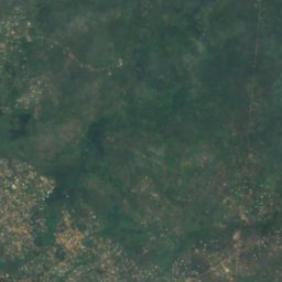
Satellite: Sentinel-2 cloudless 2016 by EOX IT Services GmbH · CC BY 4.0 · Contains modified Copernicus Sentinel data 2016
Bali Island
Monrovia, Montserrado County
1 m
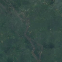
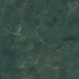
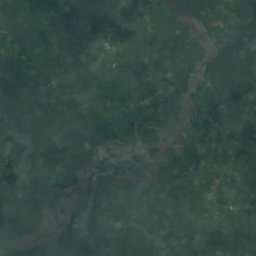
Satellite: Sentinel-2 cloudless 2016 by EOX IT Services GmbH · CC BY 4.0 · Contains modified Copernicus Sentinel data 2016
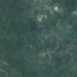
Demba Island
Bensonville, Montserrado County
Satellite: Sentinel-2 cloudless 2016 by EOX IT Services GmbH · CC BY 4.0 · Contains modified Copernicus Sentinel data 2016
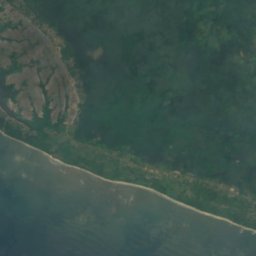
Dobli Island
Bopolu, Gbarpolu County
Satellite: Sentinel-2 cloudless 2016 by EOX IT Services GmbH · CC BY 4.0 · Contains modified Copernicus Sentinel data 2016
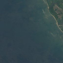
Federicks Island
Monrovia, Montserrado County
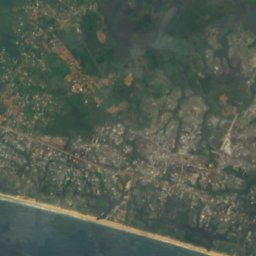
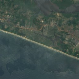
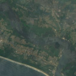



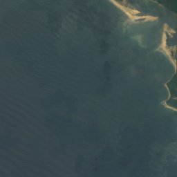
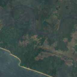
Satellite: Sentinel-2 cloudless 2016 by EOX IT Services GmbH · CC BY 4.0 · Contains modified Copernicus Sentinel data 2016
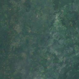
Hooper Patch
Harbel, Margibi County







Rivers
Rivers of Liberia

Satellite: Sentinel-2 cloudless 2016 by EOX IT Services GmbH · CC BY 4.0 · Contains modified Copernicus Sentinel data 2016
Saint Paul River
Monrovia, Montserrado County


Satellite: Sentinel-2 cloudless 2016 by EOX IT Services GmbH · CC BY 4.0 · Contains modified Copernicus Sentinel data 2016
Farmington River
Harbel, Margibi County