자연
라이베리아의 물가, 빙하, 야생
호수, 폭포, 빙하, 국립공원, 산장. 각각의 위치, 규모, 주변 날씨를 소개합니다.
호수1곳(개별 페이지 있음)
폭포1곳(개별 페이지 있음)
국립공원1곳(개별 페이지 있음)
해변3곳(개별 페이지 있음)

호수
라이베리아의 호수
폭포
라이베리아의 폭포

국립공원
라이베리아의 국립공원



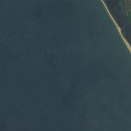
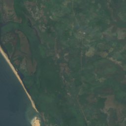
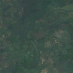



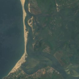
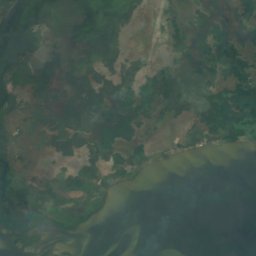
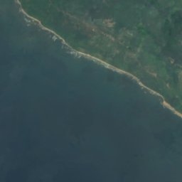
위성: Sentinel-2 cloudless 2016(EOX IT Services GmbH) · CC BY 4.0 · 수정된 Copernicus Sentinel 데이터(2016) 포함
Cape Mount Nature Conservation Unit
Robertsport, Grand Cape Mount County
해변
라이베리아의 해변


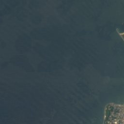
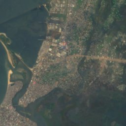
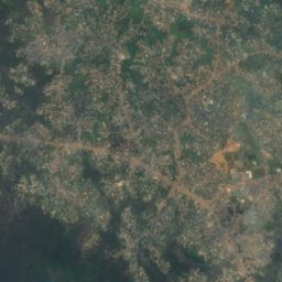
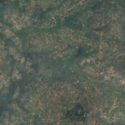

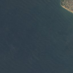
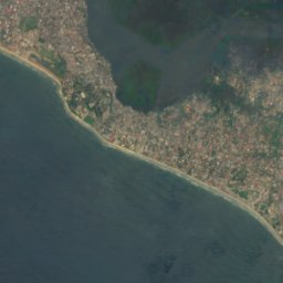
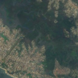
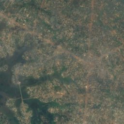



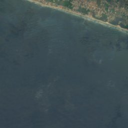
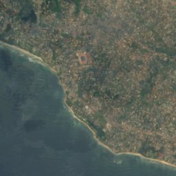
위성: Sentinel-2 cloudless 2016(EOX IT Services GmbH) · CC BY 4.0 · 수정된 Copernicus Sentinel 데이터(2016) 포함
Bernard Beach
Monrovia, Montserrado County
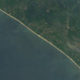
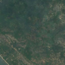
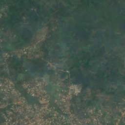


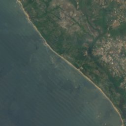
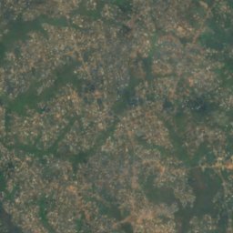
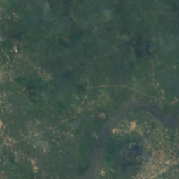


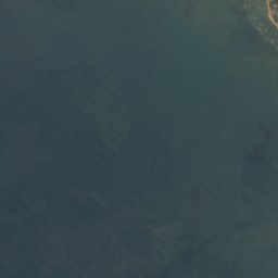
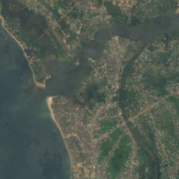
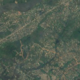
위성: Sentinel-2 cloudless 2016(EOX IT Services GmbH) · CC BY 4.0 · 수정된 Copernicus Sentinel 데이터(2016) 포함
Homco Beach
Monrovia, Montserrado County
섬
라이베리아의 섬


위성: Sentinel-2 cloudless 2016(EOX IT Services GmbH) · CC BY 4.0 · 수정된 Copernicus Sentinel 데이터(2016) 포함
Bali Island
Monrovia, Montserrado County
1 m
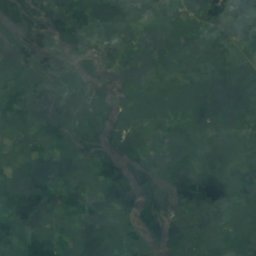
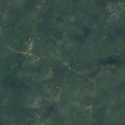
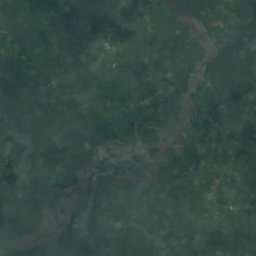
위성: Sentinel-2 cloudless 2016(EOX IT Services GmbH) · CC BY 4.0 · 수정된 Copernicus Sentinel 데이터(2016) 포함
Demba Island
Bensonville, Montserrado County
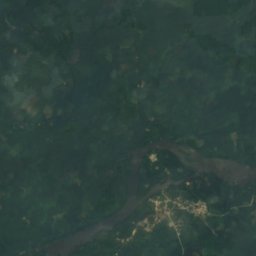
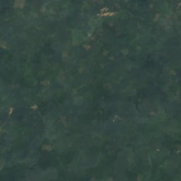
위성: Sentinel-2 cloudless 2016(EOX IT Services GmbH) · CC BY 4.0 · 수정된 Copernicus Sentinel 데이터(2016) 포함
Dobli Island
Bopolu, Gbarpolu County
위성: Sentinel-2 cloudless 2016(EOX IT Services GmbH) · CC BY 4.0 · 수정된 Copernicus Sentinel 데이터(2016) 포함
Federicks Island
Monrovia, Montserrado County
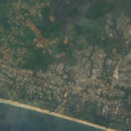
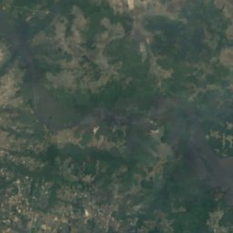
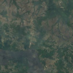
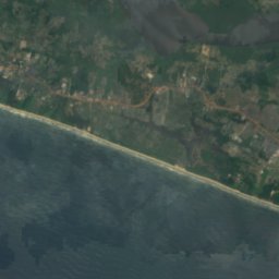
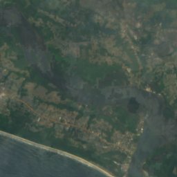



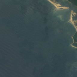
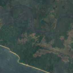
위성: Sentinel-2 cloudless 2016(EOX IT Services GmbH) · CC BY 4.0 · 수정된 Copernicus Sentinel 데이터(2016) 포함
Hooper Patch
Harbel, Margibi County

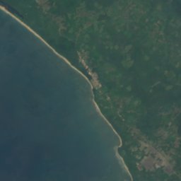






강
라이베리아의 강

위성: Sentinel-2 cloudless 2016(EOX IT Services GmbH) · CC BY 4.0 · 수정된 Copernicus Sentinel 데이터(2016) 포함
Saint Paul River
Monrovia, Montserrado County


위성: Sentinel-2 cloudless 2016(EOX IT Services GmbH) · CC BY 4.0 · 수정된 Copernicus Sentinel 데이터(2016) 포함
Farmington River
Harbel, Margibi County