
Photo: Lombroso · Public domain · Wikimedia Commons
Kanda RiverReport this photo · linked, not stored
Kanda RiverReport this photo · linked, not stored

Photo: Fg2 · Public domain · Wikimedia Commons
Nihonbashi RiverReport this photo · linked, not stored
Nihonbashi RiverNihonbashi RiverReport this photo · linked, not stored

Photo: Guerinf · CC BY-SA 4.0 · Wikimedia Commons
Benten Island, TokyoReport this photo · linked, not stored
Benten Island, TokyoBenten Island, TokyoReport this photo · linked, not stored

Photo: Utagawa Hiroshige · CC0 · Wikimedia Commons
Tsukuda IslandReport this photo · linked, not stored
Tsukuda IslandTsukuda IslandReport this photo · linked, not stored

Photo: Akitsumaru · CC BY-SA 4.0 · Wikimedia Commons
Etchūjima RiverReport this photo · linked, not stored
Etchūjima RiverEtchūjima RiverReport this photo · linked, not stored
RiverRyōgoku, Tokyo
Kanda River
RiverBest Apr · Oct–Nov
Elevation–above sea level
Length25 kmsource to mouth
Nearest townRyōgoku0.3 km
35.69° N, 139.79° EUTC+9 · Japan Standard Time
When to goRyōgoku · weather score
Best timeApr · Oct–Nov
October: high / low21° / 15°
River
Kanda River in brief
Kanda River is a river in Ryōgoku, Tokyo, Japan.
The nearest town in the atlas is Ryōgoku, 0.3 km to the SW, where the weather is best in April, October and November.
Kanda River is 25 km long.
Weather nearby now
Forecast for Ryōgoku16°
Partly cloudy now
Today
22 Oct
25°
18°
Fri
23 Oct
22°
14°
Sat
24 Oct
19°
16°
9 mm
Sun
25 Oct
20°
18°
2 mm
Mon
26 Oct
19°
18°
20 mm
Model run 00:00 UTCRefreshed several times a day
The course of the river
As mapped in OpenStreetMap, with the towns of the atlas along its banks.- 1Musashino62 m
- 2Sekimachi-minami56 m
- 3Asagaya-minami48 m
- 4Nakano41 m
- 5Hatsudai42 m
- 6Tokyo44 m
- 7Numabukuro42 m
- 8Shimo’ochiai37 m
- 9Mejiro39 m
- 10Waseda-tsurumakichō17 m
- 11Ichigaya-honmurachō32 m
- 12Kanda-jinbōchō18 m
- 13Kanda-Surugadai33 m
- 14Ryōgoku13 m
sourcemouth (or where the mapped line leaves the country)
When to go
Climate of RyōgokuThe best months around Kanda River
Month score in Ryōgoku
Comfort, dry days and sunshine · out of 10046
Jan
41
Feb
39
Mar
63
Apr
63
May
54
Jun
46
Jul
45
Aug
56
Sep
64
Oct
64
Nov
47
Dec
Map
Kanda River from above
Nature nearbyAll of Japan


Summits nearbyMountains of Japan

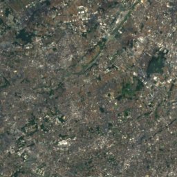
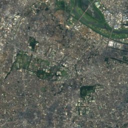
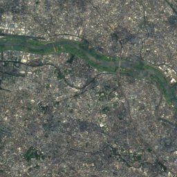
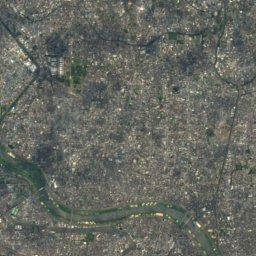
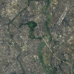
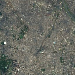
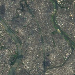
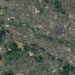
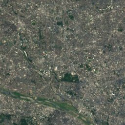
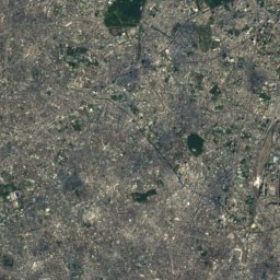
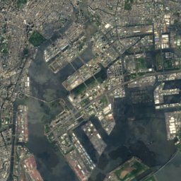
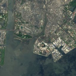
Satellite: Sentinel-2 cloudless 2016 by EOX IT Services GmbH · CC BY 4.0 · Contains modified Copernicus Sentinel data 2016
Stay nearby
Towns close by


Around here
Ryōgoku and around
Nature


Mountains

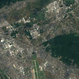
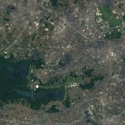
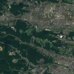
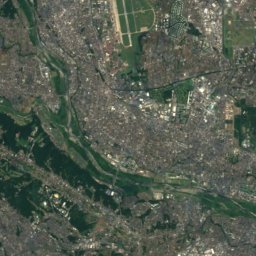
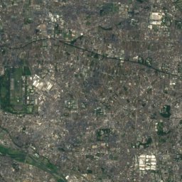
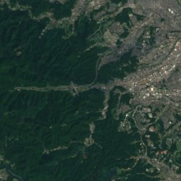
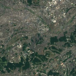
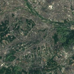
Satellite: Sentinel-2 cloudless 2016 by EOX IT Services GmbH · CC BY 4.0 · Contains modified Copernicus Sentinel data 2016
Mount Sengen, Tokyo
80 m

Heritage

National Museum of Western Art
Registered Monument of Japan · 1959


