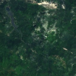
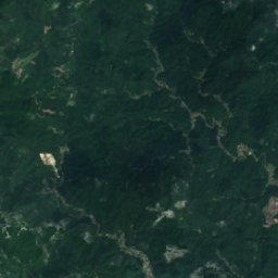
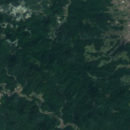
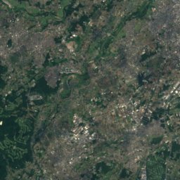
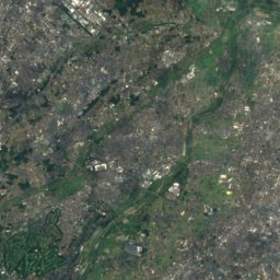
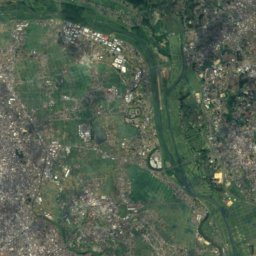
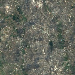
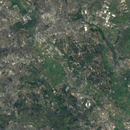
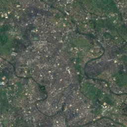
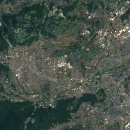
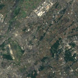
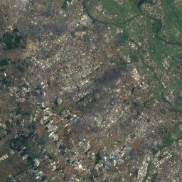
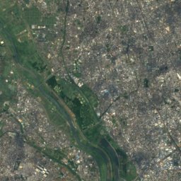
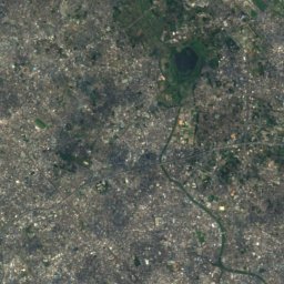
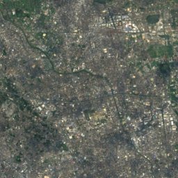
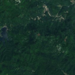
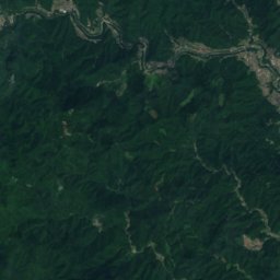
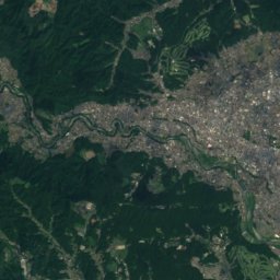
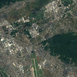
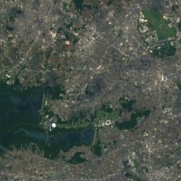
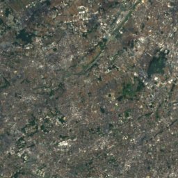
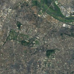
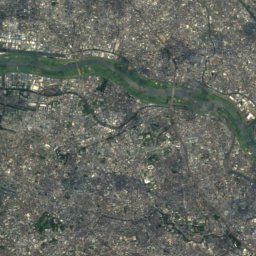
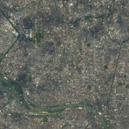
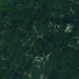
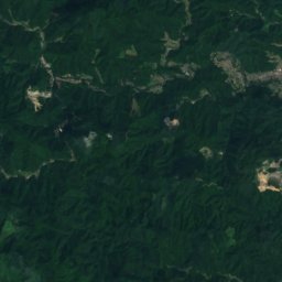
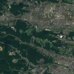
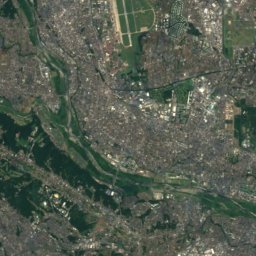
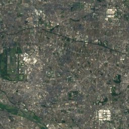
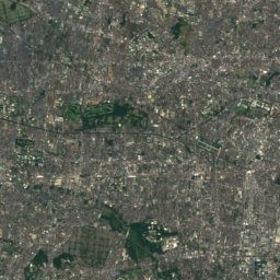
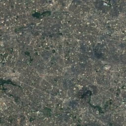
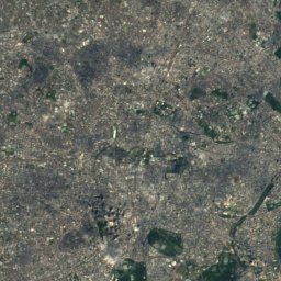
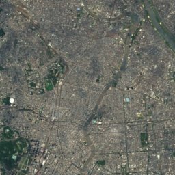
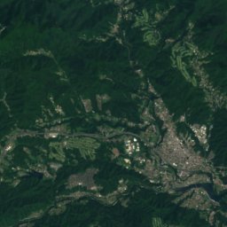
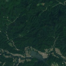
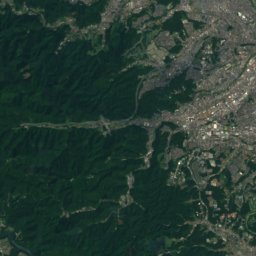
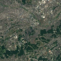
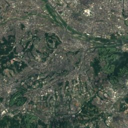
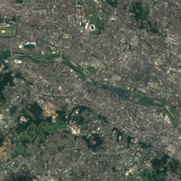
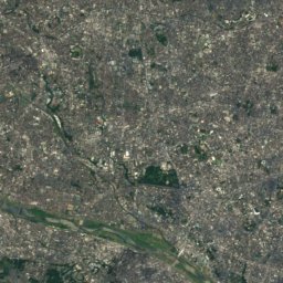
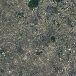
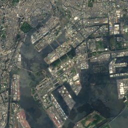
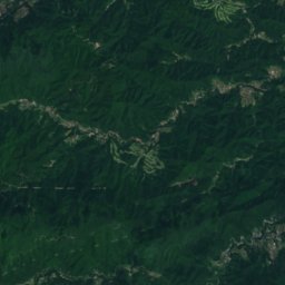
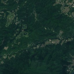
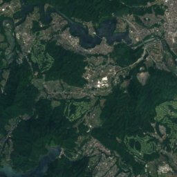
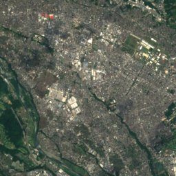
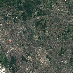
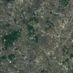
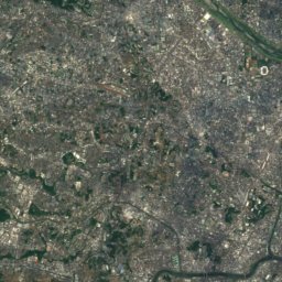
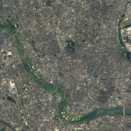
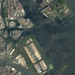
Satellite: Sentinel-2 cloudless 2016 by EOX IT Services GmbH · CC BY 4.0 · Contains modified Copernicus Sentinel data 2016
 Mount Takao

Photo: ja:User:Mocchy · Public domain · Wikimedia Commons
Mount ShiroyamaReport this photo · linked, not stored
Mount ShiroyamaMount ShiroyamaReport this photo · linked, not stored
 城山 (相模原市)

Photo: 散歩 · Public domain · Wikimedia Commons
Mount Takao (Kanagawa prefecture)Report this photo · linked, not stored
Mount Takao (Kanagawa prefecture)Mount Takao (Kanagawa prefecture)Report this photo · linked, not stored
Tokyo · JapanSummit weather, forecast and climate
Mount Sengen, Tokyo
80 m
Elevation80 mabove sea level
Prominence–independent height
Isolation19 kmto a higher summit
Summit, Jul28°average high
35.68° N, 139.50° EElevation 80 mUTC+9 · Japan Standard Time
From the valley to the top
- Summit80 m
- Mid-mountain40 m
- Valley0 m
Freezing level in October: above the summit
iThe mountain
Mount Sengen, Tokyo in brief
Mount Sengen, Tokyo rises to 80 m, Tokyo, Japan.
At the summit, August is the mildest month with average highs of 29°, while nights fall below freezing in 2 months of the year.
The nearest town in the atlas is Fuchū, 2.0 km to the W at 59 m.
iiForecast
Weather at three heights
Temperatures are adjusted to each height; summits are usually colder and windier than the valley forecast suggests.
Loading the latest forecast…
Loading the latest forecast…
Loading the latest forecast…
iiiSummit climate
The top of Mount Sengen, Tokyo by month
Summit temperatures and precipitation
Climate normals for the summit area (~1 km grid), station-adjusted| Month | Jan | Feb | Mar | Apr | May | Jun | Jul | Aug | Sep | Oct | Nov | Dec |
|---|---|---|---|---|---|---|---|---|---|---|---|---|
| Average high | 8° | 8° | 12° | 17° | 21° | 24° | 28° | 29° | 26° | 20° | 15° | 11° |
| Average low | -1° | -1° | 3° | 9° | 14° | 18° | 22° | 23° | 20° | 13° | 7° | 2° |
| Precipitation | 44 mm | 48 mm | 97 mm | 112 mm | 124 mm | 154 mm | 154 mm | 174 mm | 200 mm | 171 mm | 80 mm | 45 mm |
| Cloud cover | 27% | 33% | 43% | 45% | 52% | 61% | 54% | 41% | 48% | 43% | 36% | 26% |
| Daylight | 10h 00 | 10h 53 | 11h 55 | 13h 04 | 14h 02 | 14h 33 | 14h 21 | 13h 33 | 12h 27 | 11h 20 | 10h 19 | 9h 46 |
| Month score | 46 | 44 | 35 | 59 | 58 | 54 | 46 | 45 | 57 | 62 | 61 | 49 |
Snow and freezing level
Average height of the 0 °C level from the summit normals (6.5 °C per km); snow months have a summit mean at or below +1 °C| Month | Jan | Feb | Mar | Apr | May | Jun | Jul | Aug | Sep | Oct | Nov | Dec |
|---|---|---|---|---|---|---|---|---|---|---|---|---|
| Freezing level | 600 m | 650 m | 1,200 m | 2,050 m | 2,750 m | 3,300 m | 3,850 m | 4,100 m | 3,550 m | 2,650 m | 1,800 m | 1,050 m |
| Summit | above 0 °C | above 0 °C | above 0 °C | above 0 °C | above 0 °C | above 0 °C | above 0 °C | above 0 °C | above 0 °C | above 0 °C | above 0 °C | above 0 °C |
ivTerrain
Mount Sengen, Tokyo in 3D
vNeighbours
Mountains of JapanPeaks nearby
| Mountain | Elevation | Prominence | Distance | July summit high |
|---|---|---|---|---|
| Mount Takao | 599 m | – | 24 km W | 26° |
| Mount Shiroyama | 446 m | – | 23 km W | 26° |
| 城山 (相模原市) | 375 m | – | 23 km SW | 27° |
| Mount Takao (Kanagawa prefecture) | 100 m | – | 19 km S | 27° |
| Mount Hakone, Tokyo | 45 m | – | 19 km E | 28° |
| Mount Atago, Tokyo | 26 m | – | 22 km E | 28° |


Around here
Fuchū and around
Nature


Photo: 多摩に暇人 at Japanese Wikipedia · CC BY 3.0 · Wikimedia CommonsReport this photo · linked, not stored
Shirako River
River
Mountains

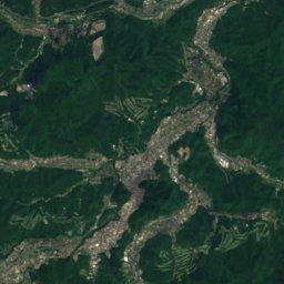
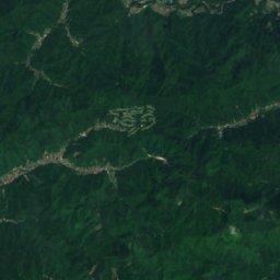
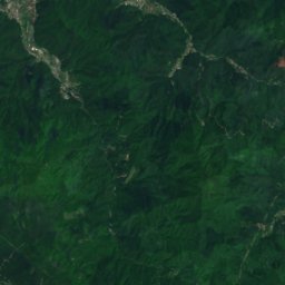
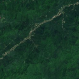
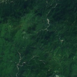
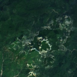
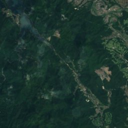
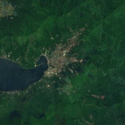
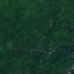
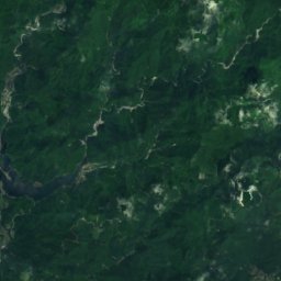
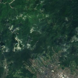
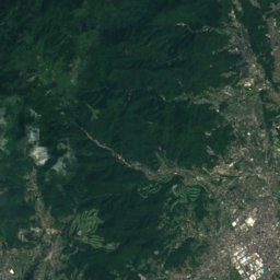
Satellite: Sentinel-2 cloudless 2016 by EOX IT Services GmbH · CC BY 4.0 · Contains modified Copernicus Sentinel data 2016
Mount Fudōnomine
1,614 m · Tanzawa Mountains

Heritage

Musashi Fuchū Kumano Shrine Kofun
Historic Site of Japan · 700


Satellite: Sentinel-2 cloudless 2016 by EOX IT Services GmbH · CC BY 4.0 · Contains modified Copernicus Sentinel data 2016
Babadaimon no Keyaki Namiki
Natural Monument of Japan


