Skip to content
Destinations
Weather & climate
Nature
Outdoors
Culture
Events
Sky & live
Rifugio Nuvolau
Photo: gogolander · CC BY-SA 3.0 · Wikimedia Commons
Rifugio NuvolauReport this photo · linked, not stored
Rifugio Averau
Photo: Lorenzo Colombo (Olonia) · CC BY-SA 3.0 · Wikimedia Commons
Rifugio AverauReport this photo · linked, not stored
Rifugio Averau
Rifugio Scoiattoli
Photo: kallerna · CC BY-SA 4.0 · Wikimedia Commons
Rifugio ScoiattoliReport this photo · linked, not stored
Rifugio Scoiattoli
Rifugio Cinque Torri
Photo: Lorenzo Colombo (Olonia) · CC BY-SA 3.0 · Wikimedia Commons
Rifugio Cinque TorriReport this photo · linked, not stored
Rifugio Cinque Torri
Lake Limides
Photo: Dreamy Pixel · CC BY 4.0 · Wikimedia Commons
Lake LimidesReport this photo · linked, not stored
Lake Limides
Mountain hutSelva di Cadore, Veneto

Rifugio Nuvolau

Mountain hut2,574 m elevationBest Jun–Aug
Elevation2,574 mabove sea level
Area–surface
Nearest townSelva di Cadore5.1 km
46.50° N, 12.05° EElevation 2,574 mUTC+2 · Central European Summer Time
When to goSelva di Cadore · weather score
JanFebMarAprMayJunJulAugSepOctNovDec27October
Best timeJun–Aug
October: high / low10° / 2°
Mountain hut

Rifugio Nuvolau in brief

Rifugio Nuvolau is a mountain hut in Selva di Cadore, Veneto, Italy — Italian mountain hut.

It lies at 2,574 m above sea level.

The nearest town in the atlas is Selva di Cadore, 5.1 km to the S, where the weather is best in June, July and August.

Selva di Cadore: weather and travel guide

Weather nearby now

Forecast for Selva di Cadore
5°
Sunny now
Wind7 km/h
Humidity46%
Cloud cover2%
Today
22 Oct
6°
-2°
2 mm
Fri
23 Oct
4°
1°
1 mm
Sat
24 Oct
3°
-5°
3 mm
Sun
25 Oct
5°
-4°
Mon
26 Oct
10°
1°

Model run 00:00 UTCRefreshed several times a day

When to go

The best months around Rifugio Nuvolau

Climate of Selva di Cadore

Month score in Selva di Cadore

Comfort, dry days and sunshine · out of 100
35
Jan
33
Feb
28
Mar
18
Apr
38
May
62
Jun
65
Jul
65
Aug
48
Sep
27
Oct
24
Nov
31
Dec
Map

Rifugio Nuvolau from above

Nature nearbyAll of Italy
Photo: Lorenzo Colombo (Olonia) · CC BY-SA 3.0 · Wikimedia CommonsReport this photo · linked, not stored
Rifugio AverauMountain hut0.5 kmNWRifugio Averau
Photo: kallerna · CC BY-SA 4.0 · Wikimedia CommonsReport this photo · linked, not stored
Rifugio ScoiattoliMountain hut1.4 kmNRifugio Scoiattoli
Photo: Lorenzo Colombo (Olonia) · CC BY-SA 3.0 · Wikimedia CommonsReport this photo · linked, not stored
Rifugio Cinque TorriMountain hut1.6 kmNERifugio Cinque Torri
Photo: Dreamy Pixel · CC BY 4.0 · Wikimedia CommonsReport this photo · linked, not stored
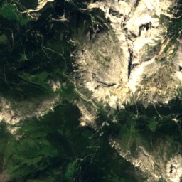
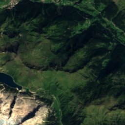
Lake LimidesLake2.5 kmNWLake Limides
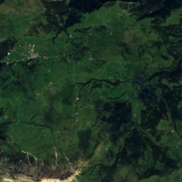
Satellite: Sentinel-2 cloudless 2016 by EOX IT Services GmbH · CC BY 4.0 · Contains modified Copernicus Sentinel data 2016
Lago delle BasteLake4.2 kmSELago delle Baste
Photo: Lorenzo Colombo (Olonia) · CC BY-SA 3.0 · Wikimedia CommonsReport this photo · linked, not stored
Rifugio Angelo DibonaMountain hut4.5 kmNERifugio Angelo Dibona
Summits nearbyMountains of Italy
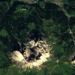
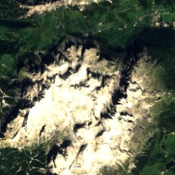
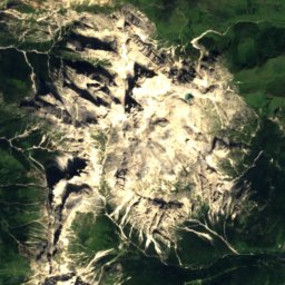
Satellite: Sentinel-2 cloudless 2016 by EOX IT Services GmbH · CC BY 4.0 · Contains modified Copernicus Sentinel data 2016
La Marmolada16 km SW3,343 mJuly 8°La Marmolada
Photo: kallerna · CC BY-SA 4.0 · Wikimedia CommonsReport this photo · linked, not stored
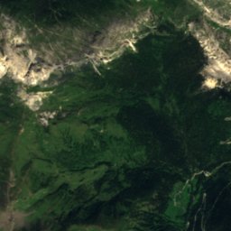
Punta Penia16 km SW3,343 mJuly 9°Punta Penia
Photo: Giacomo Berardi · CC BY-SA 4.0 · Wikimedia CommonsReport this photo · linked, not stored
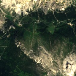
Punta Rocca16 km SW3,309 mJuly 8°Punta Rocca
Photo: kallerna · CC BY-SA 4.0 · Wikimedia CommonsReport this photo · linked, not stored
Antelao17 km E3,264 mJuly 8°Antelao
Photo: Ximonic, Simo Räsänen · CC BY 2.5 · Wikimedia CommonsReport this photo · linked, not stored
Tofana di Mezzo6.4 km N3,244 mJuly 8°Tofana di Mezzo
Photo: Thesurvived99 · CC BY-SA 3.0 · Wikimedia CommonsReport this photo · linked, not stored
Tofana di Dentro7.0 km N3,238 mJuly 8°Tofana di Dentro
Stay nearby

Towns close by

Selva di Cadore
Photo: piero tasso · CC BY-SA 3.0 · Wikimedia CommonsReport this photo · linked, not stored
Selva di Cadore

Veneto · 5.1 km S
10°Oct high
11wet days
27score
Selva di Cadore
Colle Santa Lucia
Photo: Mauri172 · CC BY-SA 4.0 · Wikimedia CommonsReport this photo · linked, not stored
Colle Santa Lucia

Veneto · 5.8 km SW
12°Oct high
11wet days
36score
Colle Santa Lucia
Livinallongo del Col di Lana
Photo: Alexander Hoernigk · CC BY 3.0 · Wikimedia CommonsReport this photo · linked, not stored
Livinallongo del Col di Lana

Veneto · 7.2 km W
12°Oct high
11wet days
36score
Livinallongo del Col di Lana
Cortina d'Ampezzo
Photo: kallerna · CC BY-SA 4.0 · Wikimedia CommonsReport this photo · linked, not stored
Cortina d'Ampezzo

Veneto · 8.5 km NE
13°Oct high
13wet days
37score
Cortina d'Ampezzo
Around here

Selva di Cadore and around

Selva di Cadore
Photo: piero tasso · CC BY-SA 3.0 · Wikimedia CommonsReport this photo · linked, not stored
Selva di Cadore

Veneto · Italy
Jun–Augbest months
20°July high
1,505 maltitude
Selva di Cadore

Nature

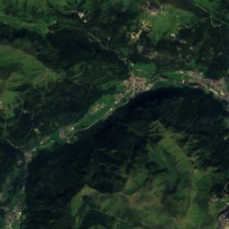
Satellite: Sentinel-2 cloudless 2016 by EOX IT Services GmbH · CC BY 4.0 · Contains modified Copernicus Sentinel data 2016
5.8 km SW

Lake Alleghe

Lake · 966 m
Lake Alleghe
Rifugio Città di Fiume
Photo: Dirgela · CC BY-SA 3.0 · Wikimedia CommonsReport this photo · linked, not stored
5.0 km E

Rifugio Città di Fiume

Mountain hut · 1,917 m
Rifugio Città di Fiume
Lago Fedèra
Photo: Gnopera83 · CC BY-SA 4.0 · Wikimedia CommonsReport this photo · linked, not stored
5.6 km NE

Lago Fedèra

Lake · 2,038 m
Lago Fedèra

Mountains

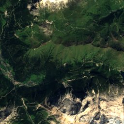
Satellite: Sentinel-2 cloudless 2016 by EOX IT Services GmbH · CC BY 4.0 · Contains modified Copernicus Sentinel data 2016
16 km W

La Marmolada

3,343 m
La Marmolada
Punta Penia
Photo: kallerna · CC BY-SA 4.0 · Wikimedia CommonsReport this photo · linked, not stored
16 km W

Punta Penia

3,343 m · Dolomites
Punta Penia
Punta Rocca
Photo: Giacomo Berardi · CC BY-SA 4.0 · Wikimedia CommonsReport this photo · linked, not stored
16 km W

Punta Rocca

3,309 m · Marmolada
Punta Rocca

Heritage

Saint Lawrence church, Colle Santa Lucia
Photo: 2015 Michael 2015 · CC BY-SA 4.0 · Wikimedia CommonsReport this photo · linked, not stored
1.8 km W

Saint Lawrence church, Colle Santa Lucia

Italian national heritage
Saint Lawrence church, Colle Santa Lucia
Castello de Zanna
Photo: Wusel007 · CC BY-SA 3.0 · Wikimedia CommonsReport this photo · linked, not stored
12 km NE

Castello de Zanna

Italian national heritage · 1694
Castello de Zanna
Saint Mary Magdalene church, Rocca Pietore
Photo: Marchetto da Trieste · CC BY-SA 4.0 · Wikimedia CommonsReport this photo · linked, not stored
6.3 km W

Saint Mary Magdalene church, Rocca Pietore

Italian national heritage
Saint Mary Magdalene church, Rocca Pietore

Museums

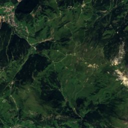
Satellite: Sentinel-2 cloudless 2016 by EOX IT Services GmbH · CC BY 4.0 · Contains modified Copernicus Sentinel data 2016
1.4 km W

Museo Vittorino Cazzetta

Natural history museum
Museo Vittorino Cazzetta
Forte Tre Sassi
Photo: Unterillertaler · CC BY-SA 3.0 · Wikimedia CommonsReport this photo · linked, not stored
10 km NW

Forte Tre Sassi

History museum · 2002
Forte Tre Sassi
Mario Rimoldi Modern Art Museum
Photo: MaiDireLollo · CC BY-SA 3.0 · Wikimedia CommonsReport this photo · linked, not stored
11 km NE

Mario Rimoldi Modern Art Museum

Museum of modern art · 1974
Mario Rimoldi Modern Art Museum