Skip to content
Destinations
Weather & climate
Nature
Outdoors
Culture
Events
Sky & live
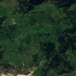
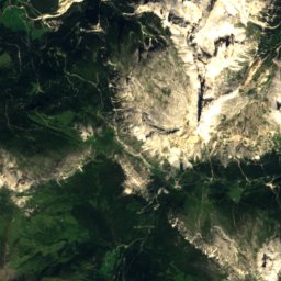
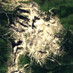
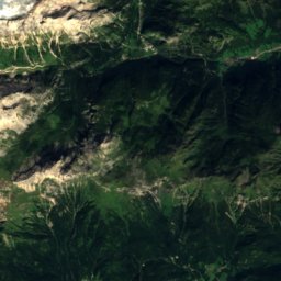
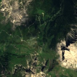
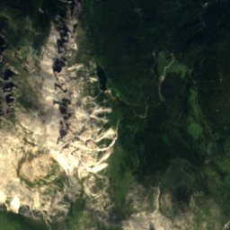
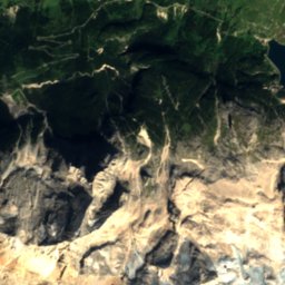
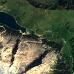
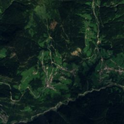
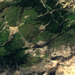
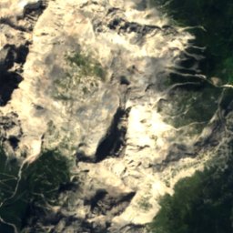
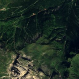
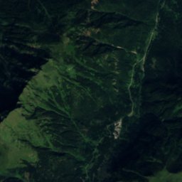
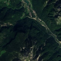
Satellite: Sentinel-2 cloudless 2016 by EOX IT Services GmbH · CC BY 4.0 · Contains modified Copernicus Sentinel data 2016
Rifugio Tissi
Photo: Number 21 · CC BY-SA 3.0 · Wikimedia Commons
Rifugio TissiReport this photo · linked, not stored
Rifugio Tissi
Lago Coldai
Photo: kallerna · CC BY-SA 4.0 · Wikimedia Commons
Lago ColdaiReport this photo · linked, not stored
Lago Coldai
Rifugio Sonino al Coldai
Photo: Mauro742 · CC BY-SA 3.0 · Wikimedia Commons
Rifugio Sonino al ColdaiReport this photo · linked, not stored
Rifugio Sonino al Coldai
Rifugio Torrani
Photo: Ceddo · CC BY-SA 3.0 · Wikimedia Commons
Rifugio TorraniReport this photo · linked, not stored
Rifugio Torrani
LakeAlleghe, Veneto

Lake Alleghe

Lake966 m elevationBest Jun–Aug
Elevation966 mabove sea level
Area0.3 km²surface
Nearest townAlleghe0.6 km
46.41° N, 12.02° EElevation 966 mUTC+2 · Central European Summer Time
When to goAlleghe · weather score
JanFebMarAprMayJunJulAugSepOctNovDec45October
Best timeJun–Aug
October: high / low14° / 5°
Lake

Lake Alleghe in brief

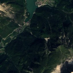
Lake Alleghe is a lake in Alleghe, Veneto, Italy.

It lies at 966 m above sea level and covers about 0.3 km².

The nearest town in the atlas is Alleghe, 0.6 km to the E, where the weather is best in June, July and August.

Alleghe: weather and travel guide

Weather nearby now

Forecast for Alleghe
8°
Sunny now
Wind7 km/h
Humidity46%
Cloud cover2%
Today
22 Oct
9°
1°
2 mm
Fri
23 Oct
8°
4°
1 mm
Sat
24 Oct
6°
-2°
3 mm
Sun
25 Oct
9°
-1°
Mon
26 Oct
13°
5°

Model run 00:00 UTCRefreshed several times a day

The lake's water

Surface, average depth and volume of the lake, and the length of its shore.
Surface0.3 km²
Average depth8 m
Volume2 million m³
Shoreline3.3 km
average depth 8 msurface at 966 m
When to go

The best months around Lake Alleghe

Climate of Alleghe

Month score in Alleghe

Comfort, dry days and sunshine · out of 100
38
Jan
37
Feb
31
Mar
36
Apr
61
May
64
Jun
66
Jul
65
Aug
63
Sep
45
Oct
27
Nov
35
Dec
Map

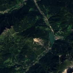
Lake Alleghe from above

Nature nearbyAll of Italy
Photo: Number 21 · CC BY-SA 3.0 · Wikimedia CommonsReport this photo · linked, not stored
Rifugio TissiMountain hut2.5 kmSERifugio Tissi
Photo: kallerna · CC BY-SA 4.0 · Wikimedia CommonsReport this photo · linked, not stored
Lago ColdaiLake3.6 kmELago Coldai
Photo: Mauro742 · CC BY-SA 3.0 · Wikimedia CommonsReport this photo · linked, not stored
Rifugio Sonino al ColdaiMountain hut4.2 kmERifugio Sonino al Coldai
Photo: Ceddo · CC BY-SA 3.0 · Wikimedia CommonsReport this photo · linked, not stored
Rifugio TorraniMountain hut4.4 kmSERifugio Torrani
Photo: Matteo Tani · Public domain · Wikimedia CommonsReport this photo · linked, not stored
Rifugio VazzolerMountain hut5.9 kmSRifugio Vazzoler
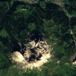
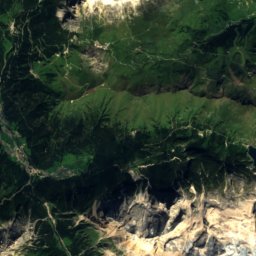
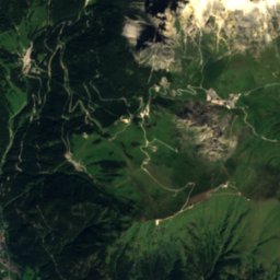
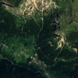
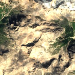
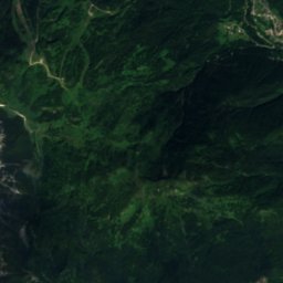
Satellite: Sentinel-2 cloudless 2016 by EOX IT Services GmbH · CC BY 4.0 · Contains modified Copernicus Sentinel data 2016
Rifugio PalafaveraMountain hut6.5 kmERifugio Palafavera
Summits nearbyMountains of Italy
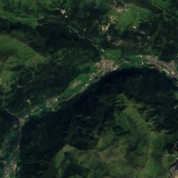
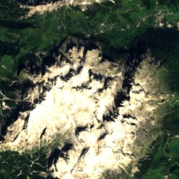
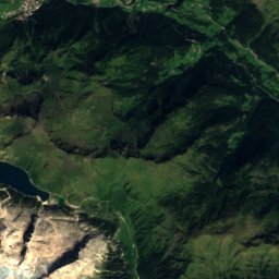
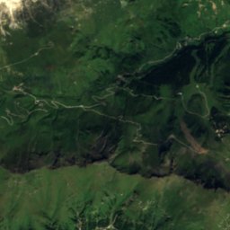
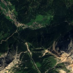
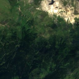
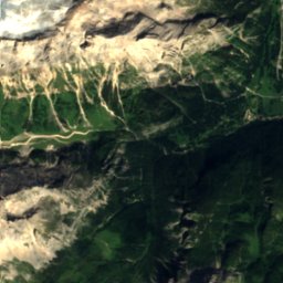
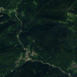
Satellite: Sentinel-2 cloudless 2016 by EOX IT Services GmbH · CC BY 4.0 · Contains modified Copernicus Sentinel data 2016
La Marmolada13 km W3,343 mJuly 8°La Marmolada
Photo: kallerna · CC BY-SA 4.0 · Wikimedia CommonsReport this photo · linked, not stored
Punta Penia13 km W3,343 mJuly 9°Punta Penia
Photo: Giacomo Berardi · CC BY-SA 4.0 · Wikimedia CommonsReport this photo · linked, not stored
Punta Rocca13 km W3,309 mJuly 8°Punta Rocca
Photo: kallerna · CC BY-SA 4.0 · Wikimedia CommonsReport this photo · linked, not stored
Antelao19 km E3,264 mJuly 8°Antelao
Photo: Ximonic, Simo Räsänen · CC BY 2.5 · Wikimedia CommonsReport this photo · linked, not stored
Tofana di Mezzo17 km N3,244 mJuly 8°Tofana di Mezzo
Photo: Thesurvived99 · CC BY-SA 3.0 · Wikimedia CommonsReport this photo · linked, not stored
Tofana di Dentro17 km N3,238 mJuly 8°Tofana di Dentro
Stay nearby

Towns close by

Alleghe
Photo: Tiia Monto · CC BY-SA 3.0 · Wikimedia CommonsReport this photo · linked, not stored

Alleghe

Veneto · 0.6 km E
14°Oct high
11wet days
45score
Alleghe
Rocca Pietore
Photo: Marchetto da Trieste · CC BY-SA 4.0 · Wikimedia CommonsReport this photo · linked, not stored

Rocca Pietore

Veneto · 4.3 km NW
13°Oct high
11wet days
43score
Rocca Pietore
Colle Santa Lucia
Photo: Mauri172 · CC BY-SA 4.0 · Wikimedia CommonsReport this photo · linked, not stored

Colle Santa Lucia

Veneto · 4.7 km N
12°Oct high
11wet days
36score
Colle Santa Lucia
Selva di Cadore
Photo: piero tasso · CC BY-SA 3.0 · Wikimedia CommonsReport this photo · linked, not stored

Selva di Cadore

Veneto · 5.8 km NE
10°Oct high
11wet days
27score
Selva di Cadore
Around here

Alleghe and around

Alleghe
Photo: Tiia Monto · CC BY-SA 3.0 · Wikimedia CommonsReport this photo · linked, not stored

Alleghe

Veneto · Italy
Jun–Augbest months
24°July high
979 maltitude
Alleghe

Nature

Rifugio Città di Fiume
Photo: Dirgela · CC BY-SA 3.0 · Wikimedia CommonsReport this photo · linked, not stored
7.7 km E

Rifugio Città di Fiume

Mountain hut · 1,917 m
Rifugio Città di Fiume
Rifugio Tissi
Photo: Number 21 · CC BY-SA 3.0 · Wikimedia CommonsReport this photo · linked, not stored
2.3 km S

Rifugio Tissi

Mountain hut · 2,250 m
Rifugio Tissi
Rifugio Sonino al Coldai
Photo: Mauro742 · CC BY-SA 3.0 · Wikimedia CommonsReport this photo · linked, not stored
3.6 km E

Rifugio Sonino al Coldai

Mountain hut · 2,132 m
Rifugio Sonino al Coldai

Mountains

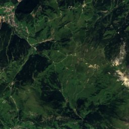
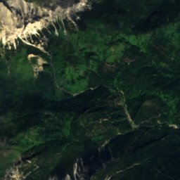
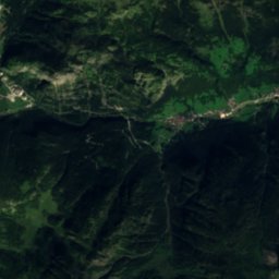
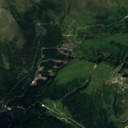
Satellite: Sentinel-2 cloudless 2016 by EOX IT Services GmbH · CC BY 4.0 · Contains modified Copernicus Sentinel data 2016
14 km W

La Marmolada

3,343 m
La Marmolada
Punta Penia
Photo: kallerna · CC BY-SA 4.0 · Wikimedia CommonsReport this photo · linked, not stored
14 km W

Punta Penia

3,343 m · Dolomites
Punta Penia
Punta Rocca
Photo: Giacomo Berardi · CC BY-SA 4.0 · Wikimedia CommonsReport this photo · linked, not stored
13 km W

Punta Rocca

3,309 m · Marmolada
Punta Rocca

Heritage

Marmolada
Photo: 2015 Michael 2015 · CC BY-SA 4.0 · Wikimedia CommonsReport this photo · linked, not stored
13 km W

Marmolada

part of UNESCO World Heritage Site
Marmolada
Saint Mary Magdalene church, Rocca Pietore
Photo: Marchetto da Trieste · CC BY-SA 4.0 · Wikimedia CommonsReport this photo · linked, not stored
4.7 km NW

Saint Mary Magdalene church, Rocca Pietore

Italian national heritage
Saint Mary Magdalene church, Rocca Pietore
Andraz Castle
Photo: Unterillertaler · CC BY-SA 3.0 · Wikimedia CommonsReport this photo · linked, not stored
11 km N

Andraz Castle

Italian national heritage
Andraz Castle

Museums

Forte Tre Sassi
Photo: Unterillertaler · CC BY-SA 3.0 · Wikimedia CommonsReport this photo · linked, not stored
14 km N

Forte Tre Sassi

History museum · 2002
Forte Tre Sassi
Albino Luciani Museum
Photo: Syrio · CC BY-SA 4.0 · Wikimedia CommonsReport this photo · linked, not stored
9.8 km SW

Albino Luciani Museum

Religious museum
Albino Luciani Museum
Birth house of pope John Paul I
Photo: Syrio · CC BY-SA 4.0 · Wikimedia CommonsReport this photo · linked, not stored
10 km SW

Birth house of pope John Paul I

Historic house museum
Birth house of pope John Paul I