Skip to content
Destinations
Weather & climate
Nature
Outdoors
Culture
Events
Sky & live
River Poddle
Photo: © O'Dea at Wikimedia Commons, CC BY-SA 4.0 · CC BY-SA 4.0 · Wikimedia Commons
River PoddleReport this photo · linked, not stored
Owendoher River
Photo: Deitel55 · CC BY-SA 3.0 · Wikimedia Commons
Owendoher RiverReport this photo · linked, not stored
Owendoher River
Camac
Photo: Deitel55 at English Wikipedia · Public domain · Wikimedia Commons
CamacReport this photo · linked, not stored
Camac
Bradogue River
Photo: SeoR · CC BY-SA 4.0 · Wikimedia Commons
Bradogue RiverReport this photo · linked, not stored
Bradogue River
River Dodder
Photo: Cqui · CC BY-SA 3.0 · Wikimedia Commons
River DodderReport this photo · linked, not stored
River Dodder
RiverKnocklyon, Leinster

River Poddle

RiverBest Jun–Aug
Elevation–above sea level
Length6.0 kmsource to mouth
Nearest townKnocklyon2.6 km
53.30° N, 6.33° WUTC+1 · Irish Standard Time
When to goKnocklyon · weather score
JanFebMarAprMayJunJulAugSepOctNovDec38October
Best timeJun–Aug
October: high / low14° / 7°
River

River Poddle in brief

River Poddle is a river in Knocklyon, Leinster, Ireland.

The nearest town in the atlas is Knocklyon, 2.6 km to the S, where the weather is best in June, July and August.

River Poddle is 6.0 km long.

Knocklyon: weather and travel guide

Weather nearby now

Forecast for Knocklyon
12°
Cloudy now
Wind10 km/h
Humidity62%
Cloud cover97%
Today
22 Oct
13°
4°
3 mm
Fri
23 Oct
11°
4°
27 mm
Sat
24 Oct
15°
6°
20 mm
Sun
25 Oct
12°
6°
Mon
26 Oct
17°
5°
7 mm

Model run 00:00 UTCRefreshed several times a day

When to go

The best months around River Poddle

Climate of Knocklyon

Month score in Knocklyon

Comfort, dry days and sunshine · out of 100
Map

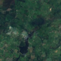
River Poddle from above

Nature nearbyAll of Ireland
Photo: Deitel55 · CC BY-SA 3.0 · Wikimedia CommonsReport this photo · linked, not stored
Owendoher RiverRiver3.1 kmEOwendoher River
Photo: Deitel55 at English Wikipedia · Public domain · Wikimedia CommonsReport this photo · linked, not stored
CamacRiver5.4 kmNECamac
Photo: SeoR · CC BY-SA 4.0 · Wikimedia CommonsReport this photo · linked, not stored
Bradogue RiverRiver6.1 kmNEBradogue River
Photo: Cqui · CC BY-SA 3.0 · Wikimedia CommonsReport this photo · linked, not stored
River DodderRiver8.0 kmNERiver Dodder
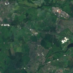
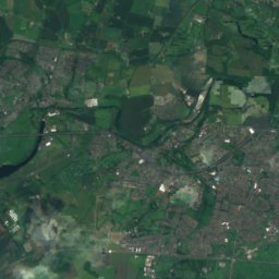
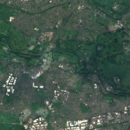
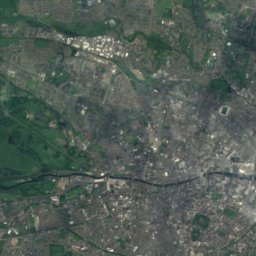
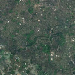
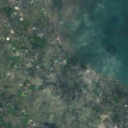
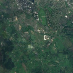
Satellite: Sentinel-2 cloudless 2016 by EOX IT Services GmbH · CC BY 4.0 · Contains modified Copernicus Sentinel data 2016
Rathmines and Rathgar WaterworksLake8.0 kmSRathmines and Rathgar Waterworks
Photo: Sarah777 at en.wikipedia · Public domain · Wikimedia CommonsReport this photo · linked, not stored
Sandymount StrandBeach8.5 kmESandymount Strand
Summits nearbyMountains of Ireland
Photo: Britishfinance · CC BY-SA 4.0 · Wikimedia CommonsReport this photo · linked, not stored
Mullaghcleevaun23 km S849 mJuly 15°Mullaghcleevaun
Photo: Sarah777 at English Wikipedia · Public domain · Wikimedia CommonsReport this photo · linked, not stored
Kippure15 km S757 mJuly 16°Kippure
Photo: Sarah777 at English Wikipedia · Public domain · Wikimedia CommonsReport this photo · linked, not stored
Djouce20 km S725 mJuly 16°Djouce
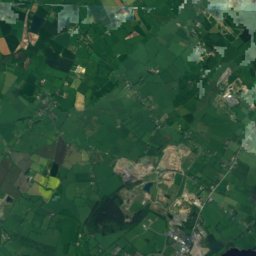
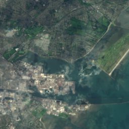
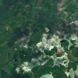
Satellite: Sentinel-2 cloudless 2016 by EOX IT Services GmbH · CC BY 4.0 · Contains modified Copernicus Sentinel data 2016
Seefingan13 km S724 mJuly 16°Seefingan
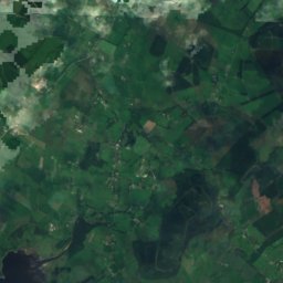
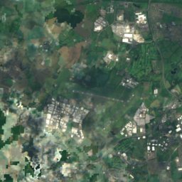
Satellite: Sentinel-2 cloudless 2016 by EOX IT Services GmbH · CC BY 4.0 · Contains modified Copernicus Sentinel data 2016
Duff Hill21 km S720 mJuly 17°Duff Hill
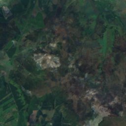
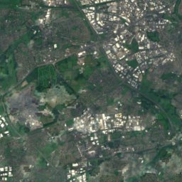
Satellite: Sentinel-2 cloudless 2016 by EOX IT Services GmbH · CC BY 4.0 · Contains modified Copernicus Sentinel data 2016
Gravale20 km S718 mJuly 16°Gravale
Stay nearby

Towns close by

Knocklyon
Photo: Sarah777 · Public domain · Wikimedia CommonsReport this photo · linked, not stored

Knocklyon

Leinster · 2.6 km S
14°Oct high
17wet days
38score
Knocklyon
Rathfarnham
Photo: The original uploader was Suckindiesel at English Wikipedia. · CC BY 2.5 · Wikimedia CommonsReport this photo · linked, not stored

Rathfarnham

Leinster · 3.1 km E
14°Oct high
17wet days
39score
Rathfarnham
Tallaght
Photo: 瑞丽江的河水 · CC BY-SA 4.0 · Wikimedia CommonsReport this photo · linked, not stored

Tallaght

Leinster · 3.6 km SW
14°Oct high
17wet days
38score
Tallaght
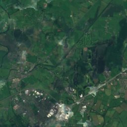
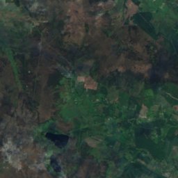
Satellite: Sentinel-2 cloudless 2016 by EOX IT Services GmbH · CC BY 4.0 · Contains modified Copernicus Sentinel data 2016

Oldbawn

Leinster · 4.1 km SW
14°Oct high
17wet days
38score
Oldbawn
Around here

Knocklyon and around

Knocklyon
Photo: Sarah777 · Public domain · Wikimedia CommonsReport this photo · linked, not stored

Knocklyon

Leinster · Ireland
Jun–Augbest months
20°July high
87 maltitude
Knocklyon

Nature

River Dodder
Photo: Cqui · CC BY-SA 3.0 · Wikimedia CommonsReport this photo · linked, not stored
9.8 km NE

River Dodder

River
River Dodder
River Tolka
Photo: jwd · CC BY-SA 2.0 · Wikimedia CommonsReport this photo · linked, not stored
11 km NE

River Tolka

River
River Tolka
Camac
Photo: Deitel55 at English Wikipedia · Public domain · Wikimedia CommonsReport this photo · linked, not stored
7.8 km N

Camac

River
Camac

Mountains

Lugnaquilla
Photo: Joe King · CC BY-SA 3.0 · Wikimedia CommonsReport this photo · linked, not stored
36 km S

Lugnaquilla

925 m · Wicklow Mountains
Lugnaquilla
Mullaghcleevaun
Photo: Britishfinance · CC BY-SA 4.0 · Wikimedia CommonsReport this photo · linked, not stored
20 km S

Mullaghcleevaun

849 m · Wicklow Mountains
Mullaghcleevaun
Tonelagee
Photo: Rob Hurson · CC BY-SA 2.0 · Wikimedia CommonsReport this photo · linked, not stored
25 km S

Tonelagee

817 m · Wicklow Mountains
Tonelagee

Heritage

Casino at Marino
Photo: AnonymousUnknown author · Public domain · Wikimedia CommonsReport this photo · linked, not stored
12 km NE

Casino at Marino

national monument of Ireland · 1757
Casino at Marino
Rathfarnham Castle
Photo: AndrewH at English Wikipedia · Public domain · Wikimedia CommonsReport this photo · linked, not stored
3.7 km NE

Rathfarnham Castle

national monument of Ireland · 1583
Rathfarnham Castle
Kilmainham Gaol
Photo: Nol Aders · CC BY-SA 3.0 · Wikimedia CommonsReport this photo · linked, not stored
7.0 km N

Kilmainham Gaol

national monument of Ireland
Kilmainham Gaol

Museums

Satellite: Sentinel-2 cloudless 2016 by EOX IT Services GmbH · CC BY 4.0 · Contains modified Copernicus Sentinel data 2016
3.3 km E

Pearse Museum

1979
Pearse Museum
National Museum of Ireland
Photo: Photograph by Mike Peel (www.mikepeel.net). · CC BY-SA 4.0 · Wikimedia CommonsReport this photo · linked, not stored
8.4 km NE

National Museum of Ireland

Military museum · 1877
National Museum of Ireland
Satellite: Sentinel-2 cloudless 2016 by EOX IT Services GmbH · CC BY 4.0 · Contains modified Copernicus Sentinel data 2016
8.4 km NE

National Museum of Ireland, Kildare Street

Military museum · 1890
National Museum of Ireland, Kildare Street