
Photo: Deitel55 at English Wikipedia · Public domain · Wikimedia Commons
CamacReport this photo · linked, not stored
CamacReport this photo · linked, not stored
 Bradogue River
 River Dodder
 River Tolka

Photo: Deitel55 · CC BY-SA 3.0 · Wikimedia Commons
Owendoher RiverReport this photo · linked, not stored
Owendoher RiverOwendoher RiverReport this photo · linked, not stored
RiverRanelagh, Leinster
Camac
RiverBest Jun–Aug
Elevation–above sea level
Area–surface
Nearest townRanelagh3.2 km
53.35° N, 6.29° WUTC+1 · Irish Standard Time
When to goRanelagh · weather score
Best timeJun–Aug
October: high / low14° / 8°
River
Camac in brief
Camac is a river in Ranelagh, Leinster, Ireland.
The nearest town in the atlas is Ranelagh, 3.2 km to the SE, where the weather is best in June, July and August.
Weather nearby now
Forecast for Ranelagh12°
Cloudy now
Today
22 Oct
13°
5°
3 mm
Fri
23 Oct
11°
5°
27 mm
Sat
24 Oct
15°
6°
20 mm
Sun
25 Oct
12°
7°
Mon
26 Oct
17°
6°
7 mm
Model run 00:00 UTCRefreshed several times a day
The course of the river
As mapped in OpenStreetMap, with the towns of the atlas along its banks.- 1Brittas231 m
- 2Saggart129 m
- 3Rathcoole114 m
- 4Clondalkin60 m
- 5Palmerstown51 m
- 6Ballyfermot41 m
sourcemouth (or where the mapped line leaves the country)
When to go
Climate of RanelaghThe best months around Camac
Month score in Ranelagh
Comfort, dry days and sunshine · out of 10016
Jan
17
Feb
19
Mar
36
Apr
49
May
60
Jun
60
Jul
60
Aug
60
Sep
40
Oct
20
Nov
17
Dec
Map
Camac from above
Nature nearbyAll of Ireland


Photo: © O'Dea at Wikimedia Commons, CC BY-SA 4.0 · CC BY-SA 4.0 · Wikimedia CommonsReport this photo · linked, not stored

Photo: Sarah777 at en.wikipedia · Public domain · Wikimedia CommonsReport this photo · linked, not stored
Summits nearbyMountains of Ireland

Photo: Sarah777 at English Wikipedia · Public domain · Wikimedia CommonsReport this photo · linked, not stored

Photo: Sarah777 at English Wikipedia · Public domain · Wikimedia CommonsReport this photo · linked, not stored
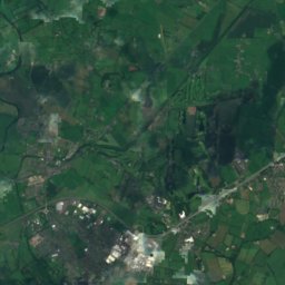
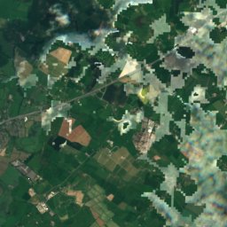
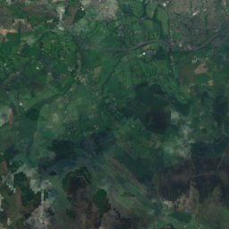
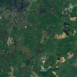
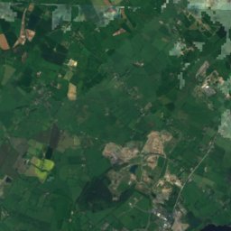
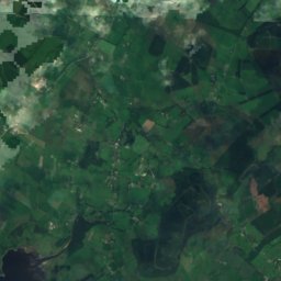
Satellite: Sentinel-2 cloudless 2016 by EOX IT Services GmbH · CC BY 4.0 · Contains modified Copernicus Sentinel data 2016

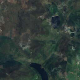
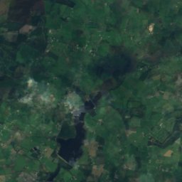
Satellite: Sentinel-2 cloudless 2016 by EOX IT Services GmbH · CC BY 4.0 · Contains modified Copernicus Sentinel data 2016

Stay nearby
Towns close by


Around here
Ranelagh and around
Nature

Photo: © O'Dea at Wikimedia Commons, CC BY-SA 4.0 · CC BY-SA 4.0 · Wikimedia CommonsReport this photo · linked, not stored
River Poddle
River
Mountains


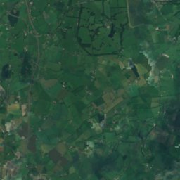
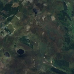
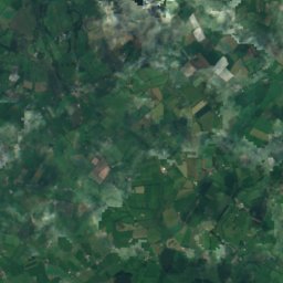
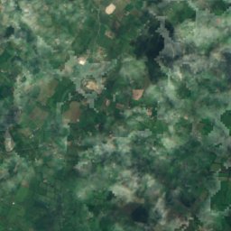
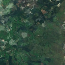
Satellite: Sentinel-2 cloudless 2016 by EOX IT Services GmbH · CC BY 4.0 · Contains modified Copernicus Sentinel data 2016
Camenabologue
758 m · Wicklow Mountains
Heritage

Photo: TheUltimateGenealogy · CC BY-SA 4.0 · Wikimedia CommonsReport this photo · linked, not stored
St. Sepulchre's Palace
National Inventory of Architectural Heritage database · 1170


Museums

Photo: Photograph by Mike Peel (www.mikepeel.net). · CC BY-SA 4.0 · Wikimedia CommonsReport this photo · linked, not stored
National Museum of Ireland
Military museum · 1877


Satellite: Sentinel-2 cloudless 2016 by EOX IT Services GmbH · CC BY 4.0 · Contains modified Copernicus Sentinel data 2016
National Museum of Ireland, Kildare Street
Military museum · 1890

Photo: Copyright © 2006 Kaihsu Tai · CC BY-SA 3.0 · Wikimedia CommonsReport this photo · linked, not stored

National Gallery of Ireland
Art museum · 1854