Nature
Waters, ice and wild places of Haiti
Lakes, waterfalls, glaciers, national parks and mountain huts, each with its location, its size and the weather of the towns around it.
Lakes6with a page
Waterfalls4with a page
National parks6with a page
Beaches1with a page

Lakes
Lakes of Haiti


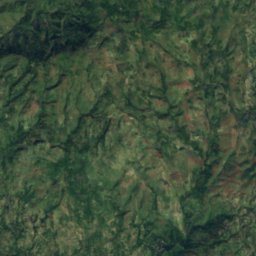
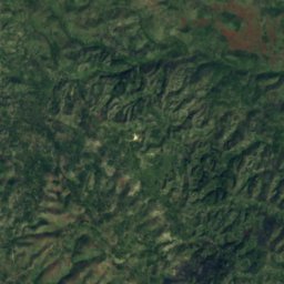
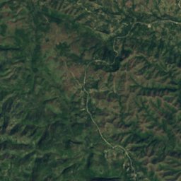
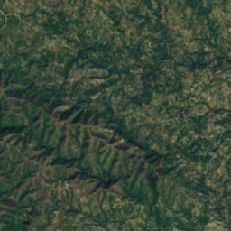
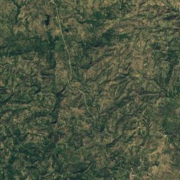
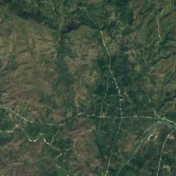
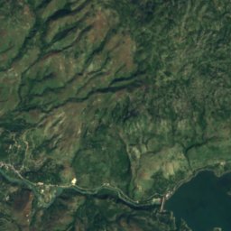
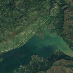
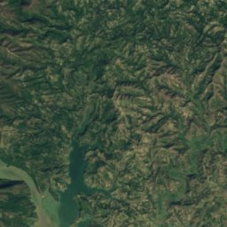
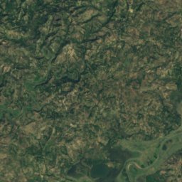
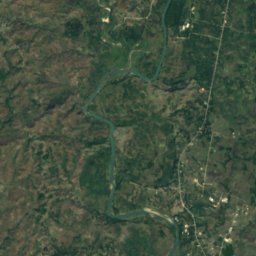
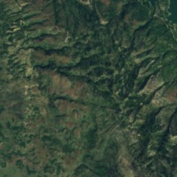
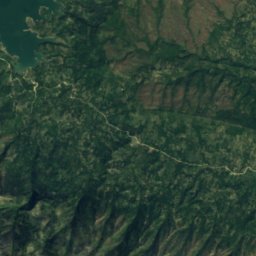
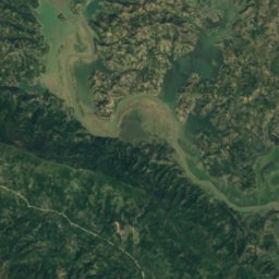
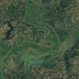
Satellite: Sentinel-2 cloudless 2016 by EOX IT Services GmbH · CC BY 4.0 · Contains modified Copernicus Sentinel data 2016
Lake Péligre
LasCahobas, Centre
48 km²
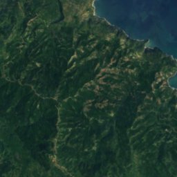
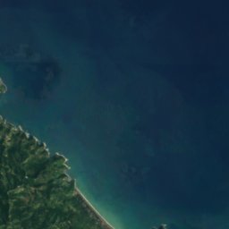



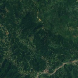
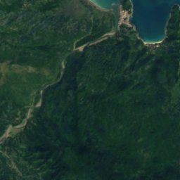
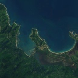
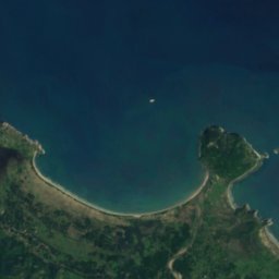
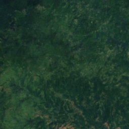
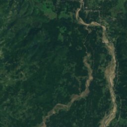
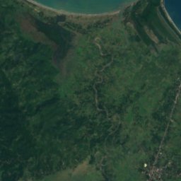
Satellite: Sentinel-2 cloudless 2016 by EOX IT Services GmbH · CC BY 4.0 · Contains modified Copernicus Sentinel data 2016
Embouchure Cabaret
Port-Margot, Nord
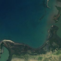
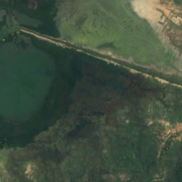
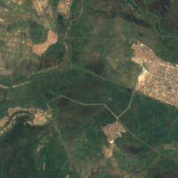
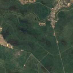
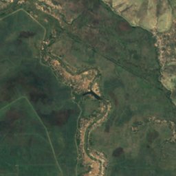
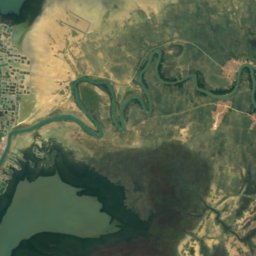
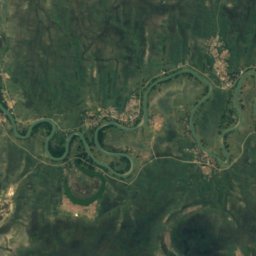
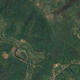
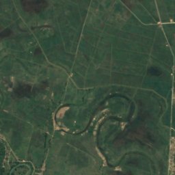
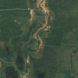
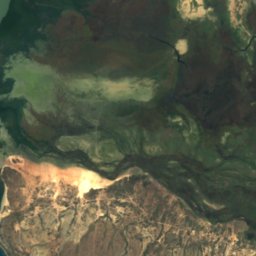
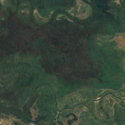
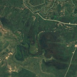
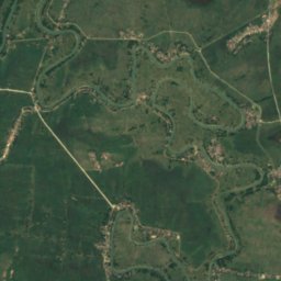
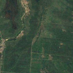
Satellite: Sentinel-2 cloudless 2016 by EOX IT Services GmbH · CC BY 4.0 · Contains modified Copernicus Sentinel data 2016
Lagon Pothenot
Desdunes, Artibonite
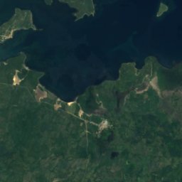
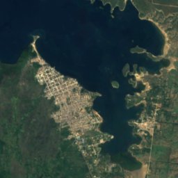
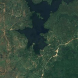
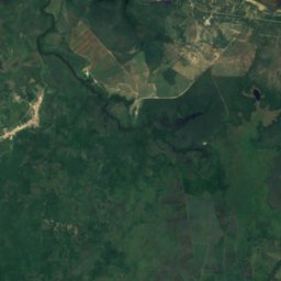
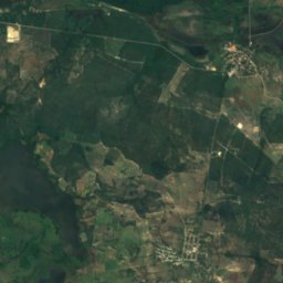
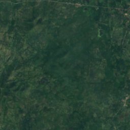
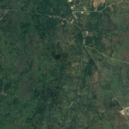
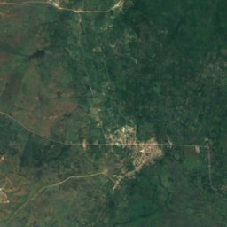
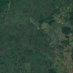
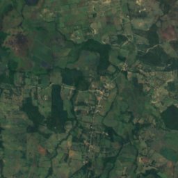
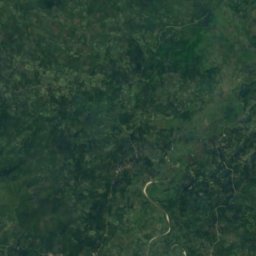
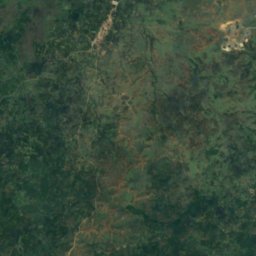
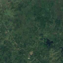
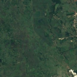
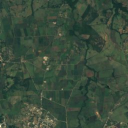
Satellite: Sentinel-2 cloudless 2016 by EOX IT Services GmbH · CC BY 4.0 · Contains modified Copernicus Sentinel data 2016
Lagon Robino
Ferrier, Nord-Est
Waterfalls
Waterfalls of Haiti


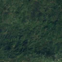
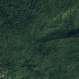
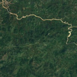
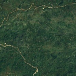
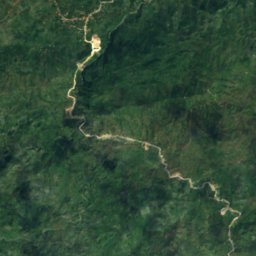
Satellite: Sentinel-2 cloudless 2016 by EOX IT Services GmbH · CC BY 4.0 · Contains modified Copernicus Sentinel data 2016
Saut-Mathurine
Maniche, Sud
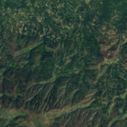
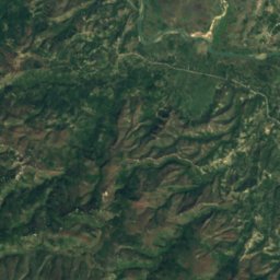
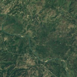
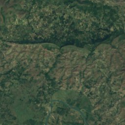
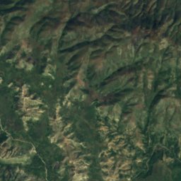
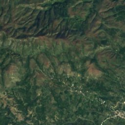
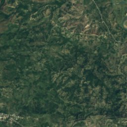
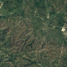
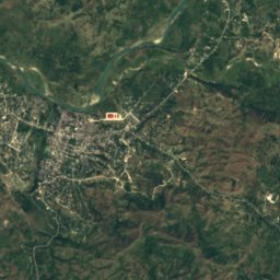
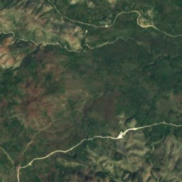
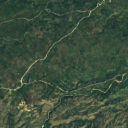
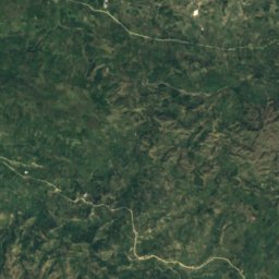
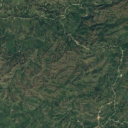
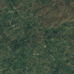
Satellite: Sentinel-2 cloudless 2016 by EOX IT Services GmbH · CC BY 4.0 · Contains modified Copernicus Sentinel data 2016
Ville Bonheur
Haut Saut d'Eau, Centre
National parks
National parks of Haiti


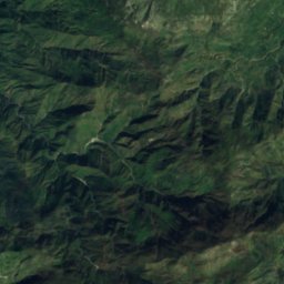
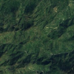
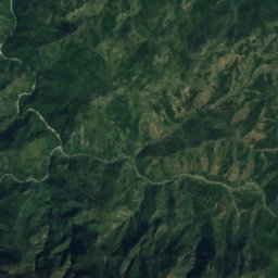
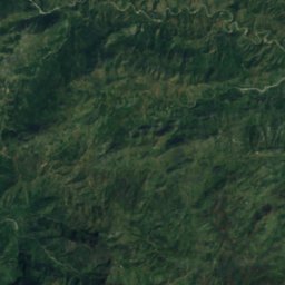
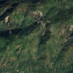
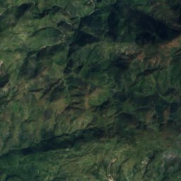
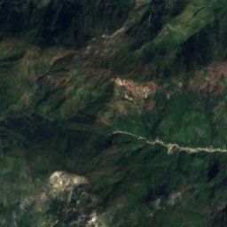
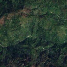
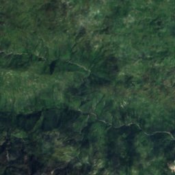
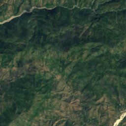
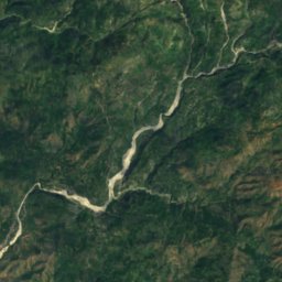
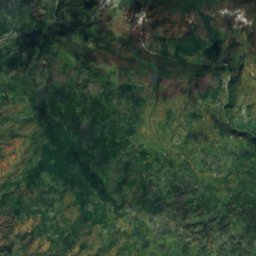
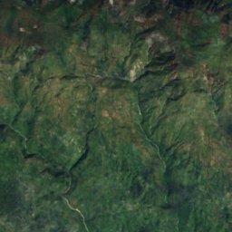
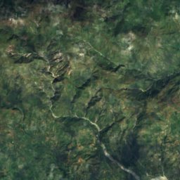
Satellite: Sentinel-2 cloudless 2016 by EOX IT Services GmbH · CC BY 4.0 · Contains modified Copernicus Sentinel data 2016
Pic Macaya National Park
Beaumont, Grand'Anse
20 km²
Beaches
Beaches of Haiti
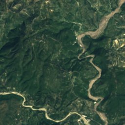
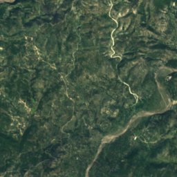
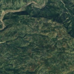
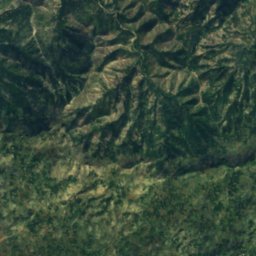
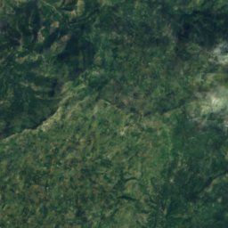
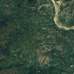
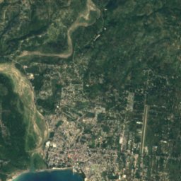
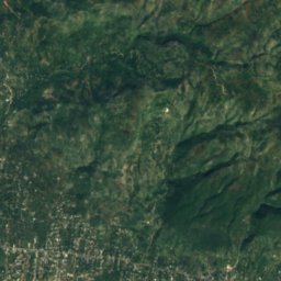
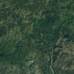
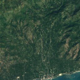
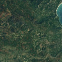
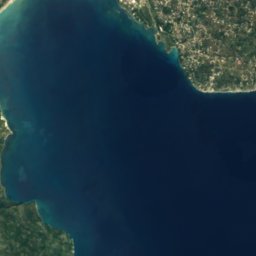
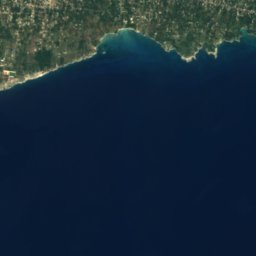
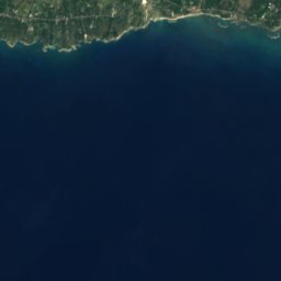
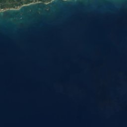
Satellite: Sentinel-2 cloudless 2016 by EOX IT Services GmbH · CC BY 4.0 · Contains modified Copernicus Sentinel data 2016
Cyvadier Beach
Jacmel, Sud-Est
Islands
Islands of Haiti







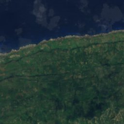
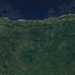
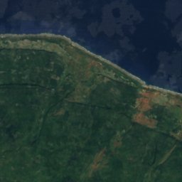
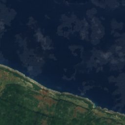
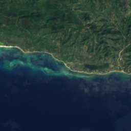
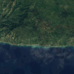
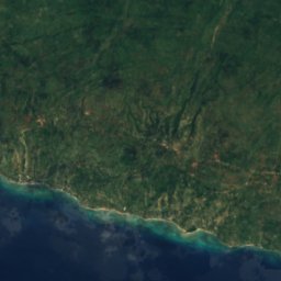
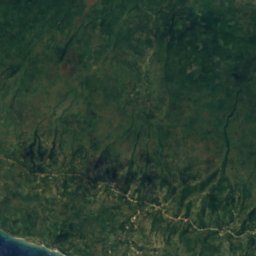
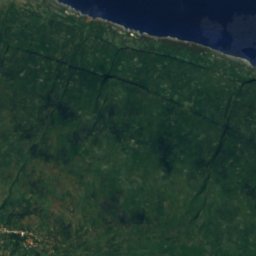
Satellite: Sentinel-2 cloudless 2016 by EOX IT Services GmbH · CC BY 4.0 · Contains modified Copernicus Sentinel data 2016
Tortuga
Port-de-Paix, Nord-Ouest
459 m
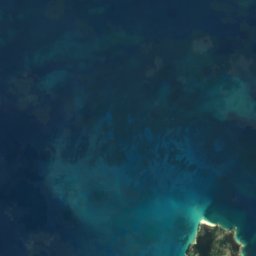
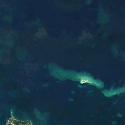
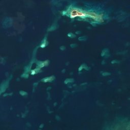
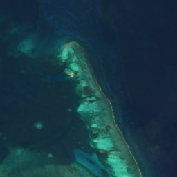

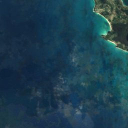
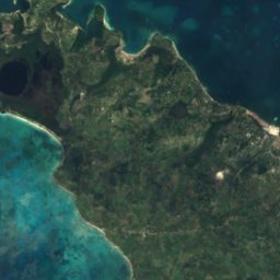
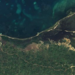
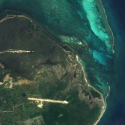



Satellite: Sentinel-2 cloudless 2016 by EOX IT Services GmbH · CC BY 4.0 · Contains modified Copernicus Sentinel data 2016
Île à Vache
Les Cayes, Sud
43 m
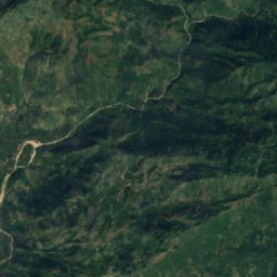
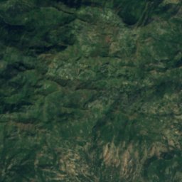
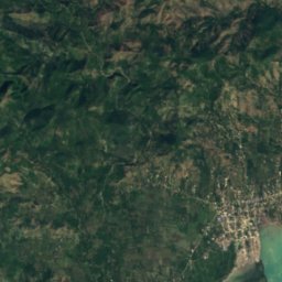
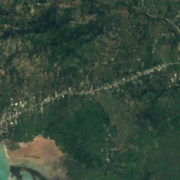
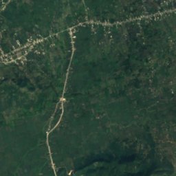
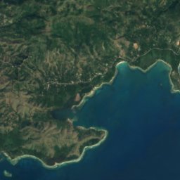
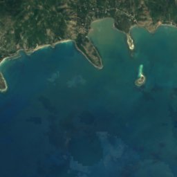
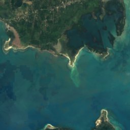
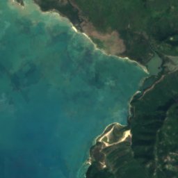
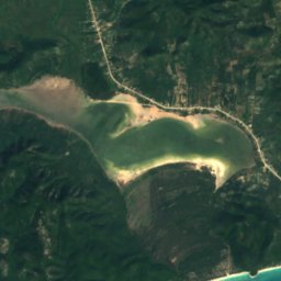
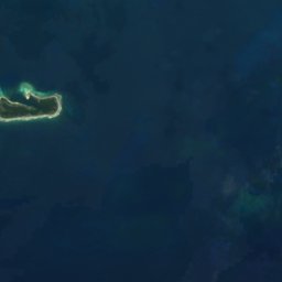
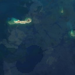
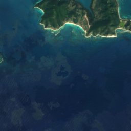
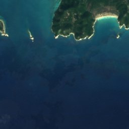
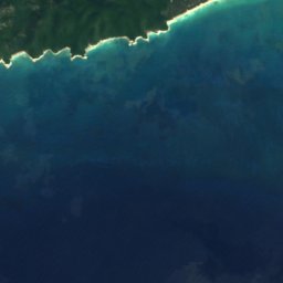
Satellite: Sentinel-2 cloudless 2016 by EOX IT Services GmbH · CC BY 4.0 · Contains modified Copernicus Sentinel data 2016
Grosse Caye
Aquin, Sud
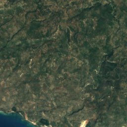
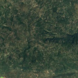
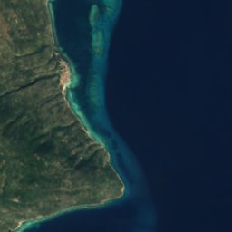


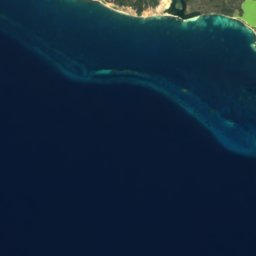
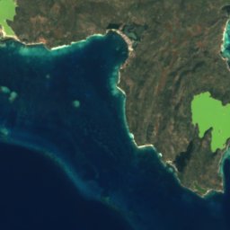
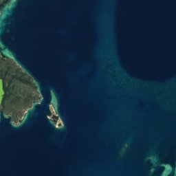





Satellite: Sentinel-2 cloudless 2016 by EOX IT Services GmbH · CC BY 4.0 · Contains modified Copernicus Sentinel data 2016
Caye Sable
Anse-à-Galets, Ouest
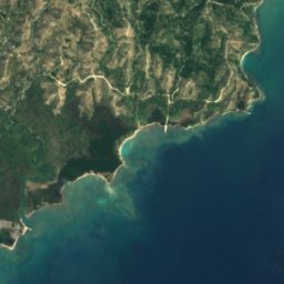
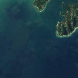
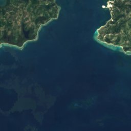
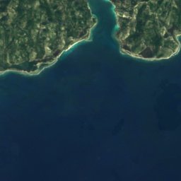
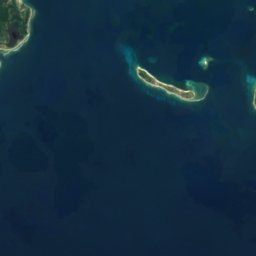





Satellite: Sentinel-2 cloudless 2016 by EOX IT Services GmbH · CC BY 4.0 · Contains modified Copernicus Sentinel data 2016
Ilet a Brouee
Saint-Louis-du-Sud, Sud





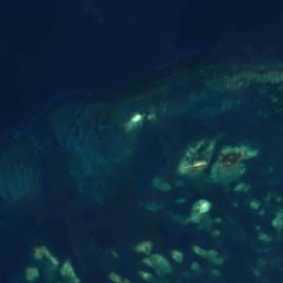
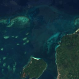
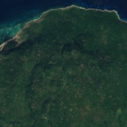
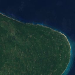

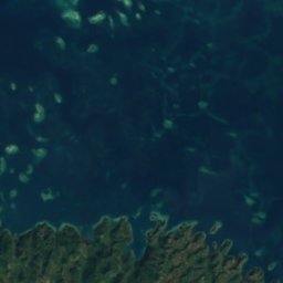
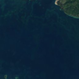
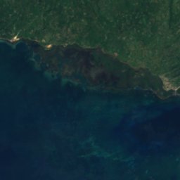
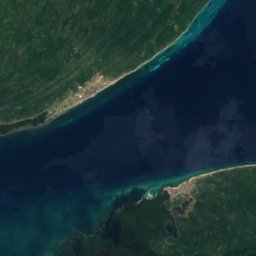
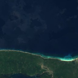
Satellite: Sentinel-2 cloudless 2016 by EOX IT Services GmbH · CC BY 4.0 · Contains modified Copernicus Sentinel data 2016
Grande Cayemite
Pestel, Grand'Anse
217 m



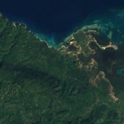
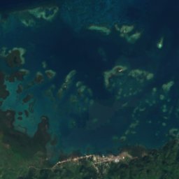
Satellite: Sentinel-2 cloudless 2016 by EOX IT Services GmbH · CC BY 4.0 · Contains modified Copernicus Sentinel data 2016
Petite Cayemite
Pestel, Grand'Anse
41 m
All 42 islands
- Arcadins Reefs
- Arenas
- Banc de l'Îlet de Sable
- Banc de Rochelois
- Banc Mella
- Caye Arena
- Caye Baice
- Caye de Normita
- Caye Grand Gosier
- Caye Orange
- Caye Ramier
- Caye Raquette
- Caye Rat
- Caye Sable
- Caye Salomon
- Cayemites
- Étron de Porc
- Gonâve Island
- Grammont Shoal
- Grand Récif
- Grande Caye
- Grande Cayemite
- Grosse Caye
- Haut-Fond Inginac
- Île à Rat
- Île à Vache
- Ilet a Brouee
- Isle Cacique
- Islote Manga de Yagua
- La Taigneuse
- Le Belier
- Le Grande Mouton
- Le Petit Mouton
- Les Pirogues
- Mardi Gras Reef
- Petite Cayemite
- Récif Veille
- Récifs du Kansas
- Roche Vandalia
- Ti Orange
- Tortuga
- Vialet
Caves
Caves of Haiti
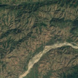
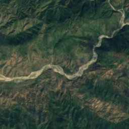
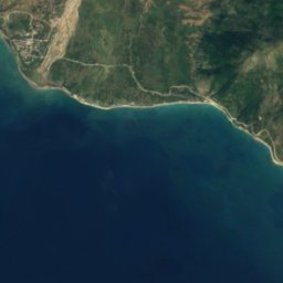
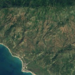
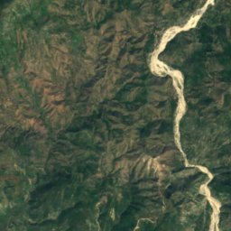
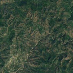
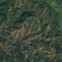

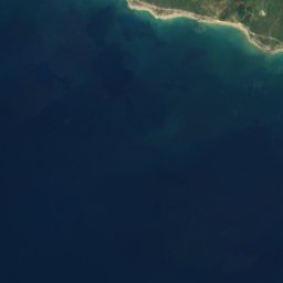
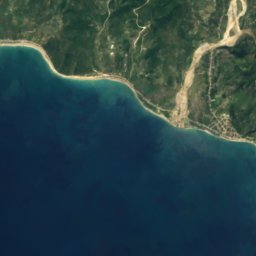
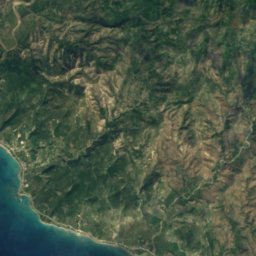
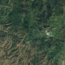
Satellite: Sentinel-2 cloudless 2016 by EOX IT Services GmbH · CC BY 4.0 · Contains modified Copernicus Sentinel data 2016
Marie-Jeanne cave
Port-à-Piment, Sud
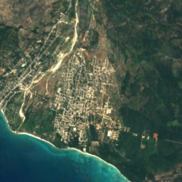
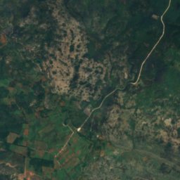
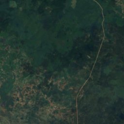
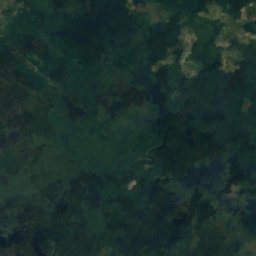
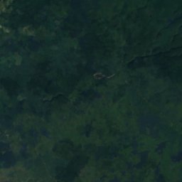
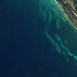
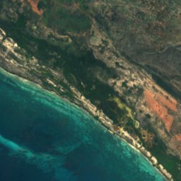
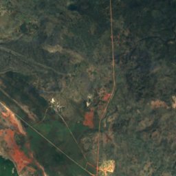

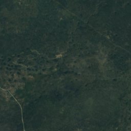
Satellite: Sentinel-2 cloudless 2016 by EOX IT Services GmbH · CC BY 4.0 · Contains modified Copernicus Sentinel data 2016
Cueva Pozo del Negro
Anse-à-Pitres, Sud-Est
27 m
Satellite: Sentinel-2 cloudless 2016 by EOX IT Services GmbH · CC BY 4.0 · Contains modified Copernicus Sentinel data 2016
Cueva Puente Sarnave
Anse-à-Pitres, Sud-Est
12 m


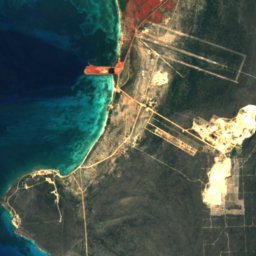
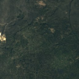
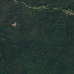


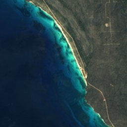


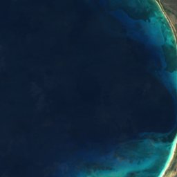
Satellite: Sentinel-2 cloudless 2016 by EOX IT Services GmbH · CC BY 4.0 · Contains modified Copernicus Sentinel data 2016
Cueva de Abajo
Anse-à-Pitres, Sud-Est
36 m
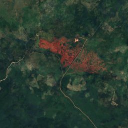
Satellite: Sentinel-2 cloudless 2016 by EOX IT Services GmbH · CC BY 4.0 · Contains modified Copernicus Sentinel data 2016
Cueva de las Caritas
Anse-à-Pitres, Sud-Est
176 m
Rivers
Rivers of Haiti

Photo: Kendra Helmer, USAID · Public domain · Wikimedia CommonsReport this photo · linked, not stored
Artibonite River
Grande Saline, Artibonite




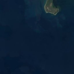
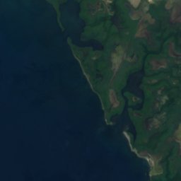
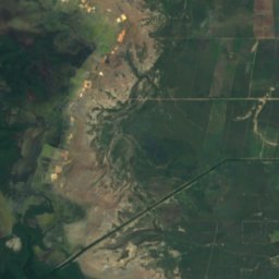
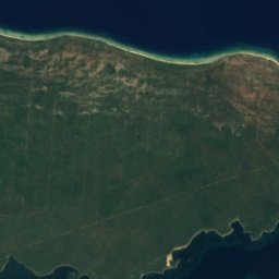
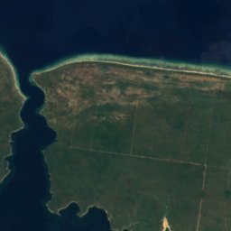
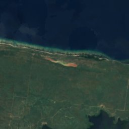
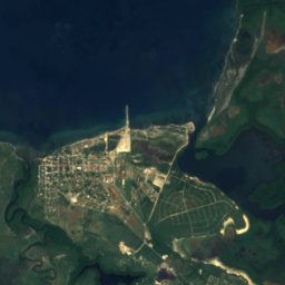
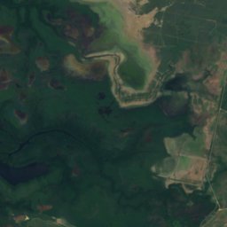
Satellite: Sentinel-2 cloudless 2016 by EOX IT Services GmbH · CC BY 4.0 · Contains modified Copernicus Sentinel data 2016
Dajabón River
Fort-Liberté, Nord-Est
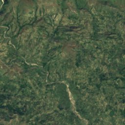
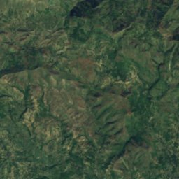
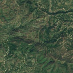
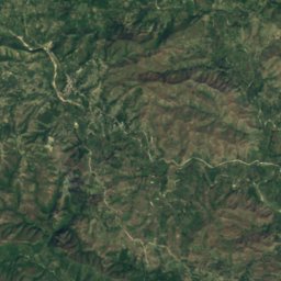
Satellite: Sentinel-2 cloudless 2016 by EOX IT Services GmbH · CC BY 4.0 · Contains modified Copernicus Sentinel data 2016
Rivière de l’Estère
Mirebalais, Centre
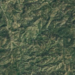
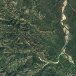
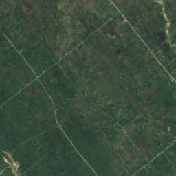
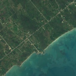
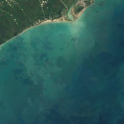
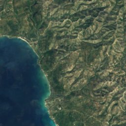
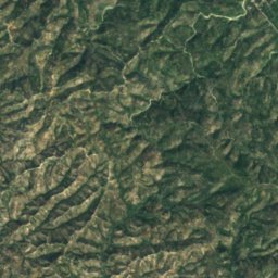
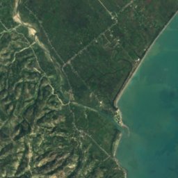

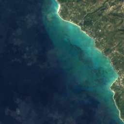
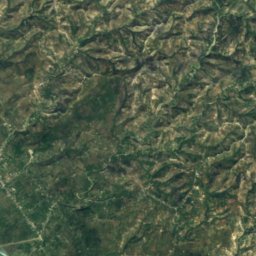
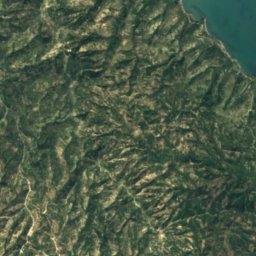
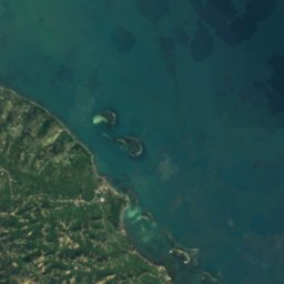

Satellite: Sentinel-2 cloudless 2016 by EOX IT Services GmbH · CC BY 4.0 · Contains modified Copernicus Sentinel data 2016
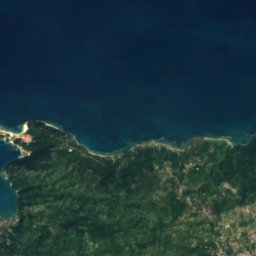
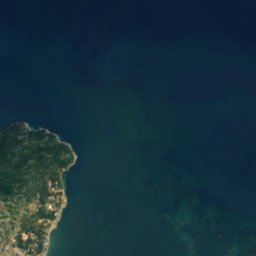
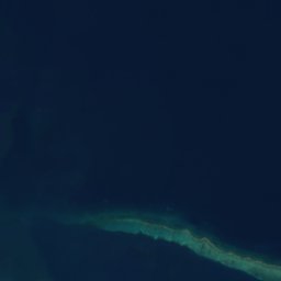
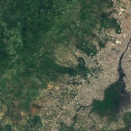
Acul River
Saint-Jean-du-Sud, Sud







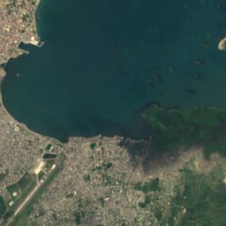
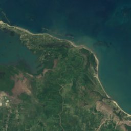
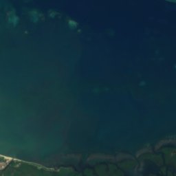
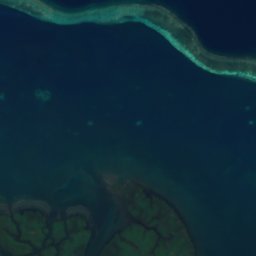
Satellite: Sentinel-2 cloudless 2016 by EOX IT Services GmbH · CC BY 4.0 · Contains modified Copernicus Sentinel data 2016
Grande Rivière du Nord
Quartier-Morin, Nord







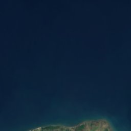


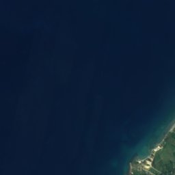
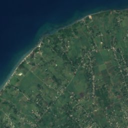
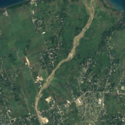
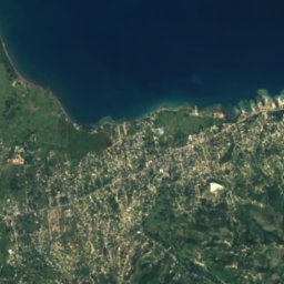
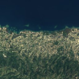
Satellite: Sentinel-2 cloudless 2016 by EOX IT Services GmbH · CC BY 4.0 · Contains modified Copernicus Sentinel data 2016
Momance River
Gressier, Ouest
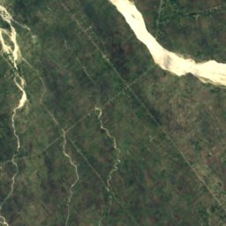
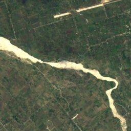
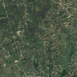
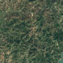
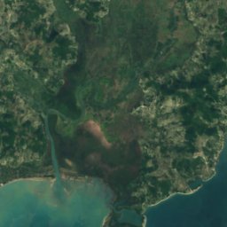
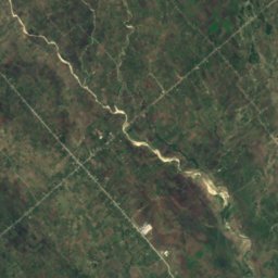
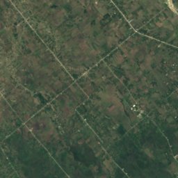
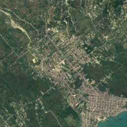


Satellite: Sentinel-2 cloudless 2016 by EOX IT Services GmbH · CC BY 4.0 · Contains modified Copernicus Sentinel data 2016
Ravine du Sud River
Les Cayes, Sud
All 29 rivers
- Acul River
- Artibonite River
- Dajabón River
- Grand Rivière de Jacmel
- Grand Rivière de Nippes
- Grande Rivière du Nord
- Grande-Anse River
- Guayamouc River
- La Quinte River
- Les Trois Rivières
- Libón River
- Momance River
- Pedernales River
- Petite Rivière de Jacmel
- Ravine du Sud River
- Rivière Blanche, Artibonite
- Rivière Blanche, Ouest
- Rivière Bouyaha
- Rivière Canot
- Rivière de Bainet
- Rivière de Cavaillon
- Rivière de Fer à Cheval
- Rivière de Grand Goâve
- Rivière de l’Estère
- Rivière de Saint-Marc
- Rivière des Côtes de Fer
- Rivière du Limbé
- Rivière Grise
- Rivière Montrouis