自然
ハイチの水辺、氷河、原野
湖、滝、氷河、国立公園、山小屋。それぞれの場所、規模、周辺の天気を掲載。
湖6か所(個別ページあり)
滝4か所(個別ページあり)
国立公園6か所(個別ページあり)
ビーチ1か所(個別ページあり)

湖
ハイチの湖


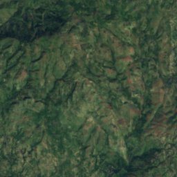
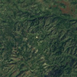
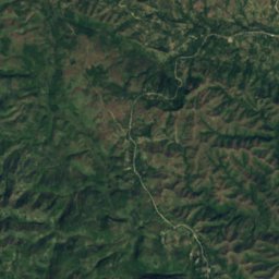
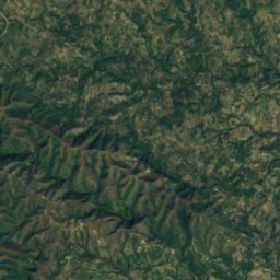
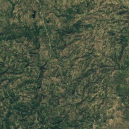
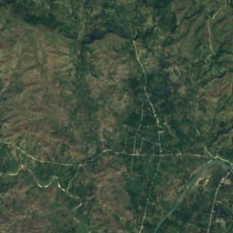
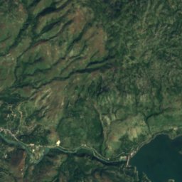
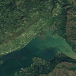
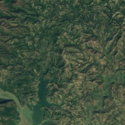
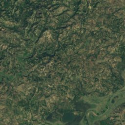
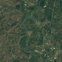
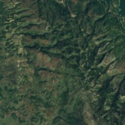
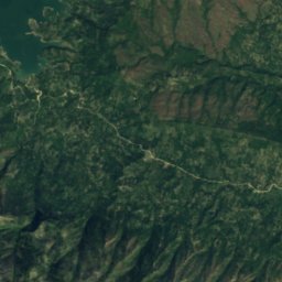
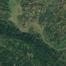
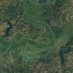
衛星: Sentinel-2 cloudless 2016(EOX IT Services GmbH) · CC BY 4.0 · 改変したCopernicus Sentinelデータ(2016年)を含みます
Lake Péligre
LasCahobas, Centre
48 km²
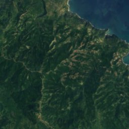
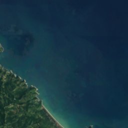



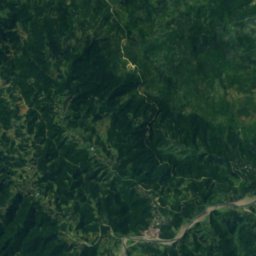
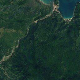
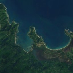
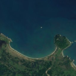
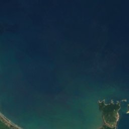
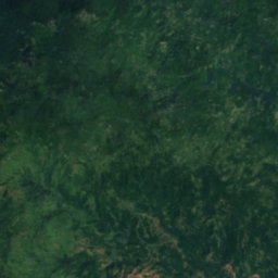
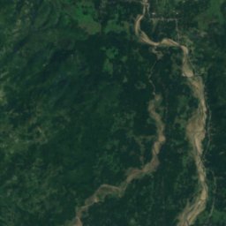
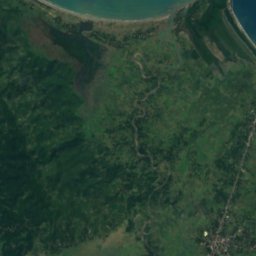
衛星: Sentinel-2 cloudless 2016(EOX IT Services GmbH) · CC BY 4.0 · 改変したCopernicus Sentinelデータ(2016年)を含みます
Embouchure Cabaret
Port-Margot, Nord
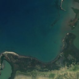
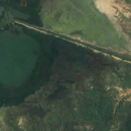
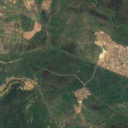
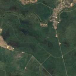
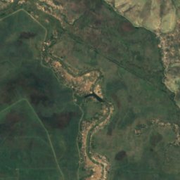
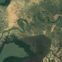
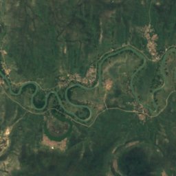
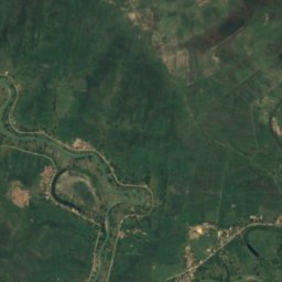
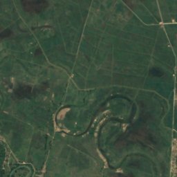
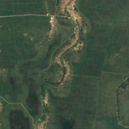
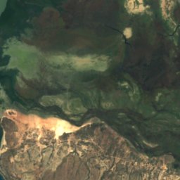
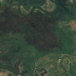
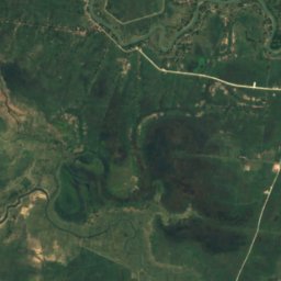
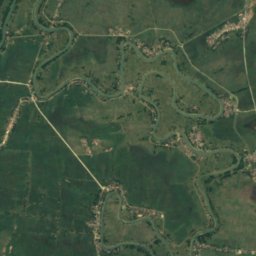
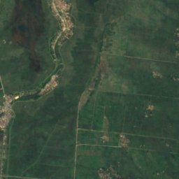
衛星: Sentinel-2 cloudless 2016(EOX IT Services GmbH) · CC BY 4.0 · 改変したCopernicus Sentinelデータ(2016年)を含みます
Lagon Pothenot
Desdunes, Artibonite
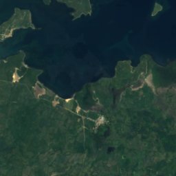
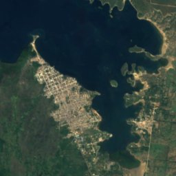
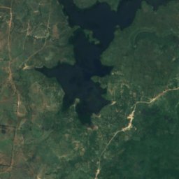
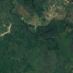
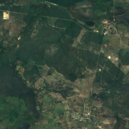
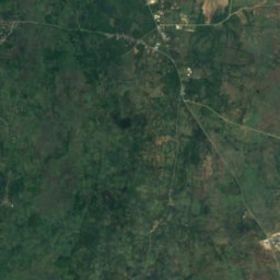
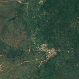
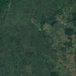
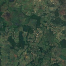
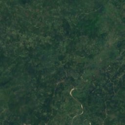
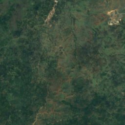
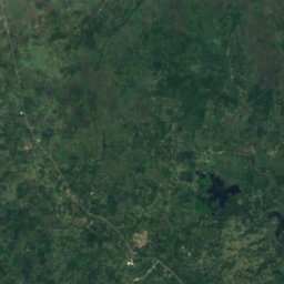
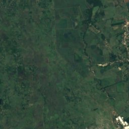
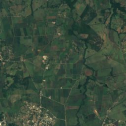
衛星: Sentinel-2 cloudless 2016(EOX IT Services GmbH) · CC BY 4.0 · 改変したCopernicus Sentinelデータ(2016年)を含みます
Lagon Robino
Ferrier, Nord-Est
滝
ハイチの滝


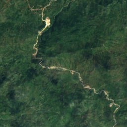
衛星: Sentinel-2 cloudless 2016(EOX IT Services GmbH) · CC BY 4.0 · 改変したCopernicus Sentinelデータ(2016年)を含みます
Saut-Mathurine
Maniche, Sud
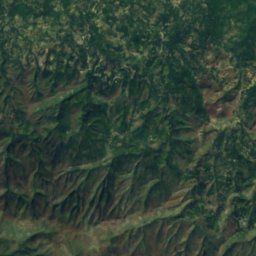
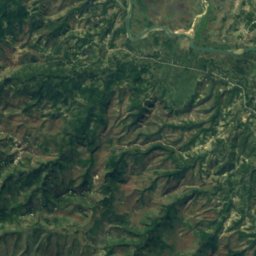
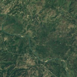
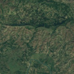
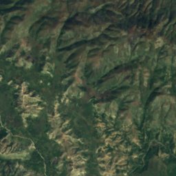
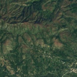
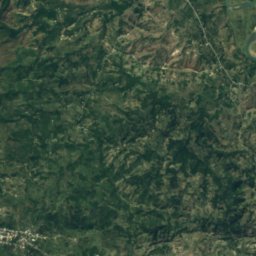
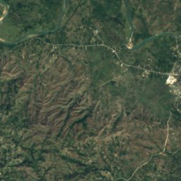
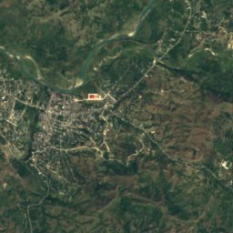
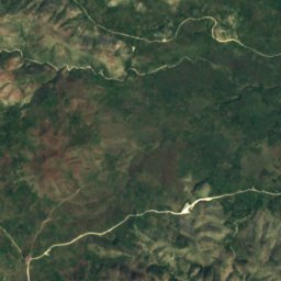
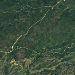
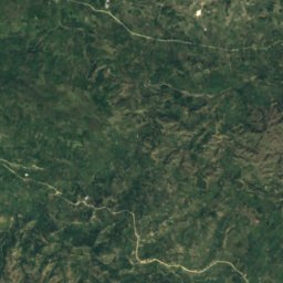
衛星: Sentinel-2 cloudless 2016(EOX IT Services GmbH) · CC BY 4.0 · 改変したCopernicus Sentinelデータ(2016年)を含みます
Ville Bonheur
Haut Saut d'Eau, Centre
国立公園
ハイチの国立公園


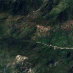
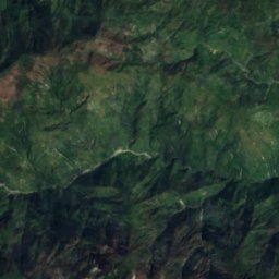
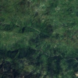
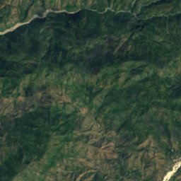
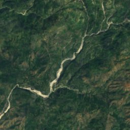
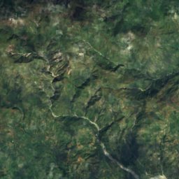
衛星: Sentinel-2 cloudless 2016(EOX IT Services GmbH) · CC BY 4.0 · 改変したCopernicus Sentinelデータ(2016年)を含みます
Pic Macaya National Park
Beaumont, Grand'Anse
20 km²
ビーチ
ハイチのビーチ
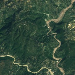
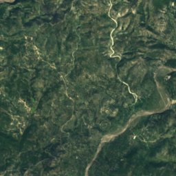
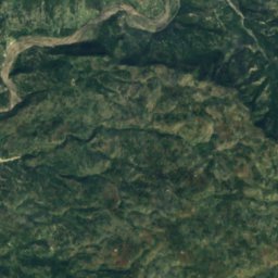
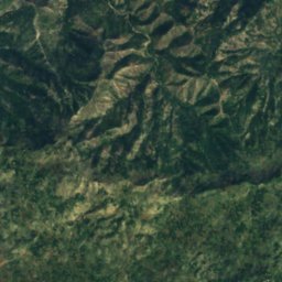
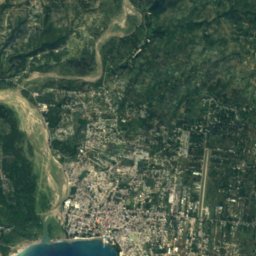
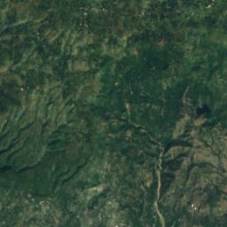
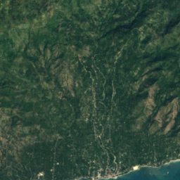
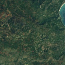
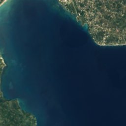
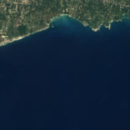
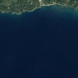
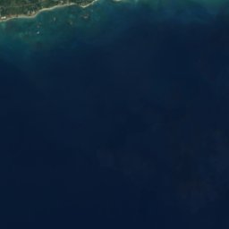
衛星: Sentinel-2 cloudless 2016(EOX IT Services GmbH) · CC BY 4.0 · 改変したCopernicus Sentinelデータ(2016年)を含みます
Cyvadier Beach
Jacmel, Sud-Est
島
ハイチの島







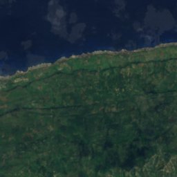
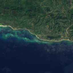
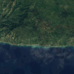
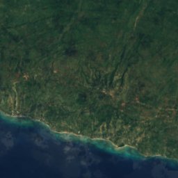
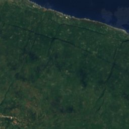
衛星: Sentinel-2 cloudless 2016(EOX IT Services GmbH) · CC BY 4.0 · 改変したCopernicus Sentinelデータ(2016年)を含みます
トルトゥーガ島
Port-de-Paix, Nord-Ouest
459 m
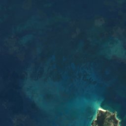
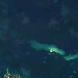
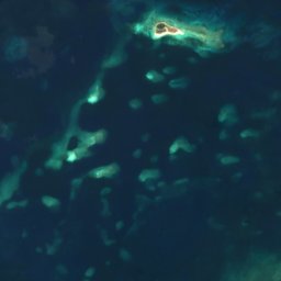
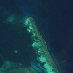

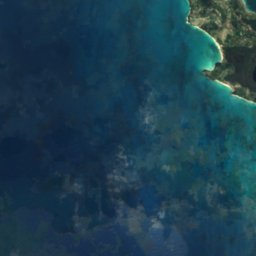
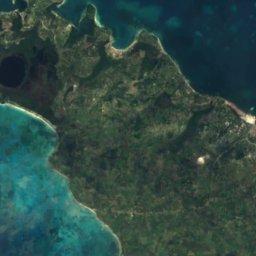
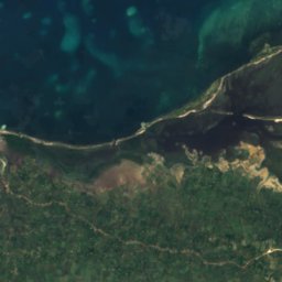
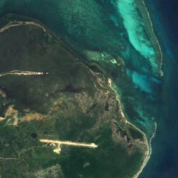



衛星: Sentinel-2 cloudless 2016(EOX IT Services GmbH) · CC BY 4.0 · 改変したCopernicus Sentinelデータ(2016年)を含みます
ヴァシュ島
Les Cayes, Sud
43 m
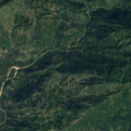
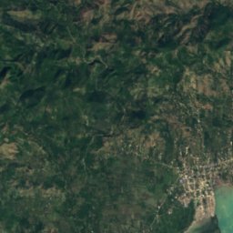
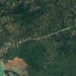
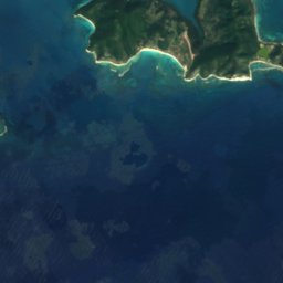
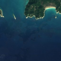
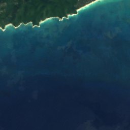
衛星: Sentinel-2 cloudless 2016(EOX IT Services GmbH) · CC BY 4.0 · 改変したCopernicus Sentinelデータ(2016年)を含みます
グロス・カイユ
Aquin, Sud
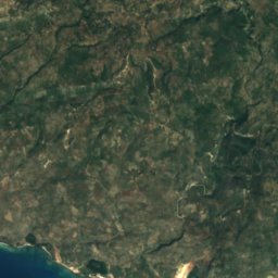
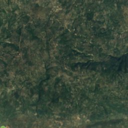
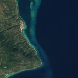


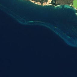
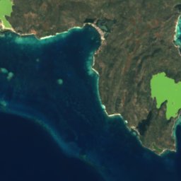
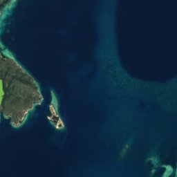





衛星: Sentinel-2 cloudless 2016(EOX IT Services GmbH) · CC BY 4.0 · 改変したCopernicus Sentinelデータ(2016年)を含みます
Caye Sable
Anse-à-Galets, Ouest
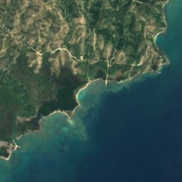
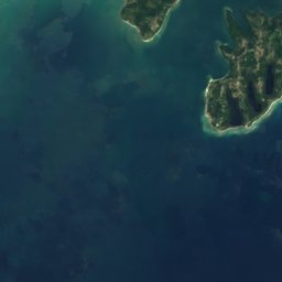
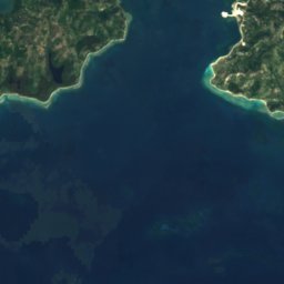
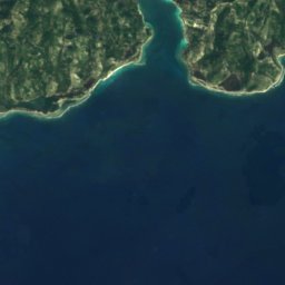
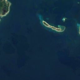





衛星: Sentinel-2 cloudless 2016(EOX IT Services GmbH) · CC BY 4.0 · 改変したCopernicus Sentinelデータ(2016年)を含みます
Ilet a Brouee
Saint-Louis-du-Sud, Sud





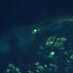
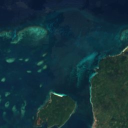
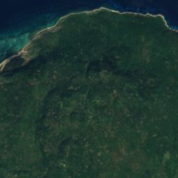
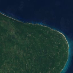

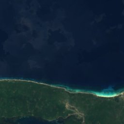
衛星: Sentinel-2 cloudless 2016(EOX IT Services GmbH) · CC BY 4.0 · 改変したCopernicus Sentinelデータ(2016年)を含みます
Grande Cayemite
Pestel, Grand'Anse
217 m



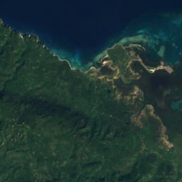
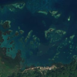
衛星: Sentinel-2 cloudless 2016(EOX IT Services GmbH) · CC BY 4.0 · 改変したCopernicus Sentinelデータ(2016年)を含みます
Petite Cayemite
Pestel, Grand'Anse
41 m
全リスト:島42か所
- Arcadins Reefs
- Arenas
- Banc de l'Îlet de Sable
- Banc de Rochelois
- Banc Mella
- Caye Arena
- Caye Baice
- Caye de Normita
- Caye Grand Gosier
- Caye Orange
- Caye Ramier
- Caye Raquette
- Caye Rat
- Caye Sable
- Caye Salomon
- Étron de Porc
- Grammont Shoal
- Grand Récif
- Grande Caye
- Grande Cayemite
- Haut-Fond Inginac
- Île à Rat
- Ilet a Brouee
- Isle Cacique
- Islote Manga de Yagua
- La Taigneuse
- Le Belier
- Le Grande Mouton
- Le Petit Mouton
- Les Pirogues
- Mardi Gras Reef
- Petite Cayemite
- Récif Veille
- Récifs du Kansas
- Roche Vandalia
- Ti Orange
- Vialet
- ヴァシュ島
- カイミート
- グロス・カイユ
- ゴナーブ島
- トルトゥーガ島
洞窟
ハイチの洞窟
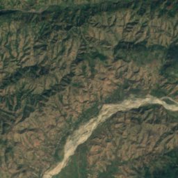
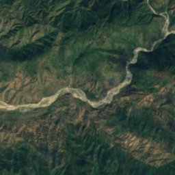
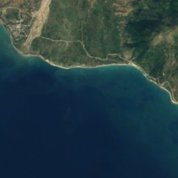
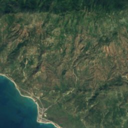
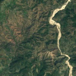
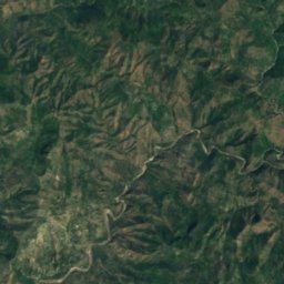
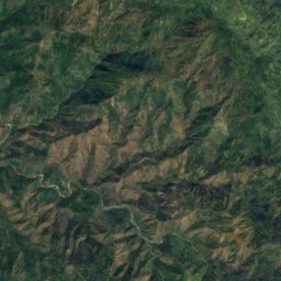

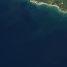
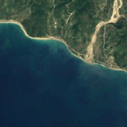
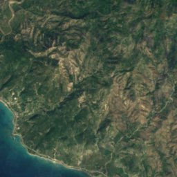
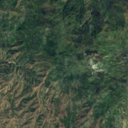
衛星: Sentinel-2 cloudless 2016(EOX IT Services GmbH) · CC BY 4.0 · 改変したCopernicus Sentinelデータ(2016年)を含みます
Marie-Jeanne cave
Port-à-Piment, Sud
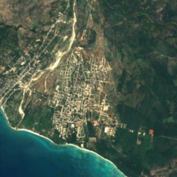
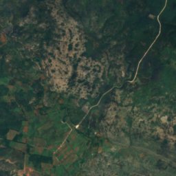
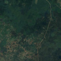
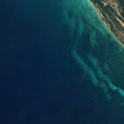
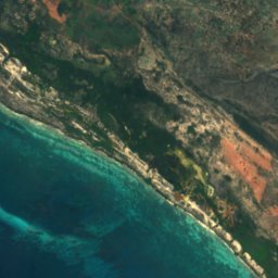
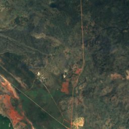

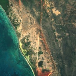
衛星: Sentinel-2 cloudless 2016(EOX IT Services GmbH) · CC BY 4.0 · 改変したCopernicus Sentinelデータ(2016年)を含みます
Cueva Pozo del Negro
Anse-à-Pitres, Sud-Est
27 m
衛星: Sentinel-2 cloudless 2016(EOX IT Services GmbH) · CC BY 4.0 · 改変したCopernicus Sentinelデータ(2016年)を含みます
Cueva Puente Sarnave
Anse-à-Pitres, Sud-Est
12 m


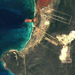




衛星: Sentinel-2 cloudless 2016(EOX IT Services GmbH) · CC BY 4.0 · 改変したCopernicus Sentinelデータ(2016年)を含みます
Cueva de Abajo
Anse-à-Pitres, Sud-Est
36 m
衛星: Sentinel-2 cloudless 2016(EOX IT Services GmbH) · CC BY 4.0 · 改変したCopernicus Sentinelデータ(2016年)を含みます
Cueva de las Caritas
Anse-à-Pitres, Sud-Est
176 m
川
ハイチの川




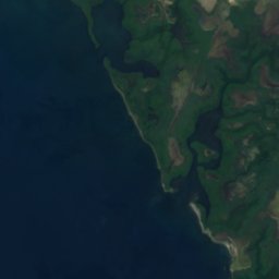
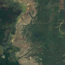
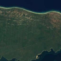
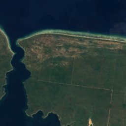
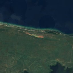
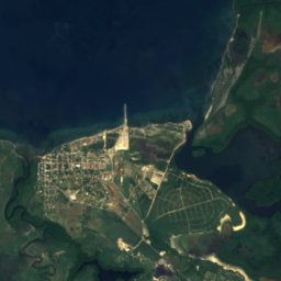
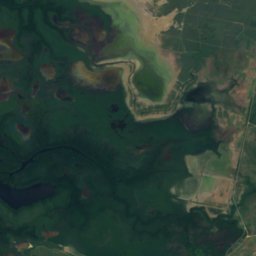
衛星: Sentinel-2 cloudless 2016(EOX IT Services GmbH) · CC BY 4.0 · 改変したCopernicus Sentinelデータ(2016年)を含みます
ダハボン川
Fort-Liberté, Nord-Est
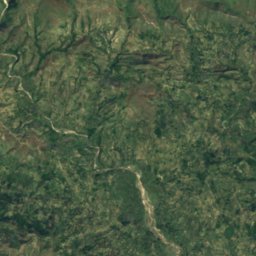
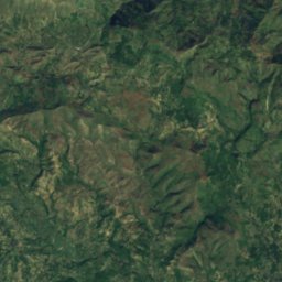
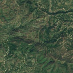
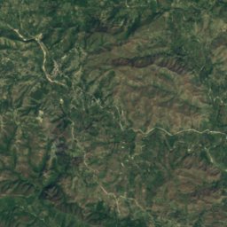
衛星: Sentinel-2 cloudless 2016(EOX IT Services GmbH) · CC BY 4.0 · 改変したCopernicus Sentinelデータ(2016年)を含みます
Rivière de l’Estère
Mirebalais, Centre
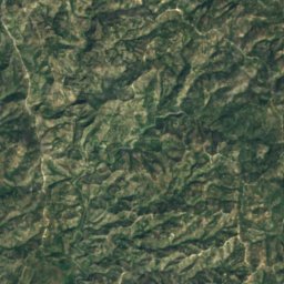
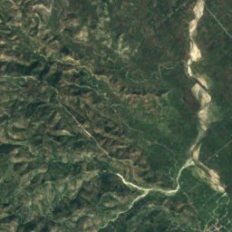
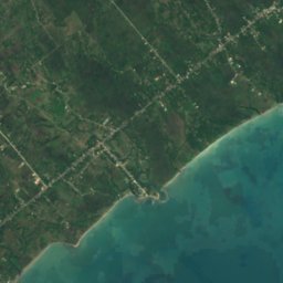
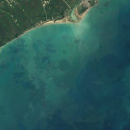
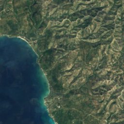
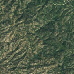
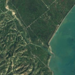


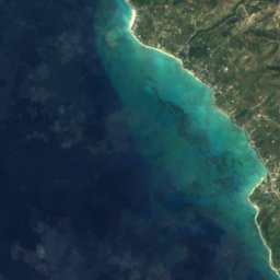
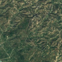
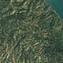
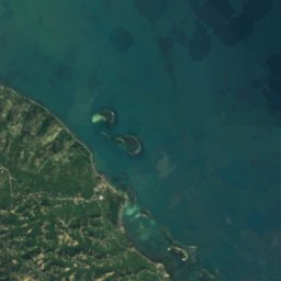

衛星: Sentinel-2 cloudless 2016(EOX IT Services GmbH) · CC BY 4.0 · 改変したCopernicus Sentinelデータ(2016年)を含みます
Acul River
Saint-Jean-du-Sud, Sud





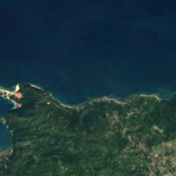
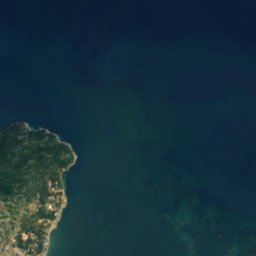


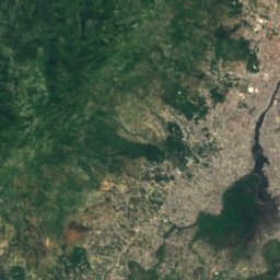
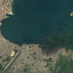
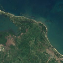
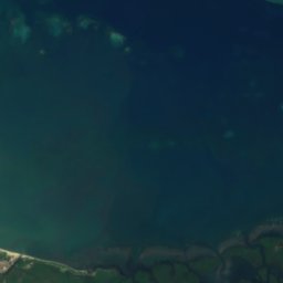
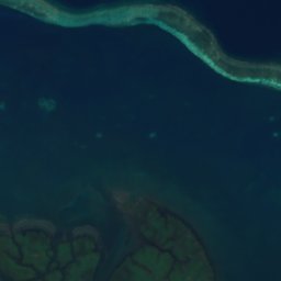
衛星: Sentinel-2 cloudless 2016(EOX IT Services GmbH) · CC BY 4.0 · 改変したCopernicus Sentinelデータ(2016年)を含みます
Grande Rivière du Nord
Quartier-Morin, Nord







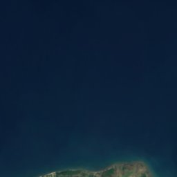


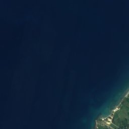
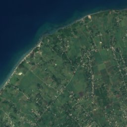
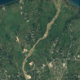
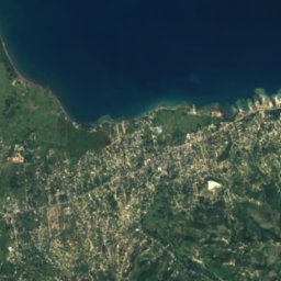
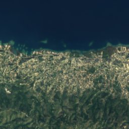
衛星: Sentinel-2 cloudless 2016(EOX IT Services GmbH) · CC BY 4.0 · 改変したCopernicus Sentinelデータ(2016年)を含みます
Momance River
Gressier, Ouest
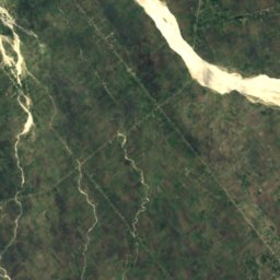
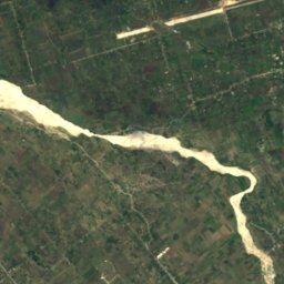
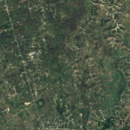
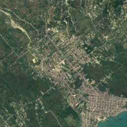


衛星: Sentinel-2 cloudless 2016(EOX IT Services GmbH) · CC BY 4.0 · 改変したCopernicus Sentinelデータ(2016年)を含みます
Ravine du Sud River
Les Cayes, Sud
全リスト:川29か所
- Acul River
- Grand Rivière de Jacmel
- Grand Rivière de Nippes
- Grande Rivière du Nord
- Grande-Anse River
- Guayamouc River
- La Quinte River
- Les Trois Rivières
- Libón River
- Momance River
- Petite Rivière de Jacmel
- Ravine du Sud River
- Rivière Blanche, Artibonite
- Rivière Blanche, Ouest
- Rivière Bouyaha
- Rivière Canot
- Rivière de Bainet
- Rivière de Cavaillon
- Rivière de Fer à Cheval
- Rivière de Grand Goâve
- Rivière de l’Estère
- Rivière de Saint-Marc
- Rivière des Côtes de Fer
- Rivière du Limbé
- Rivière Grise
- Rivière Montrouis
- アルティボニット川
- ダハボン川
- ペデルナレス川