
Photo: Aboubacarkhoraa · CC BY-SA 4.0 · Wikimedia Commons
Plage de BénarèsReport this photo · linked, not stored
Plage de BénarèsReport this photo · linked, not stored

Photo: Falilou224 · CC BY-SA 4.0 · Wikimedia Commons
Lambanyi BeachReport this photo · linked, not stored
Lambanyi BeachLambanyi BeachReport this photo · linked, not stored

Photo: Tiguidanké Diallo · CC0 · Wikimedia Commons
Lake SonfoniaReport this photo · linked, not stored
Lake SonfoniaLake SonfoniaReport this photo · linked, not stored

Photo: Aboubacarkhoraa · CC BY-SA 4.0 · Wikimedia Commons
Tayaki BeachReport this photo · linked, not stored
Tayaki BeachTayaki BeachReport this photo · linked, not stored

Photo: Abdoulrahamane 99MDS Barry · CC BY-SA 4.0 · Wikimedia Commons
beachReport this photo · linked, not stored
beachbeachReport this photo · linked, not stored
BeachConakry, Conakry
Plage de Bénarès
BeachBest Jan–Mar
Elevation–above sea level
Sea, warmest29°CNovember
Nearest townConakry8.7 km
9.57° N, 13.61° WUTC+0 · Greenwich Mean Time
When to goConakry · weather score
Best timeJan–Mar
October: high / low28° / 25°
Beach
Plage de Bénarès in brief
Plage de Bénarès is a beach in Conakry, Guinea.
The nearest town in the atlas is Conakry, 8.7 km to the SW, where the weather is best in January, February and March.
The sea is warmest in November, at about 29°C.
Weather nearby now
Forecast for Conakry28°
Partly cloudy now
Today
22 Oct
29°
26°
2 mm
Fri
23 Oct
29°
26°
6 mm
Sat
24 Oct
29°
28°
3 mm
Sun
25 Oct
29°
28°
2 mm
Mon
26 Oct
29°
28°
5 mm
Model run 00:00 UTCRefreshed several times a day
Sea and air through the year
Sea surface temperature off the coast and the average daily high in Conakry, month by month.Jan28°28°
Feb27°27°
Mar27°27°
Apr28°27°
May28°28°
Jun28°27°
Jul28°27°
Aug27°26°
Sep28°27°
Oct28°28°
Nov29°28°
Dec29°28°
seaair, daily high
Map
Plage de Bénarès from above
Nature nearbyAll of Guinea



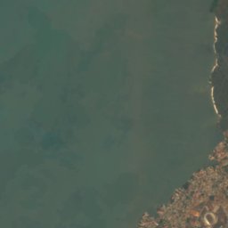



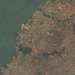


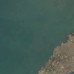
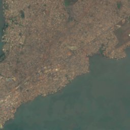
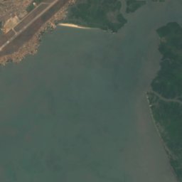
Satellite: Sentinel-2 cloudless 2016 by EOX IT Services GmbH · CC BY 4.0 · Contains modified Copernicus Sentinel data 2016



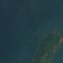
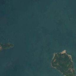
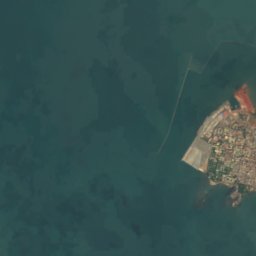
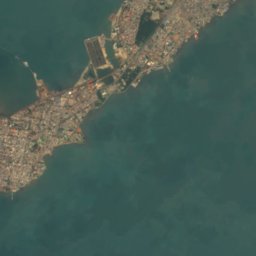

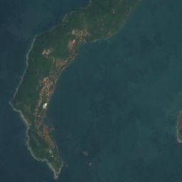
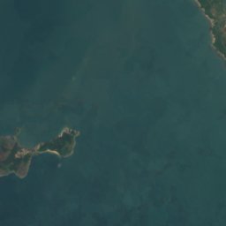
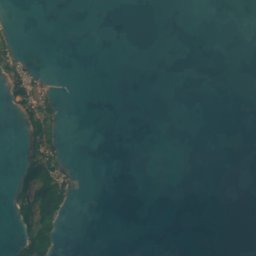


Satellite: Sentinel-2 cloudless 2016 by EOX IT Services GmbH · CC BY 4.0 · Contains modified Copernicus Sentinel data 2016


Photo: Abdoulrahamane 99MDS Barry · CC BY-SA 4.0 · Wikimedia CommonsReport this photo · linked, not stored


Around here
Conakry and around
Nature
Satellite: Sentinel-2 cloudless 2016 by EOX IT Services GmbH · CC BY 4.0 · Contains modified Copernicus Sentinel data 2016
Kakimbo cave
Cave
Satellite: Sentinel-2 cloudless 2016 by EOX IT Services GmbH · CC BY 4.0 · Contains modified Copernicus Sentinel data 2016
Tombo Island
Island


