Nature
Waters, ice and wild places of Guinea
Lakes, waterfalls, glaciers, national parks and mountain huts, each with its location, its size and the weather of the towns around it.
Lakes12with a page
Waterfalls3with a page
National parks1with a page
Beaches7with a page

Lakes
Lakes of Guinea


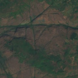
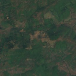
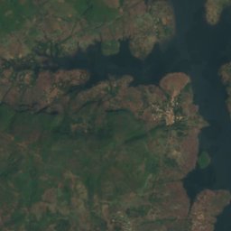
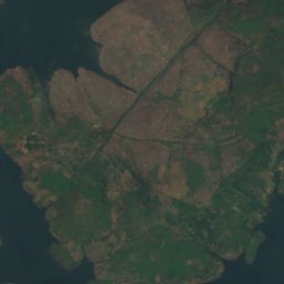
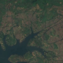
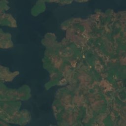
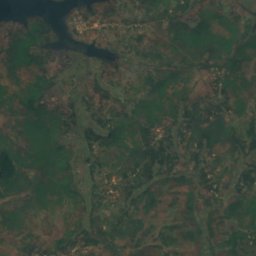
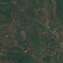
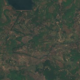
Satellite: Sentinel-2 cloudless 2016 by EOX IT Services GmbH · CC BY 4.0 · Contains modified Copernicus Sentinel data 2016
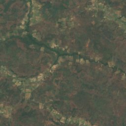
Baneah Reservoir
Kindia, Kindia
79 km²
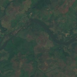
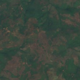
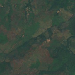
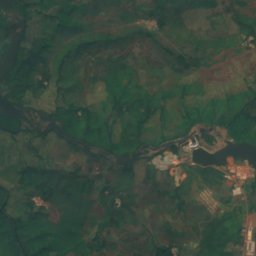
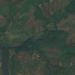
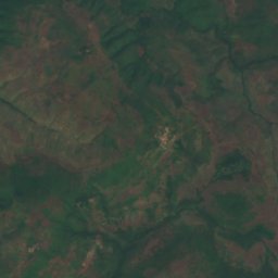
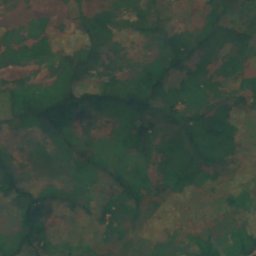
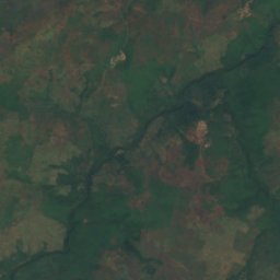
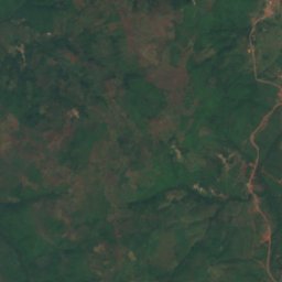
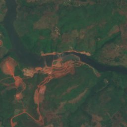
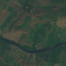
Satellite: Sentinel-2 cloudless 2016 by EOX IT Services GmbH · CC BY 4.0 · Contains modified Copernicus Sentinel data 2016
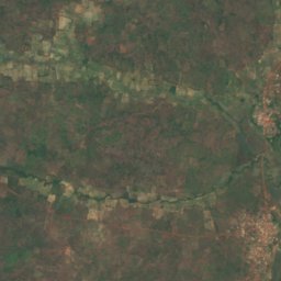
Kaléta Reservoir
Tondon, Kindia
2.8 km²
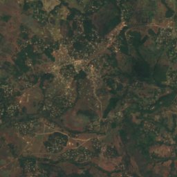
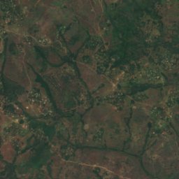
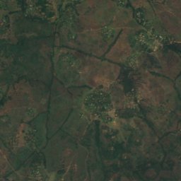
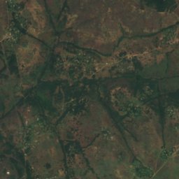
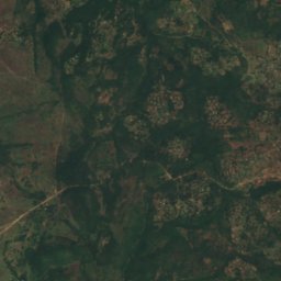
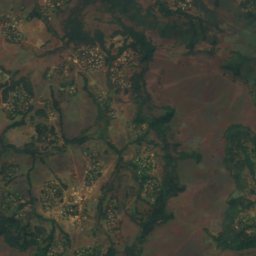
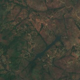
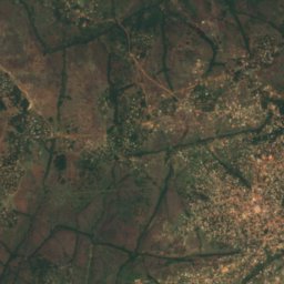
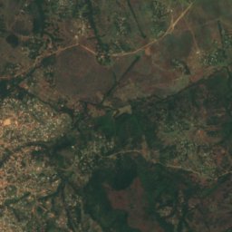
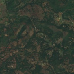
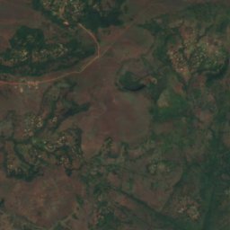
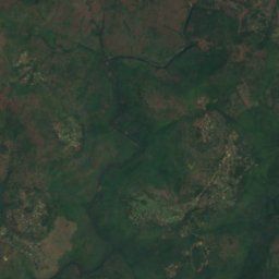
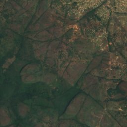
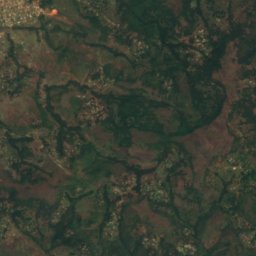
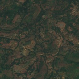
Satellite: Sentinel-2 cloudless 2016 by EOX IT Services GmbH · CC BY 4.0 · Contains modified Copernicus Sentinel data 2016
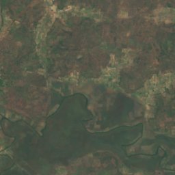
Oustoya Reservoir
Timbi-Madina, Mamou Region
0.0 km²
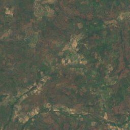
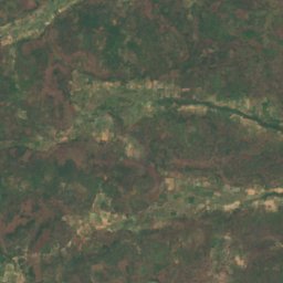
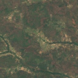
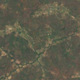
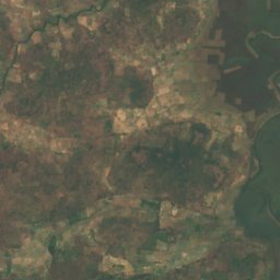
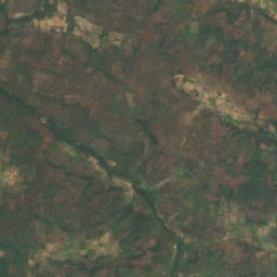
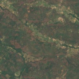
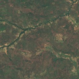
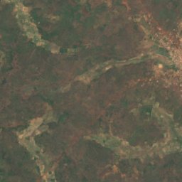
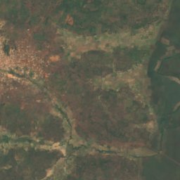
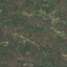
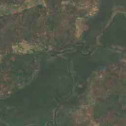
Satellite: Sentinel-2 cloudless 2016 by EOX IT Services GmbH · CC BY 4.0 · Contains modified Copernicus Sentinel data 2016
Fenko
Kéniéran, Kankan Region
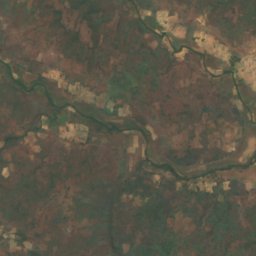
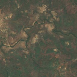
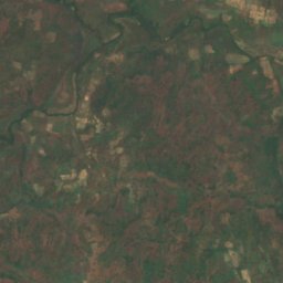
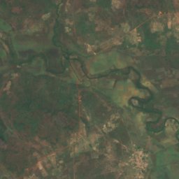
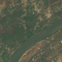
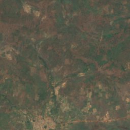
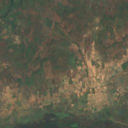
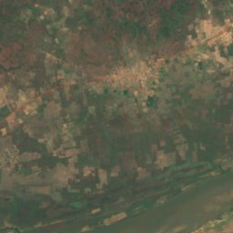
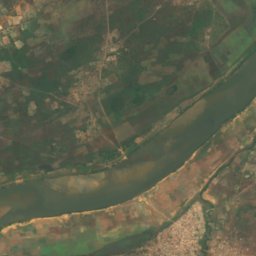
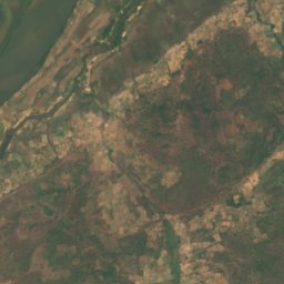
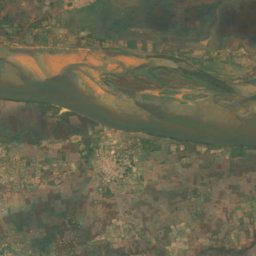
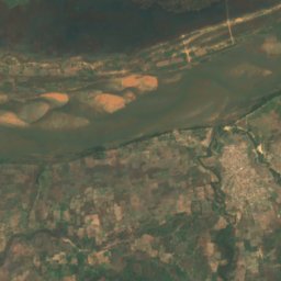
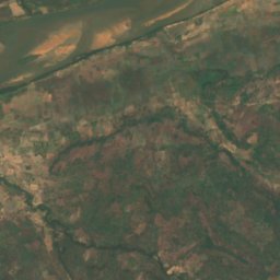
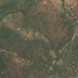
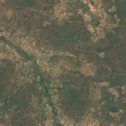
Satellite: Sentinel-2 cloudless 2016 by EOX IT Services GmbH · CC BY 4.0 · Contains modified Copernicus Sentinel data 2016
Komondala
Siguiri, Kankan Region
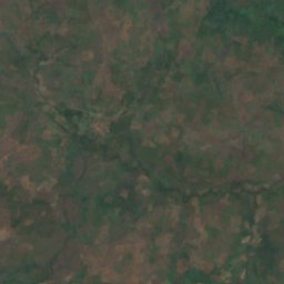
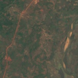
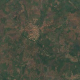
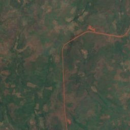
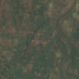
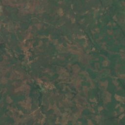
Satellite: Sentinel-2 cloudless 2016 by EOX IT Services GmbH · CC BY 4.0 · Contains modified Copernicus Sentinel data 2016
Lac Dama
Kankan, Kankan Region
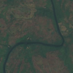
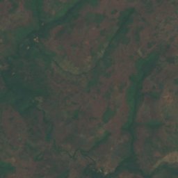
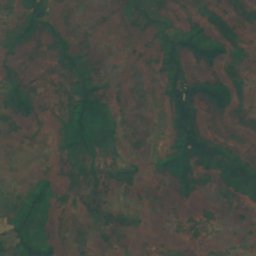
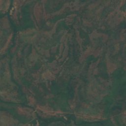
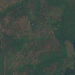
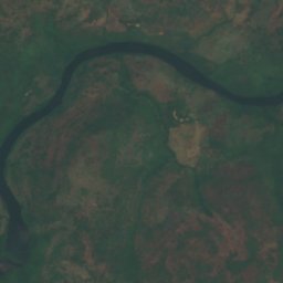
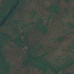
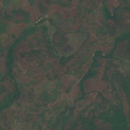
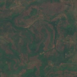
Satellite: Sentinel-2 cloudless 2016 by EOX IT Services GmbH · CC BY 4.0 · Contains modified Copernicus Sentinel data 2016
Lac de Binton
Tormelin, Boké Region
Waterfalls
Waterfalls of Guinea


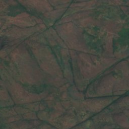
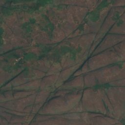
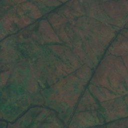
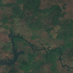
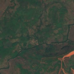
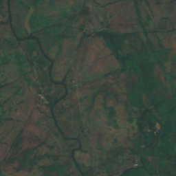
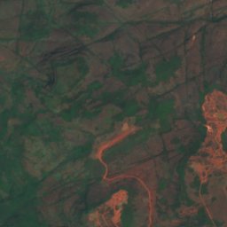
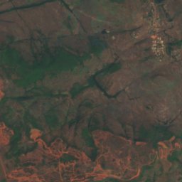
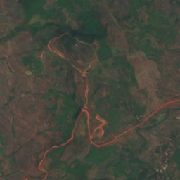
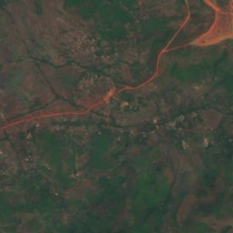
Satellite: Sentinel-2 cloudless 2016 by EOX IT Services GmbH · CC BY 4.0 · Contains modified Copernicus Sentinel data 2016
Grandes Chutes
Kindia, Kindia
National parks
National parks of Guinea
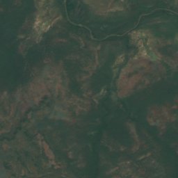
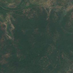
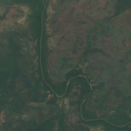
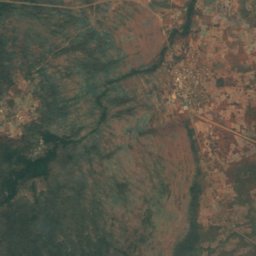
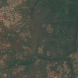
Satellite: Sentinel-2 cloudless 2016 by EOX IT Services GmbH · CC BY 4.0 · Contains modified Copernicus Sentinel data 2016
Badiar National Park
Koundara, Boké Region
382 km²
Beaches
Beaches of Guinea


Photo: Abdoulrahamane 99MDS Barry · CC BY-SA 4.0 · Wikimedia CommonsReport this photo · linked, not stored
beach
Dubréka, Kindia




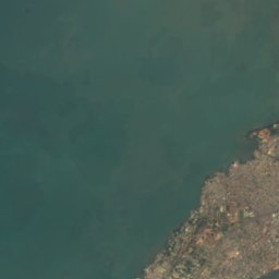

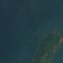
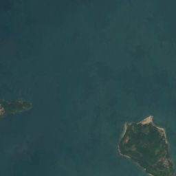
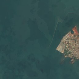
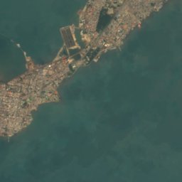

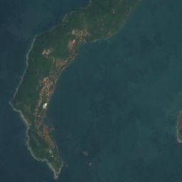
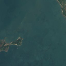
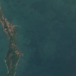

Satellite: Sentinel-2 cloudless 2016 by EOX IT Services GmbH · CC BY 4.0 · Contains modified Copernicus Sentinel data 2016
Plage de Sôrô
Camayenne, Conakry
Islands
Islands of Guinea

Photo: Mohamed Saliou Camara-Premier Journaliste médaillé d'or en Guinée|BAMBOUGUINEE · CC BY-SA 4.0 · Wikimedia CommonsReport this photo · linked, not stored
Fotoba
Camayenne, Conakry
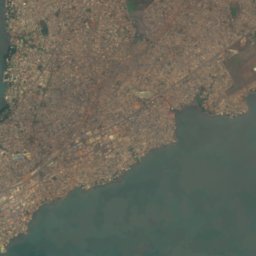


Satellite: Sentinel-2 cloudless 2016 by EOX IT Services GmbH · CC BY 4.0 · Contains modified Copernicus Sentinel data 2016
Tombo Island
Camayenne, Conakry




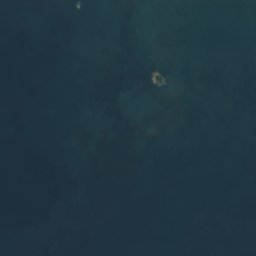
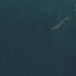
Satellite: Sentinel-2 cloudless 2016 by EOX IT Services GmbH · CC BY 4.0 · Contains modified Copernicus Sentinel data 2016
Rouma Island
Camayenne, Conakry
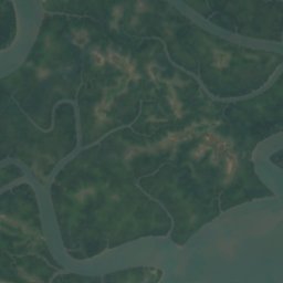
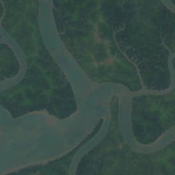
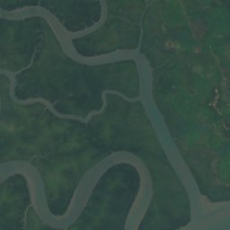
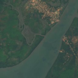
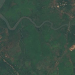
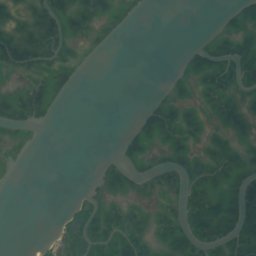
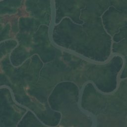
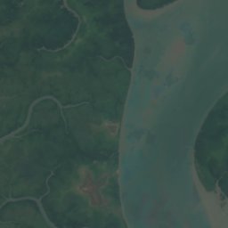
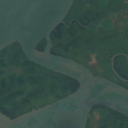
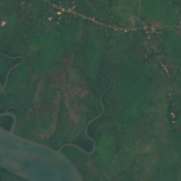
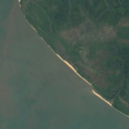
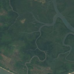
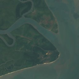
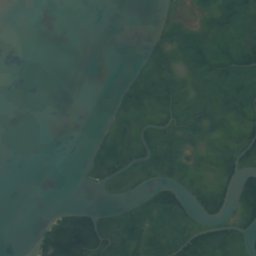
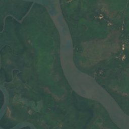
Satellite: Sentinel-2 cloudless 2016 by EOX IT Services GmbH · CC BY 4.0 · Contains modified Copernicus Sentinel data 2016
Bakissouri
Boffa, Boké Region

Satellite: Sentinel-2 cloudless 2016 by EOX IT Services GmbH · CC BY 4.0 · Contains modified Copernicus Sentinel data 2016
Banc Crawford
Camayenne, Conakry












Satellite: Sentinel-2 cloudless 2016 by EOX IT Services GmbH · CC BY 4.0 · Contains modified Copernicus Sentinel data 2016
Banc de Compony
Kamsar, Boké Region
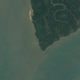
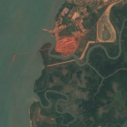

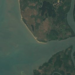

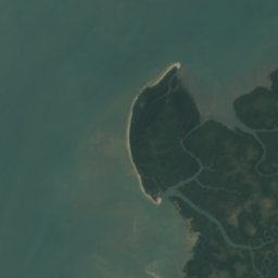
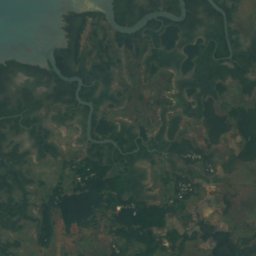
Satellite: Sentinel-2 cloudless 2016 by EOX IT Services GmbH · CC BY 4.0 · Contains modified Copernicus Sentinel data 2016
Banc de Dapiar
Kamsar, Boké Region


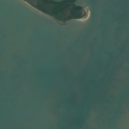
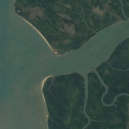
Satellite: Sentinel-2 cloudless 2016 by EOX IT Services GmbH · CC BY 4.0 · Contains modified Copernicus Sentinel data 2016
Banc de Kassagoua
Kamsar, Boké Region
Caves
Caves of Guinea



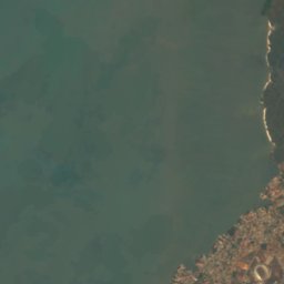
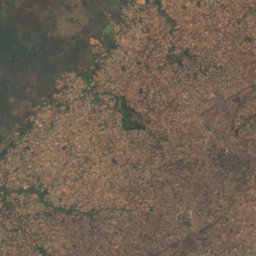



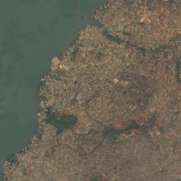
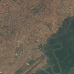
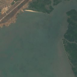
Satellite: Sentinel-2 cloudless 2016 by EOX IT Services GmbH · CC BY 4.0 · Contains modified Copernicus Sentinel data 2016
Kakimbo cave
Conakry, Conakry
Rivers
Rivers of Guinea




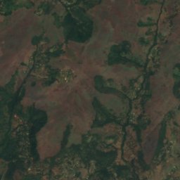
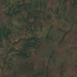
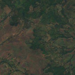
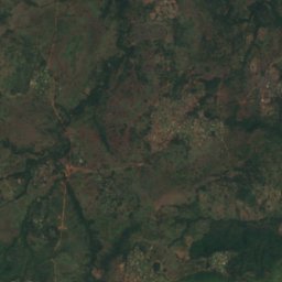
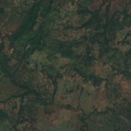
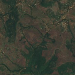
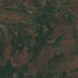
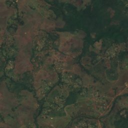
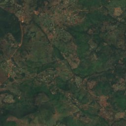
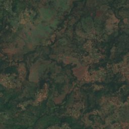
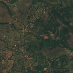
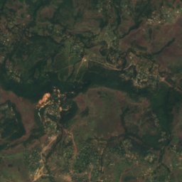
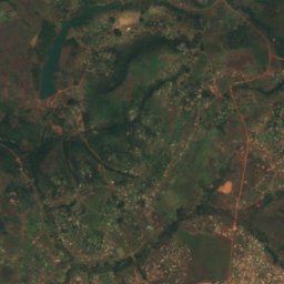
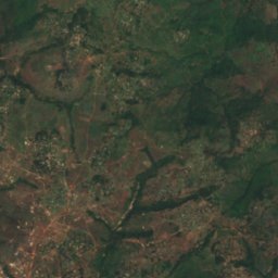
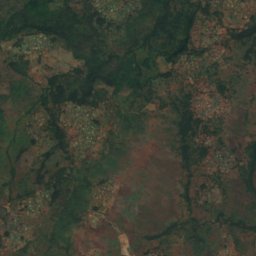
Satellite: Sentinel-2 cloudless 2016 by EOX IT Services GmbH · CC BY 4.0 · Contains modified Copernicus Sentinel data 2016
Gambia River
Labé, Labé Region
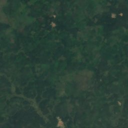
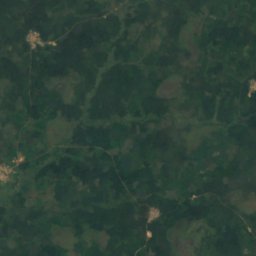
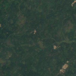
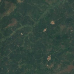
Satellite: Sentinel-2 cloudless 2016 by EOX IT Services GmbH · CC BY 4.0 · Contains modified Copernicus Sentinel data 2016
Mano River
Macenta, Nzérékoré Region
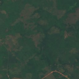

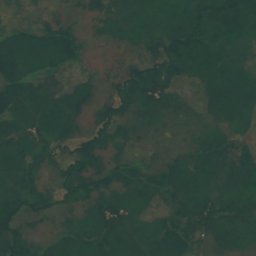
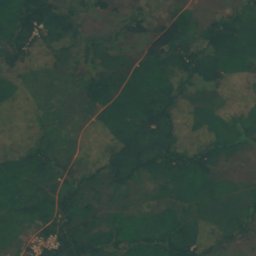
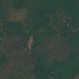
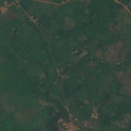
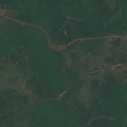
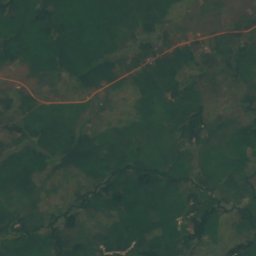
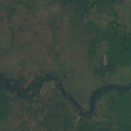
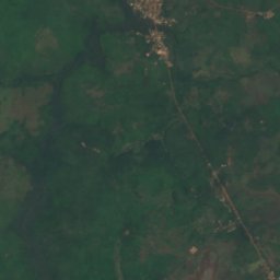
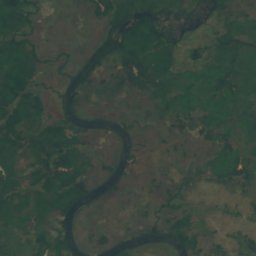
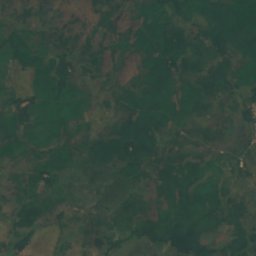
Satellite: Sentinel-2 cloudless 2016 by EOX IT Services GmbH · CC BY 4.0 · Contains modified Copernicus Sentinel data 2016
Kolenté River
Moussaya, Kindia
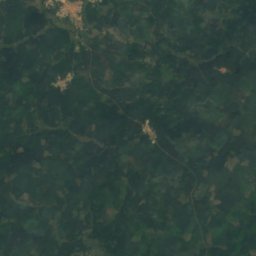
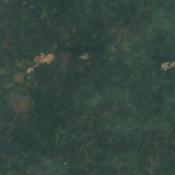
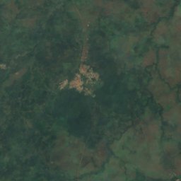
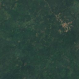
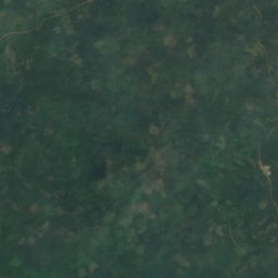
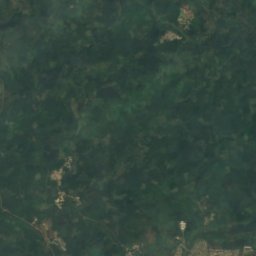
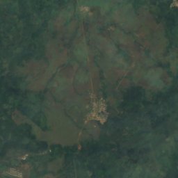


Satellite: Sentinel-2 cloudless 2016 by EOX IT Services GmbH · CC BY 4.0 · Contains modified Copernicus Sentinel data 2016
Saint John River
Bossou, Nzérékoré Region