
Photo: Filiasphotos · CC BY-SA 4.0 · Wikimedia Commons
VoidomatisReport this photo · linked, not stored
VoidomatisReport this photo · linked, not stored

Photo: Picture is credited to "Lights illuminate a massive spider web found in a cave o · CC BY 4.0 · Wikimedia Commons
Sulfur CaveReport this photo · linked, not stored
Sulfur CaveSulfur CaveReport this photo · linked, not stored

Photo: Marek Audy · CC BY-SA 4.0 · Wikimedia Commons
Atmos CaveReport this photo · linked, not stored
Atmos CaveAtmos CaveReport this photo · linked, not stored
 Tymfi
 Mount Nemërçkë
RiverGeroplatanos, Epirus
Voidomatis
RiverBest Jun · Sep–Oct
Elevation–above sea level
Length15 kmsource to mouth
Nearest townGeroplatanos5.0 km
40.01° N, 20.64° EUTC+3 · Eastern European Summer Time
When to goGeroplatanos · weather score
Best timeJun · Sep–Oct
October: high / low19° / 8°
River
Voidomatis in brief
Voidomatis is a river in Geroplatanos, Epirus, Greece.
The nearest town in the atlas is Geroplatanos, 5.0 km to the S, where the weather is best in June, September and October.
Voidomatis is 15 km long.
Weather nearby now
Forecast for Geroplatanos15°
Partly cloudy now
Today
22 Oct
20°
13°
15 mm
Fri
23 Oct
20°
9°
Sat
24 Oct
19°
9°
Sun
25 Oct
17°
11°
5 mm
Mon
26 Oct
20°
10°
Model run 00:00 UTCRefreshed several times a day
The course of the river
As mapped in OpenStreetMap, with the towns of the atlas along its banks.- 1Vikos770 m
- 2Papingo927 m
- 3Aristi642 m
- 4Geroplatanos643 m
sourcemouth (or where the mapped line leaves the country)
When to go
Climate of GeroplatanosThe best months around Voidomatis
Month score in Geroplatanos
Comfort, dry days and sunshine · out of 10027
Jan
30
Feb
36
Mar
65
Apr
76
May
79
Jun
74
Jul
73
Aug
79
Sep
81
Oct
40
Nov
24
Dec
Map
Voidomatis from above
Nature nearbyAll of Greece
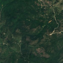
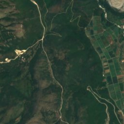
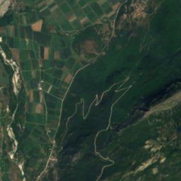
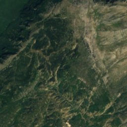
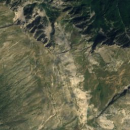
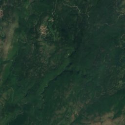
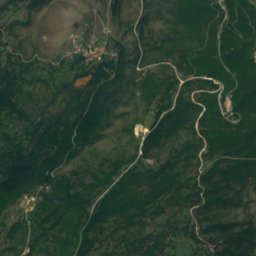
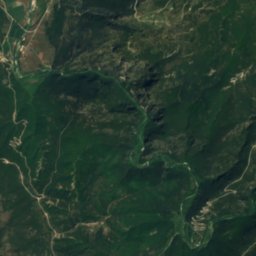
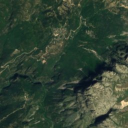
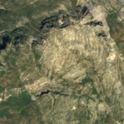
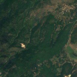
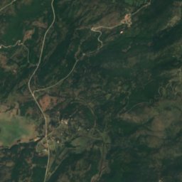
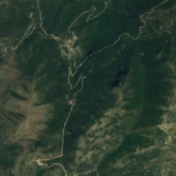
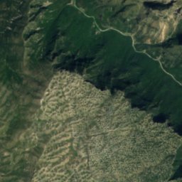
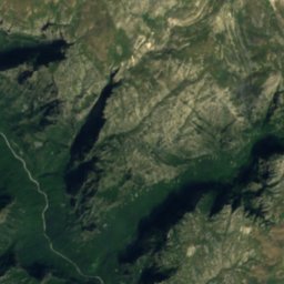
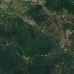
Satellite: Sentinel-2 cloudless 2016 by EOX IT Services GmbH · CC BY 4.0 · Contains modified Copernicus Sentinel data 2016
Satellite: Sentinel-2 cloudless 2016 by EOX IT Services GmbH · CC BY 4.0 · Contains modified Copernicus Sentinel data 2016
Photo: Picture is credited to "Lights illuminate a massive spider web found in a cave o · CC BY 4.0 · Wikimedia CommonsReport this photo · linked, not stored
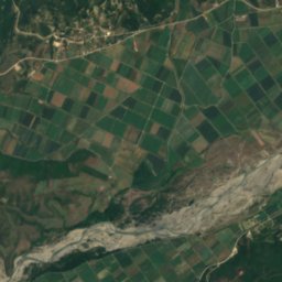
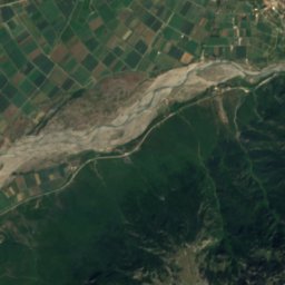
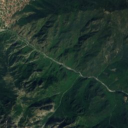
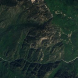
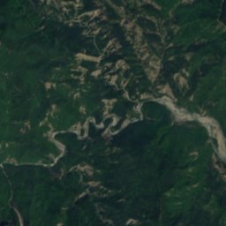
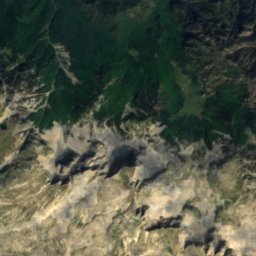
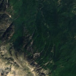
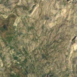
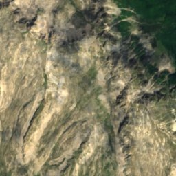
Satellite: Sentinel-2 cloudless 2016 by EOX IT Services GmbH · CC BY 4.0 · Contains modified Copernicus Sentinel data 2016
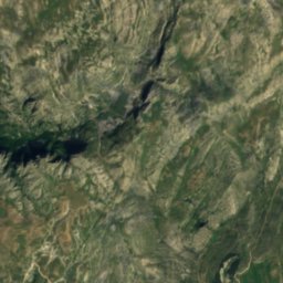
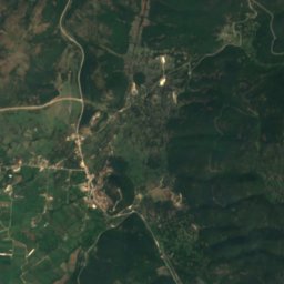
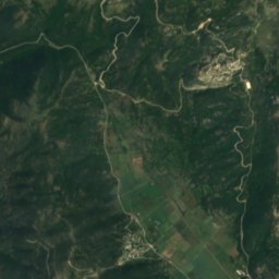
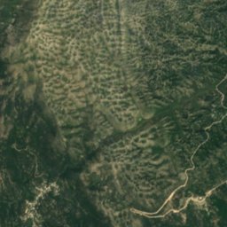
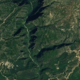
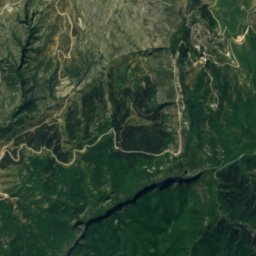
Satellite: Sentinel-2 cloudless 2016 by EOX IT Services GmbH · CC BY 4.0 · Contains modified Copernicus Sentinel data 2016
Summits nearbyMountains of Greece

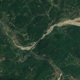
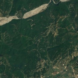
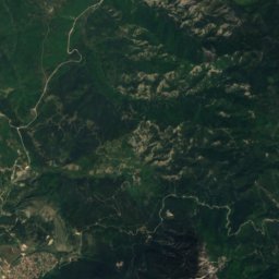
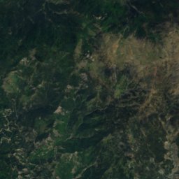
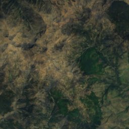
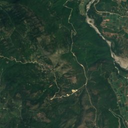
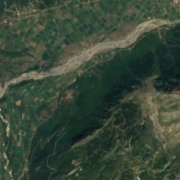
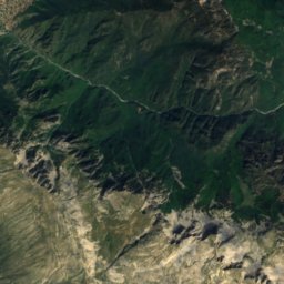
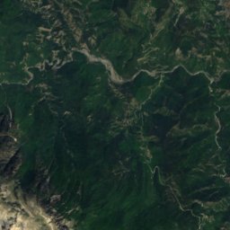
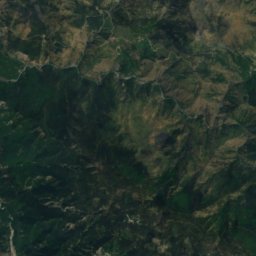
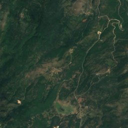
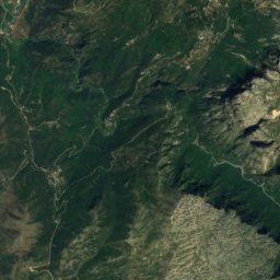
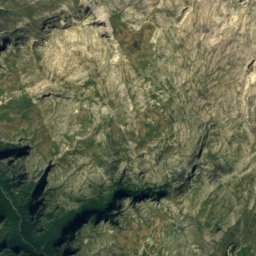
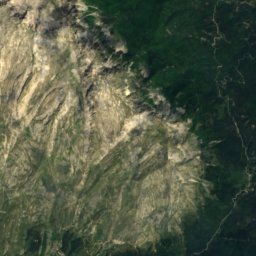
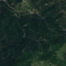
Satellite: Sentinel-2 cloudless 2016 by EOX IT Services GmbH · CC BY 4.0 · Contains modified Copernicus Sentinel data 2016

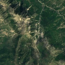
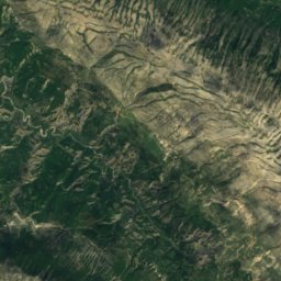
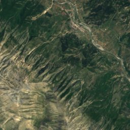
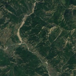
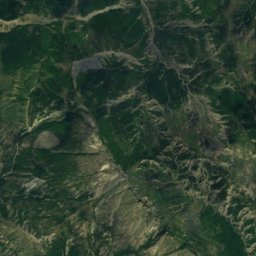
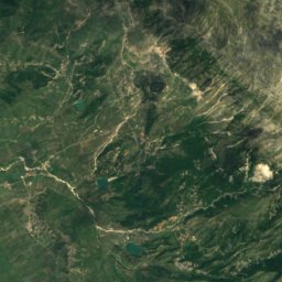
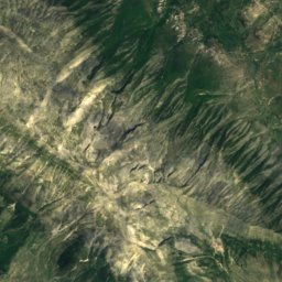
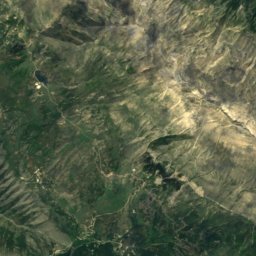
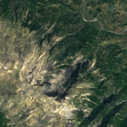
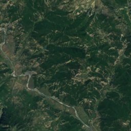
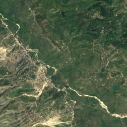
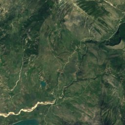
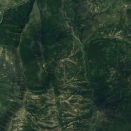
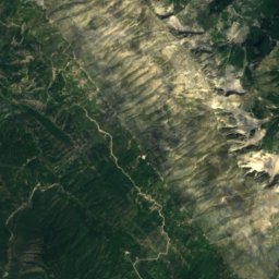
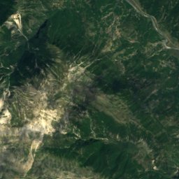
Satellite: Sentinel-2 cloudless 2016 by EOX IT Services GmbH · CC BY 4.0 · Contains modified Copernicus Sentinel data 2016
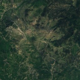
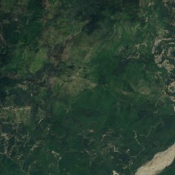
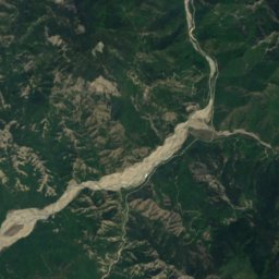
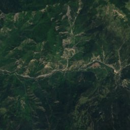
Satellite: Sentinel-2 cloudless 2016 by EOX IT Services GmbH · CC BY 4.0 · Contains modified Copernicus Sentinel data 2016
Stay nearby
Towns close by


Around here
Geroplatanos and around
Nature
Satellite: Sentinel-2 cloudless 2016 by EOX IT Services GmbH · CC BY 4.0 · Contains modified Copernicus Sentinel data 2016
Kleidi Cave
Cave
Satellite: Sentinel-2 cloudless 2016 by EOX IT Services GmbH · CC BY 4.0 · Contains modified Copernicus Sentinel data 2016
Megalakkos
Cave

Mountains

Photo: Deyan Vasilev ( Dido3 ) · CC BY-SA 3.0 · Wikimedia CommonsReport this photo · linked, not stored
Smolikas
2,637 m · Pindus
Satellite: Sentinel-2 cloudless 2016 by EOX IT Services GmbH · CC BY 4.0 · Contains modified Copernicus Sentinel data 2016
Gamila
2,497 m
Heritage

Photo: Vassiliki Feidopoulou · CC BY-SA 4.0 · Wikimedia CommonsReport this photo · linked, not stored
Monastery of Panagia Molyvdoskepastos
protected building in Greece · 700

Photo: Vincent C~commonswiki · CC BY-SA 3.0 · Wikimedia CommonsReport this photo · linked, not stored
Monodendri
traditional settlement in Greece
Museums
Satellite: Sentinel-2 cloudless 2016 by EOX IT Services GmbH · CC BY 4.0 · Contains modified Copernicus Sentinel data 2016
Military Museum of Kalpaki
Military museum · 1975

Satellite: Sentinel-2 cloudless 2016 by EOX IT Services GmbH · CC BY 4.0 · Contains modified Copernicus Sentinel data 2016
Complex of Water Mills of Paleopyrgos


Satellite: Sentinel-2 cloudless 2016 by EOX IT Services GmbH · CC BY 4.0 · Contains modified Copernicus Sentinel data 2016