본문으로 건너뛰기
여행지
날씨와 기후
자연
야외 활동
문화
행사
하늘과 실시간
Voidomatis
사진: Filiasphotos · CC BY-SA 4.0 · Wikimedia Commons
Voidomatis이 사진 신고 · 링크만, 저장 없음
Sulfur Cave
사진: Picture is credited to "Lights illuminate a massive spider web found in a cave o · CC BY 4.0 · Wikimedia Commons
Sulfur Cave이 사진 신고 · 링크만, 저장 없음
Sulfur Cave
Atmos Cave
사진: Marek Audy · CC BY-SA 4.0 · Wikimedia Commons
Atmos Cave이 사진 신고 · 링크만, 저장 없음
Atmos Cave
Tymfi
사진: Kkostagiannis · CC BY-SA 3.0 · Wikimedia Commons
Tymfi이 사진 신고 · 링크만, 저장 없음
Tymfi
Mount Nemërçkë
사진: Spyenson · CC BY 3.0 · Wikimedia Commons
Mount Nemërçkë이 사진 신고 · 링크만, 저장 없음
Mount Nemërçkë
강Geroplatanos, 이피로스주

Voidomatis

강최적 6월 · 9월–10월
고도–해발
길이15 km발원지에서 하구까지
가장 가까운 지점Geroplatanos5.0 km
북위 40.01°, 동경 20.64°UTC+3 · 동유럽 하계 표준시
여행 시기Geroplatanos · 날씨 점수
1월2월3월4월5월6월7월8월9월10월11월12월8110월
최적 시기6월 · 9월–10월
10월: 최고 / 최저19° / 8°
강

Voidomatis 개요

Voidomatis는 그리스(이피로스주)에 있는 강입니다.

아틀라스에서 가장 가까운 지점은 남쪽으로 5.0 km 떨어진 Geroplatanos입니다. 그곳의 날씨가 가장 쾌적한 달은 6월, 9월, 10월입니다.

Voidomatis의 길이는 15 km입니다.

Geroplatanos: 날씨와 기후 가이드

주변의 현재 날씨

Geroplatanos의 일기 예보
18°
현재 날씨: 구름 조금
바람5 km/h
습도74%
구름양44%
오늘
10월 22일
20°
13°
15 mm
금
10월 23일
20°
9°
토
10월 24일
19°
9°
일
10월 25일
17°
11°
5 mm
월
10월 26일
20°
10°

모델 계산 시각 00:00 UTC하루 여러 번 갱신

강의 물길

OpenStreetMap 지도 데이터를 기준으로 하며, 강변에 있는 Places of Earth 수록 도시도 함께 표시합니다.
1234
  1. 1Vikos770 m
  2. 2Papingo927 m
  3. 3Aristi642 m
  4. 4Geroplatanos643 m
발원지하구 (또는 지도상의 물길이 국외로 나가는 지점)
언제 갈까

Voidomatis: 여행하기 좋은 시기

Geroplatanos의 기후

Geroplatanos의 월별 평가

쾌적도, 비 없는 날, 일조 · 100점 만점
27
1월
30
2월
36
3월
65
4월
76
5월
79
6월
74
7월
73
8월
79
9월
81
10월
40
11월
24
12월
지도

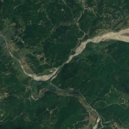
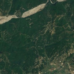
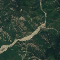
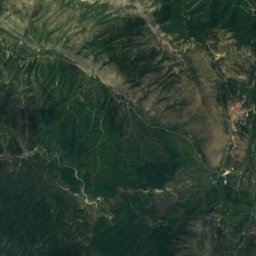
Voidomatis 하늘에서

주변 자연전국
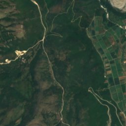
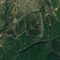
위성: Sentinel-2 cloudless 2016(EOX IT Services GmbH) · CC BY 4.0 · 수정된 Copernicus Sentinel 데이터(2016) 포함
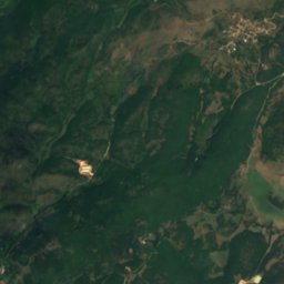
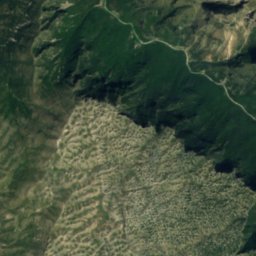
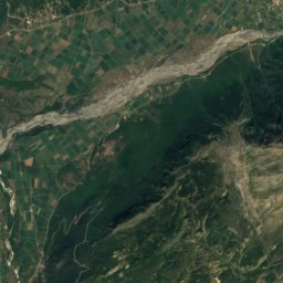
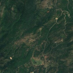
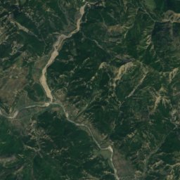
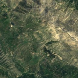
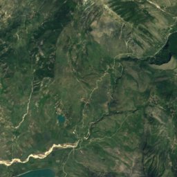
Kleidi Cave동굴6.8 km남동Kleidi Cave
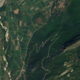
위성: Sentinel-2 cloudless 2016(EOX IT Services GmbH) · CC BY 4.0 · 수정된 Copernicus Sentinel 데이터(2016) 포함
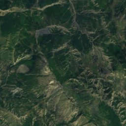
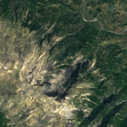
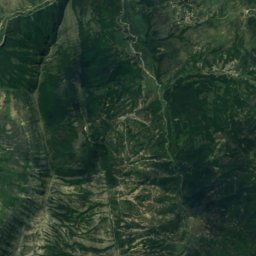
Megalakkos동굴7.0 km남동Megalakkos
사진: Picture is credited to "Lights illuminate a massive spider web found in a cave o · CC BY 4.0 · Wikimedia Commons이 사진 신고 · 링크만, 저장 없음
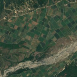
Sulfur Cave동굴9.6 km북Sulfur Cave
사진: Marek Audy · CC BY-SA 4.0 · Wikimedia Commons이 사진 신고 · 링크만, 저장 없음
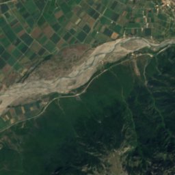
Atmos Cave동굴10 km북Atmos Cave
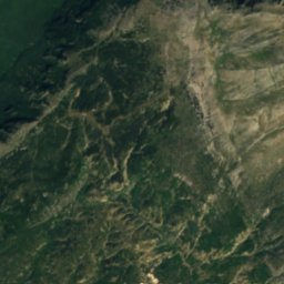
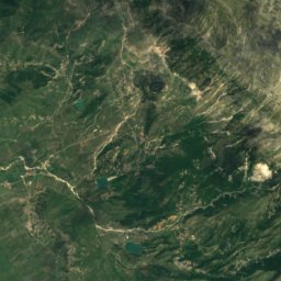
위성: Sentinel-2 cloudless 2016(EOX IT Services GmbH) · CC BY 4.0 · 수정된 Copernicus Sentinel 데이터(2016) 포함
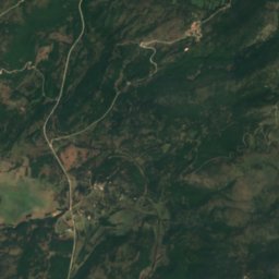
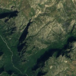
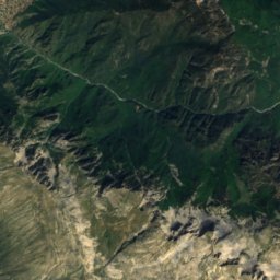
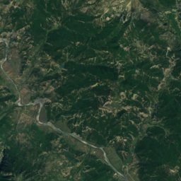
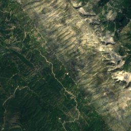
Tymfi mountain refuge산장11 km동Tymfi mountain refuge
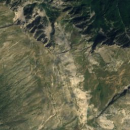
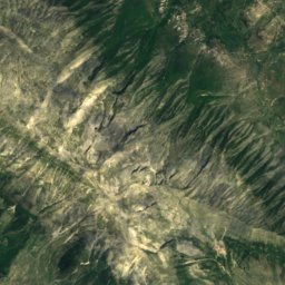
위성: Sentinel-2 cloudless 2016(EOX IT Services GmbH) · CC BY 4.0 · 수정된 Copernicus Sentinel 데이터(2016) 포함
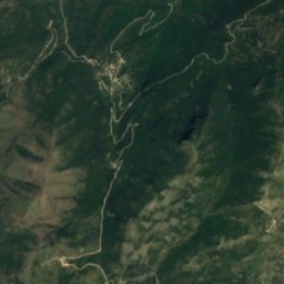
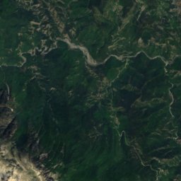
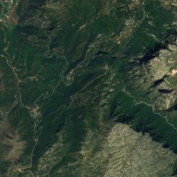
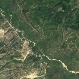
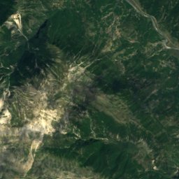
Vikos–Aoös National Park국립공원14 km남동Vikos–Aoös National Park
주변 정상그리스의 산
사진: Kkostagiannis · CC BY-SA 3.0 · Wikimedia Commons이 사진 신고 · 링크만, 저장 없음
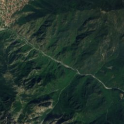
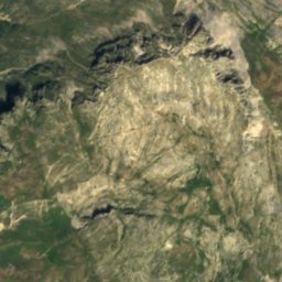
Tymfi15 km 동2,497 m7월 21°Tymfi
위성: Sentinel-2 cloudless 2016(EOX IT Services GmbH) · CC BY 4.0 · 수정된 Copernicus Sentinel 데이터(2016) 포함
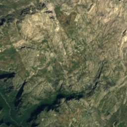
Gamila15 km 남동2,497 m7월 20°Gamila
사진: Spyenson · CC BY 3.0 · Wikimedia Commons이 사진 신고 · 링크만, 저장 없음
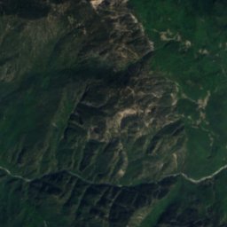
Mount Nemërçkë25 km 북서2,485 m7월 18°Mount Nemërçkë
위성: Sentinel-2 cloudless 2016(EOX IT Services GmbH) · CC BY 4.0 · 수정된 Copernicus Sentinel 데이터(2016) 포함
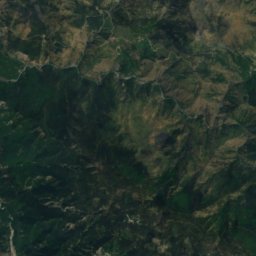
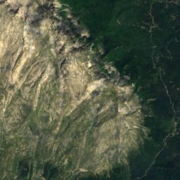
Papingu22 km 북서2,482 m7월 17°Papingu
위성: Sentinel-2 cloudless 2016(EOX IT Services GmbH) · CC BY 4.0 · 수정된 Copernicus Sentinel 데이터(2016) 포함
Trapezitsa13 km 동2,022 m7월 23°Trapezitsa
위성: Sentinel-2 cloudless 2016(EOX IT Services GmbH) · CC BY 4.0 · 수정된 Copernicus Sentinel 데이터(2016) 포함
Tumba14 km 북서1,842 m7월 20°Tumba
근처 숙소

바로 근처의 지점

Geroplatanos
사진: User:Lef27064 · CC BY-SA 3.0 · Wikimedia Commons이 사진 신고 · 링크만, 저장 없음
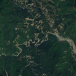
Geroplatanos

이피로스주 · 5.0 km 남
19°10월 최고
8비 오는 날
81점수
Geroplatanos
Kefalovryso
사진: Nico Mentis · CC BY-SA 2.0 de · Wikimedia Commons이 사진 신고 · 링크만, 저장 없음
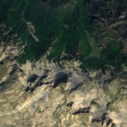
Kefalovryso

이피로스주 · 7.3 km 서
18°10월 최고
9비 오는 날
77점수
Kefalovryso
Papingo
사진: Costas78 · CC BY-SA 3.0 · Wikimedia Commons이 사진 신고 · 링크만, 저장 없음
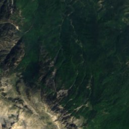
Papingo

이피로스주 · 8.1 km 남동
17°10월 최고
8비 오는 날
72점수
Papingo
Vikos
사진: Lucasagelinas · CC BY-SA 4.0 · Wikimedia Commons이 사진 신고 · 링크만, 저장 없음
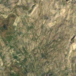
Vikos

이피로스주 · 8.7 km 남동
19°10월 최고
8비 오는 날
80점수
Vikos
주변

Geroplatanos 일대

Geroplatanos
사진: User:Lef27064 · CC BY-SA 3.0 · Wikimedia Commons이 사진 신고 · 링크만, 저장 없음
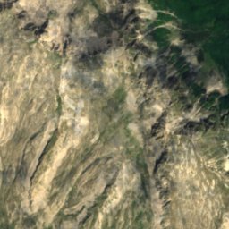
Geroplatanos

이피로스주 · 그리스
6월 · 9월–10월여행 적기
29°7월 최고 기온
643 m고도
Geroplatanos

자연

위성: Sentinel-2 cloudless 2016(EOX IT Services GmbH) · CC BY 4.0 · 수정된 Copernicus Sentinel 데이터(2016) 포함
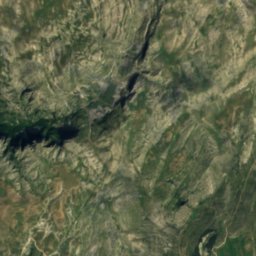
4.6 km 동

Kleidi Cave

동굴
Kleidi Cave
위성: Sentinel-2 cloudless 2016(EOX IT Services GmbH) · CC BY 4.0 · 수정된 Copernicus Sentinel 데이터(2016) 포함
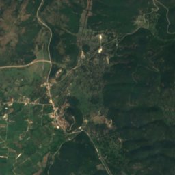
5.0 km 동

Megalakkos

동굴
Megalakkos
Vjosa Wild River National Park
사진: Unknown author · CC BY-SA 3.0 · Wikimedia Commons이 사진 신고 · 링크만, 저장 없음
24 km 북서

Vjosa Wild River National Park

국립공원
Vjosa Wild River National Park

산

Smolikas
사진: Deyan Vasilev ( Dido3 ) · CC BY-SA 3.0 · Wikimedia Commons이 사진 신고 · 링크만, 저장 없음
29 km 북동

Smolikas

2,637 m · 핀도스
Smolikas
위성: Sentinel-2 cloudless 2016(EOX IT Services GmbH) · CC BY 4.0 · 수정된 Copernicus Sentinel 데이터(2016) 포함
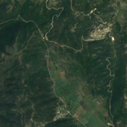
16 km 동

Gamila

2,497 m
Gamila
Tymfi
사진: Kkostagiannis · CC BY-SA 3.0 · Wikimedia Commons이 사진 신고 · 링크만, 저장 없음
16 km 동

Tymfi

2,497 m · 핀도스
Tymfi

유산

Monastery of Panagia Molyvdoskepastos
사진: Vassiliki Feidopoulou · CC BY-SA 4.0 · Wikimedia Commons이 사진 신고 · 링크만, 저장 없음
11 km 북

Monastery of Panagia Molyvdoskepastos

700
Monastery of Panagia Molyvdoskepastos
Papingo
사진: Costas78 · CC BY-SA 3.0 · Wikimedia Commons이 사진 신고 · 링크만, 저장 없음
7.9 km 동

Papingo

Papingo
Monodendri
사진: Vincent C~commonswiki · CC BY-SA 3.0 · Wikimedia Commons이 사진 신고 · 링크만, 저장 없음
14 km 남동

Monodendri

Monodendri

박물관·미술관

위성: Sentinel-2 cloudless 2016(EOX IT Services GmbH) · CC BY 4.0 · 수정된 Copernicus Sentinel 데이터(2016) 포함
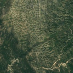
9.6 km 남

Military Museum of Kalpaki

군사 박물관 · 1975
Military Museum of Kalpaki
위성: Sentinel-2 cloudless 2016(EOX IT Services GmbH) · CC BY 4.0 · 수정된 Copernicus Sentinel 데이터(2016) 포함
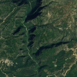
12 km 서

Complex of Water Mills of Paleopyrgos

Complex of Water Mills of Paleopyrgos
위성: Sentinel-2 cloudless 2016(EOX IT Services GmbH) · CC BY 4.0 · 수정된 Copernicus Sentinel 데이터(2016) 포함
8.3 km 북

Water Mill & Natural Museum of Bourazani

Water Mill & Natural Museum of Bourazani