

Photo: Unknown author · CC BY-SA 3.0 · Wikimedia Commons
Vjosa Wild River National ParkReport this photo · linked, not stored
Vjosa Wild River National ParkVjosa Wild River National ParkReport this photo · linked, not stored

Photo: Filiasphotos · CC BY-SA 4.0 · Wikimedia Commons
VoidomatisReport this photo · linked, not stored
VoidomatisVoidomatisReport this photo · linked, not stored

Photo: Marek Audy · CC BY-SA 4.0 · Wikimedia Commons
Atmos CaveReport this photo · linked, not stored
Atmos CaveAtmos CaveReport this photo · linked, not stored

Photo: Picture is credited to "Lights illuminate a massive spider web found in a cave o · CC BY 4.0 · Wikimedia Commons
Sulfur CaveReport this photo · linked, not stored
Sulfur CaveSulfur CaveReport this photo · linked, not stored
RiverPogoniani, Epirus
Thyamis
RiverBest Jun–Jul · Sep
Elevation–above sea level
Length115 kmsource to mouth
Nearest townPogoniani5.3 km
40.03° N, 20.47° EUTC+2 · Eastern European Standard Time
When to goPogoniani · weather score
Best timeJun–Jul · Sep
October: high / low18° / 7°
River
Thyamis in brief
Thyamis is a river in Pogoniani, Epirus, Greece.
The nearest town is Pogoniani, 5.3 km to the SW, where the weather is best in June, July and September.
Thyamis is 115 km long.
Weather nearby now
Forecast for Pogoniani13°
Sunny now
Today
27 Oct
15°
4°
Wed
28 Oct
15°
2°
Thu
29 Oct
18°
4°
Fri
30 Oct
16°
7°
7 mm
Sat
31 Oct
14°
6°
1 mm
Model run 00:00 UTCRefreshed several times a day
The course of the river
As mapped in OpenStreetMap, with the towns along its banks.- 1Chrysorrachi598 m
- 2Zitsa678 m
- 3Neraida57 m
- 4Parapotamos129 m
- 5Mavroudi100 m
- 6Kastri154 m
sourcemouth (or where the mapped line leaves the country)
When to go
Climate of PogonianiThe best months around Thyamis
Month score in Pogoniani
Comfort, dry days and sunshine · out of 10024
Jan
26
Feb
33
Mar
58
Apr
74
May
79
Jun
77
Jul
77
Aug
79
Sep
77
Oct
34
Nov
20
Dec
Map
Thyamis from above
Nature nearbyAll of Greece


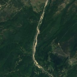
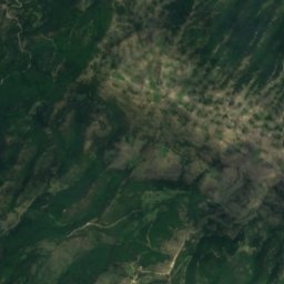
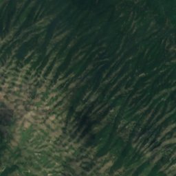
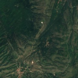
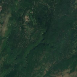
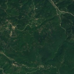
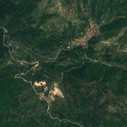
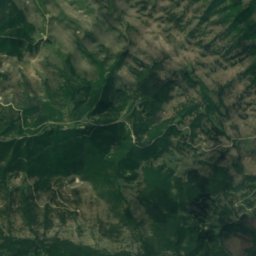
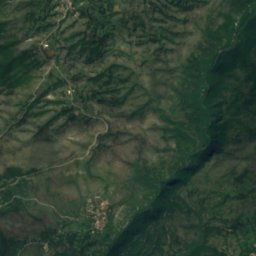
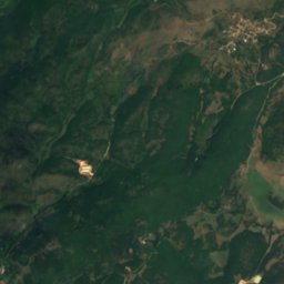
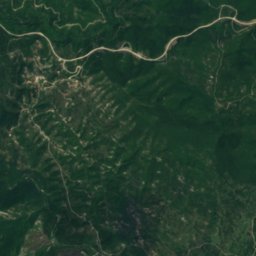
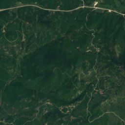
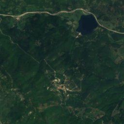
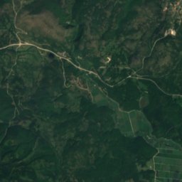
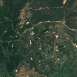
Satellite: Sentinel-2 cloudless 2016 by EOX IT Services GmbH · CC BY 4.0 · Contains modified Copernicus Sentinel data 2016
Photo: Picture is credited to "Lights illuminate a massive spider web found in a cave o · CC BY 4.0 · Wikimedia CommonsReport this photo · linked, not stored
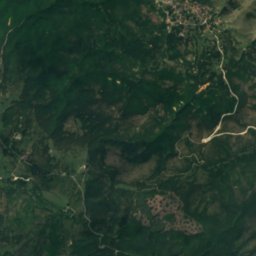
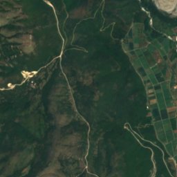
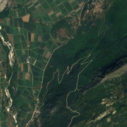
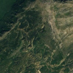
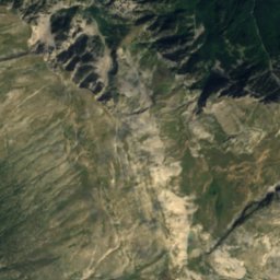
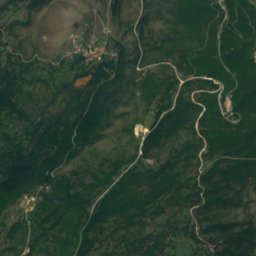
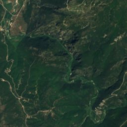
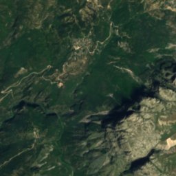
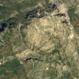
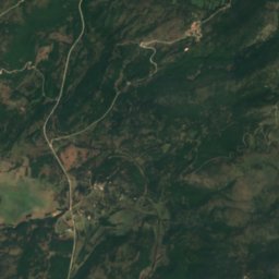
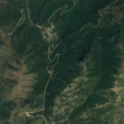
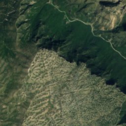
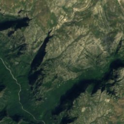
Satellite: Sentinel-2 cloudless 2016 by EOX IT Services GmbH · CC BY 4.0 · Contains modified Copernicus Sentinel data 2016
Summits nearbyMountains of Greece

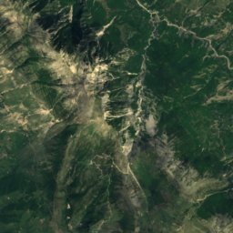
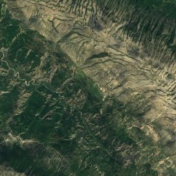
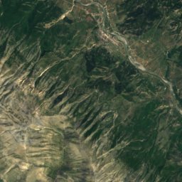
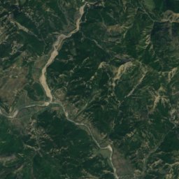
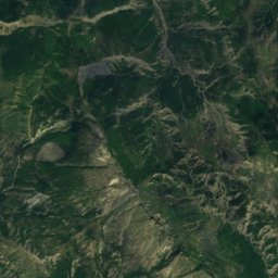
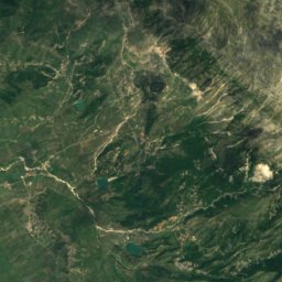
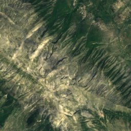
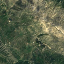
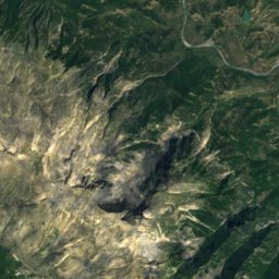
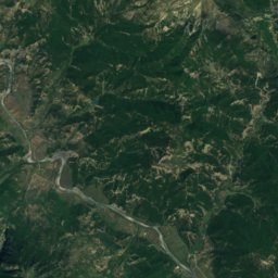
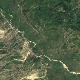
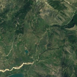
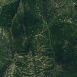
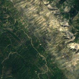
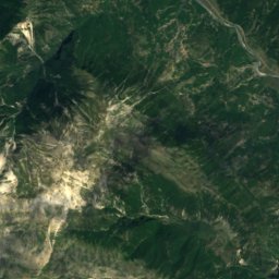
Satellite: Sentinel-2 cloudless 2016 by EOX IT Services GmbH · CC BY 4.0 · Contains modified Copernicus Sentinel data 2016

Photo: Krzysztof Dudzik-Górnicki (User:ToSter) · CC BY-SA 3.0 · Wikimedia CommonsReport this photo · linked, not stored
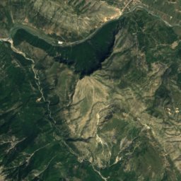
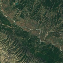
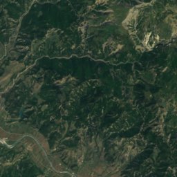
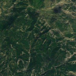
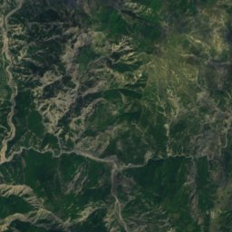
Satellite: Sentinel-2 cloudless 2016 by EOX IT Services GmbH · CC BY 4.0 · Contains modified Copernicus Sentinel data 2016
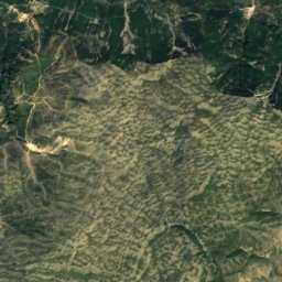
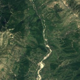
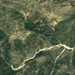
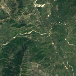
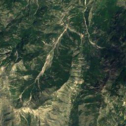
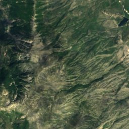
Satellite: Sentinel-2 cloudless 2016 by EOX IT Services GmbH · CC BY 4.0 · Contains modified Copernicus Sentinel data 2016

Stay nearby
Towns close by

Photo: Pogoniani village club in Athens · Public domain · Wikimedia CommonsReport this photo · linked, not stored
Pogoniani
Epirus · 5.3 km SW
18°Oct high
9wet days
77score

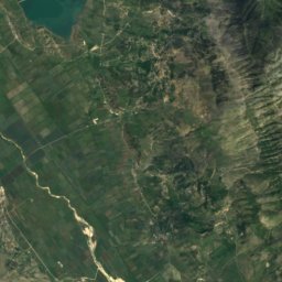
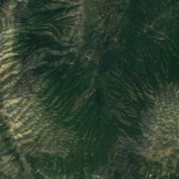
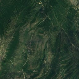
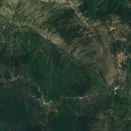
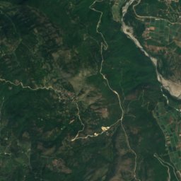
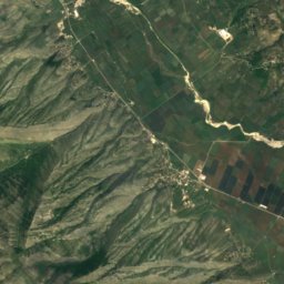
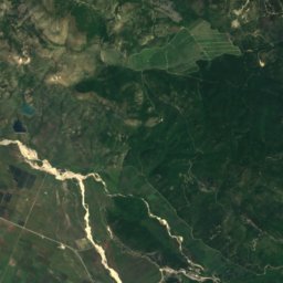
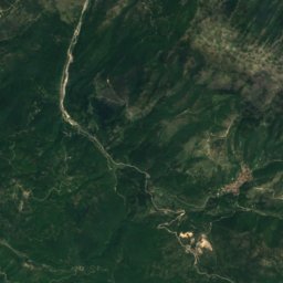
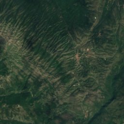
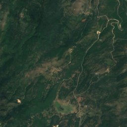
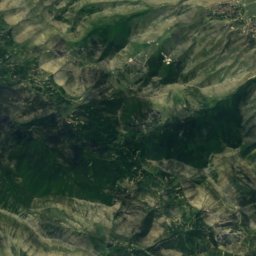
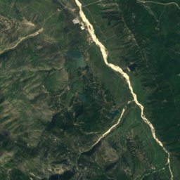
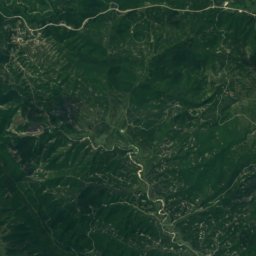
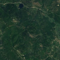
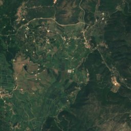
Satellite: Sentinel-2 cloudless 2016 by EOX IT Services GmbH · CC BY 4.0 · Contains modified Copernicus Sentinel data 2016
Delvinaki
Epirus · 11 km S
18°Oct high
9wet days
79score

Around here
Pogoniani and around
Photo: Pogoniani village club in Athens · Public domain · Wikimedia CommonsReport this photo · linked, not stored
Pogoniani
Epirus · Greece
Jun–Jul · Sepbest months
28°July high
718 maltitude
Nature
Photo: Picture is credited to "Lights illuminate a massive spider web found in a cave o · CC BY 4.0 · Wikimedia CommonsReport this photo · linked, not stored
Sulfur Cave
Cave
Mountains

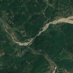
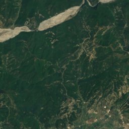
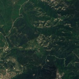
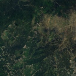
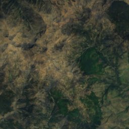
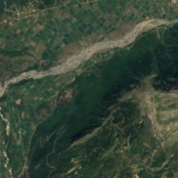
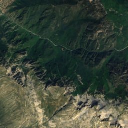
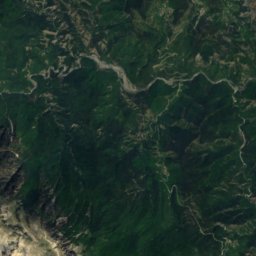
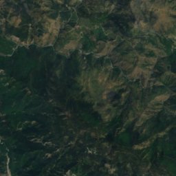
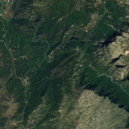
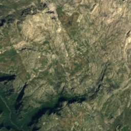
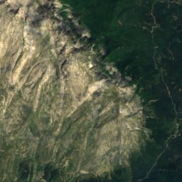
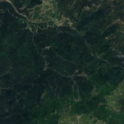
Satellite: Sentinel-2 cloudless 2016 by EOX IT Services GmbH · CC BY 4.0 · Contains modified Copernicus Sentinel data 2016
Gamila
2,497 m

Heritage

Photo: Pasztilla aka Attila Terbócs · CC BY-SA 4.0 · Wikimedia CommonsReport this photo · linked, not stored
Church of the Dormition of the Theotokos, Labovë e Kryqit
Cultural Monument of Albania · 901

Photo: Pasztilla aka Attila Terbócs · CC BY-SA 4.0 · Wikimedia CommonsReport this photo · linked, not stored
Libohovë Fortress
Cultural Monument of Albania

Museums




Satellite: Sentinel-2 cloudless 2016 by EOX IT Services GmbH · CC BY 4.0 · Contains modified Copernicus Sentinel data 2016