Skip to content
Destinations
Weather & climate
Nature
Outdoors
Culture
Events
Sky & live
Revythousa
Photo: C messier · CC BY-SA 3.0 · Wikimedia Commons
RevythousaReport this photo · linked, not stored
Makronisos Peiraia
Photo: C messier · CC BY-SA 3.0 · Wikimedia Commons
Makronisos PeiraiaReport this photo · linked, not stored
Makronisos Peiraia
Kanakia
Photo: koupakia · CC BY 3.0 · Wikimedia Commons
KanakiaReport this photo · linked, not stored
Kanakia
IslandNea Peramos, Attica

Revythousa

IslandBest Apr–May · Oct
Elevation–above sea level
Area0.2 km²surface
Nearest townNea Peramos5.4 km
37.96° N, 23.40° EUTC+3 · Eastern European Summer Time
When to goNea Peramos · weather score
JanFebMarAprMayJunJulAugSepOctNovDec86October
Best timeApr–May · Oct
October: high / low24° / 17°
Island

Revythousa in brief

Revythousa is an island in Nea Peramos, Attica, Greece.

It covers about 0.2 km².

The nearest town in the atlas is Nea Peramos, 5.4 km to the N, where the weather is best in April, May and October.

Nea Peramos: weather and travel guide

Weather nearby now

Forecast for Nea Peramos
25°
Sunny now
Wind11 km/h
Humidity80%
Cloud cover14%
Today
22 Oct
27°
19°
Fri
23 Oct
27°
18°
Sat
24 Oct
25°
16°
Sun
25 Oct
23°
17°
Mon
26 Oct
23°
16°
2 mm

Model run 00:00 UTCRefreshed several times a day

The island from above

0.2 km² · coastline as mapped in OpenStreetMap
200 m
When to go

The best months around Revythousa

Climate of Nea Peramos

Month score in Nea Peramos

Comfort, dry days and sunshine · out of 100
47
Jan
56
Feb
74
Mar
87
Apr
86
May
65
Jun
58
Jul
59
Aug
69
Sep
86
Oct
79
Nov
54
Dec
Map

Revythousa from above

Nature nearbyAll of Greece
Photo: C messier · CC BY-SA 3.0 · Wikimedia CommonsReport this photo · linked, not stored
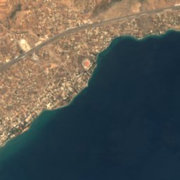
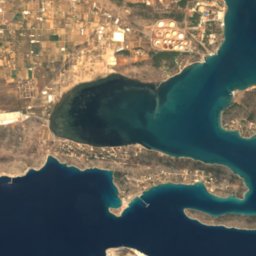
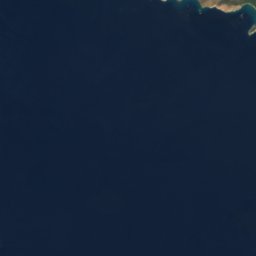
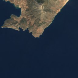
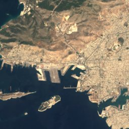
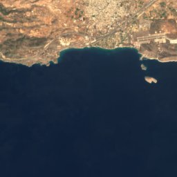
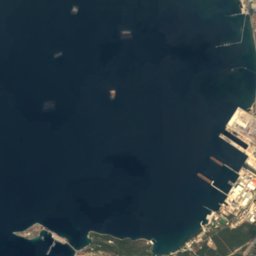
Makronisos PeiraiaIsland1.6 kmEMakronisos Peiraia
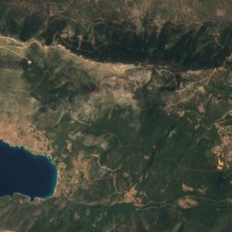
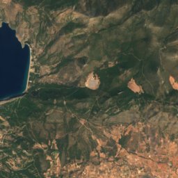
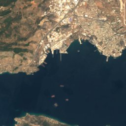
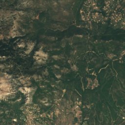
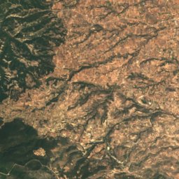
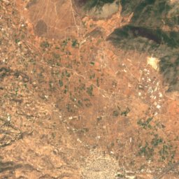
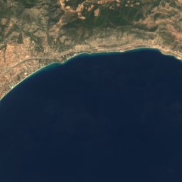
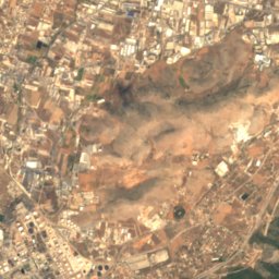
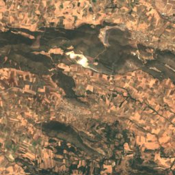
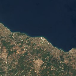
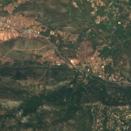
Satellite: Sentinel-2 cloudless 2016 by EOX IT Services GmbH · CC BY 4.0 · Contains modified Copernicus Sentinel data 2016
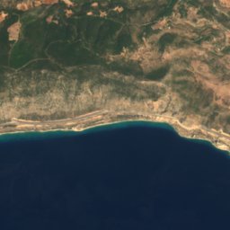
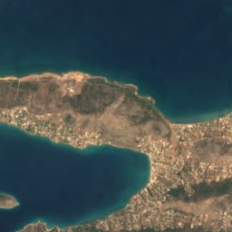
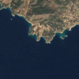
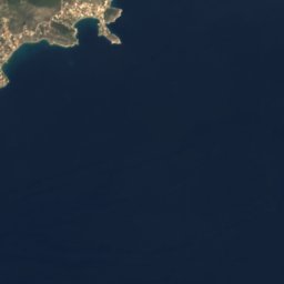
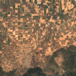
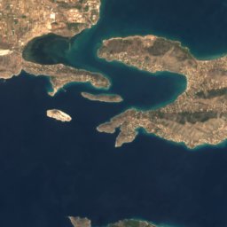
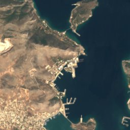
Megalo NisiIsland3.2 kmWMegalo Nisi
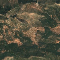
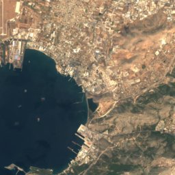
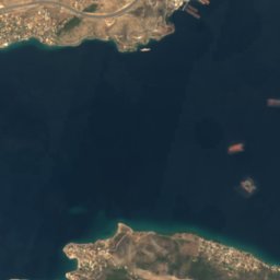
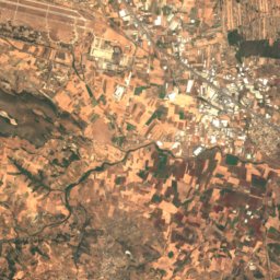
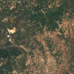
Satellite: Sentinel-2 cloudless 2016 by EOX IT Services GmbH · CC BY 4.0 · Contains modified Copernicus Sentinel data 2016
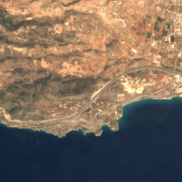
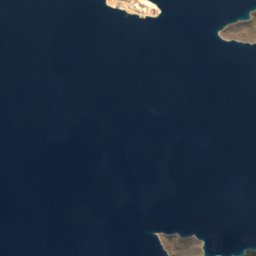
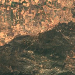
PachakiIsland3.6 kmWPachaki
Photo: koupakia · CC BY 3.0 · Wikimedia CommonsReport this photo · linked, not stored
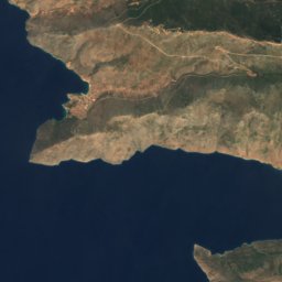
KanakiaIsland6.4 kmSKanakia
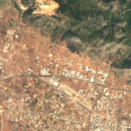
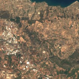
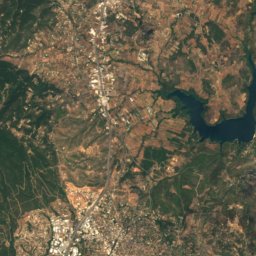
Satellite: Sentinel-2 cloudless 2016 by EOX IT Services GmbH · CC BY 4.0 · Contains modified Copernicus Sentinel data 2016
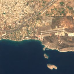
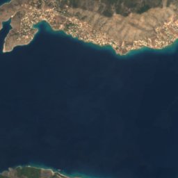
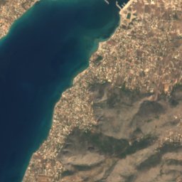
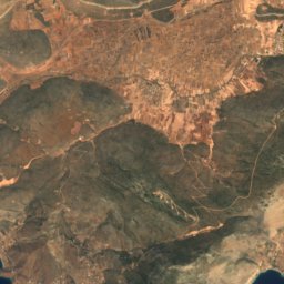
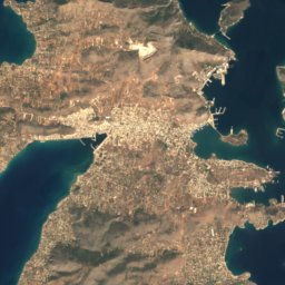
Gaidouronisi isletIsland6.8 kmSGaidouronisi islet
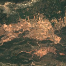
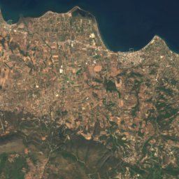
Satellite: Sentinel-2 cloudless 2016 by EOX IT Services GmbH · CC BY 4.0 · Contains modified Copernicus Sentinel data 2016
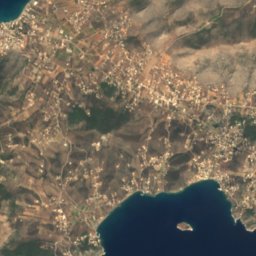
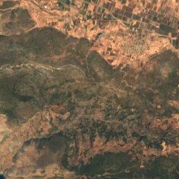
TrinisaIsland9.0 kmSTrinisa
Summits nearbyMountains of Greece
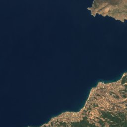
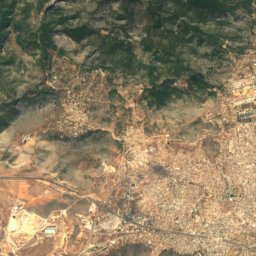
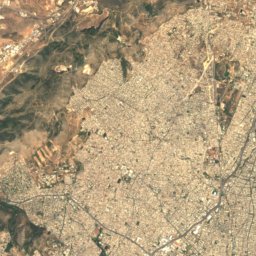
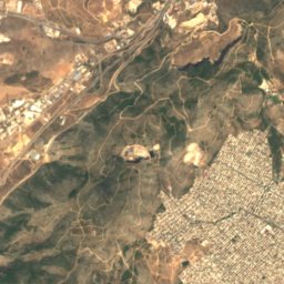
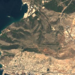
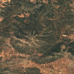
Satellite: Sentinel-2 cloudless 2016 by EOX IT Services GmbH · CC BY 4.0 · Contains modified Copernicus Sentinel data 2016
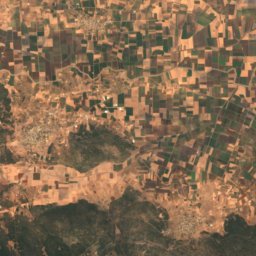
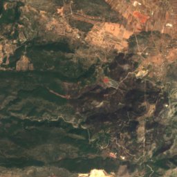
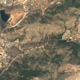
Mount Pateras19 km NW1,131 mJuly 27°Mount Pateras
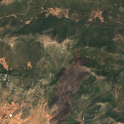
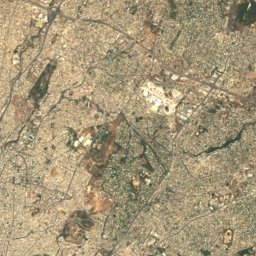
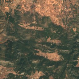
Satellite: Sentinel-2 cloudless 2016 by EOX IT Services GmbH · CC BY 4.0 · Contains modified Copernicus Sentinel data 2016
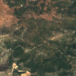
Kaliakouda, Attica22 km NW790 mJuly 28°Kaliakouda, Attica
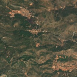
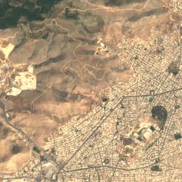
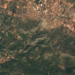
Satellite: Sentinel-2 cloudless 2016 by EOX IT Services GmbH · CC BY 4.0 · Contains modified Copernicus Sentinel data 2016
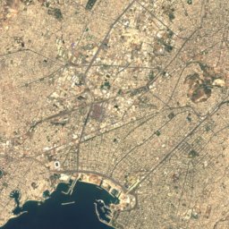
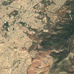
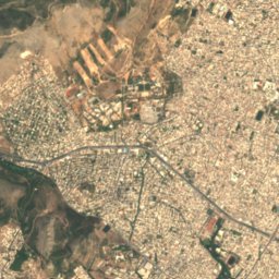
Korydallós19 km E469 mJuly 31°Korydallós
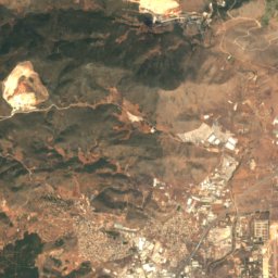
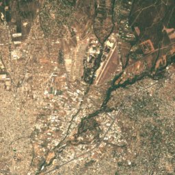
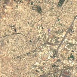
Satellite: Sentinel-2 cloudless 2016 by EOX IT Services GmbH · CC BY 4.0 · Contains modified Copernicus Sentinel data 2016
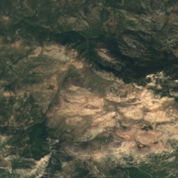
Poikilo24 km E465 mJuly 32°Poikilo
Stay nearby

Towns close by

Nea Peramos
Photo: Α.,Τ. · Attribution · Wikimedia CommonsReport this photo · linked, not stored

Nea Peramos

Attica · 5.4 km N
24°Oct high
6wet days
86score
Nea Peramos
Megara
Photo: O.Mustafin · CC0 · Wikimedia CommonsReport this photo · linked, not stored

Megara

Attica · 6.3 km NW
24°Oct high
6wet days
85score
Megara
Aianteio
Photo: C messier · CC BY-SA 4.0 · Wikimedia CommonsReport this photo · linked, not stored

Aianteio

Attica · 6.7 km SE
24°Oct high
6wet days
85score
Aianteio
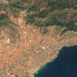
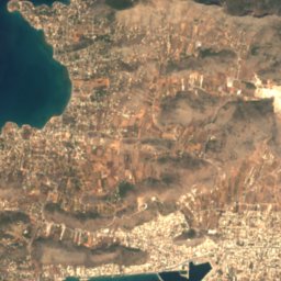
Satellite: Sentinel-2 cloudless 2016 by EOX IT Services GmbH · CC BY 4.0 · Contains modified Copernicus Sentinel data 2016


Vlychada

Attica · 8.0 km NE
24°Oct high
6wet days
86score
Vlychada
Around here

Nea Peramos and around

Nea Peramos
Photo: Α.,Τ. · Attribution · Wikimedia CommonsReport this photo · linked, not stored

Nea Peramos

Attica · Greece
Apr–May · Octbest months
34°July high
14 maltitude
Nea Peramos

Nature

Cave of Euripides
Photo: Violeta Meleti · CC BY-SA 4.0 · Wikimedia CommonsReport this photo · linked, not stored
14 km S

Cave of Euripides

Cave
Cave of Euripides
Ilisos
Photo: Edward Dodwell · Public domain · Wikimedia CommonsReport this photo · linked, not stored
24 km E

Ilisos

River
Ilisos
Satellite: Sentinel-2 cloudless 2016 by EOX IT Services GmbH · CC BY 4.0 · Contains modified Copernicus Sentinel data 2016

17 km E

Cave of Aphaia

Cave
Cave of Aphaia

Mountains

Makryplagi
Photo: Natalia Semenova · CC BY 3.0 · Wikimedia CommonsReport this photo · linked, not stored
26 km W

Makryplagi

1,369 m · Geraneia
Makryplagi
Satellite: Sentinel-2 cloudless 2016 by EOX IT Services GmbH · CC BY 4.0 · Contains modified Copernicus Sentinel data 2016

16 km NW

Mount Pateras

1,131 m
Mount Pateras
Satellite: Sentinel-2 cloudless 2016 by EOX IT Services GmbH · CC BY 4.0 · Contains modified Copernicus Sentinel data 2016
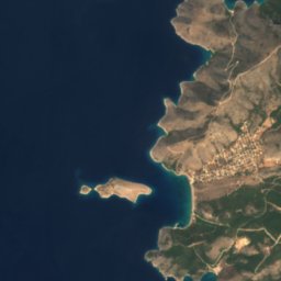
32 km NE

Karambola

1,093 m
Karambola

Heritage

Satellite: Sentinel-2 cloudless 2016 by EOX IT Services GmbH · CC BY 4.0 · Contains modified Copernicus Sentinel data 2016
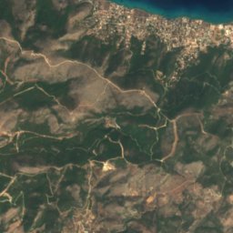
2.8 km SE

Faneromeni monastery, Salamina

protected building in Greece · 1682
Faneromeni monastery, Salamina
Satellite: Sentinel-2 cloudless 2016 by EOX IT Services GmbH · CC BY 4.0 · Contains modified Copernicus Sentinel data 2016

14 km S

Cave of Euripides

archaeological site in Greece
Cave of Euripides
Fountain of Theagenes
Photo: O.Mustafin · CC0 · Wikimedia CommonsReport this photo · linked, not stored
7.0 km W

Fountain of Theagenes

archaeological site in Greece · 500 BC
Fountain of Theagenes

Museums

Archaeological Museum of Eleusis
Photo: Zde · CC BY-SA 3.0 · Wikimedia CommonsReport this photo · linked, not stored
11 km E

Archaeological Museum of Eleusis

Archaeological museum · 1890
Archaeological Museum of Eleusis
Salamis archaeological museum
Photo: Schuppi · CC BY-SA 4.0 · Wikimedia CommonsReport this photo · linked, not stored
7.6 km SE

Salamis archaeological museum

Archaeological museum
Salamis archaeological museum
Archaeological Museum of Megara
Photo: C messier · CC BY-SA 4.0 · Wikimedia CommonsReport this photo · linked, not stored
6.9 km W

Archaeological Museum of Megara

Archaeological museum · 2000
Archaeological Museum of Megara