
Photo: Edward Dodwell · Public domain · Wikimedia Commons
IlisosReport this photo · linked, not stored
IlisosReport this photo · linked, not stored

Photo: Pplatis / Pplatis at Greek Wikipedia · Public domain · Wikimedia Commons
Koumoundourou isletReport this photo · linked, not stored
Koumoundourou isletKoumoundourou isletReport this photo · linked, not stored

Photo: kallerna · CC BY-SA 4.0 · Wikimedia Commons
Votsalakia beachReport this photo · linked, not stored
Votsalakia beachVotsalakia beachReport this photo · linked, not stored

Photo: Magnus Manske · CC BY-SA 3.0 · Wikimedia Commons
Freattyda beachReport this photo · linked, not stored
Freattyda beachFreattyda beachReport this photo · linked, not stored

Photo: George E. Koronaios · CC BY-SA 4.0 · Wikimedia Commons
HymettusReport this photo · linked, not stored
HymettusHymettusReport this photo · linked, not stored
RiverPiraeus, Attica
Ilisos
RiverBest Apr–May · Oct
Elevation–above sea level
Area–surface
Nearest townPiraeus3.0 km
37.94° N, 23.68° EUTC+3 · Eastern European Summer Time
When to goPiraeus · weather score
Best timeApr–May · Oct
October: high / low24° / 17°
River
Ilisos in brief
Ilisos is a river in Piraeus, Attica, Greece.
The nearest town in the atlas is Piraeus, 3.0 km to the W, where the weather is best in April, May and October.
Weather nearby now
Forecast for Piraeus24°
Sunny now
Today
22 Oct
25°
20°
Fri
23 Oct
26°
19°
3 mm
Sat
24 Oct
24°
16°
Sun
25 Oct
22°
16°
Mon
26 Oct
21°
17°
5 mm
Model run 00:00 UTCRefreshed several times a day
The course of the river
As mapped in OpenStreetMap, with the towns of the atlas along its banks.- 1Asteroskopeio106 m
- 2Athens70 m
sourcemouth (or where the mapped line leaves the country)
Map
Ilisos from above
Nature nearbyAll of Greece
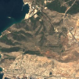
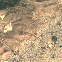
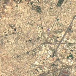
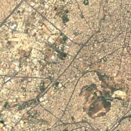
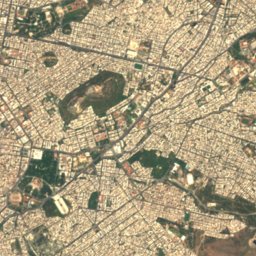
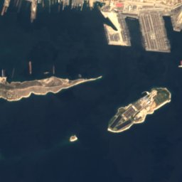
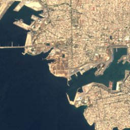
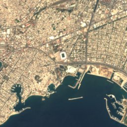
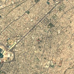
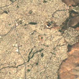


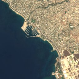
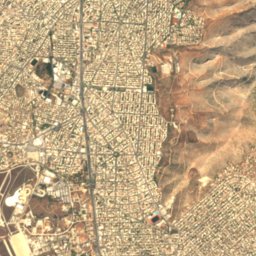
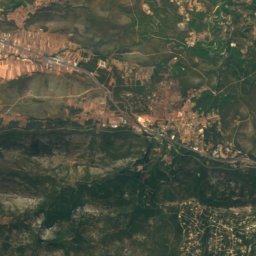
Satellite: Sentinel-2 cloudless 2016 by EOX IT Services GmbH · CC BY 4.0 · Contains modified Copernicus Sentinel data 2016
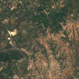
Satellite: Sentinel-2 cloudless 2016 by EOX IT Services GmbH · CC BY 4.0 · Contains modified Copernicus Sentinel data 2016

Photo: Pplatis / Pplatis at Greek Wikipedia · Public domain · Wikimedia CommonsReport this photo · linked, not stored
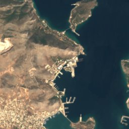
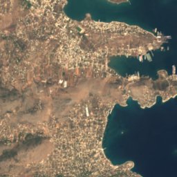
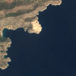
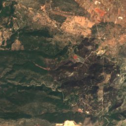
Satellite: Sentinel-2 cloudless 2016 by EOX IT Services GmbH · CC BY 4.0 · Contains modified Copernicus Sentinel data 2016


Summits nearbyMountains of Greece
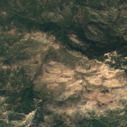
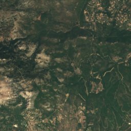
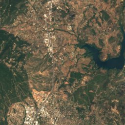
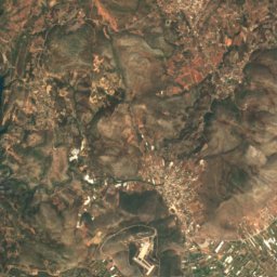
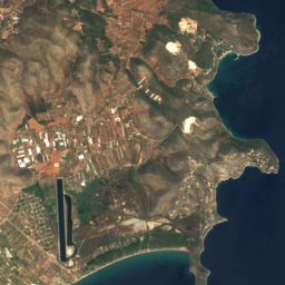
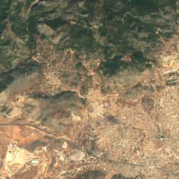
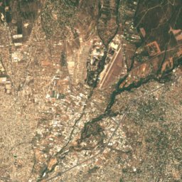
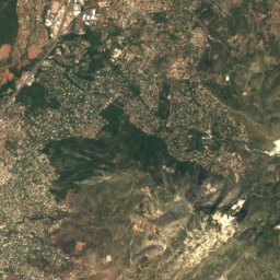
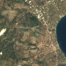
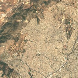
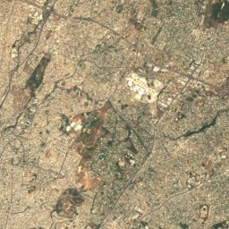
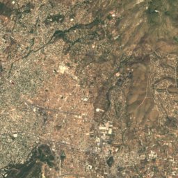
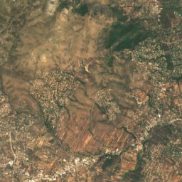
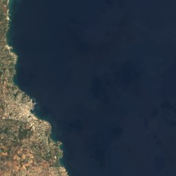
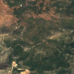
Satellite: Sentinel-2 cloudless 2016 by EOX IT Services GmbH · CC BY 4.0 · Contains modified Copernicus Sentinel data 2016
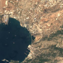
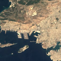
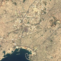
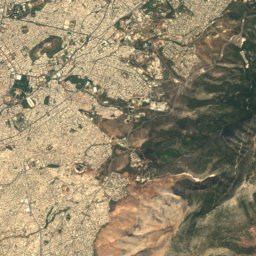
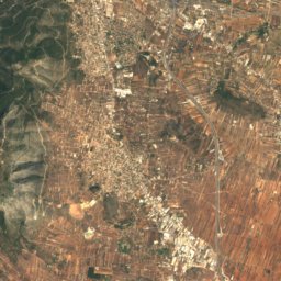
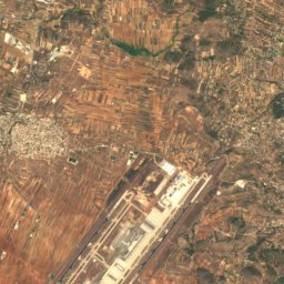

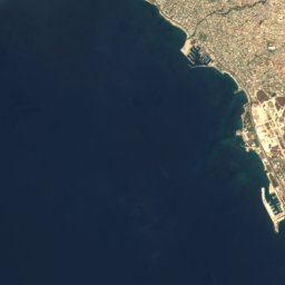
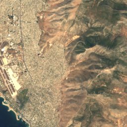
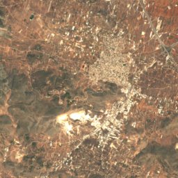
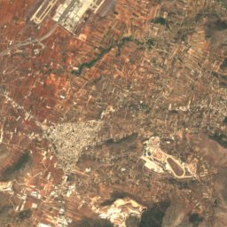
Satellite: Sentinel-2 cloudless 2016 by EOX IT Services GmbH · CC BY 4.0 · Contains modified Copernicus Sentinel data 2016


Satellite: Sentinel-2 cloudless 2016 by EOX IT Services GmbH · CC BY 4.0 · Contains modified Copernicus Sentinel data 2016
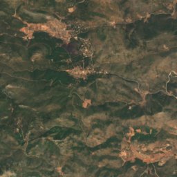
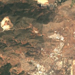
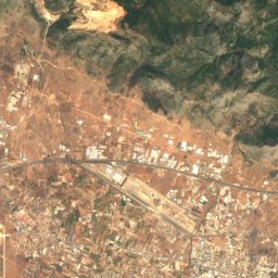
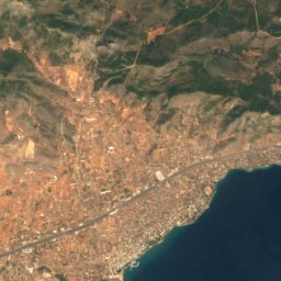
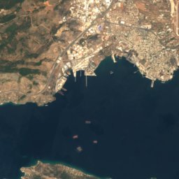
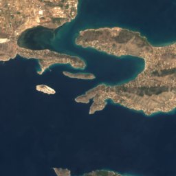
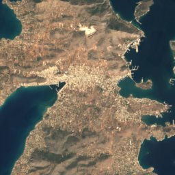
Satellite: Sentinel-2 cloudless 2016 by EOX IT Services GmbH · CC BY 4.0 · Contains modified Copernicus Sentinel data 2016
Stay nearby
Towns close by


Photo: Dimboukas at English Wikipedia · Public domain · Wikimedia CommonsReport this photo · linked, not stored
Asteroskopeio
Attica · 5.0 km NE
24°Oct high
6wet days
85score

Photo: Thomas Wolf, www.foto-tw.de · CC BY-SA 3.0 de · Wikimedia CommonsReport this photo · linked, not stored
Athens
Attica · 6.4 km NE
24°Oct high
6wet days
85score

Around here
Piraeus and around
Nature


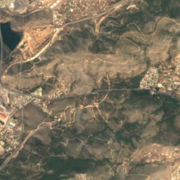
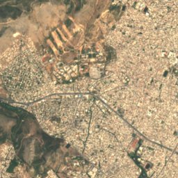
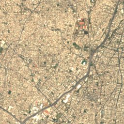
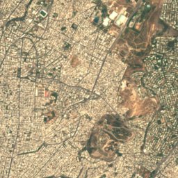
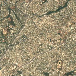
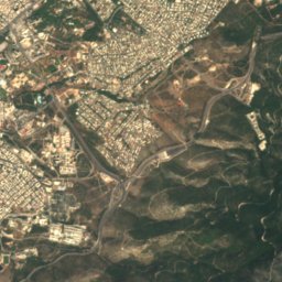
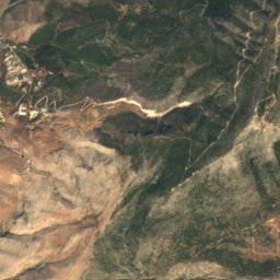
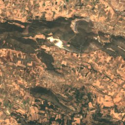
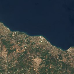
Satellite: Sentinel-2 cloudless 2016 by EOX IT Services GmbH · CC BY 4.0 · Contains modified Copernicus Sentinel data 2016
Cave of Apollo Ipakrion
Cave
Mountains
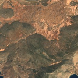
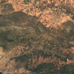
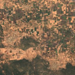
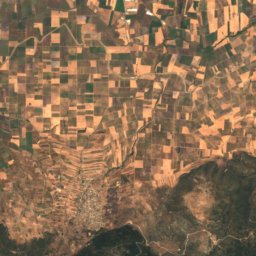
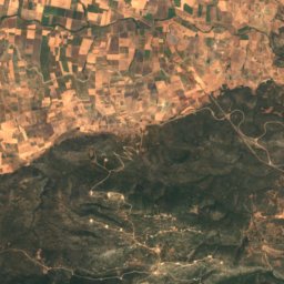
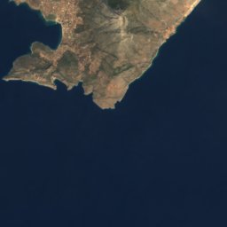
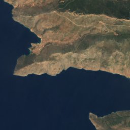
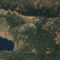
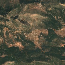
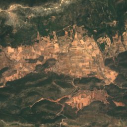

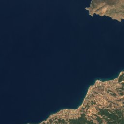
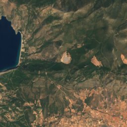
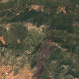
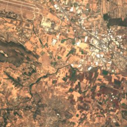
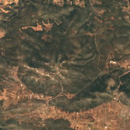
Satellite: Sentinel-2 cloudless 2016 by EOX IT Services GmbH · CC BY 4.0 · Contains modified Copernicus Sentinel data 2016
Mount Pateras
1,131 m
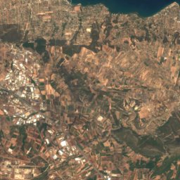
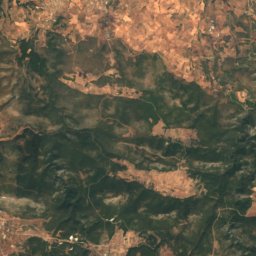
Satellite: Sentinel-2 cloudless 2016 by EOX IT Services GmbH · CC BY 4.0 · Contains modified Copernicus Sentinel data 2016
Penteliko Mountain
1,109 m
Heritage


St Nicolas Church of Piraeus
protected building in Greece · 1879

Drapetsona Fertilizer Factory
protected building in Greece · 1909
Museums

Archaeological Museum of Piraeus
Archaeological museum · 1935

Photo: http://en.wikipedia.org/wiki/User_talk:Pmoshs · CC BY-SA 3.0 · Wikimedia CommonsReport this photo · linked, not stored
Greek cruiser Georgios Averof
Museum ship


