Skip to content
Destinations
Weather & climate
Nature
Outdoors
Culture
Events
Sky & live
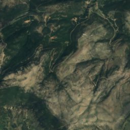
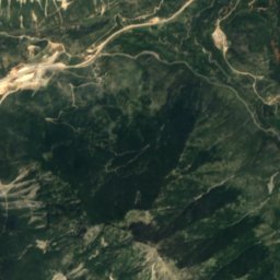
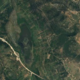
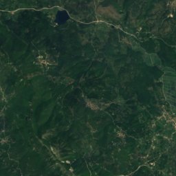
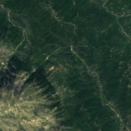
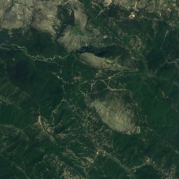
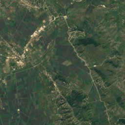
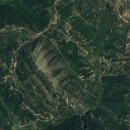
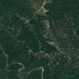
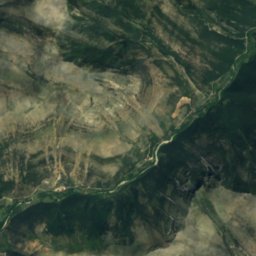
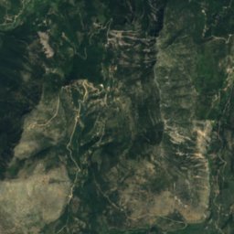
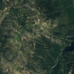
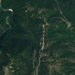
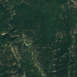
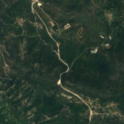
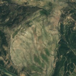
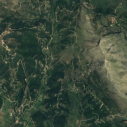
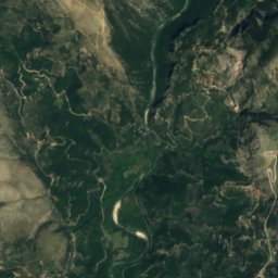
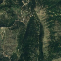
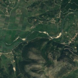
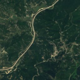
Satellite: Sentinel-2 cloudless 2016 by EOX IT Services GmbH · CC BY 4.0 · Contains modified Copernicus Sentinel data 2016
Tyria
Photo: Ristin.9 · CC BY-SA 4.0 · Wikimedia Commons
TyriaReport this photo · linked, not stored
Tyria
Acheron
Photo: Samuli Lintula · CC BY 2.5 · Wikimedia Commons
AcheronReport this photo · linked, not stored
Acheron
Tomaros
Photo: Marcus Cyron · CC BY-SA 3.0 · Wikimedia Commons
TomarosReport this photo · linked, not stored
Tomaros
WaterfallNeraida, Epirus

Balta of Striga

WaterfallBest Apr–May · Oct
Elevation–above sea level
Height970 mof the falls
Nearest townNeraida12 km
39.59° N, 20.55° EUTC+3 · Eastern European Summer Time
When to goNeraida · weather score
JanFebMarAprMayJunJulAugSepOctNovDec79October
Best timeApr–May · Oct
October: high / low23° / 13°
Waterfall

Balta of Striga in brief

Balta of Striga is a waterfall in Neraida, Epirus, Greece — large tufa cascade on the Kryopotamos River.

It drops 970 m.

The nearest town in the atlas is Neraida, 12 km to the SW, where the weather is best in April, May and October.

Neraida: weather and travel guide

Weather nearby now

Forecast for Neraida
23°
Sunny now
Wind7 km/h
Humidity75%
Cloud cover14%
Today
22 Oct
24°
16°
13 mm
Fri
23 Oct
24°
12°
Sat
24 Oct
23°
13°
2 mm
Sun
25 Oct
22°
13°
1 mm
Mon
26 Oct
24°
12°
1 mm

Model run 00:00 UTCRefreshed several times a day

When to go

The best months around Balta of Striga

Climate of Neraida

Month score in Neraida

Comfort, dry days and sunshine · out of 100
39
Jan
47
Feb
66
Mar
78
Apr
78
May
65
Jun
61
Jul
58
Aug
66
Sep
79
Oct
67
Nov
40
Dec
Map

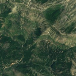
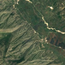
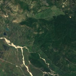
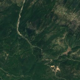
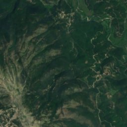
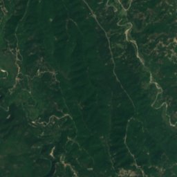
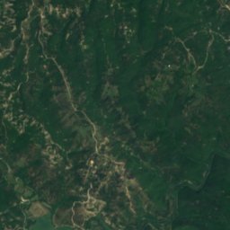
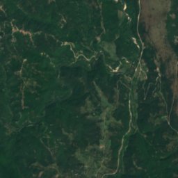
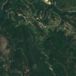
Balta of Striga from above

Nature nearbyAll of Greece
Photo: Ristin.9 · CC BY-SA 4.0 · Wikimedia CommonsReport this photo · linked, not stored
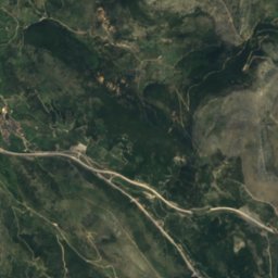
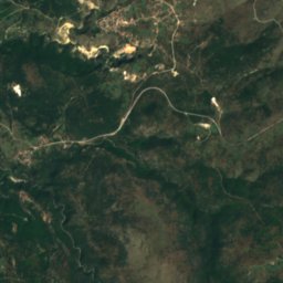
TyriaRiver8.8 kmNTyria
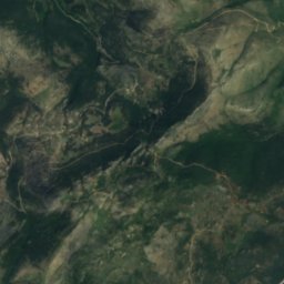
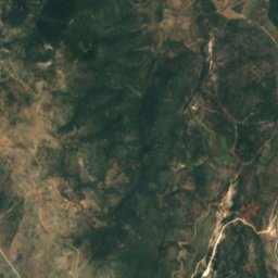
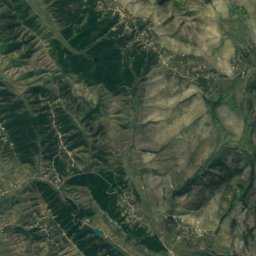
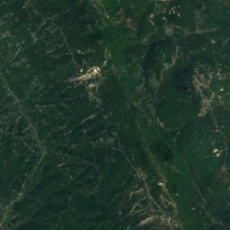
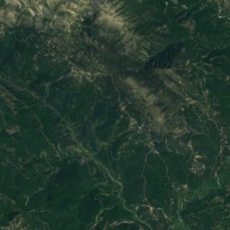
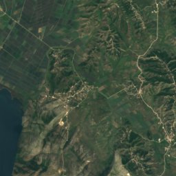
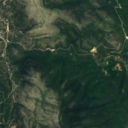
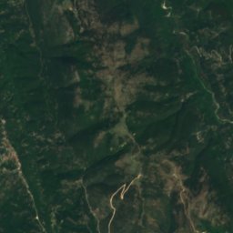
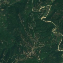
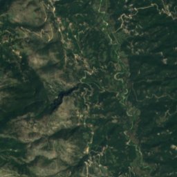
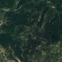
Satellite: Sentinel-2 cloudless 2016 by EOX IT Services GmbH · CC BY 4.0 · Contains modified Copernicus Sentinel data 2016
ChotkovaLake14 kmSWChotkova
Photo: Samuli Lintula · CC BY 2.5 · Wikimedia CommonsReport this photo · linked, not stored
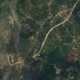
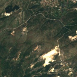
AcheronRiver17 kmSEAcheron
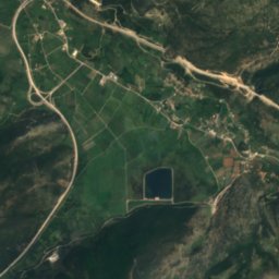
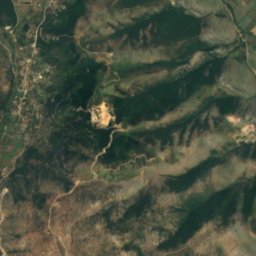
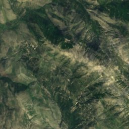
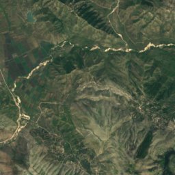
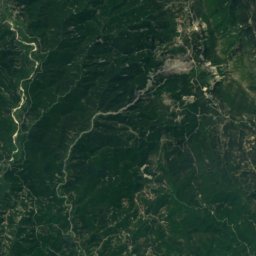
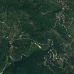
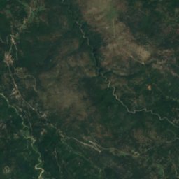
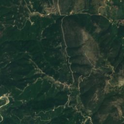
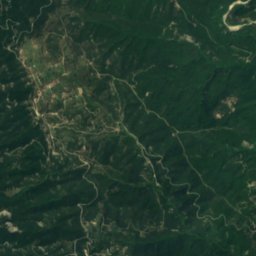
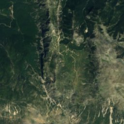
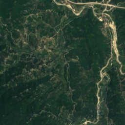
Satellite: Sentinel-2 cloudless 2016 by EOX IT Services GmbH · CC BY 4.0 · Contains modified Copernicus Sentinel data 2016
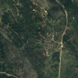
SaitaLake22 kmSSaita
Summits nearbyMountains of Greece
Photo: Marcus Cyron · CC BY-SA 3.0 · Wikimedia CommonsReport this photo · linked, not stored
Tomaros24 km SE1,974 mJuly 21°Tomaros
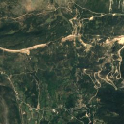
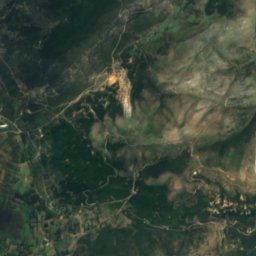
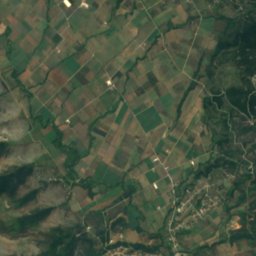
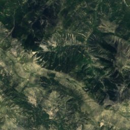
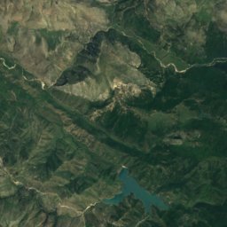
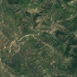
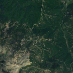
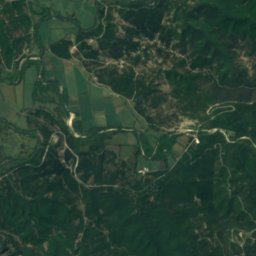
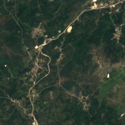
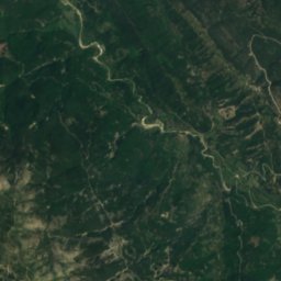
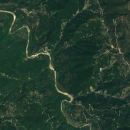
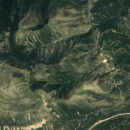
Satellite: Sentinel-2 cloudless 2016 by EOX IT Services GmbH · CC BY 4.0 · Contains modified Copernicus Sentinel data 2016
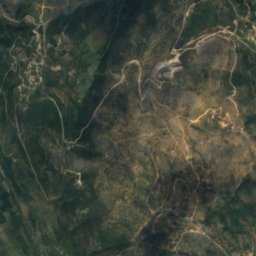
Skitari22 km NW1,401 mJuly 24°Skitari
Stay nearby

Towns close by

Neraida
Photo: Panigiamouuu LCh · CC BY 2.0 de · Wikimedia CommonsReport this photo · linked, not stored

Neraida

Epirus · 12 km SW
23°Oct high
9wet days
79score
Neraida
Paramythia
Photo: Evilemperorzorg at English Wikipedia · CC BY-SA 3.0 · Wikimedia CommonsReport this photo · linked, not stored

Paramythia

Epirus · 13 km S
21°Oct high
9wet days
79score
Paramythia
Parapotamos
Photo: Sotntetsikas · CC BY-SA 4.0 · Wikimedia CommonsReport this photo · linked, not stored

Parapotamos

Epirus · 19 km W
23°Oct high
9wet days
79score
Parapotamos
Filiátes
Photo: Vassiliki Feidopoulou · CC BY-SA 4.0 · Wikimedia CommonsReport this photo · linked, not stored

Filiátes

Epirus · 20 km W
22°Oct high
9wet days
79score
Filiátes
Around here

Neraida and around

Neraida
Photo: Panigiamouuu LCh · CC BY 2.0 de · Wikimedia CommonsReport this photo · linked, not stored

Neraida

Epirus · Greece
Apr–May · Octbest months
32°July high
57 maltitude
Neraida

Nature

Satellite: Sentinel-2 cloudless 2016 by EOX IT Services GmbH · CC BY 4.0 · Contains modified Copernicus Sentinel data 2016
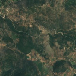
5.1 km SE

Chotkova

Lake · 187 m
Chotkova
Acheron
Photo: Samuli Lintula · CC BY 2.5 · Wikimedia CommonsReport this photo · linked, not stored
22 km E

Acheron

River · 11 m
Acheron
Tyria
Photo: Ristin.9 · CC BY-SA 4.0 · Wikimedia CommonsReport this photo · linked, not stored
18 km NE

Tyria

River
Tyria

Mountains

Tomaros
Photo: Marcus Cyron · CC BY-SA 3.0 · Wikimedia CommonsReport this photo · linked, not stored
31 km E

Tomaros

1,974 m · Pindus
Tomaros
Mourgana
Photo: Pogoniani village club in Athens. · Public domain · Wikimedia CommonsReport this photo · linked, not stored
29 km N

Mourgana

1,806 m
Mourgana
Satellite: Sentinel-2 cloudless 2016 by EOX IT Services GmbH · CC BY 4.0 · Contains modified Copernicus Sentinel data 2016
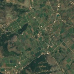
36 km NW

Maja e Shendenikut

1,572 m
Maja e Shendenikut

Heritage

Phanoteia
Photo: Sotntetsikas · CC BY-SA 4.0 · Wikimedia CommonsReport this photo · linked, not stored
6.9 km W

Phanoteia

archaeological site in Greece
Phanoteia