
Photo: Sotntetsikas · CC BY-SA 4.0 · Wikimedia Commons
PhanoteiaReport this photo · linked, not stored
PhanoteiaReport this photo · linked, not stored
ancient cityParapotamos, Epirus
Phanoteia
archaeological site in Greece
Typeancient city
Built–
Best monthsApr–May · Octweather in Parapotamos
39.54° N, 20.36° EUTC+3 · Eastern European Summer Time
When to goParapotamos · weather score
Best timeApr–May · Oct
October: high / low23° / 13°
iAbout
Phanoteia in brief
Phanoteia is an ancient city in Parapotamos, Epirus, Greece.
It holds the designation archaeological site in Greece.
For a visit, the weather in Parapotamos is best in April, May and October; in October afternoons average 23°.
Facts
- Type
- ancient city
- Designation
- archaeological site in Greece
- Nearest town
- Parapotamos
- Region
- Epirus
- Coordinates
- 39.53588, 20.35527
iiLocation
Where to find it
iiiWhen to visit
Climate guideWeather in Parapotamos
Month score for sightseeing
Best Apr–May · Oct39
Jan
45
Feb
64
Mar
79
Apr
78
May
66
Jun
61
Jul
59
Aug
68
Sep
79
Oct
66
Nov
41
Dec
Around here
Parapotamos and around

Nature

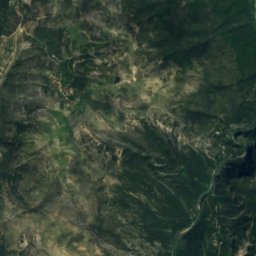
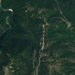
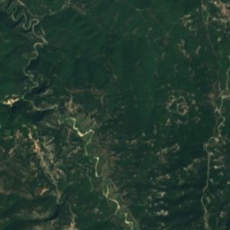
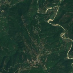
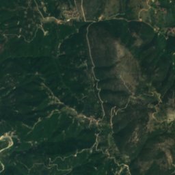
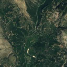
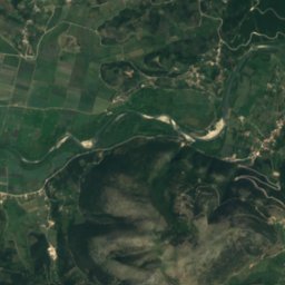
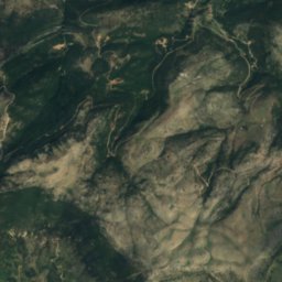
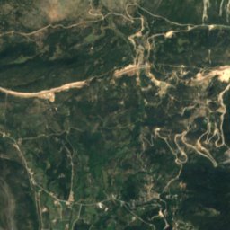
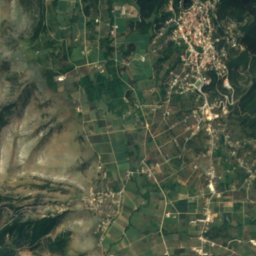
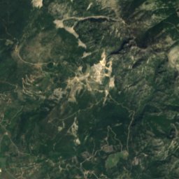
Satellite: Sentinel-2 cloudless 2016 by EOX IT Services GmbH · CC BY 4.0 · Contains modified Copernicus Sentinel data 2016
Balta of Striga
Waterfall
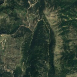
Mountains

Photo: Pogoniani village club in Athens. · Public domain · Wikimedia CommonsReport this photo · linked, not stored
Mourgana
1,806 m
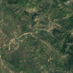
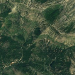
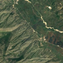
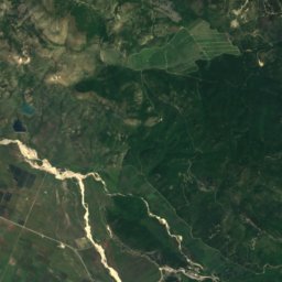
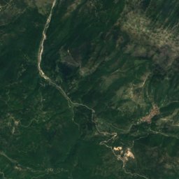
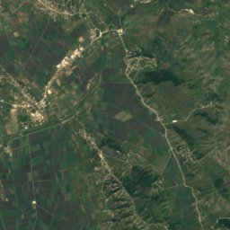
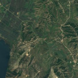
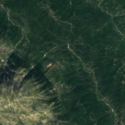
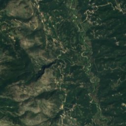
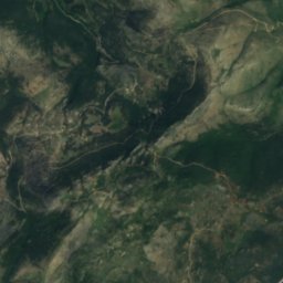
Satellite: Sentinel-2 cloudless 2016 by EOX IT Services GmbH · CC BY 4.0 · Contains modified Copernicus Sentinel data 2016
Maja e Shendenikut
1,572 m
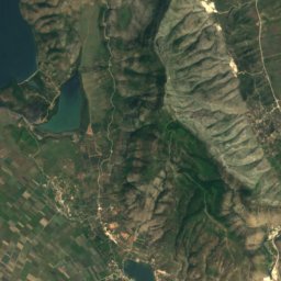
Heritage


Photo: Vassiliki Feidopoulou · CC BY-SA 4.0 · Wikimedia CommonsReport this photo · linked, not stored
Monastery of Gyromeri
archaeological site in Greece
Museums







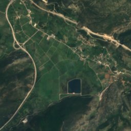
Satellite: Sentinel-2 cloudless 2016 by EOX IT Services GmbH · CC BY 4.0 · Contains modified Copernicus Sentinel data 2016
Archaeological Museum of Igoumenitsa
Archaeological museum