
Photo: © Freak-Line-Community / Wikimedia Commons · CC BY-SA 3.0 · Wikimedia Commons
Streu, ThuringiaReport this photo · linked, not stored
Streu, ThuringiaReport this photo · linked, not stored

Photo: Jörg Braukmann · CC BY-SA 4.0 · Wikimedia Commons
Eisenacher HausReport this photo · linked, not stored
Eisenacher HausEisenacher HausReport this photo · linked, not stored

Photo: Pascal Dihé / www.dihe.eu / CC BY-SA 4.0 · CC BY-SA 4.0 · Wikimedia Commons
Eis-GrabenReport this photo · linked, not stored
Eis-GrabenEis-GrabenReport this photo · linked, not stored

Photo: Jörg Braukmann · CC BY-SA 4.0 · Wikimedia Commons
WasserkuppeReport this photo · linked, not stored
WasserkuppeWasserkuppeReport this photo · linked, not stored

Photo: Dieter Schmitt, Fulda (DSC) · CC BY 3.0 · Wikimedia Commons
DammersfeldkuppeReport this photo · linked, not stored
DammersfeldkuppeDammersfeldkuppeReport this photo · linked, not stored
RiverFrankenheim, Thuringia
Streu, Thuringia
RiverBest Jun–Aug
Elevation–above sea level
Length35 kmsource to mouth
Nearest townFrankenheim2.9 km
50.57° N, 10.09° EUTC+2 · Central European Summer Time
When to goFrankenheim · weather score
Best timeJun–Aug
October: high / low10° / 4°
River
Streu, Thuringia in brief
Streu, Thuringia is a river in Frankenheim, Thuringia, Germany.
The nearest town is Frankenheim, 2.9 km to the SW, where the weather is best in June, July and August.
Streu, Thuringia is 35 km long.
Weather nearby now
Forecast for Frankenheim4°
Cloudy now
Today
24 Oct
5°
2°
5 mm
Sun
25 Oct
8°
4°
30 mm
Mon
26 Oct
7°
3°
2 mm
Tue
27 Oct
11°
5°
2 mm
Wed
28 Oct
9°
4°
1 mm
Model run 12:00 UTCRefreshed several times a day
The course of the river
As mapped in OpenStreetMap, with the towns along its banks.- 1Fladungen414 m
- 2Hausen458 m
- 3Nordheim vor der Rhön328 m
- 4Sondheim vor der Rhön358 m
- 5Ostheim313 m
- 6Stockheim299 m
- 7Mellrichstadt280 m
- 8Oberstreu258 m
- 9Unsleben253 m
- 10Wollbach262 m
- 11Heustreu251 m
sourcemouth (or where the mapped line leaves the country)
When to go
Climate of FrankenheimThe best months around Streu, Thuringia
Month score in Frankenheim
Comfort, dry days and sunshine · out of 10010
Jan
18
Feb
18
Mar
33
Apr
47
May
62
Jun
62
Jul
65
Aug
54
Sep
22
Oct
13
Nov
8
Dec
Map
Streu, Thuringia from above
Nature nearbyAll of Germany

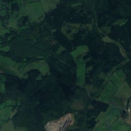
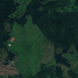
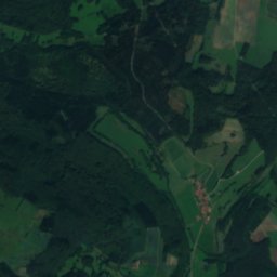
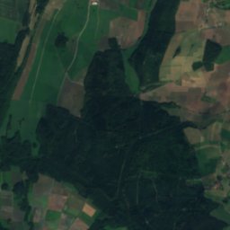
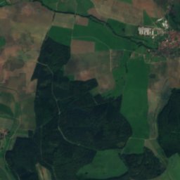
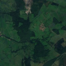
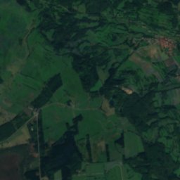
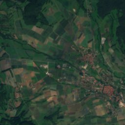
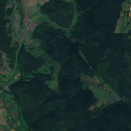
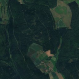
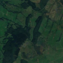
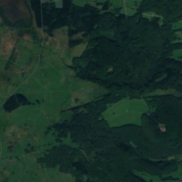
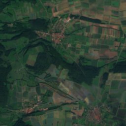
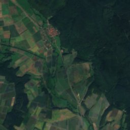
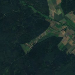
Satellite: Sentinel-2 cloudless 2016 by EOX IT Services GmbH · CC BY 4.0 · Contains modified Copernicus Sentinel data 2016
Satellite: Sentinel-2 cloudless 2016 by EOX IT Services GmbH · CC BY 4.0 · Contains modified Copernicus Sentinel data 2016
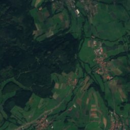
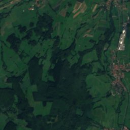
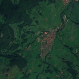
Satellite: Sentinel-2 cloudless 2016 by EOX IT Services GmbH · CC BY 4.0 · Contains modified Copernicus Sentinel data 2016
Satellite: Sentinel-2 cloudless 2016 by EOX IT Services GmbH · CC BY 4.0 · Contains modified Copernicus Sentinel data 2016

Photo: Pascal Dihé / www.dihe.eu / CC BY-SA 4.0 · CC BY-SA 4.0 · Wikimedia CommonsReport this photo · linked, not stored
Summits nearbyMountains of Germany


Photo: Dieter Schmitt, Fulda (DSC) · CC BY 3.0 · Wikimedia CommonsReport this photo · linked, not stored


Photo: Dieter Schmitt, Fulda DSC · CC BY 3.0 · Wikimedia CommonsReport this photo · linked, not stored

Stay nearby
Towns close by


Photo: Foto: Störfix, Lizenz: Creative Commons by-sa 3.0 de · CC BY-SA 3.0 de · Wikimedia CommonsReport this photo · linked, not stored
Erbenhausen
Thuringia · 4.2 km E
12°Oct high
12wet days
32score

Around here
Frankenheim and around
Nature


Photo: Pascal Dihé / www.dihe.eu / CC BY-SA 4.0 · CC BY-SA 4.0 · Wikimedia CommonsReport this photo · linked, not stored
Eis-Graben
River · 386 m
Mountains
Photo: Dieter Schmitt, Fulda (DSC) · CC BY 3.0 · Wikimedia CommonsReport this photo · linked, not stored
Dammersfeldkuppe
928 m · Rhön Mountains

Heritage

Photo: Commander-pirx at German Wikipedia · CC BY-SA 4.0 · Wikimedia CommonsReport this photo · linked, not stored
Kuratiekirche, Frankenheim
architectural heritage monument in Bavaria


Museums

Photo: Wo st 01 / Wikimedia Commons · CC BY-SA 3.0 de · Wikimedia CommonsReport this photo · linked, not stored

The German Gliding Museum
Aviation museum · 1987

Photo: Fränkisches Freilandmuseum Fladungen · CC BY-SA 4.0 · Wikimedia CommonsReport this photo · linked, not stored

Fränkisches Freilandmuseum Fladungen
Open-air museum

Photo: Bybbisch94, Christian Gebhardt · CC BY-SA 4.0 · Wikimedia CommonsReport this photo · linked, not stored
