Skip to content
Destinations
Weather & climate
Nature
Outdoors
Culture
Events
Sky & live
Lütter
Photo: Dreizung · Public domain · Wikimedia Commons
LütterReport this photo · linked, not stored
Guckaisee
Photo: Rudolf Simon · Public domain · Wikimedia Commons
GuckaiseeReport this photo · linked, not stored
Guckaisee
Enzianhütte
Photo: Presse03 · CC BY-SA 3.0 · Wikimedia Commons
EnzianhütteReport this photo · linked, not stored
Enzianhütte
Haune
Photo: 2micha · CC BY-SA 3.0 · Wikimedia Commons
HauneReport this photo · linked, not stored
Haune
Würzburger Bergbund-Hütte
Photo: Wolfgang Greubel · CC BY-SA 4.0 · Wikimedia Commons
Würzburger Bergbund-HütteReport this photo · linked, not stored
Würzburger Bergbund-Hütte
RiverGersfeld, Hesse

Lütter

RiverBest Jun · Aug–Sep
Elevation–above sea level
Length18 kmsource to mouth
Nearest townGersfeld4.4 km
50.49° N, 9.93° EUTC+2 · Central European Summer Time
When to goGersfeld · weather score
JanFebMarAprMayJunJulAugSepOctNovDec31October
Best timeJun · Aug–Sep
October: high / low12° / 5°
River

Lütter in brief

Lütter is a river in Gersfeld, Hesse, Germany.

The nearest town in the atlas is Gersfeld, 4.4 km to the S, where the weather is best in June, August and September.

Lütter is 18 km long.

Gersfeld: weather and travel guide

Weather nearby now

Forecast for Gersfeld
7°
Cloudy now
Wind12 km/h
Humidity85%
Cloud cover77%
Today
23 Oct
9°
4°
4 mm
Sat
24 Oct
7°
2°
10 mm
Sun
25 Oct
10°
4°
30 mm
Mon
26 Oct
9°
4°
1 mm
Tue
27 Oct
14°
7°
2 mm

Model run 12:00 UTCRefreshed several times a day

The course of the river

As mapped in OpenStreetMap, with the towns of the atlas along its banks.
1
  1. 1Ebersburg344 m
sourcemouth (or where the mapped line leaves the country)
When to go

The best months around Lütter

Climate of Gersfeld

Month score in Gersfeld

Comfort, dry days and sunshine · out of 100
12
Jan
20
Feb
21
Mar
45
Apr
60
May
65
Jun
63
Jul
65
Aug
68
Sep
31
Oct
13
Nov
10
Dec
Map

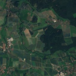
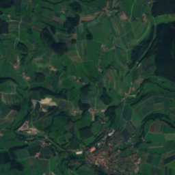
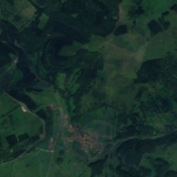
Lütter from above

Nature nearbyAll of Germany
Photo: Rudolf Simon · Public domain · Wikimedia CommonsReport this photo · linked, not stored
GuckaiseeLake0.8 kmSWGuckaisee
Photo: Presse03 · CC BY-SA 3.0 · Wikimedia CommonsReport this photo · linked, not stored
EnzianhütteMountain hut3.8 kmNEnzianhütte
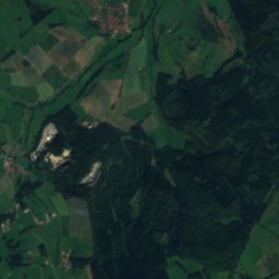
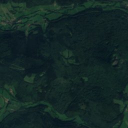
Satellite: Sentinel-2 cloudless 2016 by EOX IT Services GmbH · CC BY 4.0 · Contains modified Copernicus Sentinel data 2016
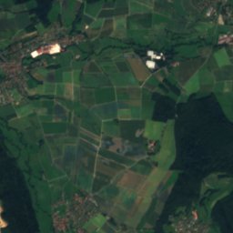
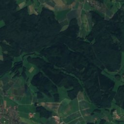
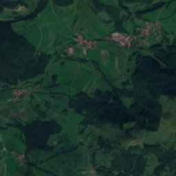
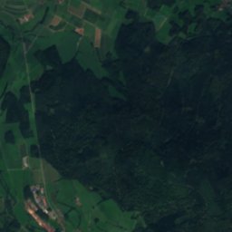
Bieber (Haune)River4.5 kmNWBieber (Haune)
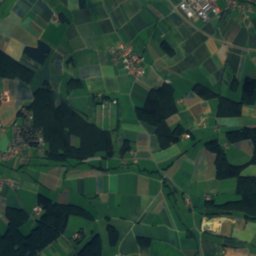
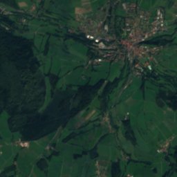
Satellite: Sentinel-2 cloudless 2016 by EOX IT Services GmbH · CC BY 4.0 · Contains modified Copernicus Sentinel data 2016
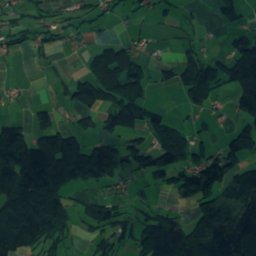
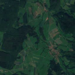
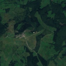
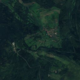
SchmalnauRiver7.8 kmSSchmalnau
Photo: 2micha · CC BY-SA 3.0 · Wikimedia CommonsReport this photo · linked, not stored
HauneRiver7.8 kmWHaune
Photo: Wolfgang Greubel · CC BY-SA 4.0 · Wikimedia CommonsReport this photo · linked, not stored
Würzburger Bergbund-HütteMountain hut7.8 kmSWürzburger Bergbund-Hütte
Summits nearbyMountains of Germany
Photo: Jörg Braukmann · CC BY-SA 4.0 · Wikimedia CommonsReport this photo · linked, not stored
Wasserkuppe1.1 km NE950 mJuly 19°Wasserkuppe
Photo: Dieter Schmitt, Fulda (DSC) · CC BY 3.0 · Wikimedia CommonsReport this photo · linked, not stored
Dammersfeldkuppe11 km SW928 mJuly 20°Dammersfeldkuppe
Photo: Jörg Braukmann · CC BY-SA 4.0 · Wikimedia CommonsReport this photo · linked, not stored
Kreuzberg (Rhön)14 km S928 mJuly 20°Kreuzberg (Rhön)
Photo: Jörg Braukmann · CC BY-SA 4.0 · Wikimedia CommonsReport this photo · linked, not stored
Heidelstein6.4 km SE926 mJuly 20°Heidelstein
Photo: Dieter Schmitt, Fulda DSC · CC BY 3.0 · Wikimedia CommonsReport this photo · linked, not stored
Eierhauckberg9.6 km S910 mJuly 20°Eierhauckberg
Photo: Kletterjojo · CC BY-SA 3.0 · Wikimedia CommonsReport this photo · linked, not stored
Abtsrodaer Kuppe1.7 km N905 mJuly 20°Abtsrodaer Kuppe
Stay nearby

Towns close by

Gersfeld
Photo: Lotron · CC BY-SA 3.0 · Wikimedia CommonsReport this photo · linked, not stored

Gersfeld

Hesse · 4.4 km S
12°Oct high
12wet days
31score
Gersfeld
Poppenhausen
Photo: Verum · CC BY-SA 3.0 · Wikimedia CommonsReport this photo · linked, not stored

Poppenhausen

Hesse · 4.5 km W
12°Oct high
12wet days
32score
Poppenhausen
Birx
Photo: Stefan Oemisch · CC BY-SA 4.0 · Wikimedia CommonsReport this photo · linked, not stored

Birx

Thuringia · 9.7 km NE
10°Oct high
12wet days
22score
Birx
Hilders
Photo: Baummapper · CC BY-SA 3.0 de · Wikimedia CommonsReport this photo · linked, not stored

Hilders

Hesse · 10 km NE
12°Oct high
12wet days
33score
Hilders
Around here

Gersfeld and around

Gersfeld
Photo: Lotron · CC BY-SA 3.0 · Wikimedia CommonsReport this photo · linked, not stored

Gersfeld

Hesse · Germany
Jun · Aug–Sepbest months
23°July high
486 maltitude
Gersfeld

Nature

Haune
Photo: 2micha · CC BY-SA 3.0 · Wikimedia CommonsReport this photo · linked, not stored
8.7 km NW

Haune

River
Haune
Guckaisee
Photo: Rudolf Simon · Public domain · Wikimedia CommonsReport this photo · linked, not stored
3.8 km N

Guckaisee

Lake · 690 m
Guckaisee
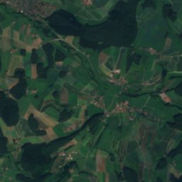
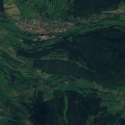
Satellite: Sentinel-2 cloudless 2016 by EOX IT Services GmbH · CC BY 4.0 · Contains modified Copernicus Sentinel data 2016
3.4 km S

Schmalnau

River
Schmalnau

Mountains

Wasserkuppe
Photo: Jörg Braukmann · CC BY-SA 4.0 · Wikimedia CommonsReport this photo · linked, not stored
5.5 km N

Wasserkuppe

950 m · Wasserkuppen Rhön
Wasserkuppe
Dammersfeldkuppe
Photo: Dieter Schmitt, Fulda (DSC) · CC BY 3.0 · Wikimedia CommonsReport this photo · linked, not stored
7.1 km SW

Dammersfeldkuppe

928 m · Rhön Mountains
Dammersfeldkuppe
Kreuzberg (Rhön)
Photo: Jörg Braukmann · CC BY-SA 4.0 · Wikimedia CommonsReport this photo · linked, not stored
10 km SE

Kreuzberg (Rhön)

928 m · Rhön Mountains
Kreuzberg (Rhön)

Heritage

Ebersburg Castle
Photo: Verum · CC BY-SA 3.0 · Wikimedia CommonsReport this photo · linked, not stored
5.1 km NW

Ebersburg Castle

cultural heritage monument in Hesse · 1100
Ebersburg Castle
Wallfahrtskirche, Motten
Photo: Scheurebe2000 · CC BY-SA 3.0 · Wikimedia CommonsReport this photo · linked, not stored
10 km SW

Wallfahrtskirche, Motten

architectural heritage monument in Bavaria
Wallfahrtskirche, Motten
St. Kilian (Oberelsbach)
Photo: User: Bbb at wikivoyage shared · CC BY-SA 1.0 · Wikimedia CommonsReport this photo · linked, not stored
15 km E

St. Kilian (Oberelsbach)

architectural heritage monument in Bavaria
St. Kilian (Oberelsbach)

Museums

The German Gliding Museum
Photo: Wo st 01 / Wikimedia Commons · CC BY-SA 3.0 de · Wikimedia CommonsReport this photo · linked, not stored
5.7 km NE

The German Gliding Museum

Aviation museum · 1987
The German Gliding Museum
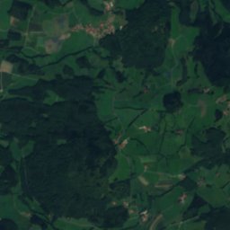
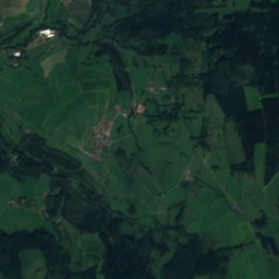
Satellite: Sentinel-2 cloudless 2016 by EOX IT Services GmbH · CC BY 4.0 · Contains modified Copernicus Sentinel data 2016
11 km N

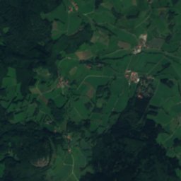
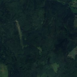
Pfundsmuseum

2001
Pfundsmuseum
Satellite: Sentinel-2 cloudless 2016 by EOX IT Services GmbH · CC BY 4.0 · Contains modified Copernicus Sentinel data 2016
5.3 km NW

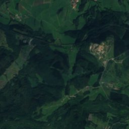
Sieblos-Museum

Sieblos-Museum