Skip to content
Destinations
Weather & climate
Nature
Outdoors
Culture
Events
Sky & live
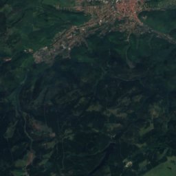
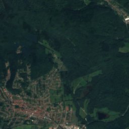
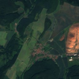
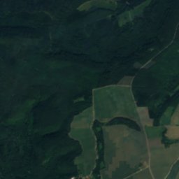
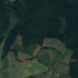
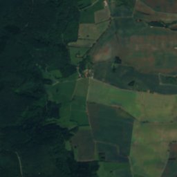
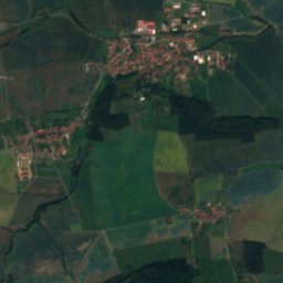
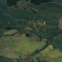
Satellite: Sentinel-2 cloudless 2016 by EOX IT Services GmbH · CC BY 4.0 · Contains modified Copernicus Sentinel data 2016
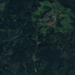
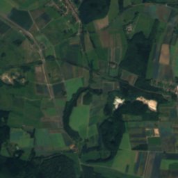
Dorfbach
Photo: Jonas aus Großwechsungen2 · CC BY-SA 4.0 · Wikimedia Commons
DorfbachReport this photo · linked, not stored
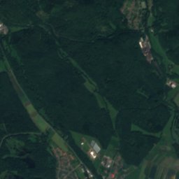
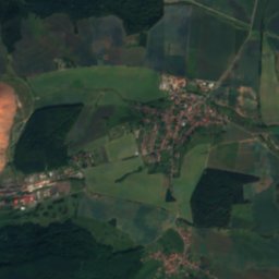
Dorfbach
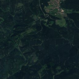
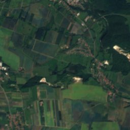
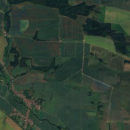
Sete
Photo: Jonas aus Großwechsungen (Diskussion) · CC BY-SA 3.0 · Wikimedia Commons
SeteReport this photo · linked, not stored
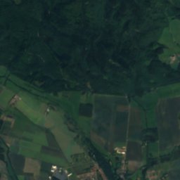
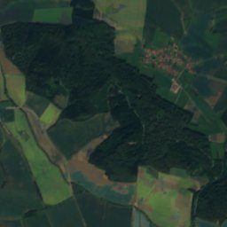
Sete
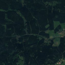
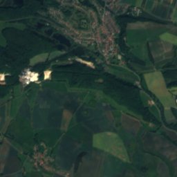
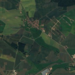
Hagebach
Photo: JaG2 · CC BY-SA 4.0 · Wikimedia Commons
HagebachReport this photo · linked, not stored
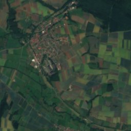
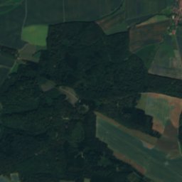
Hagebach
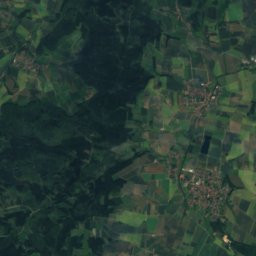
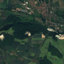
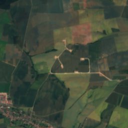
Bliedebach
Photo: CTHOE · CC BY-SA 3.0 · Wikimedia Commons
BliedebachReport this photo · linked, not stored
Bliedebach
RiverStöckey, Thuringia

Rinnebach, Thuringia

RiverBest May · Aug–Sep
Elevation–above sea level
Area–surface
Nearest townStöckey0.7 km
51.53° N, 10.51° EUTC+2 · Central European Summer Time
When to goStöckey · weather score
JanFebMarAprMayJunJulAugSepOctNovDec38October
Best timeMay · Aug–Sep
October: high / low13° / 5°
River

Rinnebach, Thuringia in brief

Rinnebach, Thuringia is a river in Stöckey, Thuringia, Germany.

The nearest town is Stöckey, 0.7 km to the NW, where the weather is best in May, August and September.

Stöckey: weather and travel guide

Weather nearby now

Forecast for Stöckey
8°
Rain now
Wind25 km/h
Humidity75%
Cloud cover100%
Today
24 Oct
10°
6°
2 mm
Sun
25 Oct
14°
7°
15 mm
Mon
26 Oct
12°
7°
Tue
27 Oct
15°
8°
2 mm
Wed
28 Oct
13°
6°

Model run 12:00 UTCRefreshed several times a day

When to go

The best months around Rinnebach, Thuringia

Climate of Stöckey

Month score in Stöckey

Comfort, dry days and sunshine · out of 100
15
Jan
22
Feb
22
Mar
52
Apr
68
May
65
Jun
64
Jul
66
Aug
70
Sep
38
Oct
17
Nov
13
Dec
Map

Rinnebach, Thuringia from above

Nature nearbyAll of Germany
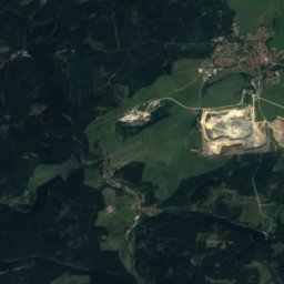
Satellite: Sentinel-2 cloudless 2016 by EOX IT Services GmbH · CC BY 4.0 · Contains modified Copernicus Sentinel data 2016
HellegrundbachRiver3.3 kmNHellegrundbach
Photo: Jonas aus Großwechsungen2 · CC BY-SA 4.0 · Wikimedia CommonsReport this photo · linked, not stored
DorfbachRiver3.5 kmSEDorfbach
Photo: Jonas aus Großwechsungen (Diskussion) · CC BY-SA 3.0 · Wikimedia CommonsReport this photo · linked, not stored
SeteRiver5.6 kmESete
Photo: JaG2 · CC BY-SA 4.0 · Wikimedia CommonsReport this photo · linked, not stored
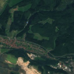
HagebachRiver5.8 kmSHagebach
Satellite: Sentinel-2 cloudless 2016 by EOX IT Services GmbH · CC BY 4.0 · Contains modified Copernicus Sentinel data 2016
WeingartenlochCave5.8 kmNWeingartenloch
Photo: CTHOE · CC BY-SA 3.0 · Wikimedia CommonsReport this photo · linked, not stored
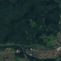
BliedebachRiver6.2 kmEBliedebach
Summits nearbyMountains of Germany
Photo: Kassandro · CC BY-SA 3.0 · Wikimedia CommonsReport this photo · linked, not stored
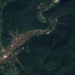
Rehberg (Harz)23 km N894 mJuly 18°Rehberg (Harz)
Photo: Waldmaus · CC BY-SA 3.0 · Wikimedia CommonsReport this photo · linked, not stored
Auf dem Acker25 km N865 mJuly 19°Auf dem Acker
Satellite: Sentinel-2 cloudless 2016 by EOX IT Services GmbH · CC BY 4.0 · Contains modified Copernicus Sentinel data 2016
Kleiner Sonnenberg24 km N853 mJuly 19°Kleiner Sonnenberg
Satellite: Sentinel-2 cloudless 2016 by EOX IT Services GmbH · CC BY 4.0 · Contains modified Copernicus Sentinel data 2016
Haspelkopf23 km NW749 mJuly 20°Haspelkopf
Satellite: Sentinel-2 cloudless 2016 by EOX IT Services GmbH · CC BY 4.0 · Contains modified Copernicus Sentinel data 2016
Kuppe22 km N729 mJuly 20°Kuppe
Photo: Ogmios · CC0 · Wikimedia CommonsReport this photo · linked, not stored
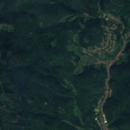
Jordanshöhe21 km N726 mJuly 20°Jordanshöhe
Stay nearby

Towns close by

Stöckey
Photo: CTHOE · CC BY-SA 3.0 · Wikimedia CommonsReport this photo · linked, not stored

Stöckey

Thuringia · 0.7 km NW
13°Oct high
12wet days
38score
Stöckey
Steinrode
Photo: Wikswat · CC BY 3.0 · Wikimedia CommonsReport this photo · linked, not stored

Steinrode

Thuringia · 3.4 km S
13°Oct high
12wet days
37score
Steinrode
Bischofferode
Photo: Gampe · Public domain · Wikimedia CommonsReport this photo · linked, not stored

Bischofferode

Thuringia · 6.0 km SW
13°Oct high
12wet days
35score
Bischofferode
Weißenborn-Lüderode
Photo: Goegeo · CC BY-SA 3.0 · Wikimedia CommonsReport this photo · linked, not stored

Weißenborn-Lüderode

Thuringia · 6.4 km W
13°Oct high
12wet days
38score
Weißenborn-Lüderode
Around here

Stöckey and around

Stöckey
Photo: CTHOE · CC BY-SA 3.0 · Wikimedia CommonsReport this photo · linked, not stored

Stöckey

Thuringia · Germany
May · Aug–Sepbest months
24°July high
235 maltitude
Stöckey

Nature

Oder
Photo: Tola69 · CC BY-SA 3.0 · Wikimedia CommonsReport this photo · linked, not stored
12 km NW

Oder

River
Oder
Ichte
Photo: Jonas aus Großwechsungen (Diskussion) · Public domain · Wikimedia CommonsReport this photo · linked, not stored
8.8 km E

Ichte

River
Ichte
Bode, Thuringia
Photo: Archiv45 at de.wikipedia · CC BY-SA 3.0 · Wikimedia CommonsReport this photo · linked, not stored
12 km SE

Bode, Thuringia

River · 220 m
Bode, Thuringia

Mountains

Brocken
Photo: Rosa-Maria Rinkl · CC BY-SA 4.0 · Wikimedia CommonsReport this photo · linked, not stored
31 km N

Brocken

1,141 m · Harz
Brocken
Satellite: Sentinel-2 cloudless 2016 by EOX IT Services GmbH · CC BY 4.0 · Contains modified Copernicus Sentinel data 2016
30 km N

Heinrichshöhe

1,045 m · Harz
Heinrichshöhe
Satellite: Sentinel-2 cloudless 2016 by EOX IT Services GmbH · CC BY 4.0 · Contains modified Copernicus Sentinel data 2016
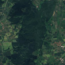
29 km N

Königsberg (Brocken)

1,034 m · Harz
Königsberg (Brocken)

Heritage

Protestant Church, Stöckey
Photo: Holger Zürch · CC BY-SA 3.0 · Wikimedia CommonsReport this photo · linked, not stored
1.9 km NE

Protestant Church, Stöckey

Heritage monument in Thuringia
Protestant Church, Stöckey
Church Stöckey
Photo: Kassandro · CC BY-SA 3.0 · Wikimedia CommonsReport this photo · linked, not stored
under 100 m N

Church Stöckey

Heritage monument in Thuringia
Church Stöckey
St. Jacobi, Steinrode
Photo: Wikswat · CC BY 3.0 · Wikimedia CommonsReport this photo · linked, not stored
2.5 km S

St. Jacobi, Steinrode

Heritage monument in Thuringia
St. Jacobi, Steinrode

Museums

Glasmuseum Steina
Photo: Migebert · CC BY-SA 3.0 · Wikimedia CommonsReport this photo · linked, not stored
6.7 km N

Glasmuseum Steina

1993
Glasmuseum Steina
Grenzlandmuseum Bad Sachsa
Photo: Matthias Merkermann · CC BY-SA 4.0 · Wikimedia CommonsReport this photo · linked, not stored
8.0 km NE

Grenzlandmuseum Bad Sachsa

1992
Grenzlandmuseum Bad Sachsa
Satellite: Sentinel-2 cloudless 2016 by EOX IT Services GmbH · CC BY 4.0 · Contains modified Copernicus Sentinel data 2016
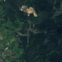
12 km SE

Heimatmuseum Bleicherode

Heimatmuseum Bleicherode