
Photo: Jonas aus Großwechsungen (Diskussion) · CC BY-SA 3.0 · Wikimedia Commons
SeteReport this photo · linked, not stored
SeteReport this photo · linked, not stored
 Bliedebach

Photo: Jonas aus Großwechsungen (Diskussion) · Public domain · Wikimedia Commons
IchteReport this photo · linked, not stored
IchteIchteReport this photo · linked, not stored

Photo: Jonas aus Großwechsungen2 · CC BY-SA 4.0 · Wikimedia Commons
DorfbachReport this photo · linked, not stored
DorfbachDorfbachReport this photo · linked, not stored

Photo: Jonas aus Großwechsungen (Diskussion) · Public domain · Wikimedia Commons
SchlerngrabenReport this photo · linked, not stored
SchlerngrabenSchlerngrabenReport this photo · linked, not stored
RiverKehmstedt, Thuringia
Sete
RiverBest May · Aug–Sep
Elevation–above sea level
Length9.5 kmsource to mouth
Nearest townKehmstedt5.5 km
51.52° N, 10.59° EUTC+2 · Central European Summer Time
When to goKehmstedt · weather score
Best timeMay · Aug–Sep
October: high / low13° / 5°
River
Sete in brief
Sete is a river in Kehmstedt, Thuringia, Germany.
The nearest town in the atlas is Kehmstedt, 5.5 km to the S, where the weather is best in May, August and September.
Sete is 9.5 km long.
Weather nearby now
Forecast for Kehmstedt7°
Cloudy now
Today
23 Oct
12°
6°
1 mm
Sat
24 Oct
10°
5°
5 mm
Sun
25 Oct
14°
7°
16 mm
Mon
26 Oct
12°
6°
1 mm
Tue
27 Oct
16°
8°
1 mm
Model run 12:00 UTCRefreshed several times a day
When to go
Climate of KehmstedtThe best months around Sete
Month score in Kehmstedt
Comfort, dry days and sunshine · out of 10015
Jan
18
Feb
20
Mar
51
Apr
65
May
63
Jun
65
Jul
66
Aug
70
Sep
38
Oct
16
Nov
13
Dec
Map
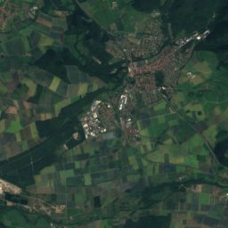
Sete from above
Nature nearbyAll of Germany

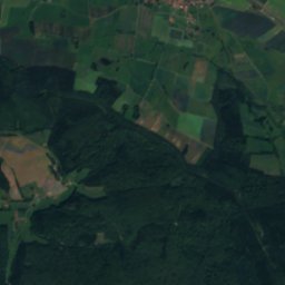
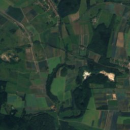
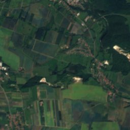
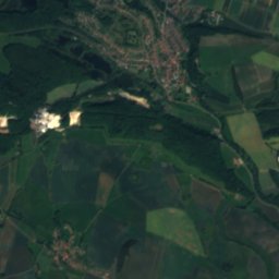
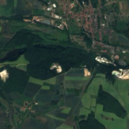
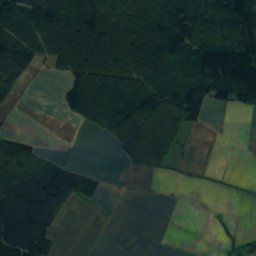
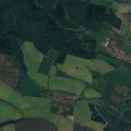
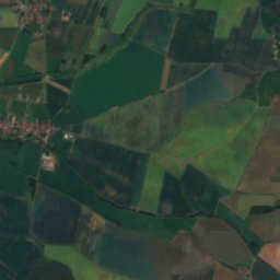
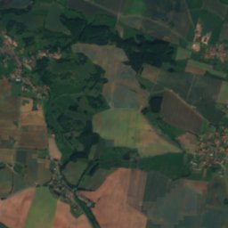
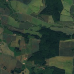
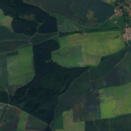
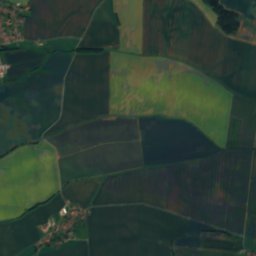
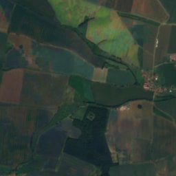
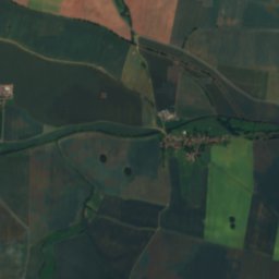
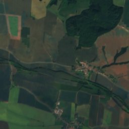
Satellite: Sentinel-2 cloudless 2016 by EOX IT Services GmbH · CC BY 4.0 · Contains modified Copernicus Sentinel data 2016

Photo: Jonas aus Großwechsungen (Diskussion) · Public domain · Wikimedia CommonsReport this photo · linked, not stored

Photo: Jonas aus Großwechsungen2 · CC BY-SA 4.0 · Wikimedia CommonsReport this photo · linked, not stored
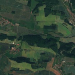
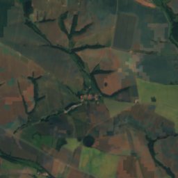
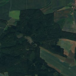
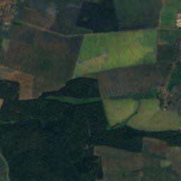
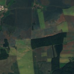
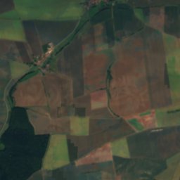
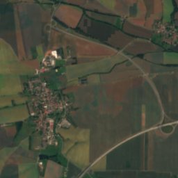
Satellite: Sentinel-2 cloudless 2016 by EOX IT Services GmbH · CC BY 4.0 · Contains modified Copernicus Sentinel data 2016

Photo: Jonas aus Großwechsungen (Diskussion) · Public domain · Wikimedia CommonsReport this photo · linked, not stored
Summits nearbyMountains of Germany

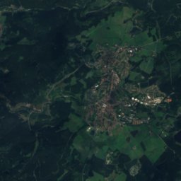
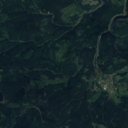
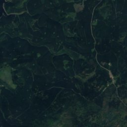
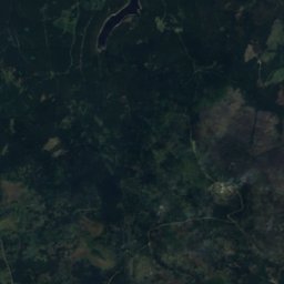
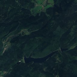
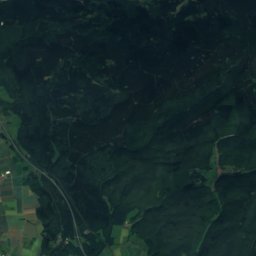
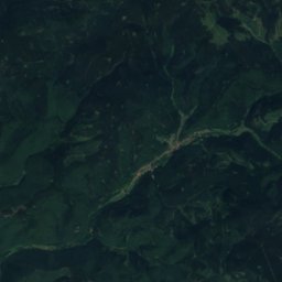
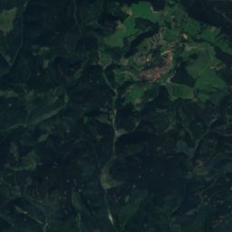
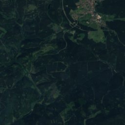
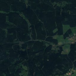
Satellite: Sentinel-2 cloudless 2016 by EOX IT Services GmbH · CC BY 4.0 · Contains modified Copernicus Sentinel data 2016

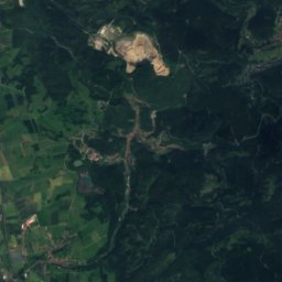
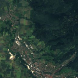
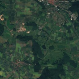
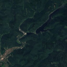
Satellite: Sentinel-2 cloudless 2016 by EOX IT Services GmbH · CC BY 4.0 · Contains modified Copernicus Sentinel data 2016

Stay nearby
Towns close by


Around here
Kehmstedt and around
Nature

Photo: Archiv45 at de.wikipedia · CC BY-SA 3.0 · Wikimedia CommonsReport this photo · linked, not stored
Bode, Thuringia
River · 220 m
Photo: Jonas aus Großwechsungen (Diskussion) · Public domain · Wikimedia CommonsReport this photo · linked, not stored
Ichte
River

Mountains

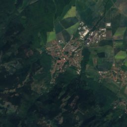
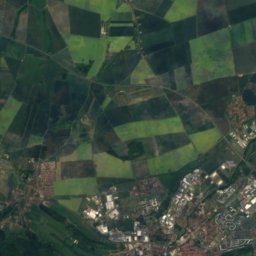
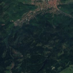
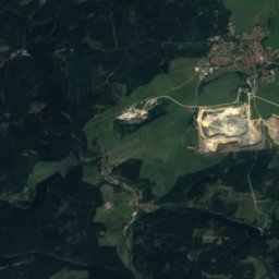
Satellite: Sentinel-2 cloudless 2016 by EOX IT Services GmbH · CC BY 4.0 · Contains modified Copernicus Sentinel data 2016
Heinrichshöhe
1,045 m · Harz
Satellite: Sentinel-2 cloudless 2016 by EOX IT Services GmbH · CC BY 4.0 · Contains modified Copernicus Sentinel data 2016
Königsberg (Brocken)
1,034 m · Harz
Heritage


Museums
Satellite: Sentinel-2 cloudless 2016 by EOX IT Services GmbH · CC BY 4.0 · Contains modified Copernicus Sentinel data 2016
Mittelbau-Dora concentration camp
Military museum


