Skip to content
Destinations
Weather & climate
Nature
Outdoors
Culture
Events
Sky & live
Reichenbach, Thuringia
Photo: Michael Sander · CC BY-SA 3.0 · Wikimedia Commons
Reichenbach, ThuringiaReport this photo · linked, not stored
Zahme Gera
Photo: CTHOE · CC BY-SA 3.0 · Wikimedia Commons
Zahme GeraReport this photo · linked, not stored
Zahme Gera
Wirrbach
Photo: Michael Sander · CC BY-SA 3.0 · Wikimedia Commons
WirrbachReport this photo · linked, not stored
Wirrbach
Großer Beerberg
Photo: Elop · CC BY-SA 2.5 · Wikimedia Commons
Großer BeerbergReport this photo · linked, not stored
Großer Beerberg
Großer Finsterberg
Photo: Elop · CC BY-SA 2.5 · Wikimedia Commons
Großer FinsterbergReport this photo · linked, not stored
Großer Finsterberg
RiverPlaue, Thuringia

Reichenbach, Thuringia

RiverBest Jun · Aug–Sep
Elevation–above sea level
Length10 kmsource to mouth
Nearest townPlaue1.3 km
50.77° N, 10.90° EUTC+2 · Central European Summer Time
When to goPlaue · weather score
JanFebMarAprMayJunJulAugSepOctNovDec41October
Best timeJun · Aug–Sep
October: high / low13° / 5°
River

Reichenbach, Thuringia in brief

Reichenbach, Thuringia is a river in Plaue, Thuringia, Germany.

The nearest town in the atlas is Plaue, 1.3 km to the N, where the weather is best in June, August and September.

Reichenbach, Thuringia is 10 km long.

Plaue: weather and travel guide

Weather nearby now

Forecast for Plaue
8°
Cloudy now
Wind16 km/h
Humidity75%
Cloud cover78%
Today
23 Oct
11°
6°
2 mm
Sat
24 Oct
9°
3°
9 mm
Sun
25 Oct
12°
6°
24 mm
Mon
26 Oct
12°
6°
Tue
27 Oct
15°
8°

Model run 12:00 UTCRefreshed several times a day

When to go

The best months around Reichenbach, Thuringia

Climate of Plaue

Month score in Plaue

Comfort, dry days and sunshine · out of 100
15
Jan
24
Feb
23
Mar
52
Apr
65
May
67
Jun
64
Jul
68
Aug
71
Sep
41
Oct
20
Nov
13
Dec
Map

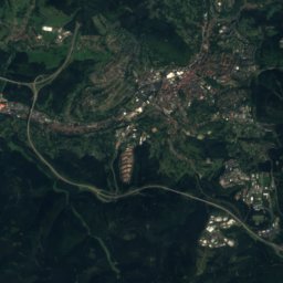
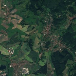
Reichenbach, Thuringia from above

Nature nearbyAll of Germany
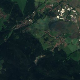
Photo: CTHOE · CC BY-SA 3.0 · Wikimedia CommonsReport this photo · linked, not stored
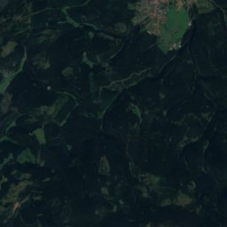
Zahme GeraRiver0.9 kmNZahme Gera
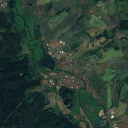
Photo: Michael Sander · CC BY-SA 3.0 · Wikimedia CommonsReport this photo · linked, not stored
WirrbachRiver3.4 kmSWWirrbach
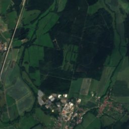
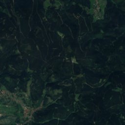
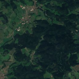
Satellite: Sentinel-2 cloudless 2016 by EOX IT Services GmbH · CC BY 4.0 · Contains modified Copernicus Sentinel data 2016
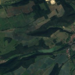
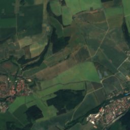
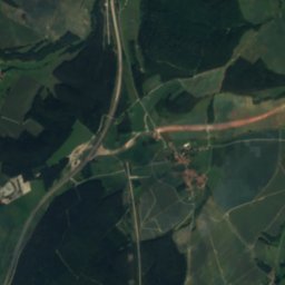
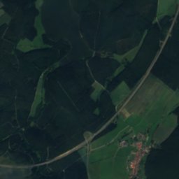
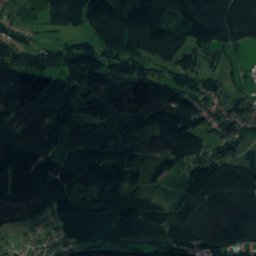
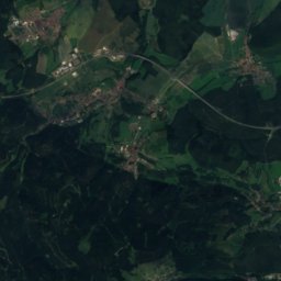
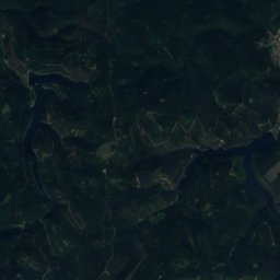
Kleiner EichelseeLake7.0 kmSEKleiner Eichelsee
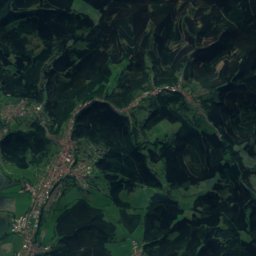
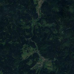
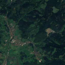
Satellite: Sentinel-2 cloudless 2016 by EOX IT Services GmbH · CC BY 4.0 · Contains modified Copernicus Sentinel data 2016
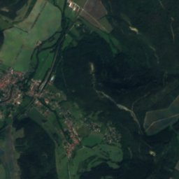
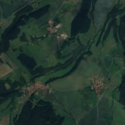
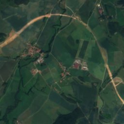
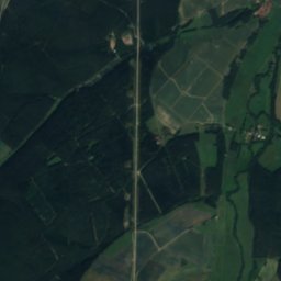
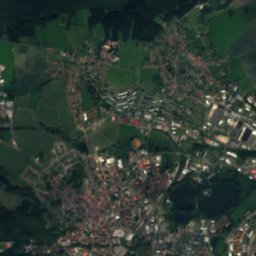
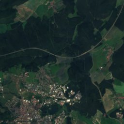
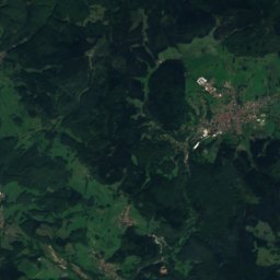
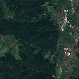
Großer EichelseeLake7.0 kmSEGroßer Eichelsee
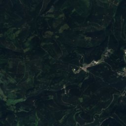
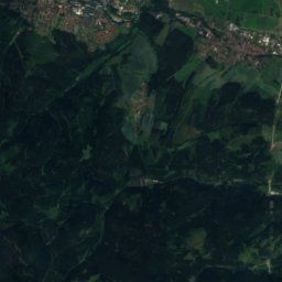
Satellite: Sentinel-2 cloudless 2016 by EOX IT Services GmbH · CC BY 4.0 · Contains modified Copernicus Sentinel data 2016
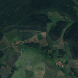
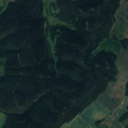
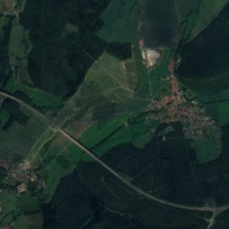
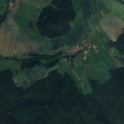
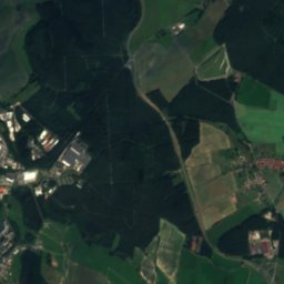
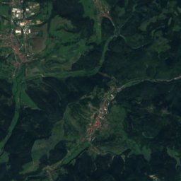
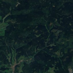
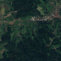
SieglitzRiver8.9 kmSWSieglitz
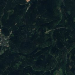
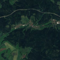
Satellite: Sentinel-2 cloudless 2016 by EOX IT Services GmbH · CC BY 4.0 · Contains modified Copernicus Sentinel data 2016
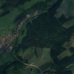
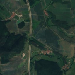
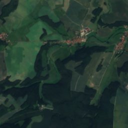
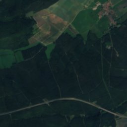
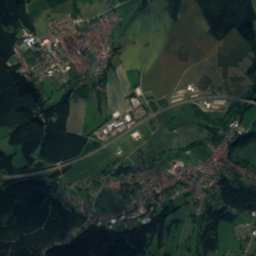
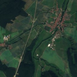
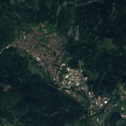
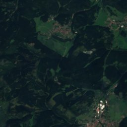
Rottenbach (Ilm)River9.2 kmSRottenbach (Ilm)
Summits nearbyMountains of Germany
Photo: Elop · CC BY-SA 2.5 · Wikimedia CommonsReport this photo · linked, not stored
Großer Beerberg16 km SW983 mJuly 19°Großer Beerberg
Photo: Elop · CC BY-SA 2.5 · Wikimedia CommonsReport this photo · linked, not stored
Großer Finsterberg16 km SW944 mJuly 19°Großer Finsterberg
Satellite: Sentinel-2 cloudless 2016 by EOX IT Services GmbH · CC BY 4.0 · Contains modified Copernicus Sentinel data 2016
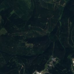
Sachsenstein15 km SW915 mJuly 20°Sachsenstein
Satellite: Sentinel-2 cloudless 2016 by EOX IT Services GmbH · CC BY 4.0 · Contains modified Copernicus Sentinel data 2016
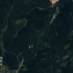
Großer Eisenberg18 km SW907 mJuly 19°Großer Eisenberg
Photo: Elop · CC BY-SA 2.5 · Wikimedia CommonsReport this photo · linked, not stored
Neuhäuser Hügel20 km SW891 mJuly 20°Neuhäuser Hügel
Satellite: Sentinel-2 cloudless 2016 by EOX IT Services GmbH · CC BY 4.0 · Contains modified Copernicus Sentinel data 2016
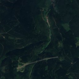
Schmalkalder Loibe23 km W886 mJuly 20°Schmalkalder Loibe
Stay nearby

Towns close by

Plaue
Photo: Michael Sander · CC BY-SA 3.0 · Wikimedia CommonsReport this photo · linked, not stored

Plaue

Thuringia · 1.3 km N
13°Oct high
11wet days
41score
Plaue
Liebenstein
Photo: Michael Sander · CC BY-SA 3.0 · Wikimedia CommonsReport this photo · linked, not stored

Liebenstein

Thuringia · 3.4 km W
13°Oct high
11wet days
39score
Liebenstein
Martinroda
Photo: Michael Sander · CC BY-SA 3.0 · Wikimedia CommonsReport this photo · linked, not stored

Martinroda

Thuringia · 4.9 km S
13°Oct high
11wet days
39score
Martinroda
Gossel
Photo: logoe · CC BY-SA 3.0 · Wikimedia CommonsReport this photo · linked, not stored

Gossel

Thuringia · 5.0 km NW
13°Oct high
11wet days
38score
Gossel
Around here

Plaue and around

Plaue
Photo: Michael Sander · CC BY-SA 3.0 · Wikimedia CommonsReport this photo · linked, not stored

Plaue

Thuringia · Germany
Jun · Aug–Sepbest months
24°July high
326 maltitude
Plaue

Nature

Zahme Gera
Photo: CTHOE · CC BY-SA 3.0 · Wikimedia CommonsReport this photo · linked, not stored
0.5 km SW

Zahme Gera

River
Zahme Gera
Humbach
Photo: Michael Sander · CC BY-SA 3.0 · Wikimedia CommonsReport this photo · linked, not stored
10 km SE

Humbach

River
Humbach
Gabelbach
Photo: Michael Sander · CC BY-SA 3.0 · Wikimedia CommonsReport this photo · linked, not stored
11 km S

Gabelbach

River
Gabelbach

Mountains

Großer Beerberg
Photo: Elop · CC BY-SA 2.5 · Wikimedia CommonsReport this photo · linked, not stored
17 km SW

Großer Beerberg

983 m · Thuringian Forest
Großer Beerberg
Großer Finsterberg
Photo: Elop · CC BY-SA 2.5 · Wikimedia CommonsReport this photo · linked, not stored
17 km SW

Großer Finsterberg

944 m · Thuringian Forest
Großer Finsterberg
Großer Inselsberg
Photo: Metilsteiner · CC BY-SA 3.0 · Wikimedia CommonsReport this photo · linked, not stored
31 km W

Großer Inselsberg

917 m · Thuringian Forest
Großer Inselsberg

Heritage

St. Otmar, Plaue
Photo: Mazbln · CC BY-SA 3.0 · Wikimedia CommonsReport this photo · linked, not stored
2.4 km NE

St. Otmar, Plaue

Heritage monument in Thuringia · 1600
St. Otmar, Plaue
Ehrenburg, Plaue
Photo: Michael Sander · CC BY-SA 3.0 · Wikimedia CommonsReport this photo · linked, not stored
0.3 km W

Ehrenburg, Plaue

Heritage monument in Thuringia
Ehrenburg, Plaue
Plaue (Thür) railway station
Photo: Hugh Llewelyn · CC BY-SA 2.0 · Wikimedia CommonsReport this photo · linked, not stored
0.6 km E

Plaue (Thür) railway station

Heritage monument in Thuringia
Plaue (Thür) railway station

Museums

Kunstwanderweg Kleinbreitenbach
Photo: Giorno2 · CC BY-SA 4.0 · Wikimedia CommonsReport this photo · linked, not stored
1.6 km SE

Kunstwanderweg Kleinbreitenbach

Kunstwanderweg Kleinbreitenbach
Tobiashammer
Photo: Miebner · CC BY-SA 3.0 · Wikimedia CommonsReport this photo · linked, not stored
12 km W

Tobiashammer

1482
Tobiashammer
Deutsches Thermometermuseum Geraberg
Photo: TOMMES-WIKI · CC BY-SA 3.0 · Wikimedia CommonsReport this photo · linked, not stored
7.7 km SW

Deutsches Thermometermuseum Geraberg

Technology museum
Deutsches Thermometermuseum Geraberg