Skip to content
Destinations
Weather & climate
Nature
Outdoors
Culture
Events
Sky & live
Gabelbach
Photo: Michael Sander · CC BY-SA 3.0 · Wikimedia Commons
GabelbachReport this photo · linked, not stored
Schorte
Photo: Andysw · CC BY-SA 3.0 · Wikimedia Commons
SchorteReport this photo · linked, not stored
Schorte
Knöpfelstaler Teich
Photo: Andysw · CC BY-SA 3.0 · Wikimedia Commons
Knöpfelstaler TeichReport this photo · linked, not stored
Knöpfelstaler Teich
Jüchnitz
Photo: CTHOE · CC BY-SA 3.0 · Wikimedia Commons
JüchnitzReport this photo · linked, not stored
Jüchnitz
Großer Beerberg
Photo: Elop · CC BY-SA 2.5 · Wikimedia Commons
Großer BeerbergReport this photo · linked, not stored
Großer Beerberg
RiverIlmenau, Thuringia

Gabelbach

RiverBest Jun · Aug–Sep
Elevation–above sea level
Length3.5 kmsource to mouth
Nearest townIlmenau0.6 km
50.68° N, 10.91° EUTC+1 · Central European Standard Time
When to goIlmenau · weather score
JanFebMarAprMayJunJulAugSepOctNovDec36October
Best timeJun · Aug–Sep
October: high / low12° / 5°
River

Gabelbach in brief

Gabelbach is a river in Ilmenau, Thuringia, Germany — river.

The nearest town is Ilmenau, 0.6 km to the E, where the weather is best in June, August and September.

Gabelbach is 3.5 km long.

Ilmenau: weather and travel guide

Weather nearby now

Forecast for Ilmenau
6°
Clear now
Wind6 km/h
Humidity89%
Cloud cover2%
Today
28 Oct
11°
4°
8 mm
Thu
29 Oct
12°
1°
Fri
30 Oct
9°
4°
1 mm
Sat
31 Oct
8°
5°
1 mm
Sun
1 Nov
7°
2°
2 mm

Model run 00:00 UTCRefreshed several times a day

When to go

The best months around Gabelbach

Climate of Ilmenau

Month score in Ilmenau

Comfort, dry days and sunshine · out of 100
Map

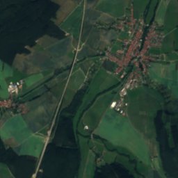
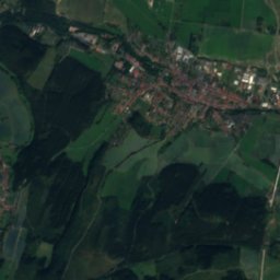
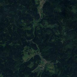
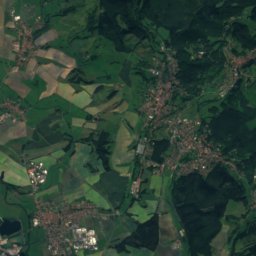
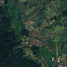
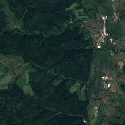
Gabelbach from above

Nature nearbyAll of Germany
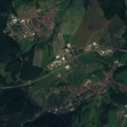
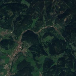
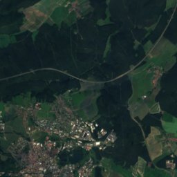
Satellite: Sentinel-2 cloudless 2016 by EOX IT Services GmbH · CC BY 4.0 · Contains modified Copernicus Sentinel data 2016
Rottenbach (Ilm)River1.8 kmERottenbach (Ilm)
Photo: Andysw · CC BY-SA 3.0 · Wikimedia CommonsReport this photo · linked, not stored
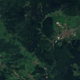
SchorteRiver2.3 kmSESchorte
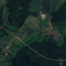
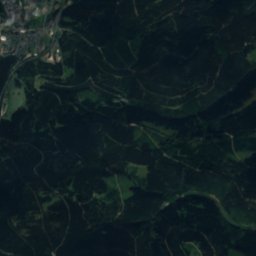
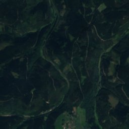
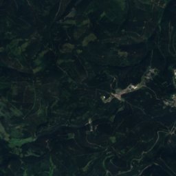
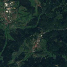
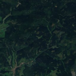
Satellite: Sentinel-2 cloudless 2016 by EOX IT Services GmbH · CC BY 4.0 · Contains modified Copernicus Sentinel data 2016
LohmeRiver4.5 kmSELohme
Photo: Andysw · CC BY-SA 3.0 · Wikimedia CommonsReport this photo · linked, not stored
Knöpfelstaler TeichLake5.2 kmSKnöpfelstaler Teich
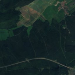
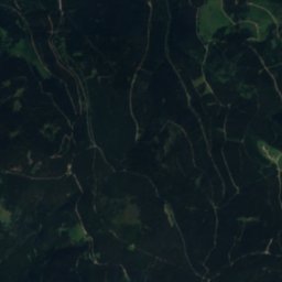
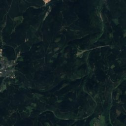
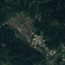
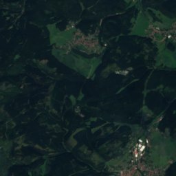
Satellite: Sentinel-2 cloudless 2016 by EOX IT Services GmbH · CC BY 4.0 · Contains modified Copernicus Sentinel data 2016
KörnbachRiver5.4 kmWKörnbach
Photo: CTHOE · CC BY-SA 3.0 · Wikimedia CommonsReport this photo · linked, not stored
JüchnitzRiver5.8 kmWJüchnitz
Summits nearbyMountains of Germany
Photo: Elop · CC BY-SA 2.5 · Wikimedia CommonsReport this photo · linked, not stored
Großer Beerberg12 km W983 mJuly 19°Großer Beerberg
Photo: Elop · CC BY-SA 2.5 · Wikimedia CommonsReport this photo · linked, not stored
Großer Finsterberg9.2 km SW944 mJuly 19°Großer Finsterberg
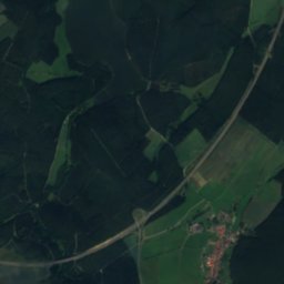
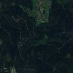
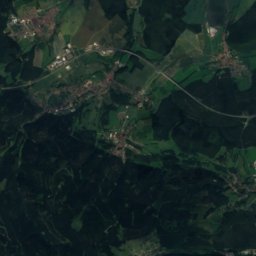
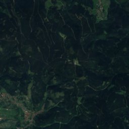
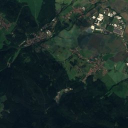
Satellite: Sentinel-2 cloudless 2016 by EOX IT Services GmbH · CC BY 4.0 · Contains modified Copernicus Sentinel data 2016
Sachsenstein9.0 km W915 mJuly 20°Sachsenstein
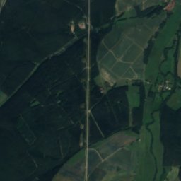
Satellite: Sentinel-2 cloudless 2016 by EOX IT Services GmbH · CC BY 4.0 · Contains modified Copernicus Sentinel data 2016
Großer Eisenberg11 km SW907 mJuly 19°Großer Eisenberg
Photo: Elop · CC BY-SA 2.5 · Wikimedia CommonsReport this photo · linked, not stored
Neuhäuser Hügel13 km SW891 mJuly 20°Neuhäuser Hügel
Satellite: Sentinel-2 cloudless 2016 by EOX IT Services GmbH · CC BY 4.0 · Contains modified Copernicus Sentinel data 2016
Schmalkalder Loibe24 km W886 mJuly 20°Schmalkalder Loibe
Stay nearby

Towns close by

Ilmenau
Photo: Michael Sander · CC BY-SA 3.0 · Wikimedia CommonsReport this photo · linked, not stored

Ilmenau

Thuringia · 0.6 km E
12°Oct high
11wet days
36score
Ilmenau
Neuhaus
Photo: Michael Sander · CC BY-SA 3.0 · Wikimedia CommonsReport this photo · linked, not stored

Neuhaus

Thuringia · 1.6 km E
12°Oct high
11wet days
37score
Neuhaus
Langewiesen
Photo: Giorno2 · CC BY-SA 3.0 · Wikimedia CommonsReport this photo · linked, not stored

Langewiesen

Thuringia · 4.4 km E
12°Oct high
11wet days
37score
Langewiesen
Elgersburg
Photo: Michael Sander · CC BY-SA 3.0 · Wikimedia CommonsReport this photo · linked, not stored

Elgersburg

Thuringia · 4.8 km NW
12°Oct high
11wet days
36score
Elgersburg
Around here

Ilmenau and around

Ilmenau
Photo: Michael Sander · CC BY-SA 3.0 · Wikimedia CommonsReport this photo · linked, not stored

Ilmenau

Thuringia · Germany
Jun · Aug–Sepbest months
23°July high
478 maltitude
Ilmenau

Nature

Schleuse
Photo: Foto: Störfix, Lizenz: Creative Commons by-sa 3.0 de · CC BY-SA 3.0 de · Wikimedia CommonsReport this photo · linked, not stored
8.4 km S

Schleuse

River
Schleuse
Zahme Gera
Photo: CTHOE · CC BY-SA 3.0 · Wikimedia CommonsReport this photo · linked, not stored
10 km N

Zahme Gera

River
Zahme Gera
Schorte
Photo: Andysw · CC BY-SA 3.0 · Wikimedia CommonsReport this photo · linked, not stored
1.9 km SE

Schorte

River
Schorte

Mountains

Großer Beerberg
Photo: Elop · CC BY-SA 2.5 · Wikimedia CommonsReport this photo · linked, not stored
12 km W

Großer Beerberg

983 m · Thuringian Forest
Großer Beerberg
Großer Finsterberg
Photo: Elop · CC BY-SA 2.5 · Wikimedia CommonsReport this photo · linked, not stored
9.8 km SW

Großer Finsterberg

944 m · Thuringian Forest
Großer Finsterberg
Großer Inselsberg
Photo: Metilsteiner · CC BY-SA 3.0 · Wikimedia CommonsReport this photo · linked, not stored
37 km NW

Großer Inselsberg

917 m · Thuringian Forest
Großer Inselsberg

Heritage

Goetheschule Ilmenau
Photo: Michael Sander · CC BY-SA 3.0 · Wikimedia CommonsReport this photo · linked, not stored
1.2 km SW

Goetheschule Ilmenau

Kulturdenkmal · 1903
Goetheschule Ilmenau
Brauerei Gebrüder Jäcklein
Photo: Michael Sander · CC BY-SA 3.0 · Wikimedia CommonsReport this photo · linked, not stored
1.3 km N

Brauerei Gebrüder Jäcklein

Kulturdenkmal · 1897
Brauerei Gebrüder Jäcklein
Church Unterpörlitz
Photo: Michael Sander · CC BY-SA 3.0 · Wikimedia CommonsReport this photo · linked, not stored
2.4 km NE

Church Unterpörlitz

Heritage monument in Thuringia
Church Unterpörlitz

Museums

Goethe Monument
Photo: Christian Spannagel · CC BY-SA 2.0 · Wikimedia CommonsReport this photo · linked, not stored
0.5 km NW

Goethe Monument

Goethe Monument
Schaubergwerk "Volle Rose"
Photo: Michael Sander · CC BY-SA 3.0 · Wikimedia CommonsReport this photo · linked, not stored
2.1 km S

Schaubergwerk "Volle Rose"

Show mine
Schaubergwerk "Volle Rose"
DDR-Spielzeugmuseum
Photo: Giorno2 · CC BY-SA 3.0 · Wikimedia CommonsReport this photo · linked, not stored
0.9 km N

DDR-Spielzeugmuseum

Toy museum
DDR-Spielzeugmuseum