
Photo: Photograph: Bayerische Vermessungsverwaltung – www.geodaten.bayern.de / Bearbeit · CC BY 4.0 · Wikimedia Commons
Prater IslandReport this photo · linked, not stored
Prater IslandReport this photo · linked, not stored

Photo: Dominik Hundhammer · CC BY-SA 3.0 · Wikimedia Commons
SchwindinselReport this photo · linked, not stored
SchwindinselSchwindinselReport this photo · linked, not stored

Photo: Flocci Nivis · CC BY-SA 4.0 · Wikimedia Commons
Wasserfall Schwabinger Bach in MünchenReport this photo · linked, not stored
Wasserfall Schwabinger Bach in MünchenWasserfall Schwabinger Bach in MünchenReport this photo · linked, not stored

Photo: Harald Süpfle · CC BY-SA 2.5 · Wikimedia Commons
Eisbach, BavariaReport this photo · linked, not stored
Eisbach, BavariaEisbach, BavariaReport this photo · linked, not stored

Photo: X · CC BY-SA 3.0 · Wikimedia Commons
Brunnthaler QuellbachReport this photo · linked, not stored
Brunnthaler QuellbachBrunnthaler QuellbachReport this photo · linked, not stored
IslandMunich, Bavaria
Prater Island
IslandBest Jul–Sep
Elevation–above sea level
Area0.0 km²surface
Nearest townMunich1.1 km
48.14° N, 11.59° EUTC+2 · Central European Summer Time
When to goMunich · weather score
Best timeJul–Sep
October: high / low14° / 5°
Island
Prater Island in brief
Prater Island is an island in Munich, Bavaria, Germany.
It covers about 0.0 km².
The nearest town in the atlas is Munich, 1.1 km to the W, where the weather is best in July, August and September.
Weather nearby now
Forecast for Munich11°
Sunny now
Today
22 Oct
12°
4°
1 mm
Fri
23 Oct
13°
3°
Sat
24 Oct
9°
5°
1 mm
Sun
25 Oct
11°
4°
12 mm
Mon
26 Oct
12°
5°
Model run 00:00 UTCRefreshed several times a day
Map
Prater Island from above
Nature nearbyAll of Germany

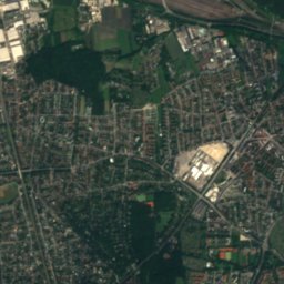
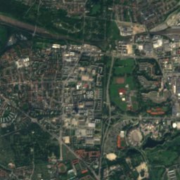
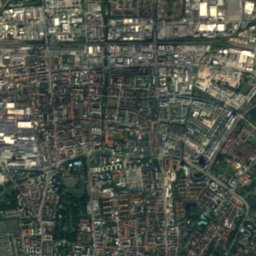
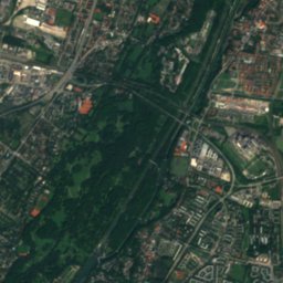
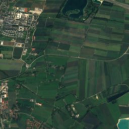
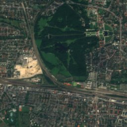
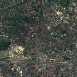
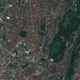
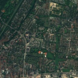
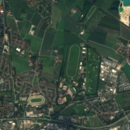
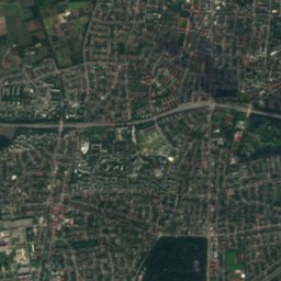
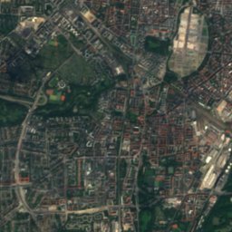
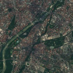
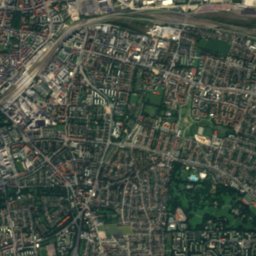
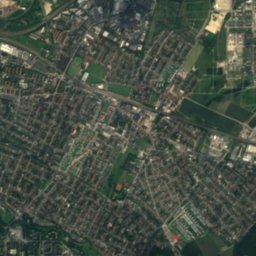
Satellite: Sentinel-2 cloudless 2016 by EOX IT Services GmbH · CC BY 4.0 · Contains modified Copernicus Sentinel data 2016


Summits nearbyMountains of Germany
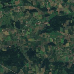
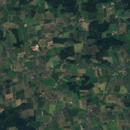
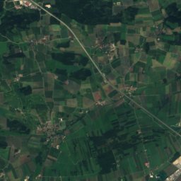
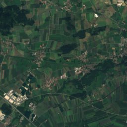
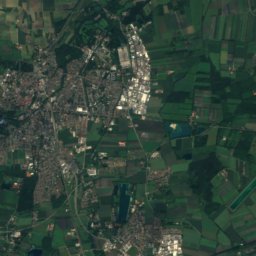
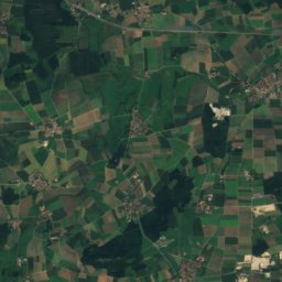
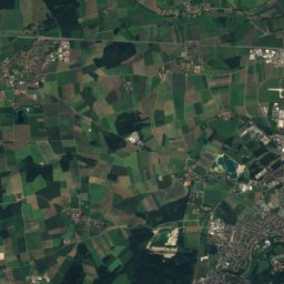
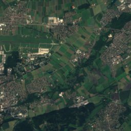
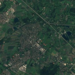
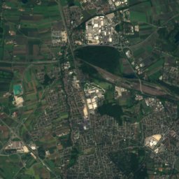
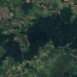
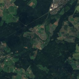
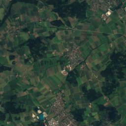
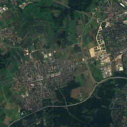
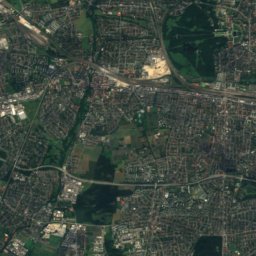
Satellite: Sentinel-2 cloudless 2016 by EOX IT Services GmbH · CC BY 4.0 · Contains modified Copernicus Sentinel data 2016
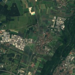
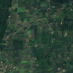
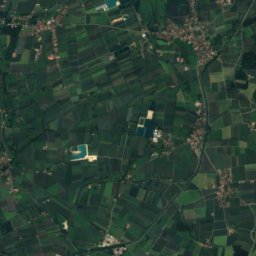
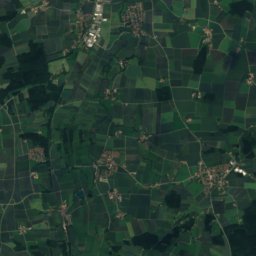
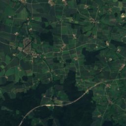
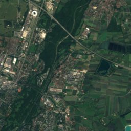
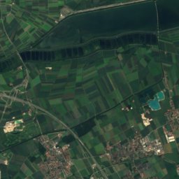
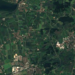
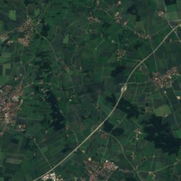
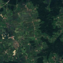
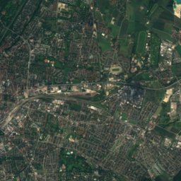
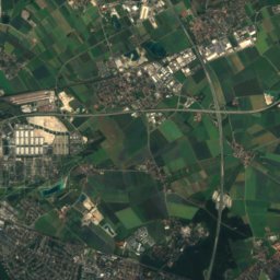
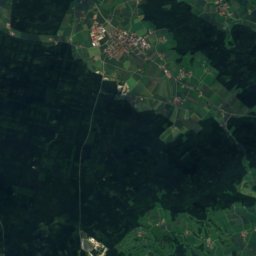
Satellite: Sentinel-2 cloudless 2016 by EOX IT Services GmbH · CC BY 4.0 · Contains modified Copernicus Sentinel data 2016


Stay nearby
Towns close by

Photo: Thomas Wolf, www.foto-tw.de · CC BY-SA 3.0 de · Wikimedia CommonsReport this photo · linked, not stored
Munich
Bavaria · 1.1 km W
14°Oct high
11wet days
49score


Around here
Munich and around
Photo: Thomas Wolf, www.foto-tw.de · CC BY-SA 3.0 de · Wikimedia CommonsReport this photo · linked, not stored
Munich
Bavaria · Germany
Jul–Sepbest months
24°July high
524 maltitude
Nature


Mountains

Photo: Gras-Ober, Wikipedia/Wikimedia Commons (cc-by-sa-3.0) · CC BY-SA 3.0 · Wikimedia CommonsReport this photo · linked, not stored
Taubenberg
896 m · Southern Alpine Foreland
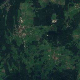
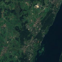
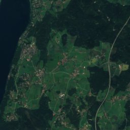
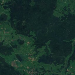
Satellite: Sentinel-2 cloudless 2016 by EOX IT Services GmbH · CC BY 4.0 · Contains modified Copernicus Sentinel data 2016
Berndorfer Buchet
760 m

Photo: Gras-Ober, Wikipedia/Wikimedia Commons (cc-by-sa-3.0) · CC BY-SA 3.0 · Wikimedia CommonsReport this photo · linked, not stored
Ilkahöhe
726 m
Heritage


New Town Hall, Munich
architectural heritage monument in Bavaria · 1909

Museums

Photo: Photo: Andreas Praefcke · CC BY 3.0 · Wikimedia CommonsReport this photo · linked, not stored
Alte Pinakothek
Art museum · 1836


