
Photo: Harald Süpfle · CC BY-SA 2.5 · Wikimedia Commons
Eisbach, BavariaReport this photo · linked, not stored
Eisbach, BavariaReport this photo · linked, not stored

Photo: Flocci Nivis · CC BY-SA 4.0 · Wikimedia Commons
Wasserfall Schwabinger Bach in MünchenReport this photo · linked, not stored
Wasserfall Schwabinger Bach in MünchenWasserfall Schwabinger Bach in MünchenReport this photo · linked, not stored

Photo: X · CC BY-SA 3.0 · Wikimedia Commons
Brunnthaler QuellbachReport this photo · linked, not stored
Brunnthaler QuellbachBrunnthaler QuellbachReport this photo · linked, not stored

Photo: Dominik Hundhammer · CC BY-SA 3.0 · Wikimedia Commons
SchwindinselReport this photo · linked, not stored
SchwindinselSchwindinselReport this photo · linked, not stored

Photo: Photograph: Bayerische Vermessungsverwaltung – www.geodaten.bayern.de / Bearbeit · CC BY 4.0 · Wikimedia Commons
Prater IslandReport this photo · linked, not stored
Prater IslandPrater IslandReport this photo · linked, not stored
RiverMunich, Bavaria
Eisbach, Bavaria
RiverBest Jul–Sep
Elevation–above sea level
Area–surface
Nearest townMunich1.5 km
48.15° N, 11.59° EUTC+2 · Central European Summer Time
When to goMunich · weather score
Best timeJul–Sep
October: high / low14° / 5°
River
Eisbach, Bavaria in brief
Eisbach, Bavaria is a river in Munich, Bavaria, Germany.
The nearest town in the atlas is Munich, 1.5 km to the SW, where the weather is best in July, August and September.
Weather nearby now
Forecast for Munich11°
Sunny now
Today
22 Oct
12°
4°
1 mm
Fri
23 Oct
13°
3°
Sat
24 Oct
9°
5°
1 mm
Sun
25 Oct
11°
4°
12 mm
Mon
26 Oct
12°
5°
Model run 00:00 UTCRefreshed several times a day
Map
Eisbach, Bavaria from above
Nature nearbyAll of Germany


Photo: Photograph: Bayerische Vermessungsverwaltung – www.geodaten.bayern.de / Bearbeit · CC BY 4.0 · Wikimedia CommonsReport this photo · linked, not stored
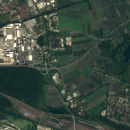
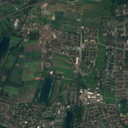
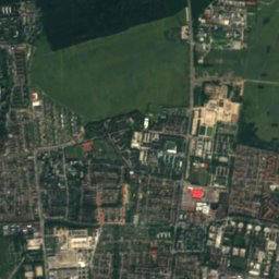
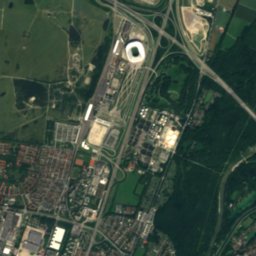
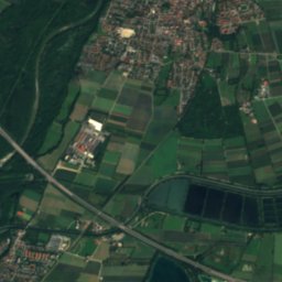
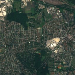
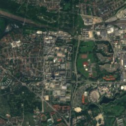
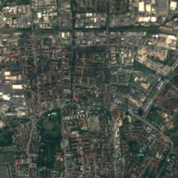
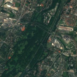
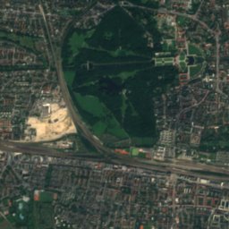
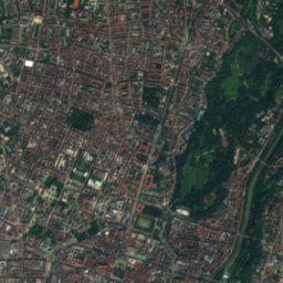
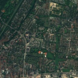
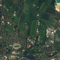
Satellite: Sentinel-2 cloudless 2016 by EOX IT Services GmbH · CC BY 4.0 · Contains modified Copernicus Sentinel data 2016

Summits nearbyMountains of Germany
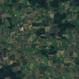
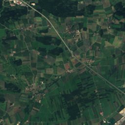
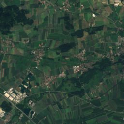
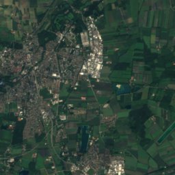
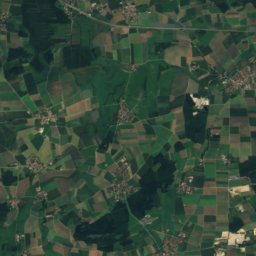
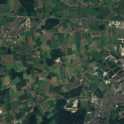
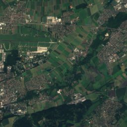
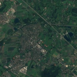
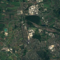
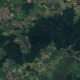
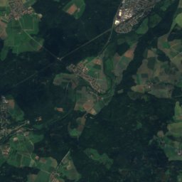
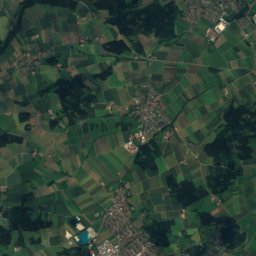
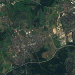
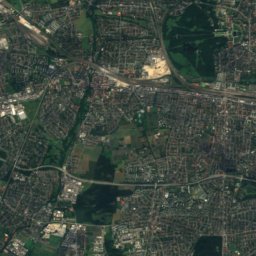
Satellite: Sentinel-2 cloudless 2016 by EOX IT Services GmbH · CC BY 4.0 · Contains modified Copernicus Sentinel data 2016
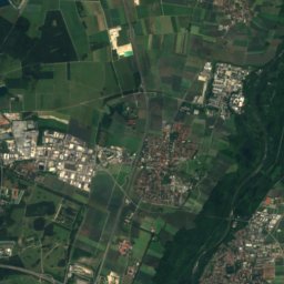
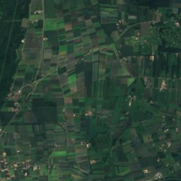
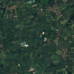
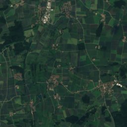
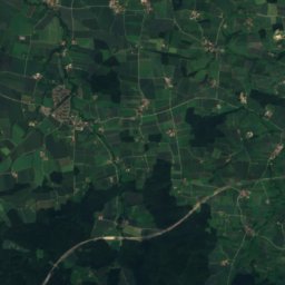
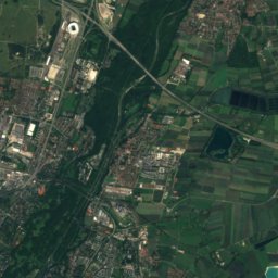
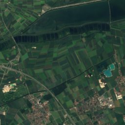
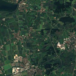
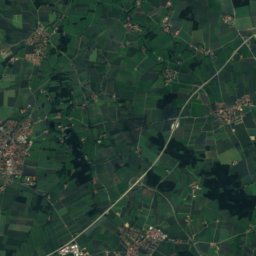
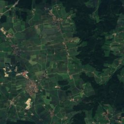
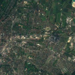
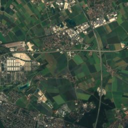
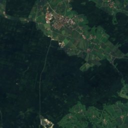
Satellite: Sentinel-2 cloudless 2016 by EOX IT Services GmbH · CC BY 4.0 · Contains modified Copernicus Sentinel data 2016


Stay nearby
Towns close by

Photo: Thomas Wolf, www.foto-tw.de · CC BY-SA 3.0 de · Wikimedia CommonsReport this photo · linked, not stored
Munich
Bavaria · 1.5 km SW
14°Oct high
11wet days
49score


Photo: Christian Denis Mueller, Chrissy85 · CC BY-SA 2.5 · Wikimedia CommonsReport this photo · linked, not stored
Fröttmaning
Bavaria · 8.2 km N
14°Oct high
11wet days
48score
Around here
Munich and around
Photo: Thomas Wolf, www.foto-tw.de · CC BY-SA 3.0 de · Wikimedia CommonsReport this photo · linked, not stored
Munich
Bavaria · Germany
Jul–Sepbest months
24°July high
524 maltitude
Nature


Mountains

Photo: Gras-Ober, Wikipedia/Wikimedia Commons (cc-by-sa-3.0) · CC BY-SA 3.0 · Wikimedia CommonsReport this photo · linked, not stored
Taubenberg
896 m · Southern Alpine Foreland
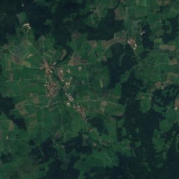
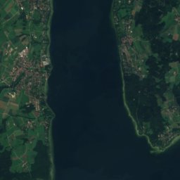
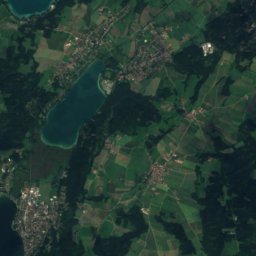
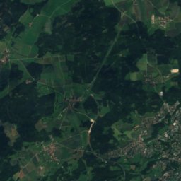
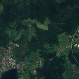
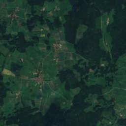
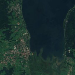
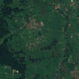
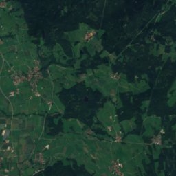
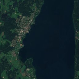
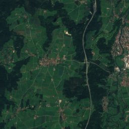
Satellite: Sentinel-2 cloudless 2016 by EOX IT Services GmbH · CC BY 4.0 · Contains modified Copernicus Sentinel data 2016
Berndorfer Buchet
760 m

Photo: Gras-Ober, Wikipedia/Wikimedia Commons (cc-by-sa-3.0) · CC BY-SA 3.0 · Wikimedia CommonsReport this photo · linked, not stored
Ilkahöhe
726 m
Heritage


New Town Hall, Munich
architectural heritage monument in Bavaria · 1909

Museums

Photo: Photo: Andreas Praefcke · CC BY 3.0 · Wikimedia CommonsReport this photo · linked, not stored
Alte Pinakothek
Art museum · 1836


