Skip to content
Destinations
Weather & climate
Nature
Outdoors
Culture
Events
Sky & live
Monbach
Photo: Flobl · CC BY-SA 3.0 · Wikimedia Commons
MonbachReport this photo · linked, not stored
Tälesbach
Photo: Cooldanielt · CC BY 3.0 · Wikimedia Commons
TälesbachReport this photo · linked, not stored
Tälesbach
Stadtsee, Bad Liebenzell
Photo: Frank Vincentz · CC BY-SA 3.0 · Wikimedia Commons
Stadtsee, Bad LiebenzellReport this photo · linked, not stored
Stadtsee, Bad Liebenzell
Rankbach
Photo: qwesy qwesy · CC BY 3.0 · Wikimedia Commons
RankbachReport this photo · linked, not stored
Rankbach
Kreuzbach, Baden-Wurttemberg
Photo: SteveK · CC BY-SA 3.0 · Wikimedia Commons
Kreuzbach, Baden-WurttembergReport this photo · linked, not stored
Kreuzbach, Baden-Wurttemberg
RiverSimmozheim, Baden-Wurttemberg

Monbach

RiverBest Jul–Sep
Elevation–above sea level
Length9.0 kmsource to mouth
Nearest townSimmozheim1.4 km
48.75° N, 8.79° EUTC+2 · Central European Summer Time
When to goSimmozheim · weather score
JanFebMarAprMayJunJulAugSepOctNovDec43October
Best timeJul–Sep
October: high / low14° / 5°
River

Monbach in brief

Monbach is a river in Simmozheim, Baden-Wurttemberg, Germany.

The nearest town in the atlas is Simmozheim, 1.4 km to the E, where the weather is best in July, August and September.

Monbach is 9.0 km long.

Simmozheim: weather and travel guide

Weather nearby now

Forecast for Simmozheim
11°
Partly cloudy now
Wind15 km/h
Humidity57%
Cloud cover44%
Today
22 Oct
12°
4°
Fri
23 Oct
13°
4°
3 mm
Sat
24 Oct
9°
3°
4 mm
Sun
25 Oct
11°
5°
22 mm
Mon
26 Oct
11°
3°
4 mm

Model run 00:00 UTCRefreshed several times a day

When to go

The best months around Monbach

Climate of Simmozheim

Month score in Simmozheim

Comfort, dry days and sunshine · out of 100
17
Jan
25
Feb
24
Mar
49
Apr
62
May
63
Jun
65
Jul
65
Aug
73
Sep
43
Oct
22
Nov
15
Dec
Map

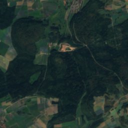
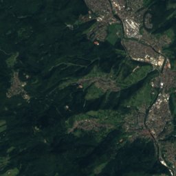
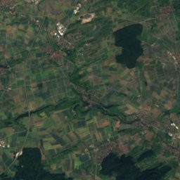
Monbach from above

Nature nearbyAll of Germany
Photo: Cooldanielt · CC BY 3.0 · Wikimedia CommonsReport this photo · linked, not stored
TälesbachRiver5.0 kmSWTälesbach
Photo: Frank Vincentz · CC BY-SA 3.0 · Wikimedia CommonsReport this photo · linked, not stored
Stadtsee, Bad LiebenzellLake5.1 kmNWStadtsee, Bad Liebenzell
Photo: qwesy qwesy · CC BY 3.0 · Wikimedia CommonsReport this photo · linked, not stored
RankbachRiver6.2 kmERankbach
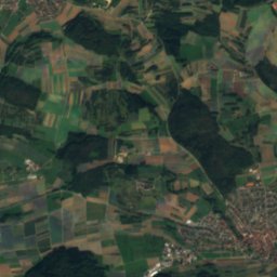
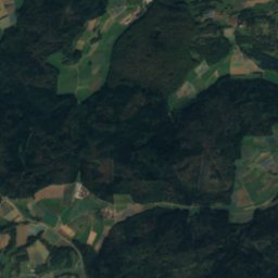
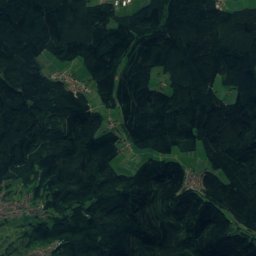
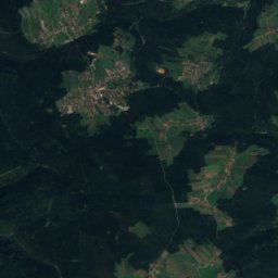
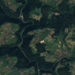
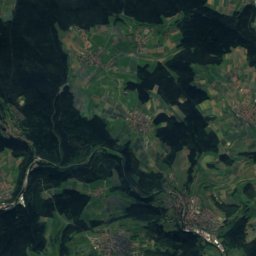
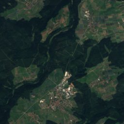
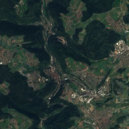
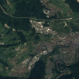
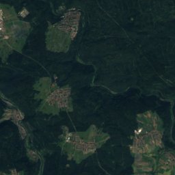
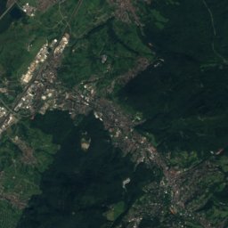
Satellite: Sentinel-2 cloudless 2016 by EOX IT Services GmbH · CC BY 4.0 · Contains modified Copernicus Sentinel data 2016
BaiersbachRiver10 kmSWBaiersbach
Photo: SteveK · CC BY-SA 3.0 · Wikimedia CommonsReport this photo · linked, not stored
Kreuzbach, Baden-WurttembergRiver10 kmNKreuzbach, Baden-Wurttemberg
Photo: qwesy qwesy · CC BY 3.0 · Wikimedia CommonsReport this photo · linked, not stored
AidRiver11 kmSEAid
Summits nearbyMountains of Germany
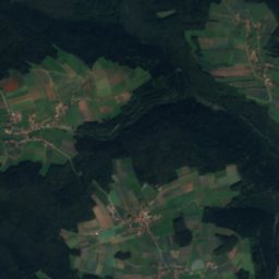
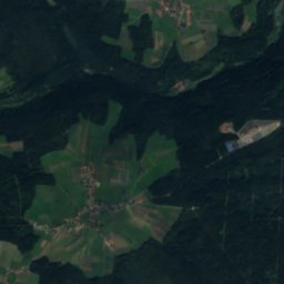
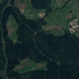
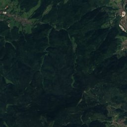
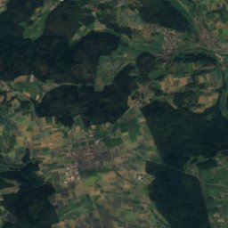
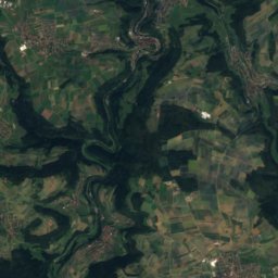
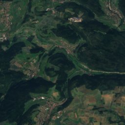
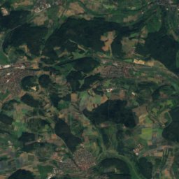
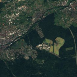
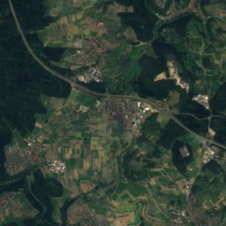
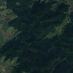
Satellite: Sentinel-2 cloudless 2016 by EOX IT Services GmbH · CC BY 4.0 · Contains modified Copernicus Sentinel data 2016
Kleiner Wendenstein21 km W840 mJuly 21°Kleiner Wendenstein
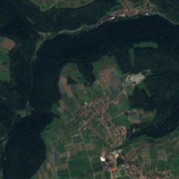
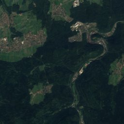
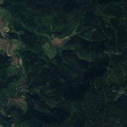
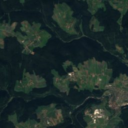
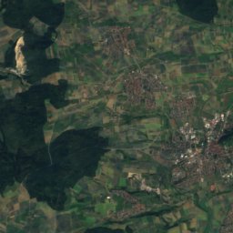
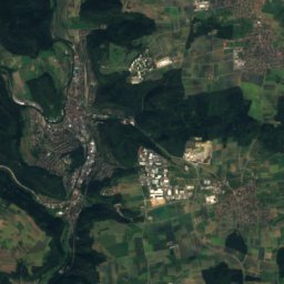
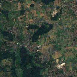
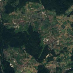
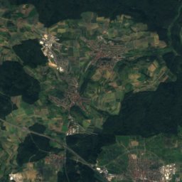
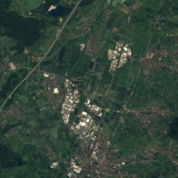
Satellite: Sentinel-2 cloudless 2016 by EOX IT Services GmbH · CC BY 4.0 · Contains modified Copernicus Sentinel data 2016
Sommerberg, Baden-Wurttemberg21 km W835 mJuly 21°Sommerberg, Baden-Wurttemberg
Photo: qwesy qwesy · CC BY 3.0 · Wikimedia CommonsReport this photo · linked, not stored
Kapf (Egenhausen)24 km SW635 mJuly 23°Kapf (Egenhausen)
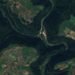
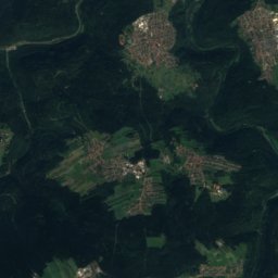
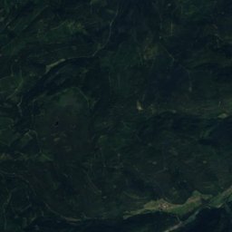
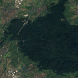
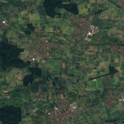
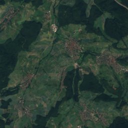
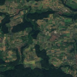
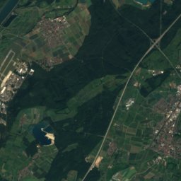
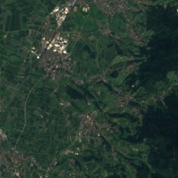
Satellite: Sentinel-2 cloudless 2016 by EOX IT Services GmbH · CC BY 4.0 · Contains modified Copernicus Sentinel data 2016
Kühlenberg18 km S627 mJuly 23°Kühlenberg
Satellite: Sentinel-2 cloudless 2016 by EOX IT Services GmbH · CC BY 4.0 · Contains modified Copernicus Sentinel data 2016
Lerchenberg (Gäu)10 km S603 mJuly 23°Lerchenberg (Gäu)
Photo: Joachim Moskalewski · CC BY-SA 3.0 · Wikimedia CommonsReport this photo · linked, not stored
Bromberg23 km SE583 mJuly 23°Bromberg
Stay nearby

Towns close by

Simmozheim
Photo: qwesy qwesy · CC BY 3.0 · Wikimedia CommonsReport this photo · linked, not stored

Simmozheim

Baden-Wurttemberg · 1.4 km E
14°Oct high
12wet days
43score
Simmozheim
Althengstett
Photo: User:MarkusHagenlocher · CC BY-SA 3.0 · Wikimedia CommonsReport this photo · linked, not stored

Althengstett

Baden-Wurttemberg · 3.5 km S
14°Oct high
12wet days
41score
Althengstett
Neuhausen
Photo: Luthermütze · CC BY-SA 4.0 · Wikimedia CommonsReport this photo · linked, not stored

Neuhausen

Baden-Wurttemberg · 4.4 km N
14°Oct high
12wet days
43score
Neuhausen
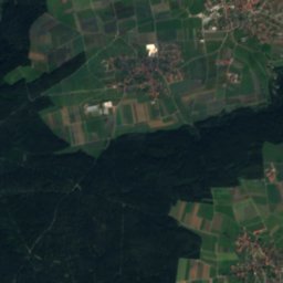
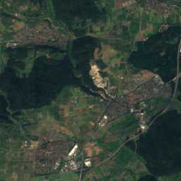
Satellite: Sentinel-2 cloudless 2016 by EOX IT Services GmbH · CC BY 4.0 · Contains modified Copernicus Sentinel data 2016

Monakam

Baden-Wurttemberg · 5.0 km NW
14°Oct high
12wet days
41score
Monakam
Around here

Simmozheim and around

Simmozheim
Photo: qwesy qwesy · CC BY 3.0 · Wikimedia CommonsReport this photo · linked, not stored

Simmozheim

Baden-Wurttemberg · Germany
Jul–Sepbest months
23°July high
479 maltitude
Simmozheim

Nature

Rankbach
Photo: qwesy qwesy · CC BY 3.0 · Wikimedia CommonsReport this photo · linked, not stored
5.0 km E

Rankbach

River
Rankbach
Tälesbach
Photo: Cooldanielt · CC BY 3.0 · Wikimedia CommonsReport this photo · linked, not stored
6.0 km W

Tälesbach

River
Tälesbach
Aid
Photo: qwesy qwesy · CC BY 3.0 · Wikimedia CommonsReport this photo · linked, not stored
9.6 km SE

Aid

River · 433 m
Aid

Mountains

Seekopf (Forbach)
Photo: Ramessos · Public domain · Wikimedia CommonsReport this photo · linked, not stored
39 km W

Seekopf (Forbach)

1,002 m · Black Forest
Seekopf (Forbach)
Satellite: Sentinel-2 cloudless 2016 by EOX IT Services GmbH · CC BY 4.0 · Contains modified Copernicus Sentinel data 2016
37 km W

Streitmannsköpfe

990 m
Streitmannsköpfe
Hohloh
Photo: RalfGB · CC BY-SA 4.0 · Wikimedia CommonsReport this photo · linked, not stored
29 km W

Hohloh

989 m · Black Forest
Hohloh

Heritage

Blumhardt-Kirche
Photo: Samuel Friedrich Klein · CC BY-SA 4.0 · Wikimedia CommonsReport this photo · linked, not stored
1.4 km NW

Blumhardt-Kirche

cultural heritage monument in Baden-Württemberg
Blumhardt-Kirche
Waldenserkirche, Althengstett
Photo: MarkusHagenlocher · CC BY-SA 3.0 · Wikimedia CommonsReport this photo · linked, not stored
2.7 km SW

Waldenserkirche, Althengstett

cultural heritage monument in Baden-Württemberg
Waldenserkirche, Althengstett
Glaspalast Sindelfingen
Photo: Giftzwerg 88 · CC BY-SA 3.0 · Wikimedia CommonsReport this photo · linked, not stored
13 km E

Glaspalast Sindelfingen

architectural heritage monument · 1977
Glaspalast Sindelfingen

Museums

Hermann-Hesse-Höri-Museum
Photo: Frank Vincentz · CC BY-SA 3.0 · Wikimedia CommonsReport this photo · linked, not stored
6.7 km SW

Hermann-Hesse-Höri-Museum

1964
Hermann-Hesse-Höri-Museum
Galerie der Stadt Sindelfingen
Photo: Wiki der Wikinger · CC BY-SA 3.0 · Wikimedia CommonsReport this photo · linked, not stored
15 km E

Galerie der Stadt Sindelfingen

1990
Galerie der Stadt Sindelfingen
Keplergasse 2
Photo: Denys · CC BY 3.0 · Wikimedia CommonsReport this photo · linked, not stored
4.3 km E

Keplergasse 2

Keplergasse 2