Skip to content
Destinations
Weather & climate
Nature
Outdoors
Culture
Events
Sky & live
Aid
Photo: qwesy qwesy · CC BY 3.0 · Wikimedia Commons
AidReport this photo · linked, not stored
Krebsbach (Würm)
Photo: Friedi13 · CC BY-SA 4.0 · Wikimedia Commons
Krebsbach (Würm)Report this photo · linked, not stored
Krebsbach (Würm)
Rankbach
Photo: qwesy qwesy · CC BY 3.0 · Wikimedia Commons
RankbachReport this photo · linked, not stored
Rankbach
Monbach
Photo: Flobl · CC BY-SA 3.0 · Wikimedia Commons
MonbachReport this photo · linked, not stored
Monbach
Kapf (Egenhausen)
Photo: qwesy qwesy · CC BY 3.0 · Wikimedia Commons
Kapf (Egenhausen)Report this photo · linked, not stored
Kapf (Egenhausen)
RiverAidlingen, Baden-Wurttemberg

Aid

River433 m elevationBest Jul–Sep
Elevation433 mabove sea level
Length11 kmsource to mouth
Nearest townAidlingen1.3 km
48.68° N, 8.88° EElevation 433 mUTC+2 · Central European Summer Time
When to goAidlingen · weather score
JanFebMarAprMayJunJulAugSepOctNovDec45October
Best timeJul–Sep
October: high / low14° / 5°
River

Aid in brief

Aid is a river in Aidlingen, Baden-Wurttemberg, Germany.

It lies at 433 m above sea level.

The nearest town in the atlas is Aidlingen, 1.3 km to the E, where the weather is best in July, August and September.

Aid is 11 km long.

Aidlingen: weather and travel guide

Weather nearby now

Forecast for Aidlingen
11°
Partly cloudy now
Wind13 km/h
Humidity57%
Cloud cover34%
Today
22 Oct
12°
4°
Fri
23 Oct
13°
5°
1 mm
Sat
24 Oct
10°
4°
3 mm
Sun
25 Oct
12°
6°
16 mm
Mon
26 Oct
12°
4°
4 mm

Model run 00:00 UTCRefreshed several times a day

When to go

The best months around Aid

Climate of Aidlingen

Month score in Aidlingen

Comfort, dry days and sunshine · out of 100
17
Jan
25
Feb
25
Mar
53
Apr
62
May
64
Jun
65
Jul
65
Aug
73
Sep
45
Oct
23
Nov
15
Dec
Map

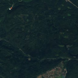
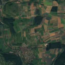
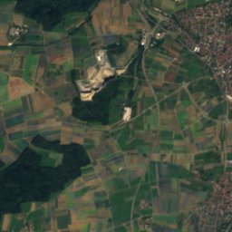
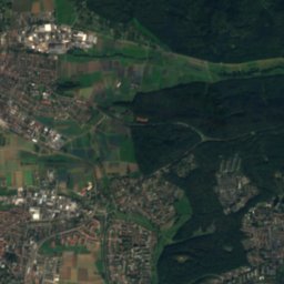
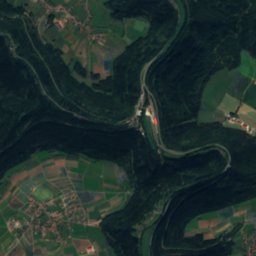
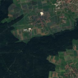
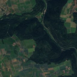
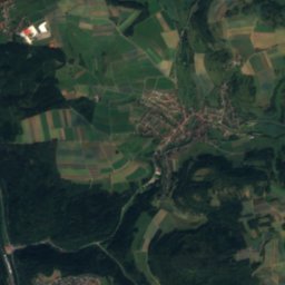
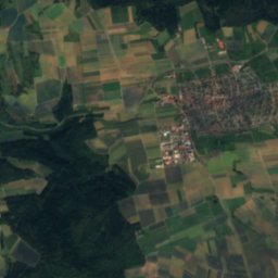
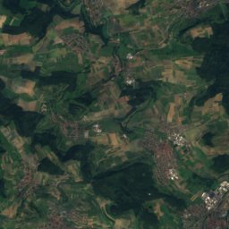
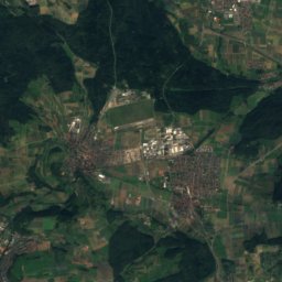
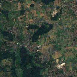
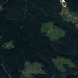
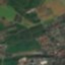
Aid from above

Nature nearbyAll of Germany
Photo: Friedi13 · CC BY-SA 4.0 · Wikimedia CommonsReport this photo · linked, not stored
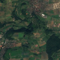
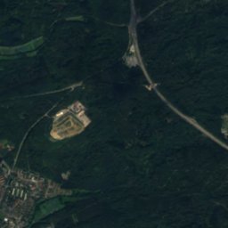
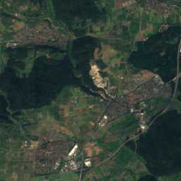
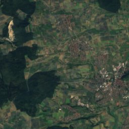
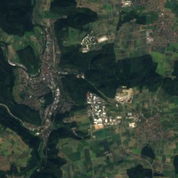
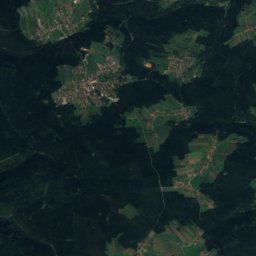
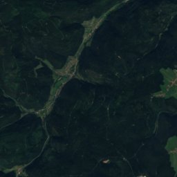
Krebsbach (Würm)River4.9 kmSEKrebsbach (Würm)
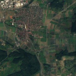
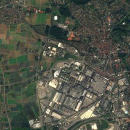
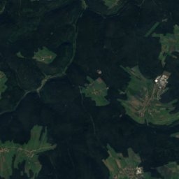
Satellite: Sentinel-2 cloudless 2016 by EOX IT Services GmbH · CC BY 4.0 · Contains modified Copernicus Sentinel data 2016
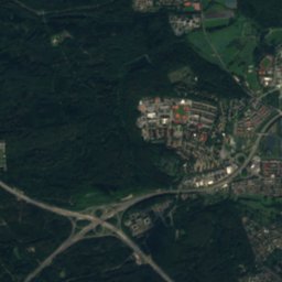
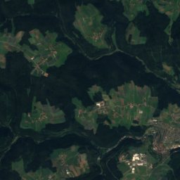
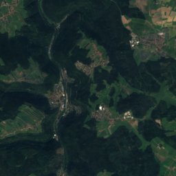
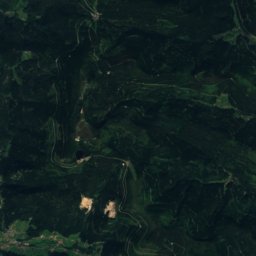
SchwippeRiver9.1 kmNESchwippe
Photo: qwesy qwesy · CC BY 3.0 · Wikimedia CommonsReport this photo · linked, not stored
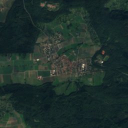
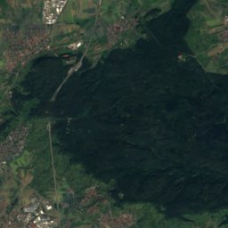
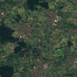
RankbachRiver9.5 kmNRankbach
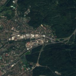
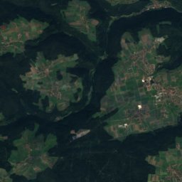
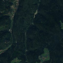
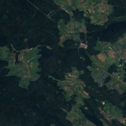
Satellite: Sentinel-2 cloudless 2016 by EOX IT Services GmbH · CC BY 4.0 · Contains modified Copernicus Sentinel data 2016
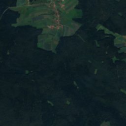
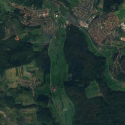
BaiersbachRiver10 kmWBaiersbach
Photo: Flobl · CC BY-SA 3.0 · Wikimedia CommonsReport this photo · linked, not stored
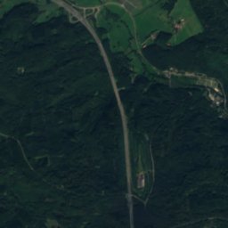
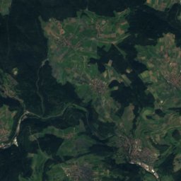
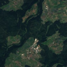
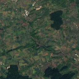
MonbachRiver11 kmNWMonbach
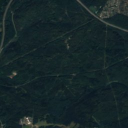
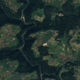
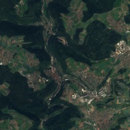
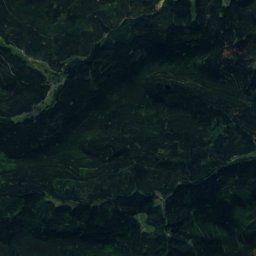
Satellite: Sentinel-2 cloudless 2016 by EOX IT Services GmbH · CC BY 4.0 · Contains modified Copernicus Sentinel data 2016
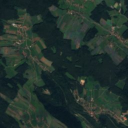
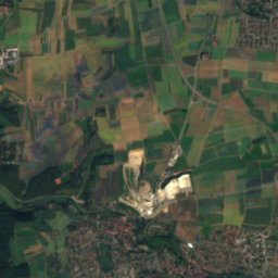
XanderklingeRiver11 kmWXanderklinge
Summits nearbyMountains of Germany
Photo: qwesy qwesy · CC BY 3.0 · Wikimedia CommonsReport this photo · linked, not stored
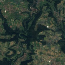
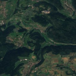
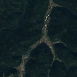
Kapf (Egenhausen)22 km SW635 mJuly 23°Kapf (Egenhausen)
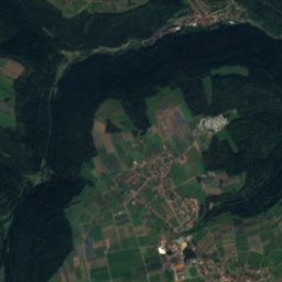
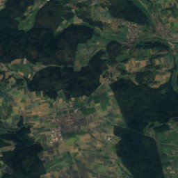
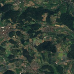
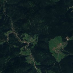
Satellite: Sentinel-2 cloudless 2016 by EOX IT Services GmbH · CC BY 4.0 · Contains modified Copernicus Sentinel data 2016
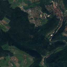
Kühlenberg13 km SW627 mJuly 23°Kühlenberg
Satellite: Sentinel-2 cloudless 2016 by EOX IT Services GmbH · CC BY 4.0 · Contains modified Copernicus Sentinel data 2016
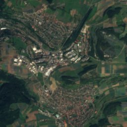
Lerchenberg (Gäu)6.5 km W603 mJuly 23°Lerchenberg (Gäu)
Photo: Joachim Moskalewski · CC BY-SA 3.0 · Wikimedia CommonsReport this photo · linked, not stored
Bromberg13 km SE583 mJuly 23°Bromberg
Photo: Cactus26 · CC BY-SA 3.0 · Wikimedia CommonsReport this photo · linked, not stored
Stellberg, Baden-Wurttemberg8.4 km S580 mJuly 24°Stellberg, Baden-Wurttemberg
Photo: Bigbossfarin derivative work: MagentaGreen · CC0 · Wikimedia CommonsReport this photo · linked, not stored
Täfelberg8.2 km NW565 mJuly 23°Täfelberg
Stay nearby

Towns close by

Aidlingen
Photo: MarkusHagenlocher · CC BY-SA 3.0 · Wikimedia CommonsReport this photo · linked, not stored

Aidlingen

Baden-Wurttemberg · 1.3 km E
14°Oct high
12wet days
45score
Aidlingen
Gechingen
Photo: MarkusHagenlocher · CC BY-SA 3.0 · Wikimedia CommonsReport this photo · linked, not stored

Gechingen

Baden-Wurttemberg · 4.1 km NW
14°Oct high
12wet days
43score
Gechingen
Gärtringen
Photo: qwesy qwesy · CC BY 3.0 · Wikimedia CommonsReport this photo · linked, not stored

Gärtringen

Baden-Wurttemberg · 4.3 km SE
14°Oct high
12wet days
45score
Gärtringen
Grafenau
Photo: Florian Hoffmann (Katanga) · CC BY 4.0 · Wikimedia CommonsReport this photo · linked, not stored

Grafenau

Baden-Wurttemberg · 4.8 km NE
14°Oct high
12wet days
46score
Grafenau
Around here

Aidlingen and around

Aidlingen
Photo: MarkusHagenlocher · CC BY-SA 3.0 · Wikimedia CommonsReport this photo · linked, not stored

Aidlingen

Baden-Wurttemberg · Germany
Jul–Sepbest months
24°July high
428 maltitude
Aidlingen

Nature

Rankbach
Photo: qwesy qwesy · CC BY 3.0 · Wikimedia CommonsReport this photo · linked, not stored
9.4 km N

Rankbach

River
Rankbach
Monbach
Photo: Flobl · CC BY-SA 3.0 · Wikimedia CommonsReport this photo · linked, not stored
11 km NW

Monbach

River
Monbach
Krebsbach (Würm)
Photo: Friedi13 · CC BY-SA 4.0 · Wikimedia CommonsReport this photo · linked, not stored
3.9 km SE

Krebsbach (Würm)

River
Krebsbach (Würm)

Mountains

Hohloh
Photo: RalfGB · CC BY-SA 4.0 · Wikimedia CommonsReport this photo · linked, not stored
35 km W

Hohloh

989 m · Black Forest
Hohloh
Satellite: Sentinel-2 cloudless 2016 by EOX IT Services GmbH · CC BY 4.0 · Contains modified Copernicus Sentinel data 2016
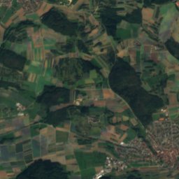
37 km W

Schramberg

921 m
Schramberg
Teufelsmühle
Photo: Sitacuisses · CC BY-SA 3.0 · Wikimedia CommonsReport this photo · linked, not stored
37 km W

Teufelsmühle

908 m · Black Forest
Teufelsmühle

Heritage

Satellite: Sentinel-2 cloudless 2016 by EOX IT Services GmbH · CC BY 4.0 · Contains modified Copernicus Sentinel data 2016
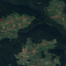
0.2 km SE

Protestant Church, Aidlingen

cultural heritage monument in Baden-Württemberg
Protestant Church, Aidlingen
Kirche St. Veit
Photo: qwesy qwesy · CC BY 3.0 · Wikimedia CommonsReport this photo · linked, not stored
2.0 km W

Kirche St. Veit

cultural heritage monument in Baden-Württemberg
Kirche St. Veit
Burgstall Edelburg
Photo: An Di von Ba · CC BY-SA 4.0 · Wikimedia CommonsReport this photo · linked, not stored
2.6 km SW

Burgstall Edelburg

Kulturdenkmal
Burgstall Edelburg

Museums

Hopfenhaus
Photo: Giftzwerg 88 · CC BY-SA 3.0 · Wikimedia CommonsReport this photo · linked, not stored
0.5 km E

Hopfenhaus

Local museum
Hopfenhaus
Glockenmuseum Stiftskirche Herrenberg
Photo: User:Fb78 · CC BY-SA 3.0 · Wikimedia CommonsReport this photo · linked, not stored
9.3 km S

Glockenmuseum Stiftskirche Herrenberg

Glockenmuseum Stiftskirche Herrenberg
Motorworld Region Stuttgart
Photo: Giftzwerg 88 · CC BY-SA 3.0 · Wikimedia CommonsReport this photo · linked, not stored
8.1 km E

Motorworld Region Stuttgart

Automobile museum
Motorworld Region Stuttgart