Skip to content
Destinations
Weather & climate
Nature
Outdoors
Culture
Events
Sky & live
Lichte
Photo: Rafael Brix · CC BY 2.5 · Wikimedia Commons
LichteReport this photo · linked, not stored
Kieselbach, Thuringia
Photo: Störfix · CC BY-SA 3.0 · Wikimedia Commons
Kieselbach, ThuringiaReport this photo · linked, not stored
Kieselbach, Thuringia
Piesau
Photo: Störfix · CC BY-SA 3.0 · Wikimedia Commons
PiesauReport this photo · linked, not stored
Piesau
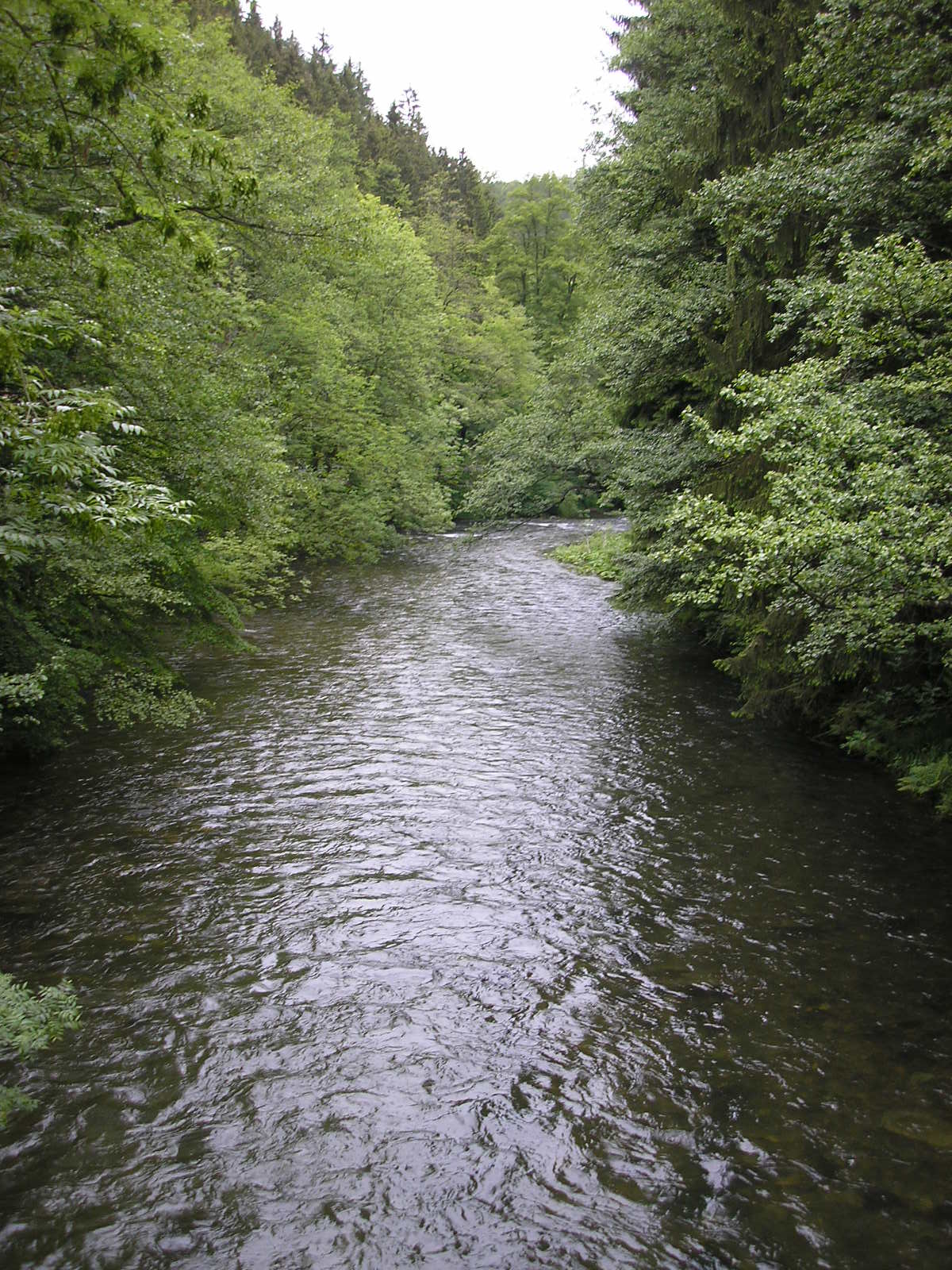
Schwarza (Saale)
Photo: Michael Sander · CC BY-SA 3.0 · Wikimedia Commons
Schwarza (Saale)Report this photo · linked, not stored
Schwarza (Saale)
Deesbach Forebay
Photo: Störfix · CC BY-SA 3.0 de · Wikimedia Commons
Deesbach ForebayReport this photo · linked, not stored
Deesbach Forebay
RiverNeuhaus am Rennweg, Thuringia

Lichte

RiverBest Jun–Aug
Elevation–above sea level
Length17 kmsource to mouth
Nearest townNeuhaus am Rennweg1.2 km
50.50° N, 11.15° EUTC+2 · Central European Summer Time
When to goNeuhaus am Rennweg · weather score
JanFebMarAprMayJunJulAugSepOctNovDec22October
Best timeJun–Aug
October: high / low10° / 4°
River

Lichte in brief

Lichte is a river in Neuhaus am Rennweg, Thuringia, Germany.

The nearest town in the atlas is Neuhaus am Rennweg, 1.2 km to the NW, where the weather is best in June, July and August.

Lichte is 17 km long.

Neuhaus am Rennweg: weather and travel guide

Weather nearby now

Forecast for Neuhaus am Rennweg
7°
Cloudy now
Wind22 km/h
Humidity66%
Cloud cover89%
Today
22 Oct
7°
3°
1 mm
Fri
23 Oct
9°
3°
2 mm
Sat
24 Oct
3°
2°
14 mm
Sun
25 Oct
7°
3°
30 mm
Mon
26 Oct
6°
3°
1 mm

Model run 00:00 UTCRefreshed several times a day

When to go

The best months around Lichte

Climate of Neuhaus am Rennweg

Month score in Neuhaus am Rennweg

Comfort, dry days and sunshine · out of 100
11
Jan
22
Feb
21
Mar
32
Apr
47
May
65
Jun
62
Jul
66
Aug
55
Sep
22
Oct
16
Nov
9
Dec
Map

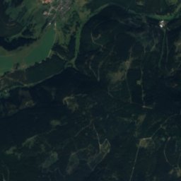
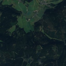
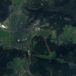
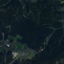
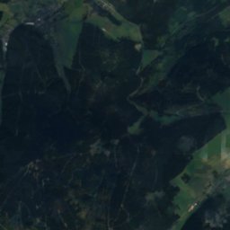
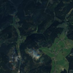
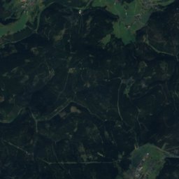
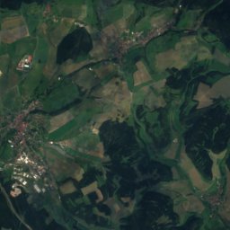
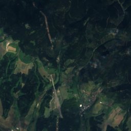
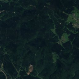
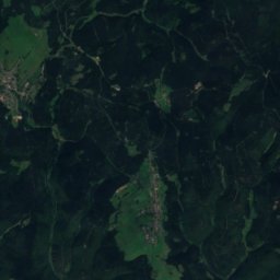
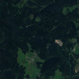
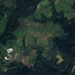
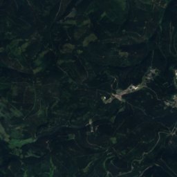
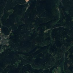
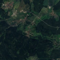
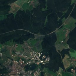
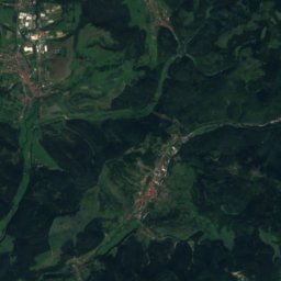
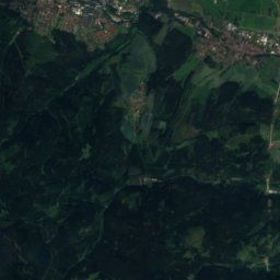
Lichte from above

Nature nearbyAll of Germany
Satellite: Sentinel-2 cloudless 2016 by EOX IT Services GmbH · CC BY 4.0 · Contains modified Copernicus Sentinel data 2016
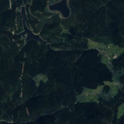
AscherbachRiver2.3 kmNEAscherbach
Photo: Störfix · CC BY-SA 3.0 · Wikimedia CommonsReport this photo · linked, not stored
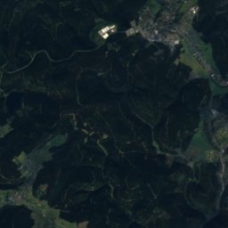
Kieselbach, ThuringiaRiver2.3 kmNEKieselbach, Thuringia
Photo: Störfix · CC BY-SA 3.0 · Wikimedia CommonsReport this photo · linked, not stored
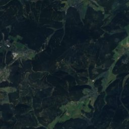
PiesauRiver3.7 kmNEPiesau
Photo: Michael Sander · CC BY-SA 3.0 · Wikimedia CommonsReport this photo · linked, not stored
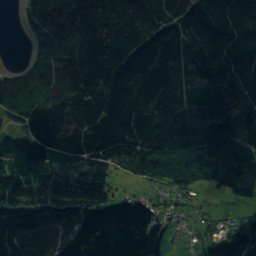
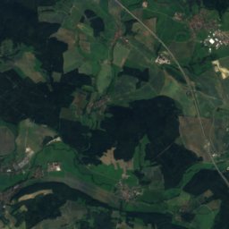
Schwarza (Saale)River4.5 kmSWSchwarza (Saale)
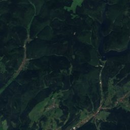
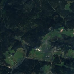
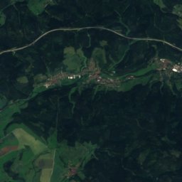
Satellite: Sentinel-2 cloudless 2016 by EOX IT Services GmbH · CC BY 4.0 · Contains modified Copernicus Sentinel data 2016
GöritzRiver6.1 kmSGöritz
Photo: Störfix · CC BY-SA 3.0 de · Wikimedia CommonsReport this photo · linked, not stored
Deesbach ForebayLake7.6 kmNDeesbach Forebay
Summits nearbyMountains of Germany
Photo: StefanX112 · CC BY-SA 3.0 · Wikimedia CommonsReport this photo · linked, not stored
Großer Farmdenkopf8.4 km W869 mJuly 20°Großer Farmdenkopf
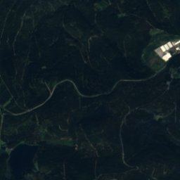
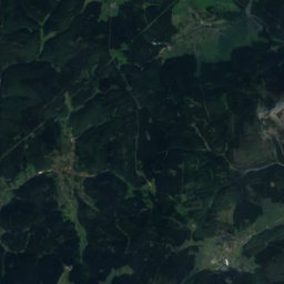
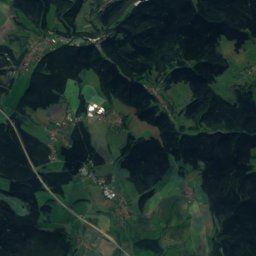
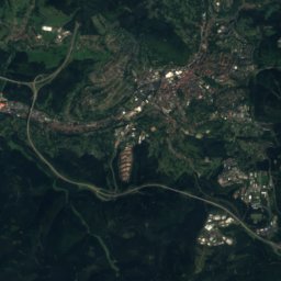
Satellite: Sentinel-2 cloudless 2016 by EOX IT Services GmbH · CC BY 4.0 · Contains modified Copernicus Sentinel data 2016
Kieferle5.8 km SW867 mJuly 20°Kieferle
Photo: Presse03 · CC BY-SA 3.0 · Wikimedia CommonsReport this photo · linked, not stored
Bleßberg12 km SW867 mJuly 20°Bleßberg
Photo: Foto: Störfix, Lizenz: Creative Commons by-sa 3.0 de · CC BY-SA 3.0 de · Wikimedia CommonsReport this photo · linked, not stored
Wurzelberg8.2 km W843 mJuly 20°Wurzelberg
Photo: Schiefergriffel · CC BY-SA 3.0 · Wikimedia CommonsReport this photo · linked, not stored
Fellberg7.9 km S842 mJuly 20°Fellberg
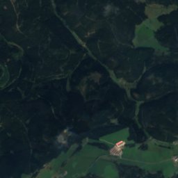
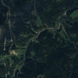
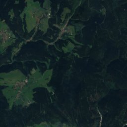
Satellite: Sentinel-2 cloudless 2016 by EOX IT Services GmbH · CC BY 4.0 · Contains modified Copernicus Sentinel data 2016
Eselsberg, Thuringia13 km W842 mJuly 20°Eselsberg, Thuringia
Stay nearby

Towns close by

Neuhaus am Rennweg
Photo: Michael Sander · CC BY-SA 3.0 · Wikimedia CommonsReport this photo · linked, not stored

Neuhaus am Rennweg

Thuringia · 1.2 km NW
10°Oct high
11wet days
22score
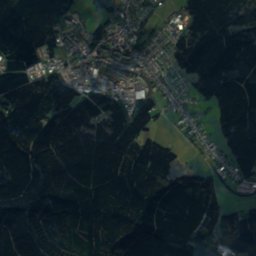
Neuhaus am Rennweg
Satellite: Sentinel-2 cloudless 2016 by EOX IT Services GmbH · CC BY 4.0 · Contains modified Copernicus Sentinel data 2016

Lichte

Thuringia · 2.7 km NE
11°Oct high
11wet days
28score
Lichte
Lauscha
Photo: Hajotthu · CC BY-SA 3.0 · Wikimedia CommonsReport this photo · linked, not stored

Lauscha

Thuringia · 3.2 km S
11°Oct high
11wet days
24score
Lauscha
Schmiedefeld
Photo: Störfix · CC BY-SA 3.0 · Wikimedia CommonsReport this photo · linked, not stored

Schmiedefeld

Thuringia · 5.5 km NE
11°Oct high
11wet days
26score
Schmiedefeld
Around here

Neuhaus am Rennweg and around

Neuhaus am Rennweg
Photo: Michael Sander · CC BY-SA 3.0 · Wikimedia CommonsReport this photo · linked, not stored

Neuhaus am Rennweg

Thuringia · Germany
Jun–Augbest months
20°July high
800 maltitude
Neuhaus am Rennweg

Nature

Schwarza (Saale)
Photo: Michael Sander · CC BY-SA 3.0 · Wikimedia CommonsReport this photo · linked, not stored
3.9 km SW

Schwarza (Saale)

River
Schwarza (Saale)
Effelder
Photo: Foto: Störfix, Lizenz: Creative Commons by-sa 3.0 de · CC BY-SA 3.0 de · Wikimedia CommonsReport this photo · linked, not stored
9.7 km SW

Effelder

River · 348 m
Effelder
Röthen
Photo: Störfix · CC BY-SA 3.0 de · Wikimedia CommonsReport this photo · linked, not stored
10 km S

Röthen

River
Röthen

Mountains

Großer Beerberg
Photo: Elop · CC BY-SA 2.5 · Wikimedia CommonsReport this photo · linked, not stored
32 km NW

Großer Beerberg

983 m · Thuringian Forest
Großer Beerberg
Großer Finsterberg
Photo: Elop · CC BY-SA 2.5 · Wikimedia CommonsReport this photo · linked, not stored
28 km NW

Großer Finsterberg

944 m · Thuringian Forest
Großer Finsterberg
Satellite: Sentinel-2 cloudless 2016 by EOX IT Services GmbH · CC BY 4.0 · Contains modified Copernicus Sentinel data 2016
29 km NW

Sachsenstein

915 m · Thuringian Forest
Sachsenstein

Heritage

Satellite: Sentinel-2 cloudless 2016 by EOX IT Services GmbH · CC BY 4.0 · Contains modified Copernicus Sentinel data 2016
0.2 km E

Stadtkirche Neuhaus am Rennweg

Kulturdenkmal · 1892
Stadtkirche Neuhaus am Rennweg
Museum Geißlerhaus
Photo: Foto: Störfix, Lizenz: Creative Commons by-sa 3.0 de · CC BY-SA 3.0 de · Wikimedia CommonsReport this photo · linked, not stored
0.9 km SE

Museum Geißlerhaus

Kulturdenkmal
Museum Geißlerhaus
Glücksthal
Photo: Störfix · CC BY-SA 3.0 de · Wikimedia CommonsReport this photo · linked, not stored
2.5 km SW

Glücksthal

Kulturdenkmal
Glücksthal

Museums

Museum für Glaskunst Lauscha
Photo: VMH · CC BY-SA 3.0 · Wikimedia CommonsReport this photo · linked, not stored
4.0 km SE

Museum für Glaskunst Lauscha

1903
Museum für Glaskunst Lauscha
Satellite: Sentinel-2 cloudless 2016 by EOX IT Services GmbH · CC BY 4.0 · Contains modified Copernicus Sentinel data 2016
0.1 km S

Museum Neuhaus am Rennweg

Museum Neuhaus am Rennweg
Morassina
Photo: R. L. 68 · CC BY-SA 3.0 · Wikimedia CommonsReport this photo · linked, not stored
6.2 km NE

Morassina

Show mine
Morassina