
Photo: Störfix · CC BY-SA 3.0 de · Wikimedia Commons
GlücksthalReport this photo · linked, not stored
GlücksthalReport this photo · linked, not stored

Photo: Michael Sander · CC BY-SA 3.0 · Wikimedia Commons
Stadtkirche Neuhaus am RennwegReport this photo · linked, not stored
Stadtkirche Neuhaus am RennwegStadtkirche Neuhaus am RennwegReport this photo · linked, not stored

Photo: Foto: Störfix, Lizenz: Creative Commons by-sa 3.0 de · CC BY-SA 3.0 de · Wikimedia Commons
Museum GeißlerhausReport this photo · linked, not stored
Museum GeißlerhausMuseum GeißlerhausReport this photo · linked, not stored

Photo: Störfix · CC BY-SA 3.0 · Wikimedia Commons
Church ScheibeReport this photo · linked, not stored
Church ScheibeChurch ScheibeReport this photo · linked, not stored

Photo: Störfix · CC BY-SA 3.0 de · Wikimedia Commons
Stadtkirche LauschaReport this photo · linked, not stored
Stadtkirche LauschaStadtkirche LauschaReport this photo · linked, not stored
abandoned villageNeuhaus am Rennweg, Thuringia
Glücksthal
Kulturdenkmal
Typeabandoned village
Built–
Best monthsJun–Augweather in Neuhaus am Rennweg
50.50° N, 11.11° EUTC+2 · Central European Summer Time
When to goNeuhaus am Rennweg · weather score
Best timeJun–Aug
October: high / low10° / 4°
iAbout
Glücksthal in brief
Glücksthal is an abandoned village in Neuhaus am Rennweg, Thuringia, Germany.
It holds the designation Kulturdenkmal.
For a visit, the weather in Neuhaus am Rennweg is best in June, July and August; in October afternoons average 10°.
Facts
- Type
- abandoned village
- Designation
- Kulturdenkmal
- Nearest town
- Neuhaus am Rennweg
- Region
- Thuringia
- Coordinates
- 50.49530, 11.11220
iiLocation
Where to find it
iiiWhen to visit
Climate guideWeather in Neuhaus am Rennweg
Month score for sightseeing
Best Jun–Aug11
Jan
22
Feb
21
Mar
32
Apr
47
May
65
Jun
62
Jul
66
Aug
55
Sep
22
Oct
16
Nov
9
Dec
ivNearby
All monuments in GermanyMore heritage close by
Photo: Foto: Störfix, Lizenz: Creative Commons by-sa 3.0 de · CC BY-SA 3.0 de · Wikimedia CommonsReport this photo · linked, not stored
Museum Geißlerhaus
2.6 km E
Kulturdenkmal


Around here
Neuhaus am Rennweg and around
Nature
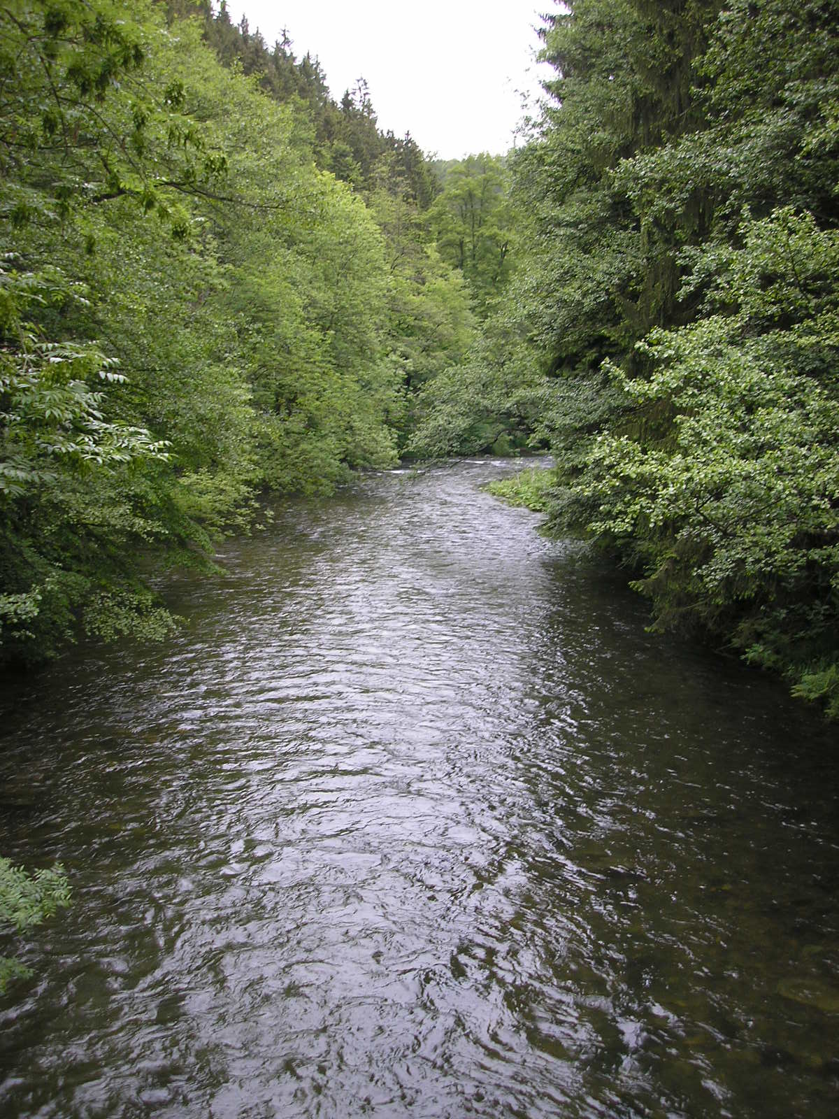

Photo: Foto: Störfix, Lizenz: Creative Commons by-sa 3.0 de · CC BY-SA 3.0 de · Wikimedia CommonsReport this photo · linked, not stored
Effelder
River · 348 m

Mountains


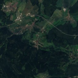
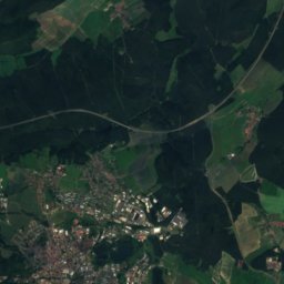
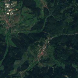
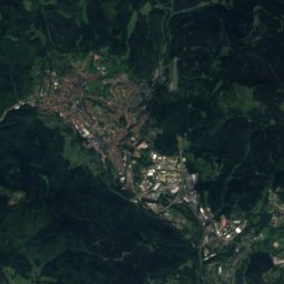
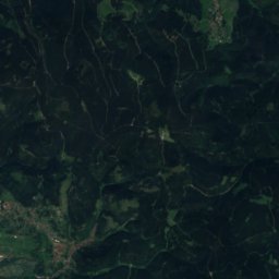
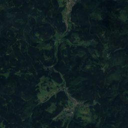
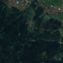
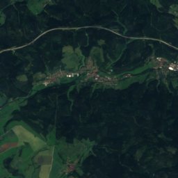
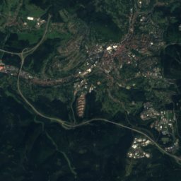
Satellite: Sentinel-2 cloudless 2016 by EOX IT Services GmbH · CC BY 4.0 · Contains modified Copernicus Sentinel data 2016
Sachsenstein
915 m · Thuringian Forest
Heritage








Satellite: Sentinel-2 cloudless 2016 by EOX IT Services GmbH · CC BY 4.0 · Contains modified Copernicus Sentinel data 2016
Stadtkirche Neuhaus am Rennweg
Kulturdenkmal · 1892
Photo: Foto: Störfix, Lizenz: Creative Commons by-sa 3.0 de · CC BY-SA 3.0 de · Wikimedia CommonsReport this photo · linked, not stored
Museum Geißlerhaus
Kulturdenkmal
Museums

Satellite: Sentinel-2 cloudless 2016 by EOX IT Services GmbH · CC BY 4.0 · Contains modified Copernicus Sentinel data 2016


