Skip to content
Destinations
Weather & climate
Nature
Outdoors
Culture
Events
Sky & live
Ifta
Photo: Metilsteiner · CC BY-SA 3.0 · Wikimedia Commons
IftaReport this photo · linked, not stored
Madel
Photo: Metilsteiner (talk) · CC BY-SA 3.0 · Wikimedia Commons
MadelReport this photo · linked, not stored
Madel
Elte
Photo: Metilsteiner · CC BY-SA 3.0 · Wikimedia Commons
ElteReport this photo · linked, not stored
Elte
Lauterbach, Thuringia
Photo: Metilsteiner · CC BY 3.0 · Wikimedia Commons
Lauterbach, ThuringiaReport this photo · linked, not stored
Lauterbach, Thuringia
Lempertsbach
Photo: Metilsteiner · CC BY 3.0 · Wikimedia Commons
LempertsbachReport this photo · linked, not stored
Lempertsbach
RiverCreuzburg, Thuringia

Ifta

RiverBest May · Aug–Sep
Elevation–above sea level
Length5.5 kmsource to mouth
Nearest townCreuzburg2.0 km
51.04° N, 10.22° EUTC+1 · Central European Standard Time
When to goCreuzburg · weather score
JanFebMarAprMayJunJulAugSepOctNovDec39October
Best timeMay · Aug–Sep
October: high / low14° / 6°
River

Ifta in brief

Ifta is a river in Creuzburg, Thuringia, Germany.

The nearest town is Creuzburg, 2.0 km to the NE, where the weather is best in May, August and September.

Ifta is 5.5 km long.

Creuzburg: weather and travel guide

Weather nearby now

Forecast for Creuzburg
12°
Sunny now
Wind25 km/h
Humidity62%
Cloud cover9%
Today
25 Oct
13°
6°
11 mm
Mon
26 Oct
13°
5°
Tue
27 Oct
15°
6°
Wed
28 Oct
14°
4°
Thu
29 Oct
13°
2°

Model run 00:00 UTCRefreshed several times a day

When to go

The best months around Ifta

Climate of Creuzburg

Month score in Creuzburg

Comfort, dry days and sunshine · out of 100
13
Jan
17
Feb
19
Mar
54
Apr
64
May
63
Jun
64
Jul
66
Aug
69
Sep
39
Oct
15
Nov
12
Dec
Map

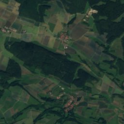
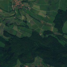
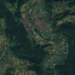
Ifta from above

Nature nearbyAll of Germany
Photo: Metilsteiner (talk) · CC BY-SA 3.0 · Wikimedia CommonsReport this photo · linked, not stored
MadelRiver1.8 kmEMadel
Photo: Metilsteiner · CC BY-SA 3.0 · Wikimedia CommonsReport this photo · linked, not stored
ElteRiver7.0 kmSWElte
Photo: Metilsteiner · CC BY 3.0 · Wikimedia CommonsReport this photo · linked, not stored
Lauterbach, ThuringiaRiver8.7 kmNELauterbach, Thuringia
Photo: Metilsteiner · CC BY 3.0 · Wikimedia CommonsReport this photo · linked, not stored
LempertsbachRiver8.8 kmNELempertsbach
Photo: Metilsteiner · CC BY 3.0 · Wikimedia CommonsReport this photo · linked, not stored
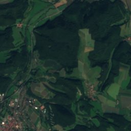
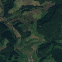
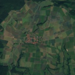
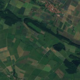
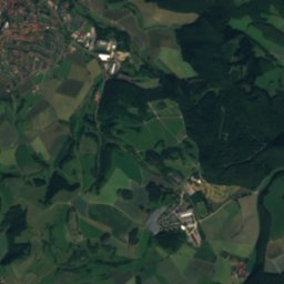
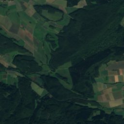
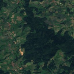
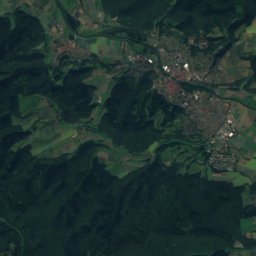
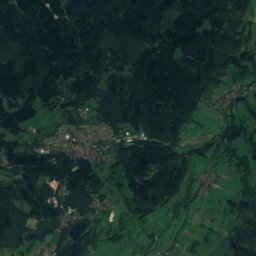
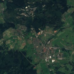
Schnellmannshäuser BachRiver8.8 kmNSchnellmannshäuser Bach
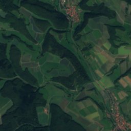
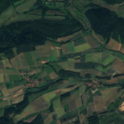
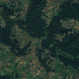
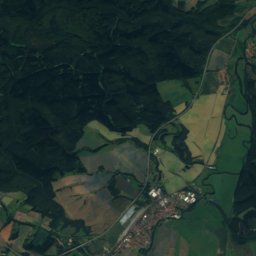
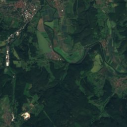
Satellite: Sentinel-2 cloudless 2016 by EOX IT Services GmbH · CC BY 4.0 · Contains modified Copernicus Sentinel data 2016
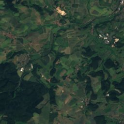
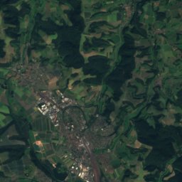
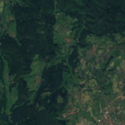
Nesse, HesseRiver11 kmWNesse, Hesse
Summits nearbyMountains of Germany
Photo: Gunnar Möller · CC BY-SA 2.0 de · Wikimedia CommonsReport this photo · linked, not stored
Gerberstein24 km SE729 mJuly 21°Gerberstein
Photo: Jörg Braukmann · CC BY-SA 3.0 · Wikimedia CommonsReport this photo · linked, not stored
Rabenkuppe12 km NW515 mJuly 23°Rabenkuppe
Photo: Michael Fiegle · CC BY-SA 3.0 · Wikimedia CommonsReport this photo · linked, not stored
Hohes Rode18 km NE493 mJuly 23°Hohes Rode
Photo: Jürgen Katzer · CC BY-SA 3.0 · Wikimedia CommonsReport this photo · linked, not stored
Plesse16 km N480 mJuly 23°Plesse
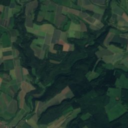
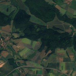
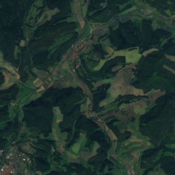
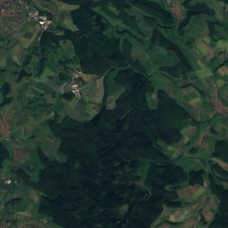
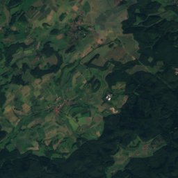
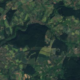
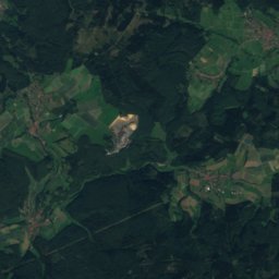
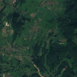
Satellite: Sentinel-2 cloudless 2016 by EOX IT Services GmbH · CC BY 4.0 · Contains modified Copernicus Sentinel data 2016
Herzberg (Richelsdorf Hills)19 km W478 mJuly 23°Herzberg (Richelsdorf Hills)
Photo: Metilsteiner · CC BY 3.0 · Wikimedia CommonsReport this photo · linked, not stored
Dürrenberg, Thuringia15 km SE453 mJuly 23°Dürrenberg, Thuringia
Stay nearby

Towns close by

Creuzburg
Photo: Unknown author · CC BY-SA 3.0 · Wikimedia CommonsReport this photo · linked, not stored

Creuzburg

Thuringia · 2.0 km NE
14°Oct high
12wet days
39score
Creuzburg
Willershausen
Photo: CSvBibra · Public domain · Wikimedia CommonsReport this photo · linked, not stored

Willershausen

Hesse · 3.0 km W
13°Oct high
12wet days
37score
Willershausen
Ifta
Photo: Metilsteiner · CC BY-SA 3.0 · Wikimedia CommonsReport this photo · linked, not stored

Ifta

Thuringia · 3.6 km NW
13°Oct high
12wet days
37score
Ifta
Krauthausen
Photo: Metilsteiner · CC BY-SA 3.0 · Wikimedia CommonsReport this photo · linked, not stored

Krauthausen

Thuringia · 4.4 km SE
14°Oct high
12wet days
40score
Krauthausen
Around here

Creuzburg and around

Creuzburg
Photo: Unknown author · CC BY-SA 3.0 · Wikimedia CommonsReport this photo · linked, not stored

Creuzburg

Thuringia · Germany
May · Aug–Sepbest months
24°July high
203 maltitude
Creuzburg

Nature

Hainich National Park
Photo: Dietmar Rabich · CC BY-SA 4.0 · Wikimedia CommonsReport this photo · linked, not stored
11 km NE

Hainich National Park

National park
Hainich National Park
Nesse, Thuringia
Photo: Metilsteiner · CC BY 3.0 · Wikimedia CommonsReport this photo · linked, not stored
10 km SE

Nesse, Thuringia

River
Nesse, Thuringia
Elte
Photo: Metilsteiner · CC BY-SA 3.0 · Wikimedia CommonsReport this photo · linked, not stored
9.0 km SW

Elte

River · 199 m
Elte

Mountains

Großer Inselsberg
Photo: Metilsteiner · CC BY-SA 3.0 · Wikimedia CommonsReport this photo · linked, not stored
27 km SE

Großer Inselsberg

917 m · Thuringian Forest
Großer Inselsberg
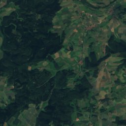
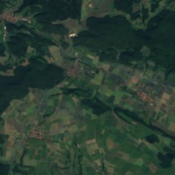
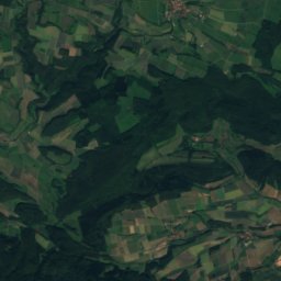
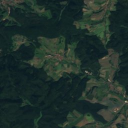
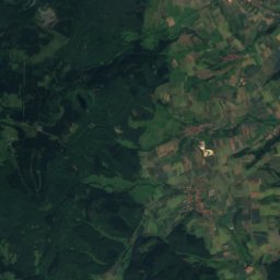
Satellite: Sentinel-2 cloudless 2016 by EOX IT Services GmbH · CC BY 4.0 · Contains modified Copernicus Sentinel data 2016
33 km NW

Kasseler Kuppe

754 m
Kasseler Kuppe
Hoher Meissner
Photo: © Heinrich Stürzl / Wikimedia Commons · CC BY-SA 4.0 · Wikimedia CommonsReport this photo · linked, not stored
33 km NW

Hoher Meissner

753 m
Hoher Meissner

Heritage

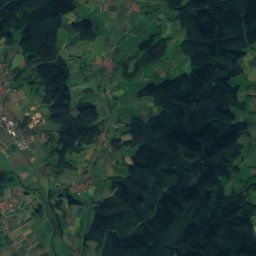
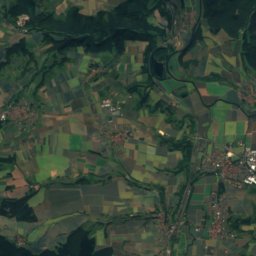
Satellite: Sentinel-2 cloudless 2016 by EOX IT Services GmbH · CC BY 4.0 · Contains modified Copernicus Sentinel data 2016
0.3 km SW

Burg Creuzburg

Heritage monument in Thuringia · 1165
Burg Creuzburg
Stadtkirche Creuzburg
Photo: Michael Sander · CC BY-SA 3.0 · Wikimedia CommonsReport this photo · linked, not stored
under 100 m E

Stadtkirche Creuzburg

Heritage monument in Thuringia
Stadtkirche Creuzburg
Liboriuskapelle, Creuzburg
Photo: Metilsteiner · CC BY-SA 3.0 · Wikimedia CommonsReport this photo · linked, not stored
0.5 km SE

Liboriuskapelle, Creuzburg

Heritage monument in Thuringia
Liboriuskapelle, Creuzburg

Museums

Satellite: Sentinel-2 cloudless 2016 by EOX IT Services GmbH · CC BY 4.0 · Contains modified Copernicus Sentinel data 2016
1.8 km W

Museum auf der Creuzburg

Museum auf der Creuzburg
Bach House
Photo: A.Savin · FAL · Wikimedia CommonsReport this photo · linked, not stored
10 km SE

Bach House

1907
Bach House
Lutherhaus Eisenach
Photo: A.Savin · FAL · Wikimedia CommonsReport this photo · linked, not stored
10 km SE

Lutherhaus Eisenach

Lutherhaus Eisenach