Skip to content
Destinations
Weather & climate
Nature
Outdoors
Culture
Events
Sky & live
Nesse, Thuringia
Photo: Metilsteiner · CC BY 3.0 · Wikimedia Commons
Nesse, ThuringiaReport this photo · linked, not stored
Das verfluchte Jungfernloch
Photo: Metilsteiner · CC BY-SA 3.0 · Wikimedia Commons
Das verfluchte JungfernlochReport this photo · linked, not stored
Das verfluchte Jungfernloch
Eliashöhle
Photo: Lukas Beck · CC BY 4.0 · Wikimedia Commons
EliashöhleReport this photo · linked, not stored
Eliashöhle
Erbstrom
Photo: Kosmo · CC BY-SA 3.0 · Wikimedia Commons
ErbstromReport this photo · linked, not stored
Erbstrom
Böber
Photo: Metilsteiner · CC BY 3.0 · Wikimedia Commons
BöberReport this photo · linked, not stored
Böber
RiverEisenach, Thuringia

Nesse, Thuringia

RiverBest May · Aug–Sep
Elevation–above sea level
Length52 kmsource to mouth
Nearest townEisenach1.7 km
50.98° N, 10.34° EUTC+2 · Central European Summer Time
When to goEisenach · weather score
JanFebMarAprMayJunJulAugSepOctNovDec43October
Best timeMay · Aug–Sep
October: high / low14° / 6°
River

Nesse, Thuringia in brief

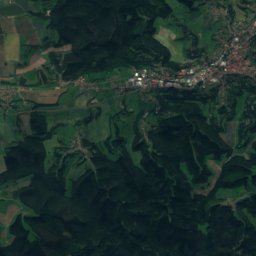
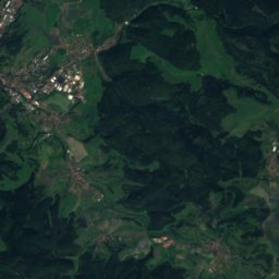
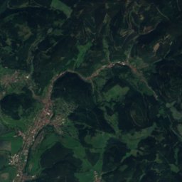
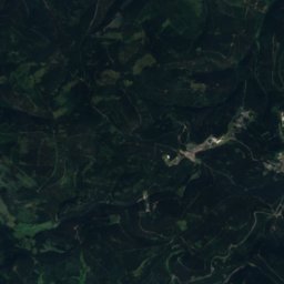
Nesse, Thuringia is a river in Eisenach, Thuringia, Germany.

The nearest town in the atlas is Eisenach, 1.7 km to the W, where the weather is best in May, August and September.

Nesse, Thuringia is 52 km long.

Eisenach: weather and travel guide

Weather nearby now

Forecast for Eisenach
10°
Partly cloudy now
Wind20 km/h
Humidity78%
Cloud cover53%
Today
22 Oct
12°
5°
Fri
23 Oct
13°
6°
3 mm
Sat
24 Oct
10°
5°
3 mm
Sun
25 Oct
13°
7°
14 mm
Mon
26 Oct
12°
6°

Model run 00:00 UTCRefreshed several times a day

The course of the river

As mapped in OpenStreetMap, with the towns of the atlas along its banks.
1234567891011121314
  1. 1Molschleben290 m
  2. 2Friemar287 m
  3. 3Tröchtelborn329 m
  4. 4Eschenbergen301 m
  5. 5Bufleben281 m
  6. 6Warza278 m
  7. 7Wangenheim267 m
  8. 8Sonneborn263 m
  9. 9Brüheim263 m
  10. 10Friedrichswerth259 m
  11. 11Weingarten346 m
  12. 12Ebenheim333 m
  13. 13Haina285 m
  14. 14Eisenach215 m
sourcemouth (or where the mapped line leaves the country)
When to go

The best months around Nesse, Thuringia

Climate of Eisenach

Month score in Eisenach

Comfort, dry days and sunshine · out of 100
15
Jan
22
Feb
22
Mar
56
Apr
65
May
65
Jun
65
Jul
68
Aug
71
Sep
43
Oct
19
Nov
14
Dec
Map

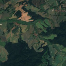
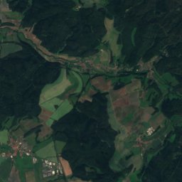
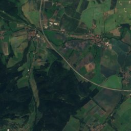
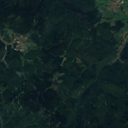
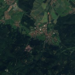
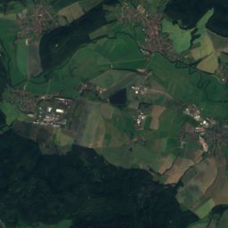
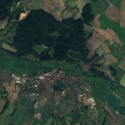
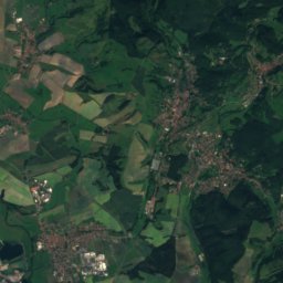
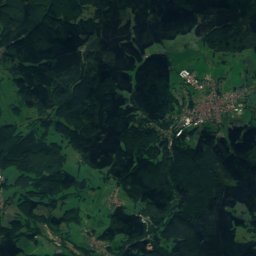
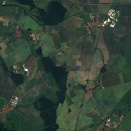
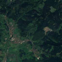
Nesse, Thuringia from above

Nature nearbyAll of Germany
Photo: Metilsteiner · CC BY-SA 3.0 · Wikimedia CommonsReport this photo · linked, not stored
Das verfluchte JungfernlochCave3.0 kmSWDas verfluchte Jungfernloch
Photo: Lukas Beck · CC BY 4.0 · Wikimedia CommonsReport this photo · linked, not stored
EliashöhleCave3.3 kmSWEliashöhle
Photo: Kosmo · CC BY-SA 3.0 · Wikimedia CommonsReport this photo · linked, not stored
ErbstromRiver4.5 kmSEErbstrom
Photo: Metilsteiner · CC BY 3.0 · Wikimedia CommonsReport this photo · linked, not stored
BöberRiver5.1 kmEBöber
Photo: Dk0704 · CC BY-SA 3.0 · Wikimedia CommonsReport this photo · linked, not stored
Wilhelmsthaler SeeLake7.1 kmSWilhelmsthaler See
Photo: Peter Jäger · CC BY-SA 3.0 · Wikimedia CommonsReport this photo · linked, not stored
Kittelsthaler TropfsteinhöhleCave7.3 kmSEKittelsthaler Tropfsteinhöhle
Summits nearbyMountains of Germany
Photo: Metilsteiner · CC BY-SA 3.0 · Wikimedia CommonsReport this photo · linked, not stored
Großer Inselsberg17 km SE917 mJuly 20°Großer Inselsberg
Photo: Lukas Beck · CC BY 4.0 · Wikimedia CommonsReport this photo · linked, not stored
Schönleite17 km SE736 mJuly 21°Schönleite
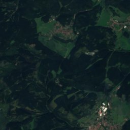
Satellite: Sentinel-2 cloudless 2016 by EOX IT Services GmbH · CC BY 4.0 · Contains modified Copernicus Sentinel data 2016
Rennwegskopf18 km S730 mJuly 21°Rennwegskopf
Photo: Gunnar Möller · CC BY-SA 2.0 de · Wikimedia CommonsReport this photo · linked, not stored
Gerberstein14 km S729 mJuly 21°Gerberstein
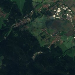
Satellite: Sentinel-2 cloudless 2016 by EOX IT Services GmbH · CC BY 4.0 · Contains modified Copernicus Sentinel data 2016
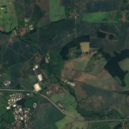
Heuberg, Thuringia21 km SE719 mJuly 21°Heuberg, Thuringia
Photo: Lukas Beck · CC BY 4.0 · Wikimedia CommonsReport this photo · linked, not stored
Judenkopf, Thuringia19 km S712 mJuly 21°Judenkopf, Thuringia
Stay nearby

Towns close by

Eisenach
Photo: A.Savin · FAL · Wikimedia CommonsReport this photo · linked, not stored

Eisenach

Thuringia · 1.7 km W
14°Oct high
12wet days
43score
Eisenach
Wutha-Farnroda
Photo: Metilsteiner · CC BY 3.0 · Wikimedia CommonsReport this photo · linked, not stored

Wutha-Farnroda

Thuringia · 4.8 km SE
14°Oct high
12wet days
42score
Wutha-Farnroda
Krauthausen
Photo: Metilsteiner · CC BY-SA 3.0 · Wikimedia CommonsReport this photo · linked, not stored

Krauthausen

Thuringia · 6.6 km NW
14°Oct high
12wet days
40score
Krauthausen
Thal
Photo: Jungsystems · CC BY-SA 4.0 · Wikimedia CommonsReport this photo · linked, not stored

Thal

Thuringia · 7.9 km SE
13°Oct high
12wet days
39score
Thal
Around here

Eisenach and around

Eisenach
Photo: A.Savin · FAL · Wikimedia CommonsReport this photo · linked, not stored

Eisenach

Thuringia · Germany
May · Aug–Sepbest months
25°July high
215 maltitude
Eisenach

Nature

Erbstrom
Photo: Kosmo · CC BY-SA 3.0 · Wikimedia CommonsReport this photo · linked, not stored
6.1 km SE

Erbstrom

River · 239 m
Erbstrom
Elte
Photo: Metilsteiner · CC BY-SA 3.0 · Wikimedia CommonsReport this photo · linked, not stored
11 km W

Elte

River · 199 m
Elte
Schweina
Photo: Metilsteiner · CC BY 3.0 · Wikimedia CommonsReport this photo · linked, not stored
12 km S

Schweina

River
Schweina

Mountains

Großer Inselsberg
Photo: Metilsteiner · CC BY-SA 3.0 · Wikimedia CommonsReport this photo · linked, not stored
18 km SE

Großer Inselsberg

917 m · Thuringian Forest
Großer Inselsberg
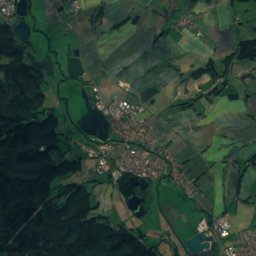
Satellite: Sentinel-2 cloudless 2016 by EOX IT Services GmbH · CC BY 4.0 · Contains modified Copernicus Sentinel data 2016
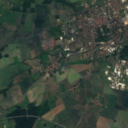
33 km SE

Schmalkalder Loibe

886 m · Thuringian Forest
Schmalkalder Loibe
Schönleite
Photo: Lukas Beck · CC BY 4.0 · Wikimedia CommonsReport this photo · linked, not stored
18 km SE

Schönleite

736 m · Thuringian Forest
Schönleite

Heritage

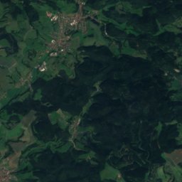
Satellite: Sentinel-2 cloudless 2016 by EOX IT Services GmbH · CC BY 4.0 · Contains modified Copernicus Sentinel data 2016
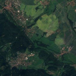
1.7 km S

Wartburg

World Heritage Site · 1067
Wartburg
Sankt Georg (Eisenach)
Photo: Tilman2007 · CC BY-SA 4.0 · Wikimedia CommonsReport this photo · linked, not stored
0.8 km SE

Sankt Georg (Eisenach)

Heritage monument in Thuringia
Sankt Georg (Eisenach)
Kreuzkirche Eisenach
Photo: A.Savin · FAL · Wikimedia CommonsReport this photo · linked, not stored
0.7 km S

Kreuzkirche Eisenach

Kulturdenkmal
Kreuzkirche Eisenach

Museums

Bach House
Photo: A.Savin · FAL · Wikimedia CommonsReport this photo · linked, not stored
1.1 km SE

Bach House

1907
Bach House
Lutherhaus Eisenach
Photo: A.Savin · FAL · Wikimedia CommonsReport this photo · linked, not stored
0.9 km SE

Lutherhaus Eisenach

Lutherhaus Eisenach
Automobile welt eisenach
Photo: Metilsteiner · CC BY-SA 3.0 · Wikimedia CommonsReport this photo · linked, not stored
0.7 km E

Automobile welt eisenach

Automobile museum · 1967
Automobile welt eisenach