Skip to content
Destinations
Weather & climate
Nature
Outdoors
Culture
Events
Sky & live
Grenff
Photo: Revilovs · CC0 · Wikimedia Commons
GrenffReport this photo · linked, not stored
Steina, Hesse
Photo: Maseltov · CC BY-SA 4.0 · Wikimedia Commons
Steina, HesseReport this photo · linked, not stored
Steina, Hesse
Grenzebach
Photo: Tkarcher · CC BY-SA 4.0 · Wikimedia Commons
GrenzebachReport this photo · linked, not stored
Grenzebach
Wiera
Photo: Oliver Deisenroth · CC BY-SA 3.0 · Wikimedia Commons
WieraReport this photo · linked, not stored
Wiera
Grom-Bach
Photo: Harbig28 · CC BY 4.0 · Wikimedia Commons
Grom-BachReport this photo · linked, not stored
Grom-Bach
RiverWillingshausen, Hesse

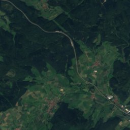
Grenff

RiverBest Jun · Aug–Sep
Elevation–above sea level
Length22 kmsource to mouth
Nearest townWillingshausen5.5 km
50.88° N, 9.26° EUTC+2 · Central European Summer Time
When to goWillingshausen · weather score
JanFebMarAprMayJunJulAugSepOctNovDec41October
Best timeJun · Aug–Sep
October: high / low13° / 6°
River

Grenff in brief

Grenff is a river in Willingshausen, Hesse, Germany.

The nearest town is Willingshausen, 5.5 km to the SW, where the weather is best in June, August and September.

Grenff is 22 km long.

Willingshausen: weather and travel guide

Weather nearby now

Forecast for Willingshausen
10°
Cloudy now
Wind31 km/h
Humidity86%
Cloud cover98%
Today
23 Oct
12°
7°
2 mm
Sat
24 Oct
10°
4°
9 mm
Sun
25 Oct
14°
6°
27 mm
Mon
26 Oct
12°
6°
Tue
27 Oct
16°
8°
1 mm

Model run 12:00 UTCRefreshed several times a day

The course of the river

As mapped in OpenStreetMap, with the towns along its banks.
1
  1. 1Neukirchen263 m
sourcemouth (or where the mapped line leaves the country)
When to go

The best months around Grenff

Climate of Willingshausen

Month score in Willingshausen

Comfort, dry days and sunshine · out of 100
14
Jan
24
Feb
24
Mar
55
Apr
65
May
66
Jun
65
Jul
68
Aug
72
Sep
41
Oct
18
Nov
12
Dec
Map

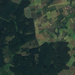
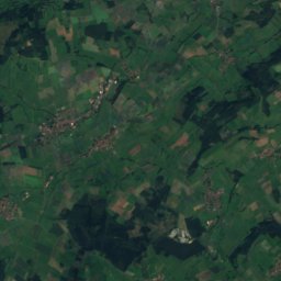
Grenff from above

Nature nearbyAll of Germany
Photo: Maseltov · CC BY-SA 4.0 · Wikimedia CommonsReport this photo · linked, not stored
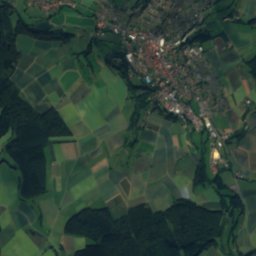
Steina, HesseRiver1.0 kmNSteina, Hesse
Photo: Tkarcher · CC BY-SA 4.0 · Wikimedia CommonsReport this photo · linked, not stored
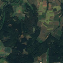
GrenzebachRiver3.0 kmNGrenzebach
Photo: Oliver Deisenroth · CC BY-SA 3.0 · Wikimedia CommonsReport this photo · linked, not stored
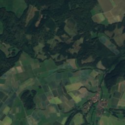
WieraRiver6.3 kmNWWiera
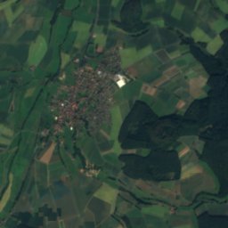
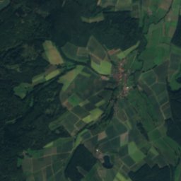
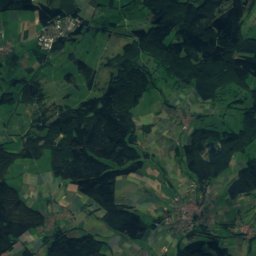
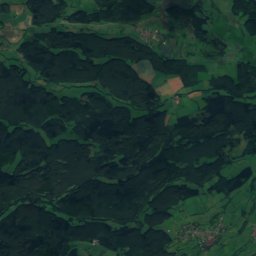
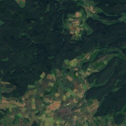
Satellite: Sentinel-2 cloudless 2016 by EOX IT Services GmbH · CC BY 4.0 · Contains modified Copernicus Sentinel data 2016
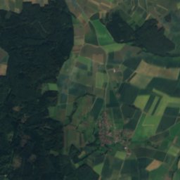
BerfaRiver7.6 kmSBerfa
Photo: Harbig28 · CC BY 4.0 · Wikimedia CommonsReport this photo · linked, not stored
Grom-BachRiver8.6 kmNGrom-Bach
Photo: Tkarcher · CC BY-SA 4.0 · Wikimedia CommonsReport this photo · linked, not stored
GersRiver8.7 kmNGers
Summits nearbyMountains of Germany
Photo: Jörg Braukmann · CC BY-SA 4.0 · Wikimedia CommonsReport this photo · linked, not stored
Wüstegarten19 km NW675 mJuly 22°Wüstegarten
Photo: Jörg Braukmann · CC BY-SA 3.0 · Wikimedia CommonsReport this photo · linked, not stored
Hohes Lohr23 km NW657 mJuly 22°Hohes Lohr
Photo: Pwjg · Public domain · Wikimedia CommonsReport this photo · linked, not stored
Hunsrück19 km NW636 mJuly 22°Hunsrück
Photo: 2micha · CC BY-SA 3.0 · Wikimedia CommonsReport this photo · linked, not stored
Eisenberg (Knüll)18 km E636 mJuly 22°Eisenberg (Knüll)
Photo: 2micha · CC BY-SA 3.0 · Wikimedia CommonsReport this photo · linked, not stored
Knüllköpfchen12 km E634 mJuly 22°Knüllköpfchen
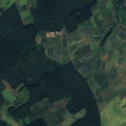
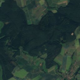
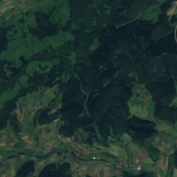
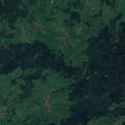
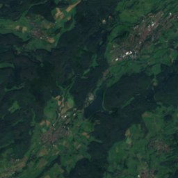
Satellite: Sentinel-2 cloudless 2016 by EOX IT Services GmbH · CC BY 4.0 · Contains modified Copernicus Sentinel data 2016
Waldknüll13 km E624 mJuly 22°Waldknüll
Stay nearby

Towns close by

Willingshausen
Photo: Presse03 · CC BY-SA 3.0 · Wikimedia CommonsReport this photo · linked, not stored

Willingshausen

Hesse · 5.5 km SW
13°Oct high
12wet days
41score
Willingshausen
Schrecksbach
Photo: Presse03 · CC BY-SA 3.0 · Wikimedia CommonsReport this photo · linked, not stored

Schrecksbach

Hesse · 6.0 km S
14°Oct high
12wet days
42score
Schrecksbach
Schwalmstadt
Photo: Oliver Deisenroth · CC BY-SA 3.0 · Wikimedia CommonsReport this photo · linked, not stored

Schwalmstadt

Hesse · 6.1 km NW
13°Oct high
12wet days
42score
Schwalmstadt
Neukirchen
Photo: Oliver Deisenroth · CC BY-SA 3.0 · Wikimedia CommonsReport this photo · linked, not stored

Neukirchen

Hesse · 6.5 km E
13°Oct high
12wet days
40score
Neukirchen
Around here

Willingshausen and around

Willingshausen
Photo: Presse03 · CC BY-SA 3.0 · Wikimedia CommonsReport this photo · linked, not stored

Willingshausen

Hesse · Germany
Jun · Aug–Sepbest months
24°July high
230 maltitude
Willingshausen

Nature

Wiera
Photo: Oliver Deisenroth · CC BY-SA 3.0 · Wikimedia CommonsReport this photo · linked, not stored
7.4 km N

Wiera

River
Wiera
Steina, Hesse
Photo: Maseltov · CC BY-SA 4.0 · Wikimedia CommonsReport this photo · linked, not stored
6.3 km NE

Steina, Hesse

River
Steina, Hesse
Grenzebach
Photo: Tkarcher · CC BY-SA 4.0 · Wikimedia CommonsReport this photo · linked, not stored
7.4 km NE

Grenzebach

River
Grenzebach

Mountains

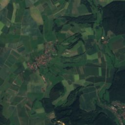
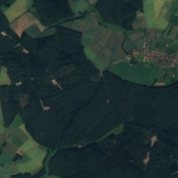
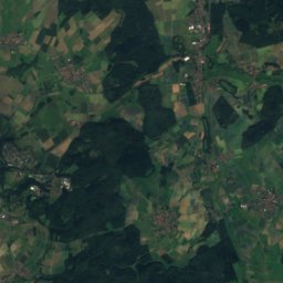
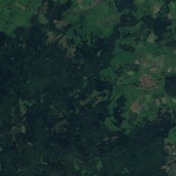
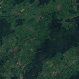
Satellite: Sentinel-2 cloudless 2016 by EOX IT Services GmbH · CC BY 4.0 · Contains modified Copernicus Sentinel data 2016
35 km S

Vogelsberg

773 m · East Hesse Highlands
Vogelsberg
Taufstein
Photo: J. Braukmann Milseburg · CC BY-SA 3.0 · Wikimedia CommonsReport this photo · linked, not stored
37 km S

Taufstein

773 m · Vogelsberg
Taufstein
Hoherodskopf
Photo: MdE · CC BY-SA 3.0 · Wikimedia CommonsReport this photo · linked, not stored
38 km S

Hoherodskopf

764 m · Vogelsberg
Hoherodskopf

Heritage

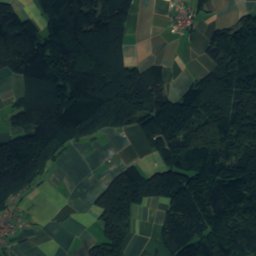
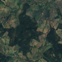
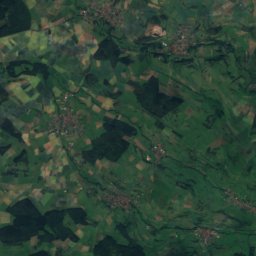
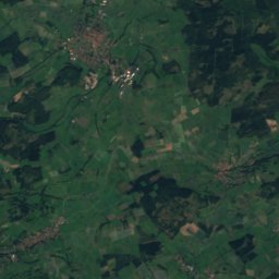
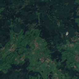
Satellite: Sentinel-2 cloudless 2016 by EOX IT Services GmbH · CC BY 4.0 · Contains modified Copernicus Sentinel data 2016
0.2 km NW

Schloss Willingshausen

Kulturdenkmal
Schloss Willingshausen
Treysa station
Photo: Baummapper · CC BY-SA 3.0 de · Wikimedia CommonsReport this photo · linked, not stored
6.8 km N

Treysa station

Kulturdenkmal · 1908
Treysa station
Evangelical church in Gleimenhain
Photo: F.baumgarten · CC BY-SA 4.0 · Wikimedia CommonsReport this photo · linked, not stored
6.4 km SW

Evangelical church in Gleimenhain

cultural heritage monument in Hesse · 1592
Evangelical church in Gleimenhain

Museums

Satellite: Sentinel-2 cloudless 2016 by EOX IT Services GmbH · CC BY 4.0 · Contains modified Copernicus Sentinel data 2016
0.2 km N

Malerstübchen Willingshausen

Malerstübchen Willingshausen
Museum der Schwalm
Photo: Zebradrei · CC BY-SA 3.0 · Wikimedia CommonsReport this photo · linked, not stored
7.2 km N

Museum der Schwalm

1927
Museum der Schwalm
Märchenhaus
Photo: Ymblanter · CC BY-SA 4.0 · Wikimedia CommonsReport this photo · linked, not stored
12 km SE

Märchenhaus

Märchenhaus