
 Grom-Bach

Photo: Oliver Deisenroth · CC BY-SA 3.0 · Wikimedia Commons
WieraReport this photo · linked, not stored
WieraWieraReport this photo · linked, not stored

Photo: Oliver Deisenroth · CC BY-SA 3.0 · Wikimedia Commons
Lake of NeuenhainReport this photo · linked, not stored
Lake of NeuenhainLake of NeuenhainReport this photo · linked, not stored

Photo: Jörg Braukmann · CC BY-SA 4.0 · Wikimedia Commons
WüstegartenReport this photo · linked, not stored
WüstegartenWüstegartenReport this photo · linked, not stored
RiverSchwalmstadt, Hesse
Gers
RiverBest May · Aug–Sep
Elevation–above sea level
Length10 kmsource to mouth
Nearest townSchwalmstadt2.8 km
50.96° N, 9.21° EUTC+1 · Central European Standard Time
When to goSchwalmstadt · weather score
Best timeMay · Aug–Sep
October: high / low13° / 5°
River
Gers in brief
Gers is a river in Schwalmstadt, Hesse, Germany.
The nearest town is Schwalmstadt, 2.8 km to the S, where the weather is best in May, August and September.
Gers is 10 km long.
Weather nearby now
Forecast for Schwalmstadt4°
Cloudy now
Today
31 Oct
9°
2°
Sun
1 Nov
9°
5°
Mon
2 Nov
9°
2°
Tue
3 Nov
7°
2°
Wed
4 Nov
8°
4°
1 mm
Model run 12:00 UTCRefreshed several times a day
The course of the river
As mapped in OpenStreetMap, with the towns along its banks.- 1Schwalmstadt235 m
sourcemouth (or where the mapped line leaves the country)
Map
Gers from above
Nature nearbyAll of Germany


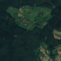
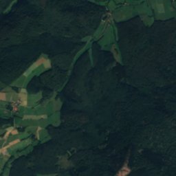
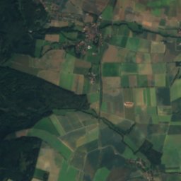
Summits nearbyMountains of Germany


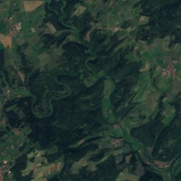
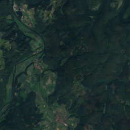
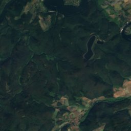
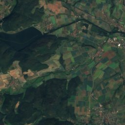
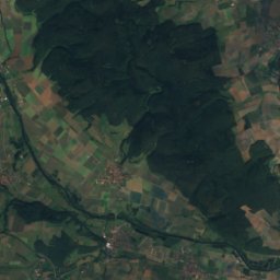
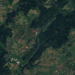
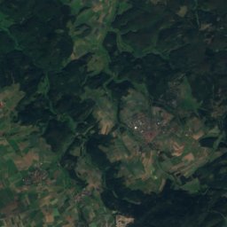
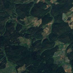
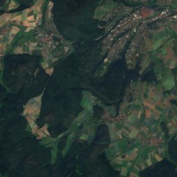
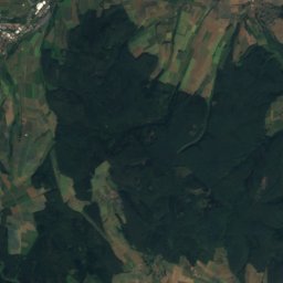
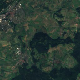
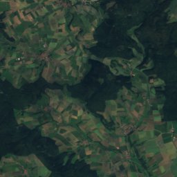
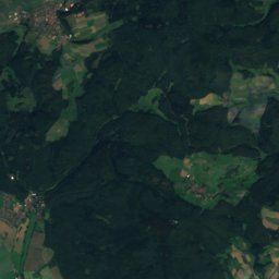
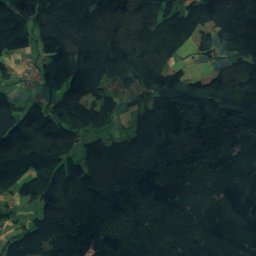
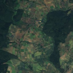
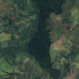
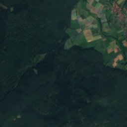
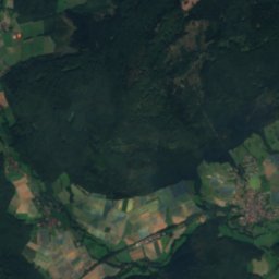
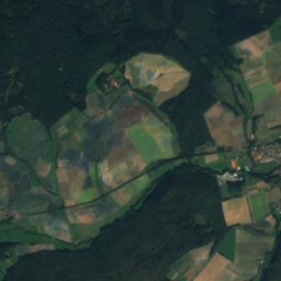
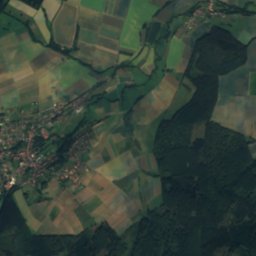
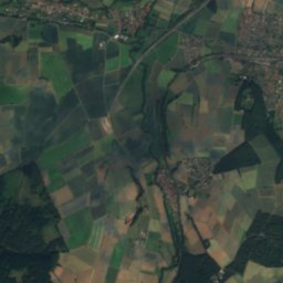
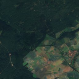
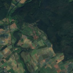
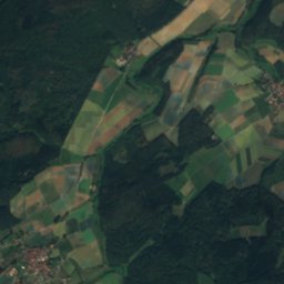
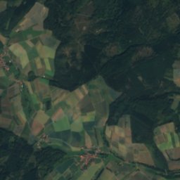
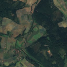
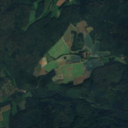
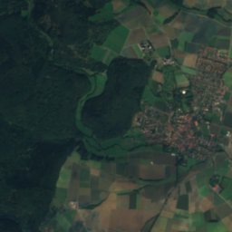
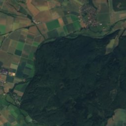
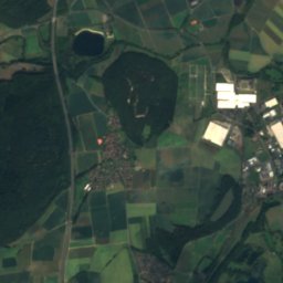
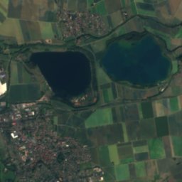
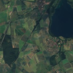
Satellite: Sentinel-2 cloudless 2016 by EOX IT Services GmbH · CC BY 4.0 · Contains modified Copernicus Sentinel data 2016


Stay nearby
Towns close by


Around here
Schwalmstadt and around
Nature


Mountains

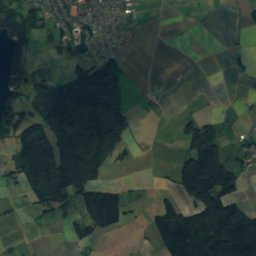
Satellite: Sentinel-2 cloudless 2016 by EOX IT Services GmbH · CC BY 4.0 · Contains modified Copernicus Sentinel data 2016
Große Aschkoppe
640 m · Kellerwald
Heritage


Museums

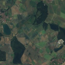
Satellite: Sentinel-2 cloudless 2016 by EOX IT Services GmbH · CC BY 4.0 · Contains modified Copernicus Sentinel data 2016
Hessisches Braunkohle Bergbaumuseum
Mining museum · 1992


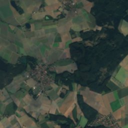
Satellite: Sentinel-2 cloudless 2016 by EOX IT Services GmbH · CC BY 4.0 · Contains modified Copernicus Sentinel data 2016