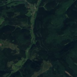
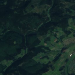
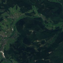
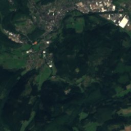
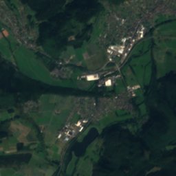
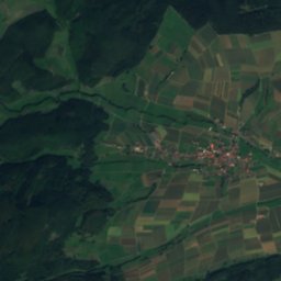
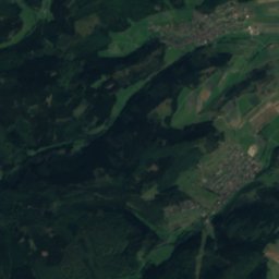
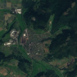
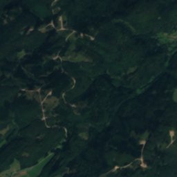
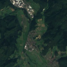
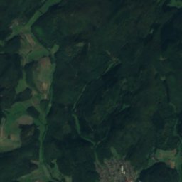
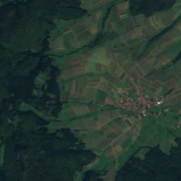
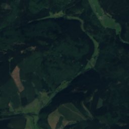
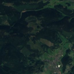
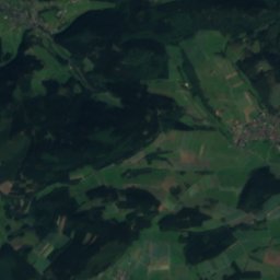
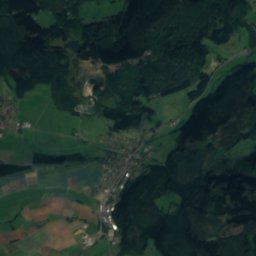
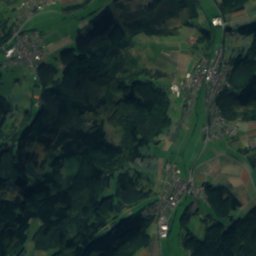
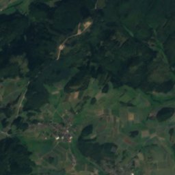
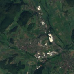
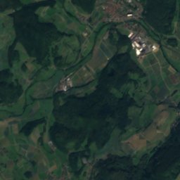
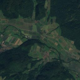
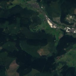
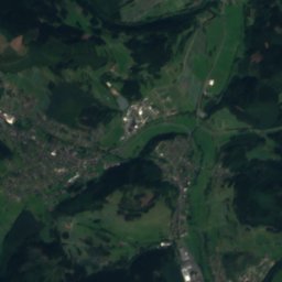
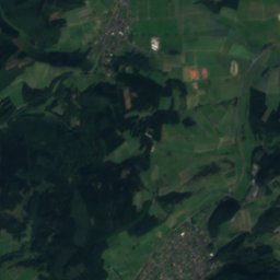
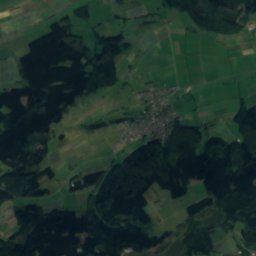
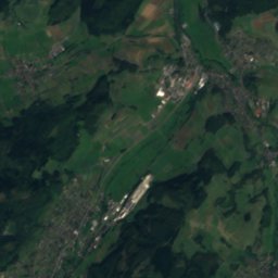
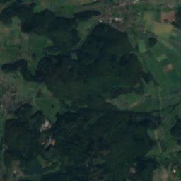
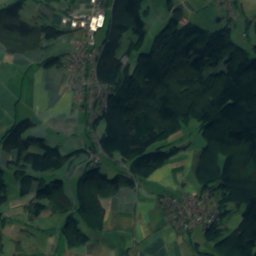
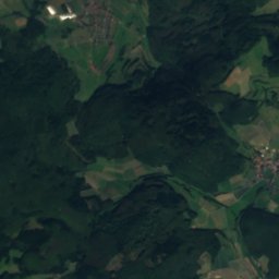
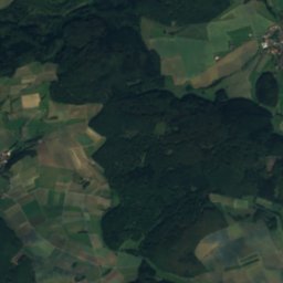
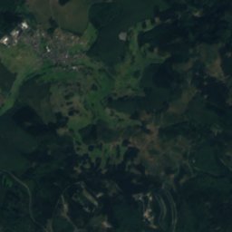
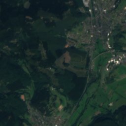
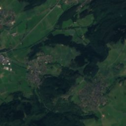
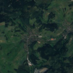
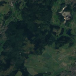
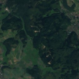
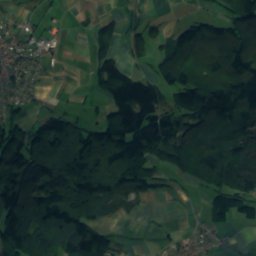
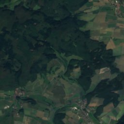
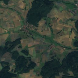
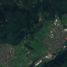
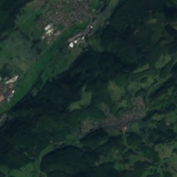
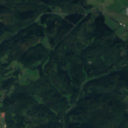
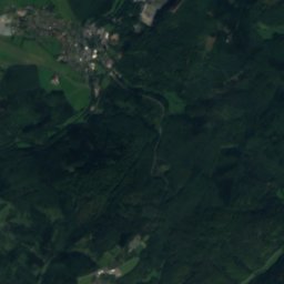
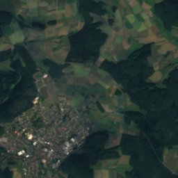
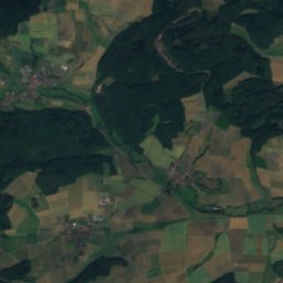
Satellite: Sentinel-2 cloudless 2016 by EOX IT Services GmbH · CC BY 4.0 · Contains modified Copernicus Sentinel data 2016

Photo: Alexander Blecher, blecher.info · CC BY-SA 4.0 · Wikimedia Commons
Silbersee, BreidenbachReport this photo · linked, not stored
Silbersee, BreidenbachSilbersee, BreidenbachReport this photo · linked, not stored
 Dautphe
 Perf

Photo: Alexander Blecher, blecher.info · CC BY-SA 4.0 · Wikimedia Commons
BoxbachReport this photo · linked, not stored
BoxbachBoxbachReport this photo · linked, not stored
RiverBreidenbach, Hesse
Gansbach
River353 m elevationBest Jun · Aug–Sep
Elevation353 mabove sea level
Length11 kmsource to mouth
Nearest townBreidenbach5.2 km
50.84° N, 8.47° EElevation 353 mUTC+2 · Central European Summer Time
When to goBreidenbach · weather score
Best timeJun · Aug–Sep
October: high / low13° / 5°
River
Gansbach in brief
Gansbach is a river in Breidenbach, Hesse, Germany.
It lies at 353 m above sea level.
The nearest town is Breidenbach, 5.2 km to the N, where the weather is best in June, August and September.
Gansbach is 11 km long.
Weather nearby now
Forecast for Breidenbach5°
Cloudy now
Today
24 Oct
10°
4°
6 mm
Sun
25 Oct
13°
5°
29 mm
Mon
26 Oct
12°
5°
1 mm
Tue
27 Oct
15°
8°
2 mm
Wed
28 Oct
13°
7°
Model run 00:00 UTCRefreshed several times a day
When to go
Climate of BreidenbachThe best months around Gansbach
Month score in Breidenbach
Comfort, dry days and sunshine · out of 10015
Jan
22
Feb
22
Mar
50
Apr
65
May
66
Jun
65
Jul
67
Aug
71
Sep
36
Oct
15
Nov
13
Dec
Map
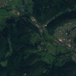
Gansbach from above
Nature nearbyAll of Germany
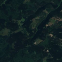
Satellite: Sentinel-2 cloudless 2016 by EOX IT Services GmbH · CC BY 4.0 · Contains modified Copernicus Sentinel data 2016

Photo: Alexander Blecher, blecher.info · CC BY-SA 4.0 · Wikimedia CommonsReport this photo · linked, not stored


Photo: Alexander Blecher, blecher.info · CC BY-SA 4.0 · Wikimedia CommonsReport this photo · linked, not stored
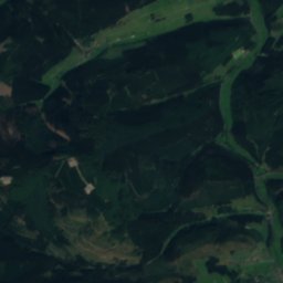
Satellite: Sentinel-2 cloudless 2016 by EOX IT Services GmbH · CC BY 4.0 · Contains modified Copernicus Sentinel data 2016
Summits nearbyMountains of Germany


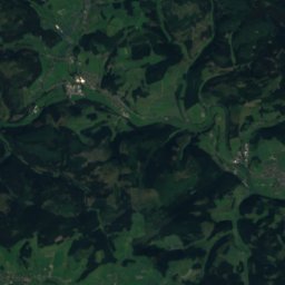
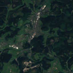
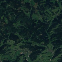
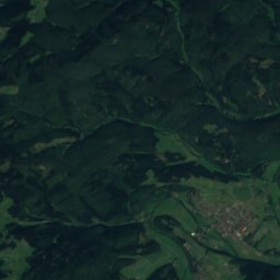
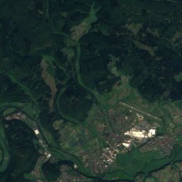
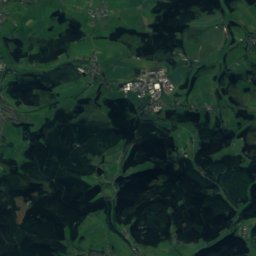
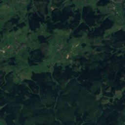
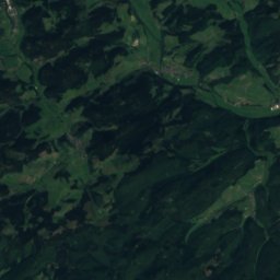
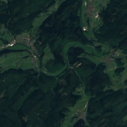
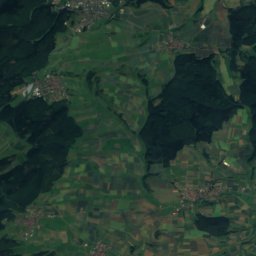
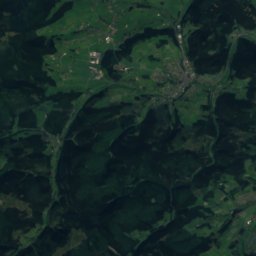
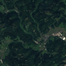
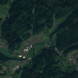
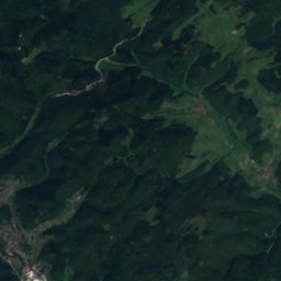
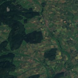
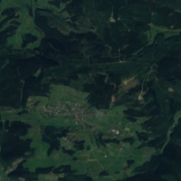
Satellite: Sentinel-2 cloudless 2016 by EOX IT Services GmbH · CC BY 4.0 · Contains modified Copernicus Sentinel data 2016
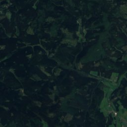
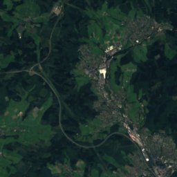
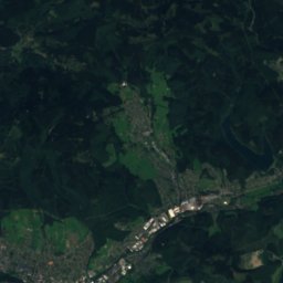
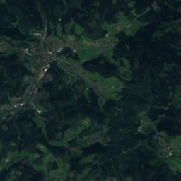
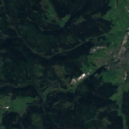
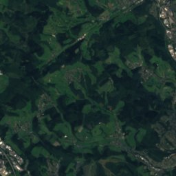
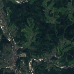
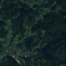
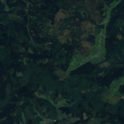
Satellite: Sentinel-2 cloudless 2016 by EOX IT Services GmbH · CC BY 4.0 · Contains modified Copernicus Sentinel data 2016
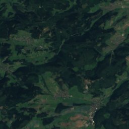
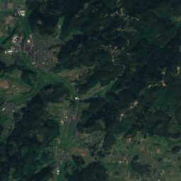
Satellite: Sentinel-2 cloudless 2016 by EOX IT Services GmbH · CC BY 4.0 · Contains modified Copernicus Sentinel data 2016
Stay nearby
Towns close by

Photo: Photo: Eckhard Henkel / Wikimedia Commons / CC BY-SA 3.0 DE · CC BY-SA 3.0 de · Wikimedia CommonsReport this photo · linked, not stored
Breidenbach
Hesse · 5.2 km N
13°Oct high
12wet days
36score

Photo: Foto von Hydro bei Wikipedia · CC BY-SA 4.0 · Wikimedia CommonsReport this photo · linked, not stored
Biedenkopf
Hesse · 8.9 km NE
13°Oct high
12wet days
36score

Photo: © Manuel Heinrich / Wikimedia Commons / CC-BY-SA-2.5 · CC BY-SA 3.0 de · Wikimedia CommonsReport this photo · linked, not stored
Bad Endbach
Hesse · 10 km S
13°Oct high
12wet days
36score

Around here
Breidenbach and around
Photo: Photo: Eckhard Henkel / Wikimedia Commons / CC BY-SA 3.0 DE · CC BY-SA 3.0 de · Wikimedia CommonsReport this photo · linked, not stored
Breidenbach
Hesse · Germany
Jun · Aug–Sepbest months
24°July high
327 maltitude
Nature
Photo: Alexander Blecher, blecher.info · CC BY-SA 4.0 · Wikimedia CommonsReport this photo · linked, not stored
Boxbach
River
Mountains

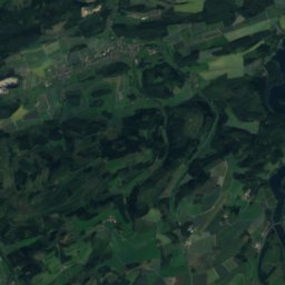
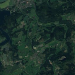
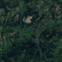
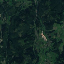
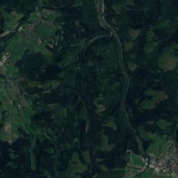
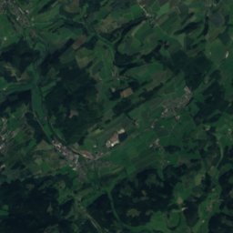
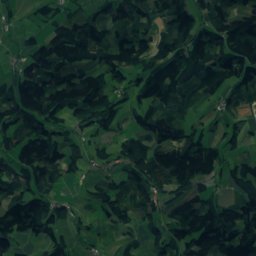
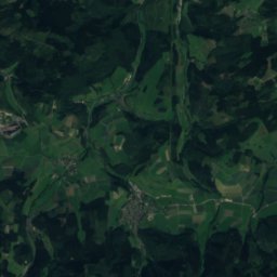
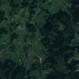
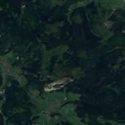
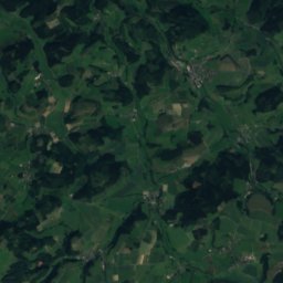
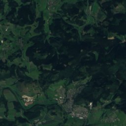
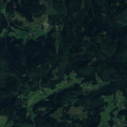
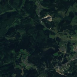
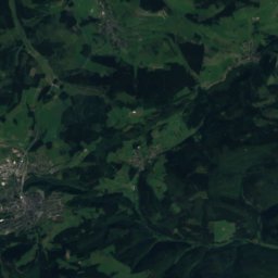
Satellite: Sentinel-2 cloudless 2016 by EOX IT Services GmbH · CC BY 4.0 · Contains modified Copernicus Sentinel data 2016
Hunau-Gipfel
818 m

Heritage

Photo: Foto von Hydro bei Wikipedia · CC BY-SA 4.0 · Wikimedia CommonsReport this photo · linked, not stored
Evangelical Church Breidenbach
Kulturdenkmal





Satellite: Sentinel-2 cloudless 2016 by EOX IT Services GmbH · CC BY 4.0 · Contains modified Copernicus Sentinel data 2016
Evangelische Kirche, Breidenbach
cultural heritage monument in Hesse


Wittgenstein Castle
architectural heritage monument in North Rhine-Westphalia · 1296
Museums

Photo: Alexander Blecher, blecher.info · CC BY-SA 4.0 · Wikimedia CommonsReport this photo · linked, not stored

Heimatmuseum Banfetal
Local museum · 1965

Photo: Photo: Eckhard Henkel / Wikimedia Commons / CC BY-SA 3.0 DE · CC BY-SA 3.0 de · Wikimedia CommonsReport this photo · linked, not stored

Hinterlandmuseum Biedenkopf Castle
1908


Nationales Automuseum – The Loh Collection
Automobile museum · 2023