
 Perf

Photo: Gerold Rosenberg (talk) 17:41, 4 April 2014 (UTC) · CC BY-SA 3.0 · Wikimedia Commons
SiegbachReport this photo · linked, not stored
SiegbachSiegbachReport this photo · linked, not stored
 Schelde

Photo: Wikihunter99 · CC BY-SA 3.0 · Wikimedia Commons
Jagd-Berg, HesseReport this photo · linked, not stored
Jagd-Berg, HesseJagd-Berg, HesseReport this photo · linked, not stored
RiverBad Endbach, Hesse
Dautphe
RiverBest Jun · Aug–Sep
Elevation–above sea level
Length8.8 kmsource to mouth
Nearest townBad Endbach5.3 km
50.80° N, 8.51° EUTC+2 · Central European Summer Time
When to goBad Endbach · weather score
Best timeJun · Aug–Sep
October: high / low13° / 5°
River
Dautphe in brief
Dautphe is a river in Bad Endbach, Hesse, Germany.
The nearest town in the atlas is Bad Endbach, 5.3 km to the S, where the weather is best in June, August and September.
Dautphe is 8.8 km long.
Weather nearby now
Forecast for Bad Endbach6°
Cloudy now
Today
23 Oct
11°
5°
3 mm
Sat
24 Oct
10°
4°
12 mm
Sun
25 Oct
13°
5°
31 mm
Mon
26 Oct
12°
5°
Tue
27 Oct
16°
8°
2 mm
Model run 12:00 UTCRefreshed several times a day
When to go
Climate of Bad EndbachThe best months around Dautphe
Month score in Bad Endbach
Comfort, dry days and sunshine · out of 10011
Jan
20
Feb
20
Mar
51
Apr
64
May
65
Jun
65
Jul
67
Aug
70
Sep
36
Oct
12
Nov
10
Dec
Map
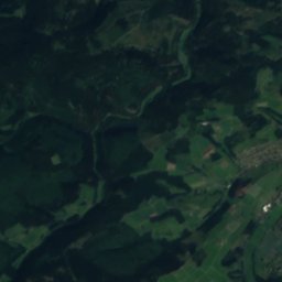
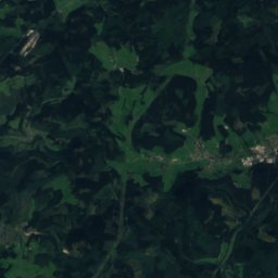
Dautphe from above
Nature nearbyAll of Germany

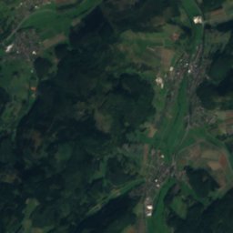
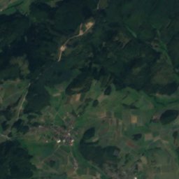
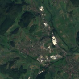
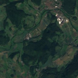
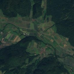
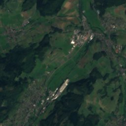
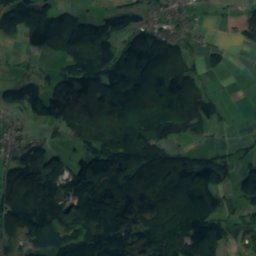
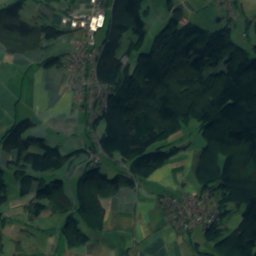
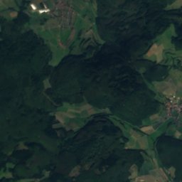
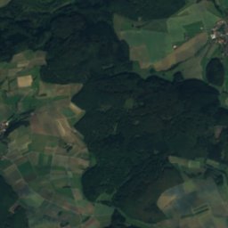
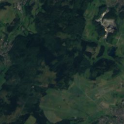
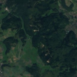
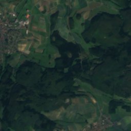
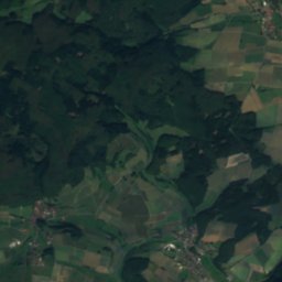
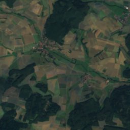
Satellite: Sentinel-2 cloudless 2016 by EOX IT Services GmbH · CC BY 4.0 · Contains modified Copernicus Sentinel data 2016
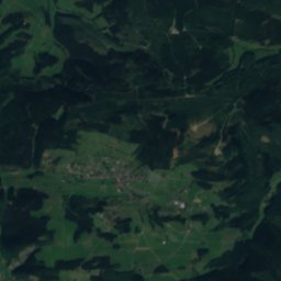
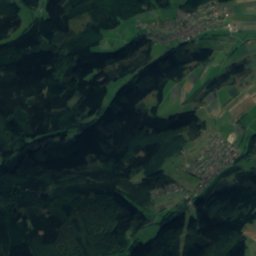
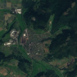
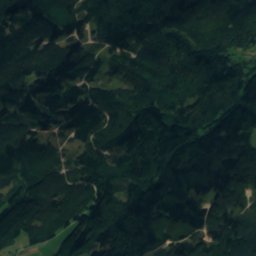
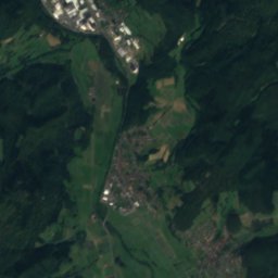
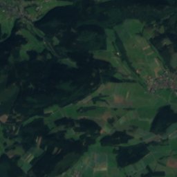
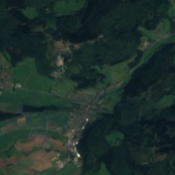
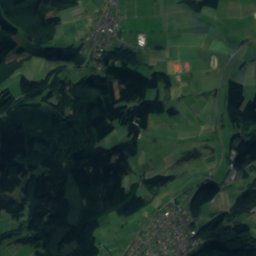
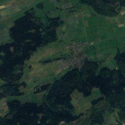
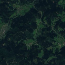
Satellite: Sentinel-2 cloudless 2016 by EOX IT Services GmbH · CC BY 4.0 · Contains modified Copernicus Sentinel data 2016

Photo: Gerold Rosenberg (talk) 17:41, 4 April 2014 (UTC) · CC BY-SA 3.0 · Wikimedia CommonsReport this photo · linked, not stored

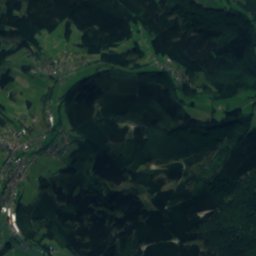
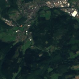
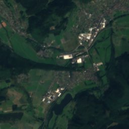
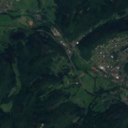
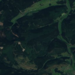
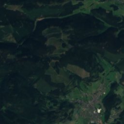
Summits nearbyMountains of Germany

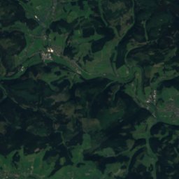
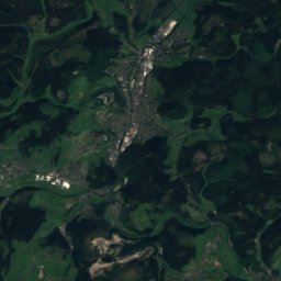
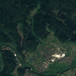
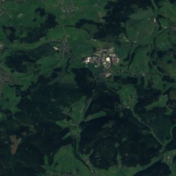
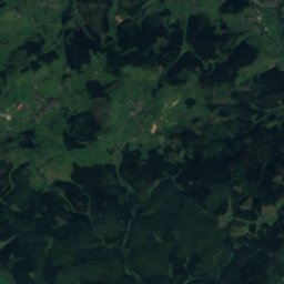
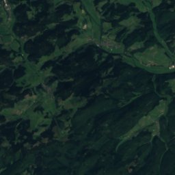
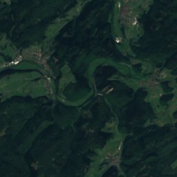
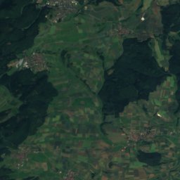
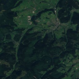
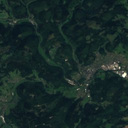
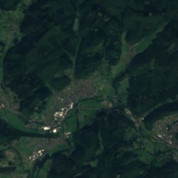
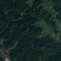
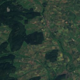
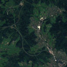
Satellite: Sentinel-2 cloudless 2016 by EOX IT Services GmbH · CC BY 4.0 · Contains modified Copernicus Sentinel data 2016
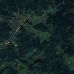
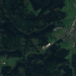
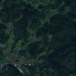
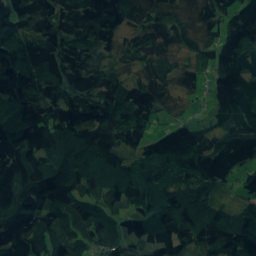
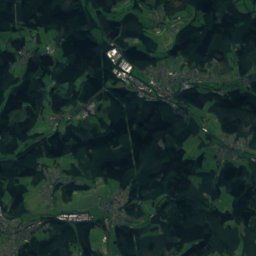
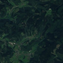
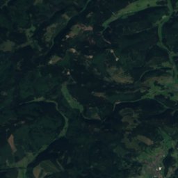
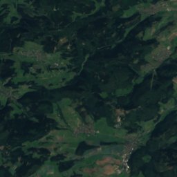
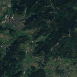
Satellite: Sentinel-2 cloudless 2016 by EOX IT Services GmbH · CC BY 4.0 · Contains modified Copernicus Sentinel data 2016
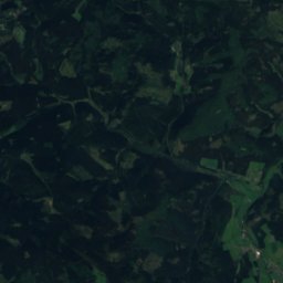
Satellite: Sentinel-2 cloudless 2016 by EOX IT Services GmbH · CC BY 4.0 · Contains modified Copernicus Sentinel data 2016
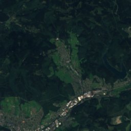
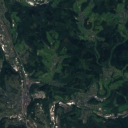
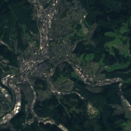
Satellite: Sentinel-2 cloudless 2016 by EOX IT Services GmbH · CC BY 4.0 · Contains modified Copernicus Sentinel data 2016
Satellite: Sentinel-2 cloudless 2016 by EOX IT Services GmbH · CC BY 4.0 · Contains modified Copernicus Sentinel data 2016
Stay nearby
Towns close by

Photo: © Manuel Heinrich / Wikimedia Commons / CC-BY-SA-2.5 · CC BY-SA 3.0 de · Wikimedia CommonsReport this photo · linked, not stored
Bad Endbach
Hesse · 5.3 km S
13°Oct high
12wet days
36score

Photo: Gerold Rosenberg (talk) 21:51, 17 June 2016 (UTC) · CC BY-SA 3.0 · Wikimedia CommonsReport this photo · linked, not stored
Gladenbach
Hesse · 5.6 km SE
13°Oct high
12wet days
39score

Photo: Gerold Rosenberg (talk) 19:12, 14 June 2014 (UTC) · CC BY-SA 3.0 · Wikimedia CommonsReport this photo · linked, not stored
Siegbach
Hesse · 9.4 km SW
13°Oct high
12wet days
35score

Photo: © Heinrich Stürzl / Wikimedia Commons · CC BY-SA 4.0 · Wikimedia CommonsReport this photo · linked, not stored
Dilschhausen
Hesse · 10 km E
13°Oct high
12wet days
38score
Around here
Bad Endbach and around
Photo: © Manuel Heinrich / Wikimedia Commons / CC-BY-SA-2.5 · CC BY-SA 3.0 de · Wikimedia CommonsReport this photo · linked, not stored
Bad Endbach
Hesse · Germany
Jun · Aug–Sepbest months
24°July high
359 maltitude
Nature

Photo: Gerold Rosenberg (talk) 17:41, 4 April 2014 (UTC) · CC BY-SA 3.0 · Wikimedia CommonsReport this photo · linked, not stored
Siegbach
River

Photo: Gerold Rosenberg (talk) 17:05, 25 June 2016 (UTC) · CC BY-SA 3.0 · Wikimedia CommonsReport this photo · linked, not stored
Bieber (Lahn)
River
Mountains
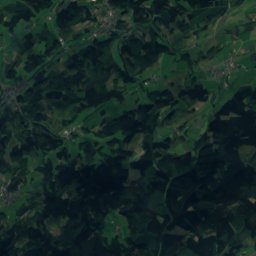
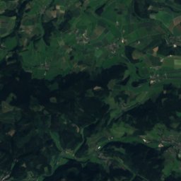
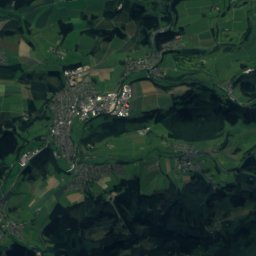
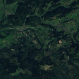
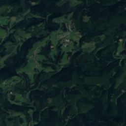
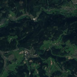
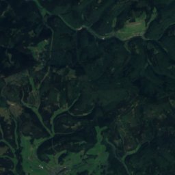
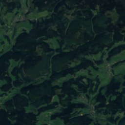
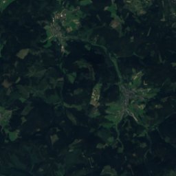
Satellite: Sentinel-2 cloudless 2016 by EOX IT Services GmbH · CC BY 4.0 · Contains modified Copernicus Sentinel data 2016
Großer Kopf
740 m · Rothaar Mountains

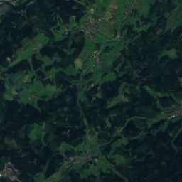
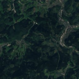
Heritage

Photo: H2OMy at German Wikipedia · CC BY-SA 3.0 de · Wikimedia CommonsReport this photo · linked, not stored
Old church in Wommelshausen
cultural heritage monument in Hesse · 1100

Photo: GR Second Life (talk) 10:39, 27 May 2017 (UTC) · CC BY-SA 3.0 · Wikimedia CommonsReport this photo · linked, not stored
Evangelische Kirche Günterod
cultural heritage monument in Hesse · 1185

Photo: H2OMy at German Wikipedia · Public domain · Wikimedia CommonsReport this photo · linked, not stored
Evangelische Kirche Hartenrod
cultural heritage monument in Hesse · 1856
Museums


Satellite: Sentinel-2 cloudless 2016 by EOX IT Services GmbH · CC BY 4.0 · Contains modified Copernicus Sentinel data 2016
Kunst- und Kulturhaus "Alte Schule" (Bad Endbach)
Satellite: Sentinel-2 cloudless 2016 by EOX IT Services GmbH · CC BY 4.0 · Contains modified Copernicus Sentinel data 2016
Kneipp-Museum (Bad Endbach)
1998




Satellite: Sentinel-2 cloudless 2016 by EOX IT Services GmbH · CC BY 4.0 · Contains modified Copernicus Sentinel data 2016