Skip to content
Destinations
Weather & climate
Nature
Outdoors
Culture
Events
Sky & live
Breg
Photo: Haseluenne · CC BY-SA 3.0 · Wikimedia Commons
BregReport this photo · linked, not stored
Danube
Photo: Gabor Eszes (UED77) · CC BY-SA 3.0 · Wikimedia Commons
DanubeReport this photo · linked, not stored
Danube
Blindensee
Photo: Thomas Berwing · CC BY-SA 4.0 · Wikimedia Commons
BlindenseeReport this photo · linked, not stored
Blindensee
Triberg Waterfalls
Photo: MargaritaGagina · CC BY-SA 4.0 · Wikimedia Commons
Triberg WaterfallsReport this photo · linked, not stored
Triberg Waterfalls
Bergsee, Baden-Wurttemberg
Photo: Prolineserver · CC BY-SA 3.0 · Wikimedia Commons
Bergsee, Baden-WurttembergReport this photo · linked, not stored
Bergsee, Baden-Wurttemberg
RiverSchönwald im Schwarzwald, Baden-Wurttemberg

Breg

River1,078 m elevationBest Jun–Aug
Elevation1,078 mabove sea level
Length49 kmsource to mouth
Nearest townSchönwald im Schwarzwald3.8 km
48.10° N, 8.16° EElevation 1,078 mUTC+2 · Central European Summer Time
When to goSchönwald im Schwarzwald · weather score
JanFebMarAprMayJunJulAugSepOctNovDec26October
Best timeJun–Aug
October: high / low11° / 4°
River

Breg in brief

Breg is a river in Schönwald im Schwarzwald, Baden-Wurttemberg, Germany.

It lies at 1,078 m above sea level.

The nearest town in the atlas is Schönwald im Schwarzwald, 3.8 km to the E, where the weather is best in June, July and August.

Breg is 49 km long.

Schönwald im Schwarzwald: weather and travel guide

Weather nearby now

Forecast for Schönwald im Schwarzwald
8°
Partly cloudy now
Wind13 km/h
Humidity60%
Cloud cover22%
Today
22 Oct
8°
2°
Fri
23 Oct
7°
3°
5 mm
Sat
24 Oct
5°
1°
4 mm
Sun
25 Oct
9°
3°
22 mm
Mon
26 Oct
9°
2°
2 mm

Model run 00:00 UTCRefreshed several times a day

The course of the river

As mapped in OpenStreetMap, with the towns of the atlas along its banks.
sourcemouth (or where the mapped line leaves the country)
When to go

The best months around Breg

Climate of Schönwald im Schwarzwald

Month score in Schönwald im Schwarzwald

Comfort, dry days and sunshine · out of 100
15
Jan
21
Feb
18
Mar
24
Apr
43
May
62
Jun
64
Jul
64
Aug
55
Sep
26
Oct
16
Nov
13
Dec
Map

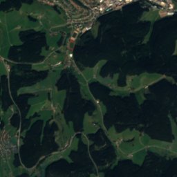
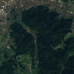
Breg from above

Nature nearbyAll of Germany
Photo: Gabor Eszes (UED77) · CC BY-SA 3.0 · Wikimedia CommonsReport this photo · linked, not stored
DanubeRiverunder 100 mSWDanube
Photo: Thomas Berwing · CC BY-SA 4.0 · Wikimedia CommonsReport this photo · linked, not stored
BlindenseeLake3.5 kmNEBlindensee
Photo: MargaritaGagina · CC BY-SA 4.0 · Wikimedia CommonsReport this photo · linked, not stored
Triberg WaterfallsWaterfall6.4 kmNETriberg Waterfalls
Photo: Prolineserver · CC BY-SA 3.0 · Wikimedia CommonsReport this photo · linked, not stored
Bergsee, Baden-WurttembergLake6.5 kmNEBergsee, Baden-Wurttemberg
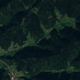
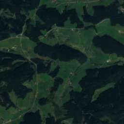
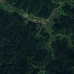
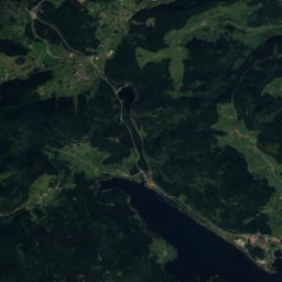
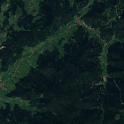
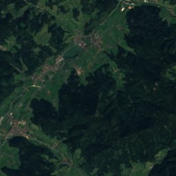
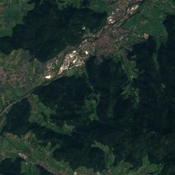
Satellite: Sentinel-2 cloudless 2016 by EOX IT Services GmbH · CC BY 4.0 · Contains modified Copernicus Sentinel data 2016
Hintere BregRiver6.5 kmSEHintere Breg
Photo: Adrian Thomale · CC BY-SA 3.0 · Wikimedia CommonsReport this photo · linked, not stored
ZweribachwasserfälleWaterfall7.4 kmSWZweribachwasserfälle
Summits nearbyMountains of Germany
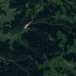
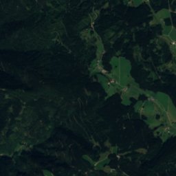
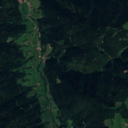
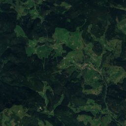
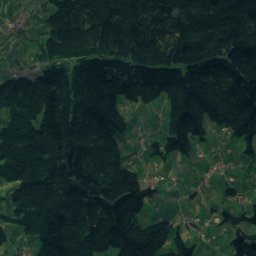
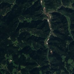
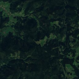
Satellite: Sentinel-2 cloudless 2016 by EOX IT Services GmbH · CC BY 4.0 · Contains modified Copernicus Sentinel data 2016
P.130625 km SW1,306 mJuly 17°P.1306
Photo: © Jörgens.mi · CC BY-SA 3.0 · Wikimedia CommonsReport this photo · linked, not stored
Kandel11 km W1,241 mJuly 18°Kandel
Photo: Kopoltra · CC BY-SA 3.0 · Wikimedia CommonsReport this photo · linked, not stored
Hinterwaldkopf22 km SW1,199 mJuly 19°Hinterwaldkopf
Photo: Bermicourt · CC BY-SA 4.0 · Wikimedia CommonsReport this photo · linked, not stored
Weißtannenhöhe18 km S1,191 mJuly 19°Weißtannenhöhe
Photo: Flominator · CC BY-SA 3.0 · Wikimedia CommonsReport this photo · linked, not stored
Hochfirst22 km S1,190 mJuly 20°Hochfirst
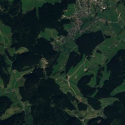
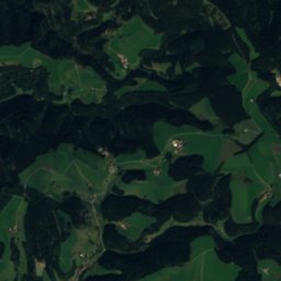
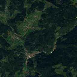
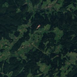
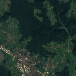
Satellite: Sentinel-2 cloudless 2016 by EOX IT Services GmbH · CC BY 4.0 · Contains modified Copernicus Sentinel data 2016
Obereck3.4 km NW1,178 mJuly 19°Obereck
Stay nearby

Towns close by

Schönwald im Schwarzwald
Photo: Prolineserver · CC BY-SA 3.0 · Wikimedia CommonsReport this photo · linked, not stored

Schönwald im Schwarzwald

Baden-Wurttemberg · 3.8 km E
11°Oct high
13wet days
26score
Schönwald im Schwarzwald
Gütenbach
Photo: Andreas Schwarzkopf · CC BY-SA 3.0 · Wikimedia CommonsReport this photo · linked, not stored

Gütenbach

Baden-Wurttemberg · 5.1 km S
12°Oct high
13wet days
30score
Gütenbach
Furtwangen im Schwarzwald
Photo: Flodur63 · CC BY-SA 4.0 · Wikimedia CommonsReport this photo · linked, not stored

Furtwangen im Schwarzwald

Baden-Wurttemberg · 6.2 km SE
12°Oct high
13wet days
30score
Furtwangen im Schwarzwald
Schonach im Schwarzwald
Photo: Prolineserver · CC BY-SA 3.0 · Wikimedia CommonsReport this photo · linked, not stored

Schonach im Schwarzwald

Baden-Wurttemberg · 6.3 km NE
12°Oct high
13wet days
29score
Schonach im Schwarzwald
Around here

Schönwald im Schwarzwald and around

Schönwald im Schwarzwald
Photo: Prolineserver · CC BY-SA 3.0 · Wikimedia CommonsReport this photo · linked, not stored

Schönwald im Schwarzwald

Baden-Wurttemberg · Germany
Jun–Augbest months
20°July high
995 maltitude
Schönwald im Schwarzwald

Nature

Danube
Photo: Gabor Eszes (UED77) · CC BY-SA 3.0 · Wikimedia CommonsReport this photo · linked, not stored
3.8 km W

Danube

River
Danube
Brigach
Photo: Flominator · CC BY-SA 3.0 · Wikimedia CommonsReport this photo · linked, not stored
5.7 km E

Brigach

River · 676 m
Brigach
Triberg Waterfalls
Photo: MargaritaGagina · CC BY-SA 4.0 · Wikimedia CommonsReport this photo · linked, not stored
2.9 km NE

Triberg Waterfalls

Waterfall
Triberg Waterfalls

Mountains

Feldberg (Black Forest)
Photo: Jörg Braukmann · CC BY-SA 4.0 · Wikimedia CommonsReport this photo · linked, not stored
30 km SW

Feldberg (Black Forest)

1,494 m · Black Forest
Feldberg (Black Forest)
Seebuck
Photo: J. Braukmann Milseburg · CC BY-SA 3.0 · Wikimedia CommonsReport this photo · linked, not stored
30 km SW

Seebuck

1,449 m · Black Forest
Seebuck
Herzogenhorn
Photo: Neptuna · CC BY-SA 3.0 · Wikimedia CommonsReport this photo · linked, not stored
33 km SW

Herzogenhorn

1,416 m · Black Forest
Herzogenhorn

Heritage

St. Märgen's Abbey
Photo: Flominator (talk) · CC BY-SA 3.0 · Wikimedia CommonsReport this photo · linked, not stored
14 km SW

St. Märgen's Abbey

Kulturdenkmal · 1101
St. Märgen's Abbey
St. Lawrence's Church, Sankt Georgen im Schwarzwald
Photo: Prolineserver · CC BY-SA 3.0 · Wikimedia CommonsReport this photo · linked, not stored
9.5 km E

St. Lawrence's Church, Sankt Georgen im Schwarzwald

Kulturdenkmal
St. Lawrence's Church, Sankt Georgen im Schwarzwald
Klosterkirche St. Märgen
Photo: W. Bulach · CC BY-SA 4.0 · Wikimedia CommonsReport this photo · linked, not stored
14 km SW

Klosterkirche St. Märgen

Kulturdenkmal
Klosterkirche St. Märgen

Museums

Schwarzwaldmuseum Triberg
Photo: Avi1111 dr. avishai teicher · CC BY-SA 4.0 · Wikimedia CommonsReport this photo · linked, not stored
3.3 km NE

Schwarzwaldmuseum Triberg

Local museum
Schwarzwaldmuseum Triberg
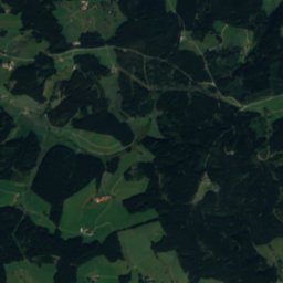
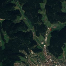
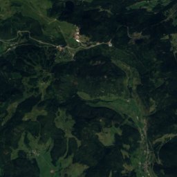
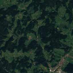
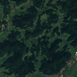
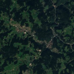
Satellite: Sentinel-2 cloudless 2016 by EOX IT Services GmbH · CC BY 4.0 · Contains modified Copernicus Sentinel data 2016
6.1 km S

German Clock Museum

Horological museum · 1874
German Clock Museum
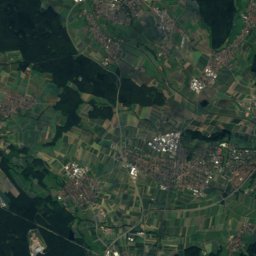
Satellite: Sentinel-2 cloudless 2016 by EOX IT Services GmbH · CC BY 4.0 · Contains modified Copernicus Sentinel data 2016
8.1 km SW

Dorf- und Uhrenmuseum Gütenbach

Horological museum
Dorf- und Uhrenmuseum Gütenbach