Skip to content
Destinations
Weather & climate
Nature
Outdoors
Culture
Events
Sky & live
Beuster
Photo: Ragnar1904 · CC BY-SA 4.0 · Wikimedia Commons
BeusterReport this photo · linked, not stored
Hohnsensee
Photo: Ralf Claus · Public domain · Wikimedia Commons
HohnsenseeReport this photo · linked, not stored
Hohnsensee
Trillkebach
Photo: Ragnar1904 · CC BY-SA 4.0 · Wikimedia Commons
TrillkebachReport this photo · linked, not stored
Trillkebach
Kupferstrang
Photo: Torbenbrinker · CC BY-SA 3.0 · Wikimedia Commons
KupferstrangReport this photo · linked, not stored
Kupferstrang
Beffer
Photo: Gerhard Lobes · CC BY-SA 4.0 · Wikimedia Commons
BefferReport this photo · linked, not stored
Beffer
RiverGroß Düngen, Lower Saxony

Beuster

River81 m elevationBest May–Jun · Sep
Elevation81 mabove sea level
Length6.5 kmsource to mouth
Nearest townGroß Düngen3.9 km
52.12° N, 9.98° EElevation 81 mUTC+2 · Central European Summer Time
When to goGroß Düngen · weather score
JanFebMarAprMayJunJulAugSepOctNovDec45October
Best timeMay–Jun · Sep
October: high / low14° / 7°
River

Beuster in brief

Beuster is a river in Groß Düngen, Lower Saxony, Germany.

It lies at 81 m above sea level.

The nearest town is Groß Düngen, 3.9 km to the SE, where the weather is best in May, June and September.

Beuster is 6.5 km long.

Groß Düngen: weather and travel guide

Weather nearby now

Forecast for Groß Düngen
7°
Rain now
Wind25 km/h
Humidity91%
Cloud cover100%
Today
24 Oct
11°
7°
4 mm
Sun
25 Oct
14°
8°
15 mm
Mon
26 Oct
13°
7°
Tue
27 Oct
16°
8°
2 mm
Wed
28 Oct
14°
8°

Model run 12:00 UTCRefreshed several times a day

When to go

The best months around Beuster

Climate of Groß Düngen

Month score in Groß Düngen

Comfort, dry days and sunshine · out of 100
15
Jan
22
Feb
23
Mar
56
Apr
68
May
65
Jun
64
Jul
65
Aug
71
Sep
45
Oct
17
Nov
14
Dec
Map

Beuster from above

Nature nearbyAll of Germany
Photo: Ralf Claus · Public domain · Wikimedia CommonsReport this photo · linked, not stored
HohnsenseeLake2.9 kmNWHohnsensee
Photo: Ragnar1904 · CC BY-SA 4.0 · Wikimedia CommonsReport this photo · linked, not stored
TrillkebachRiver4.5 kmNWTrillkebach
Photo: Torbenbrinker · CC BY-SA 3.0 · Wikimedia CommonsReport this photo · linked, not stored
KupferstrangRiver6.8 kmNWKupferstrang
Photo: Gerhard Lobes · CC BY-SA 4.0 · Wikimedia CommonsReport this photo · linked, not stored
BefferRiver14 kmSEBeffer
Photo: Bibonius · CC BY-SA 3.0 de · Wikimedia CommonsReport this photo · linked, not stored
BruchgrabenRiver15 kmNWBruchgraben
Photo: Michael Gäbler · CC BY 3.0 · Wikimedia CommonsReport this photo · linked, not stored
HallerRiver16 kmWHaller
Summits nearbyMountains of Germany
Photo: Jochen Teufel · CC BY-SA 3.0 · Wikimedia CommonsReport this photo · linked, not stored
Griesberg6.5 km S359 mJuly 23°Griesberg
Photo: EkkehardDomning · CC BY-SA 4.0 · Wikimedia CommonsReport this photo · linked, not stored
Steinberg (Tosmar)4.5 km S328 mJuly 23°Steinberg (Tosmar)
Photo: EkkehardDomning · CC BY-SA 4.0 · Wikimedia CommonsReport this photo · linked, not stored
Tosmarberg4.5 km SW320 mJuly 23°Tosmarberg
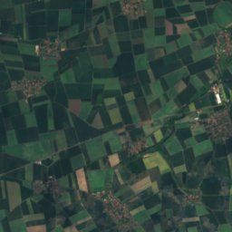
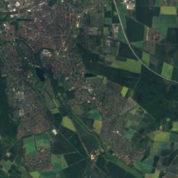
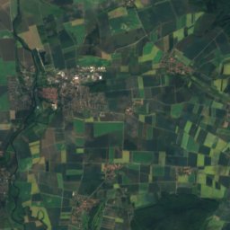
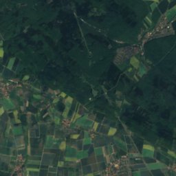
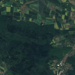
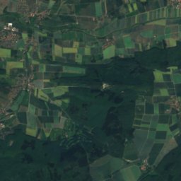
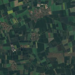
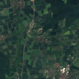
Satellite: Sentinel-2 cloudless 2016 by EOX IT Services GmbH · CC BY 4.0 · Contains modified Copernicus Sentinel data 2016
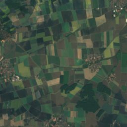
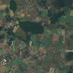
Lerchen-Berg5.6 km W243 mJuly 23°Lerchen-Berg
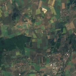
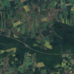
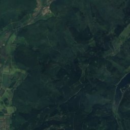
Satellite: Sentinel-2 cloudless 2016 by EOX IT Services GmbH · CC BY 4.0 · Contains modified Copernicus Sentinel data 2016
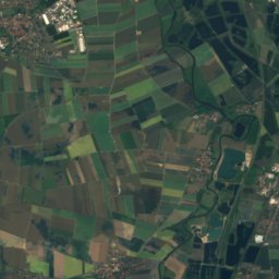
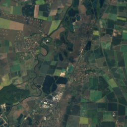
Finkenberg, Lower Saxony6.3 km NW223 mJuly 24°Finkenberg, Lower Saxony
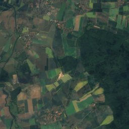
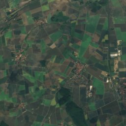
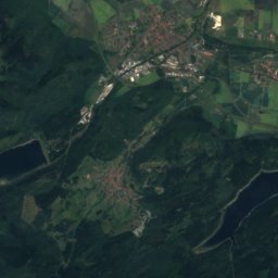
Satellite: Sentinel-2 cloudless 2016 by EOX IT Services GmbH · CC BY 4.0 · Contains modified Copernicus Sentinel data 2016
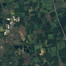
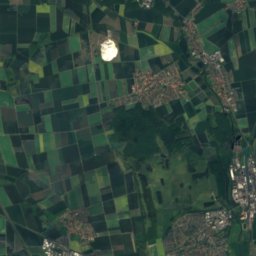
Rottsberg5.5 km NW220 mJuly 23°Rottsberg
Stay nearby

Towns close by

Groß Düngen
Photo: Kirchenfan · CC0 · Wikimedia CommonsReport this photo · linked, not stored

Groß Düngen

Lower Saxony · 3.9 km SE
14°Oct high
12wet days
45score
Groß Düngen
Klein Düngen
Photo: Torbenbrinker · CC BY-SA 3.0 · Wikimedia CommonsReport this photo · linked, not stored

Klein Düngen

Lower Saxony · 4.6 km SE
14°Oct high
12wet days
45score
Klein Düngen
Diekholzen
Photo: Torbenbrinker · CC BY-SA 3.0 · Wikimedia CommonsReport this photo · linked, not stored

Diekholzen

Lower Saxony · 4.8 km SW
14°Oct high
12wet days
42score
Diekholzen
Wesseln
Photo: Torbenbrinker · CC BY-SA 3.0 · Wikimedia CommonsReport this photo · linked, not stored

Wesseln

Lower Saxony · 5.5 km SE
14°Oct high
12wet days
44score
Wesseln
Around here

Groß Düngen and around

Groß Düngen
Photo: Kirchenfan · CC0 · Wikimedia CommonsReport this photo · linked, not stored

Groß Düngen

Lower Saxony · Germany
May–Jun · Sepbest months
24°July high
87 maltitude
Groß Düngen

Nature

Hohnsensee
Photo: Ralf Claus · Public domain · Wikimedia CommonsReport this photo · linked, not stored
6.8 km NW

Hohnsensee

Lake · 85 m
Hohnsensee
Trillkebach
Photo: Ragnar1904 · CC BY-SA 4.0 · Wikimedia CommonsReport this photo · linked, not stored
8.4 km NW

Trillkebach

River
Trillkebach
Kupferstrang
Photo: Torbenbrinker · CC BY-SA 3.0 · Wikimedia CommonsReport this photo · linked, not stored
11 km NW

Kupferstrang

River
Kupferstrang

Mountains

Schalke
Photo: Kassandro · CC BY-SA 3.0 · Wikimedia CommonsReport this photo · linked, not stored
37 km SE

Schalke

763 m · Harz
Schalke
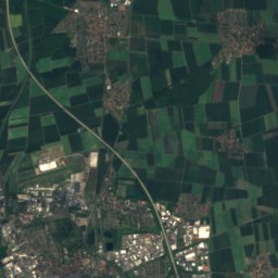
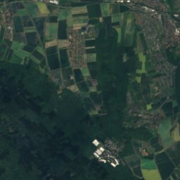
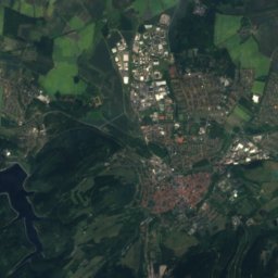
Satellite: Sentinel-2 cloudless 2016 by EOX IT Services GmbH · CC BY 4.0 · Contains modified Copernicus Sentinel data 2016
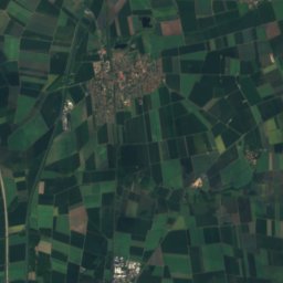
37 km SE

Kahleberg, Lower Saxony

730 m · Harz
Kahleberg, Lower Saxony
Bocksberg (Harz)
Photo: Kassandro · CC BY-SA 3.0 · Wikimedia CommonsReport this photo · linked, not stored
35 km SE

Bocksberg (Harz)

726 m · Harz
Bocksberg (Harz)

Heritage

St. Nikolaus, Groß Düngen
Photo: Kirchenfan · CC0 · Wikimedia CommonsReport this photo · linked, not stored
2.0 km W

St. Nikolaus, Groß Düngen

architectural heritage monument in Lower Saxony
St. Nikolaus, Groß Düngen
St. Antonius, Groß Düngen
Photo: Kirchenfan · CC0 · Wikimedia CommonsReport this photo · linked, not stored
2.9 km W

St. Antonius, Groß Düngen

architectural heritage monument in Lower Saxony
St. Antonius, Groß Düngen
St. Michael's Church, Giesen
Photo: Heinz-Josef Lücking · CC BY-SA 3.0 de · Wikimedia CommonsReport this photo · linked, not stored
8.3 km NW

St. Michael's Church, Giesen

part of UNESCO World Heritage Site · 1010
St. Michael's Church, Giesen

Museums

Bergbau- und Salzmuseum Bad Salzdetfurth
Photo: Gerd Fahrenhorst · CC BY 4.0 · Wikimedia CommonsReport this photo · linked, not stored
3.1 km S

Bergbau- und Salzmuseum Bad Salzdetfurth

Bergbau- und Salzmuseum Bad Salzdetfurth
Hildesheim Cathedral Museum
Photo: GodeNehler · CC BY-SA 4.0 · Wikimedia CommonsReport this photo · linked, not stored
7.9 km NW

Hildesheim Cathedral Museum

Diocesan museum
Hildesheim Cathedral Museum
Roemer- und Pelizaeus-Museum
Photo: Longbow4u · Public domain · Wikimedia CommonsReport this photo · linked, not stored
8.0 km NW

Roemer- und Pelizaeus-Museum

1844
Roemer- und Pelizaeus-Museum