Skip to content
Destinations
Weather & climate
Nature
Outdoors
Culture
Events
Sky & live
Beffer
Photo: Gerhard Lobes · CC BY-SA 4.0 · Wikimedia Commons
BefferReport this photo · linked, not stored
Neile
Photo: C. Löser · CC BY 3.0 de · Wikimedia Commons
NeileReport this photo · linked, not stored
Neile
Schildau
Photo: Thomas Binder · CC BY-SA 4.0 · Wikimedia Commons
SchildauReport this photo · linked, not stored
Schildau
Beuster
Photo: Ragnar1904 · CC BY-SA 4.0 · Wikimedia Commons
BeusterReport this photo · linked, not stored
Beuster
Reihersee, Elbe
Photo: Johamar · CC BY 3.0 · Wikimedia Commons
Reihersee, ElbeReport this photo · linked, not stored
Reihersee, Elbe
RiverBockenem, Lower Saxony

Beffer

River105 m elevationBest May–Jun · Sep
Elevation105 mabove sea level
Length8.0 kmsource to mouth
Nearest townBockenem2.5 km
52.03° N, 10.12° EElevation 105 mUTC+1 · Central European Standard Time
When to goBockenem · weather score
JanFebMarAprMayJunJulAugSepOctNovDec44October
Best timeMay–Jun · Sep
October: high / low14° / 7°
River

Beffer in brief

Beffer is a river in Bockenem, Lower Saxony, Germany.

It lies at 105 m above sea level.

The nearest town is Bockenem, 2.5 km to the S, where the weather is best in May, June and September.

Beffer is 8.0 km long.

Bockenem: weather and travel guide

Weather nearby now

Forecast for Bockenem
9°
Rain now
Wind33 km/h
Humidity95%
Cloud cover100%
Today
25 Oct
15°
7°
16 mm
Mon
26 Oct
13°
7°
Tue
27 Oct
17°
10°
Wed
28 Oct
14°
7°
2 mm
Thu
29 Oct
13°
7°

Model run 12:00 UTCRefreshed several times a day

When to go

The best months around Beffer

Climate of Bockenem

Month score in Bockenem

Comfort, dry days and sunshine · out of 100
15
Jan
22
Feb
23
Mar
56
Apr
68
May
65
Jun
64
Jul
65
Aug
71
Sep
44
Oct
17
Nov
14
Dec
Map

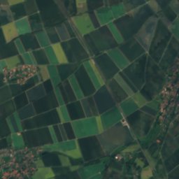
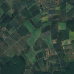
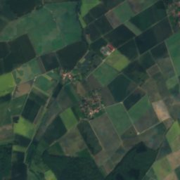
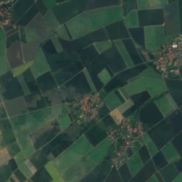
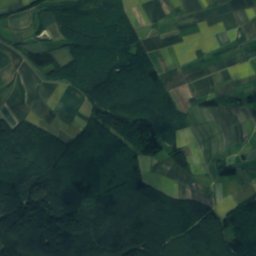
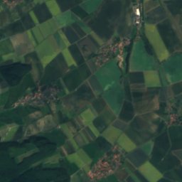
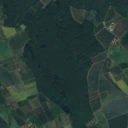
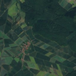
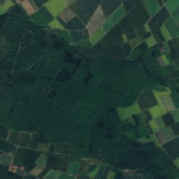
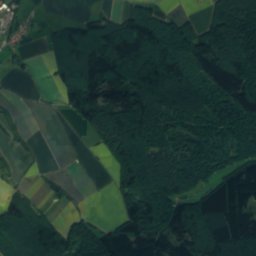
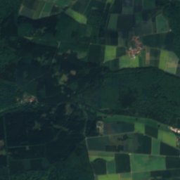
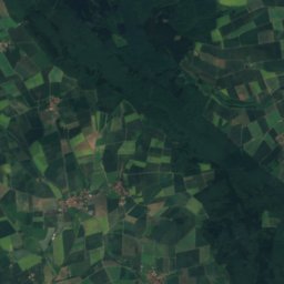
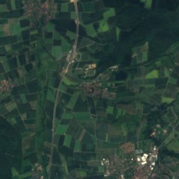
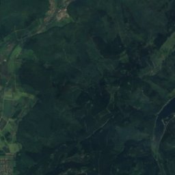
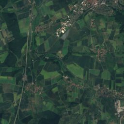
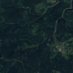
Beffer from above

Nature nearbyAll of Germany
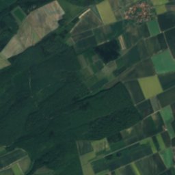
Satellite: Sentinel-2 cloudless 2016 by EOX IT Services GmbH · CC BY 4.0 · Contains modified Copernicus Sentinel data 2016
LammeRiver11 kmSWLamme
Photo: C. Löser · CC BY 3.0 de · Wikimedia CommonsReport this photo · linked, not stored
NeileRiver11 kmENeile
Photo: Thomas Binder · CC BY-SA 4.0 · Wikimedia CommonsReport this photo · linked, not stored
SchildauRiver11 kmSSchildau
Photo: Ragnar1904 · CC BY-SA 4.0 · Wikimedia CommonsReport this photo · linked, not stored
BeusterRiver14 kmNWBeuster
Photo: Johamar · CC BY 3.0 · Wikimedia CommonsReport this photo · linked, not stored
Reihersee, ElbeLake17 kmNEReihersee, Elbe
Photo: Ralf Claus · Public domain · Wikimedia CommonsReport this photo · linked, not stored
HohnsenseeLake17 kmNWHohnsensee
Summits nearbyMountains of Germany
Satellite: Sentinel-2 cloudless 2016 by EOX IT Services GmbH · CC BY 4.0 · Contains modified Copernicus Sentinel data 2016
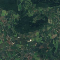
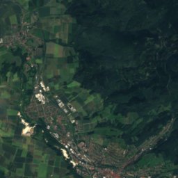
Große Wulpke22 km SE622 mJuly 21°Große Wulpke
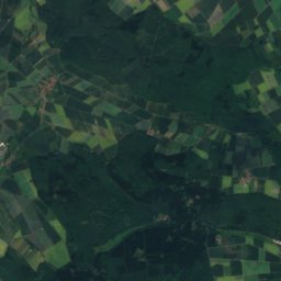
Satellite: Sentinel-2 cloudless 2016 by EOX IT Services GmbH · CC BY 4.0 · Contains modified Copernicus Sentinel data 2016
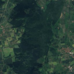
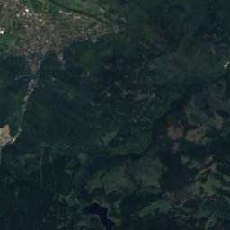
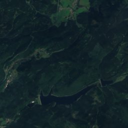
Adlersberg, Wildemann24 km SE615 mJuly 21°Adlersberg, Wildemann
Satellite: Sentinel-2 cloudless 2016 by EOX IT Services GmbH · CC BY 4.0 · Contains modified Copernicus Sentinel data 2016
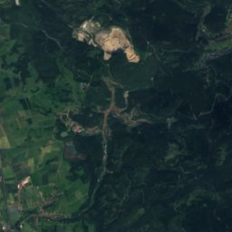
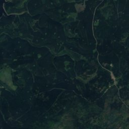
Langentalskopf25 km SE606 mJuly 21°Langentalskopf
Satellite: Sentinel-2 cloudless 2016 by EOX IT Services GmbH · CC BY 4.0 · Contains modified Copernicus Sentinel data 2016
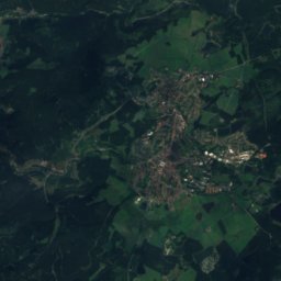
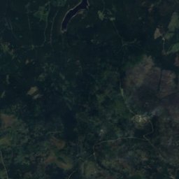
Ober-Sommerberg21 km SE605 mJuly 21°Ober-Sommerberg
Satellite: Sentinel-2 cloudless 2016 by EOX IT Services GmbH · CC BY 4.0 · Contains modified Copernicus Sentinel data 2016
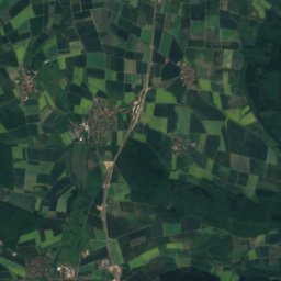
Borberg, Lower Saxony21 km SE600 mJuly 22°Borberg, Lower Saxony
Satellite: Sentinel-2 cloudless 2016 by EOX IT Services GmbH · CC BY 4.0 · Contains modified Copernicus Sentinel data 2016
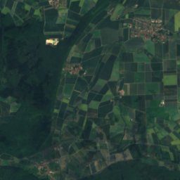
Heimbergskopf21 km SE595 mJuly 21°Heimbergskopf
Stay nearby

Towns close by

Bockenem
Photo: Nobelium · CC BY 3.0 · Wikimedia CommonsReport this photo · linked, not stored

Bockenem

Lower Saxony · 2.5 km S
14°Oct high
12wet days
44score
Bockenem
Haverlah
Photo: Johamar · CC BY 3.0 · Wikimedia CommonsReport this photo · linked, not stored

Haverlah

Lower Saxony · 4.9 km NE
14°Oct high
12wet days
44score
Haverlah
Holle
Photo: AndreasFranz · CC0 · Wikimedia CommonsReport this photo · linked, not stored

Holle

Lower Saxony · 6.7 km N
14°Oct high
12wet days
45score
Holle
Bodenburg
Photo: losch · Attribution · Wikimedia CommonsReport this photo · linked, not stored

Bodenburg

Lower Saxony · 7.8 km W
14°Oct high
12wet days
43score
Bodenburg
Around here

Bockenem and around

Bockenem
Photo: Nobelium · CC BY 3.0 · Wikimedia CommonsReport this photo · linked, not stored

Bockenem

Lower Saxony · Germany
May–Jun · Sepbest months
24°July high
122 maltitude
Bockenem

Nature

Neile
Photo: C. Löser · CC BY 3.0 de · Wikimedia CommonsReport this photo · linked, not stored
11 km E

Neile

River · 123 m
Neile
Satellite: Sentinel-2 cloudless 2016 by EOX IT Services GmbH · CC BY 4.0 · Contains modified Copernicus Sentinel data 2016
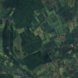
9.8 km SW

Lamme

River · 83 m
Lamme
Schildau
Photo: Thomas Binder · CC BY-SA 4.0 · Wikimedia CommonsReport this photo · linked, not stored
8.9 km S

Schildau

River
Schildau

Mountains

Kleiner Brocken, Lower Saxony
Photo: Sipalius · CC BY-SA 3.0 · Wikimedia CommonsReport this photo · linked, not stored
39 km SE

Kleiner Brocken, Lower Saxony

1,018 m · Harz
Kleiner Brocken, Lower Saxony
Bruchberg
Photo: Unknown author · CC BY-SA 3.0 · Wikimedia CommonsReport this photo · linked, not stored
36 km SE

Bruchberg

928 m · Harz
Bruchberg
Satellite: Sentinel-2 cloudless 2016 by EOX IT Services GmbH · CC BY 4.0 · Contains modified Copernicus Sentinel data 2016
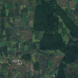
35 km SE

Wolfswarte

920 m · Harz
Wolfswarte

Heritage

St. Pankratius, Bockenem
Photo: Ambergau · CC BY-SA 4.0 · Wikimedia CommonsReport this photo · linked, not stored
0.3 km SW

St. Pankratius, Bockenem

cultural heritage monument in Lower Saxony
St. Pankratius, Bockenem
An der Kaiserpfalz 15
Photo: AxelHH · CC BY-SA 4.0 · Wikimedia CommonsReport this photo · linked, not stored
3.0 km S

An der Kaiserpfalz 15

cultural heritage monument in Lower Saxony
An der Kaiserpfalz 15
St. Abdon und Sennen
Photo: Johamar · CC BY 3.0 · Wikimedia CommonsReport this photo · linked, not stored
13 km E

St. Abdon und Sennen

cultural heritage monument in Lower Saxony · 1794
St. Abdon und Sennen

Museums

Turmuhrenmuseum Bockenem
Photo: Gerd Fahrenhorst · CC BY 3.0 · Wikimedia CommonsReport this photo · linked, not stored
0.2 km SW

Turmuhrenmuseum Bockenem

Turmuhrenmuseum Bockenem
Kunstverein Bad Salzdetfurth
Photo: Rendor Thuces Al'Nachkar · CC BY-SA 4.0 · Wikimedia CommonsReport this photo · linked, not stored
8.7 km W

Kunstverein Bad Salzdetfurth

Kunsthalle · 1991
Kunstverein Bad Salzdetfurth
Städtisches Museum Seesen
Photo: Achim Bodewig · CC BY-SA 3.0 · Wikimedia CommonsReport this photo · linked, not stored
13 km S

Städtisches Museum Seesen

Städtisches Museum Seesen