Skip to content
Destinations
Weather & climate
Nature
Outdoors
Culture
Events
Sky & live
Barnitz
Photo: Bahnmoeller · CC BY-SA 3.0 · Wikimedia Commons
BarnitzReport this photo · linked, not stored
Norderbeste, Bad Oldesloe
Photo: IngmarHL · CC BY-SA 4.0 · Wikimedia Commons
Norderbeste, Bad OldesloeReport this photo · linked, not stored
Norderbeste, Bad Oldesloe
Poggensee
Photo: Chenalb · CC BY 3.0 · Wikimedia Commons
PoggenseeReport this photo · linked, not stored
Poggensee
Norderbeste, Rümpel
Photo: flamenc · CC BY-SA 3.0 · Wikimedia Commons
Norderbeste, RümpelReport this photo · linked, not stored
Norderbeste, Rümpel
Grabauer See
Photo: Tmhpr · CC BY-SA 3.0 · Wikimedia Commons
Grabauer SeeReport this photo · linked, not stored
Grabauer See
RiverBad Oldesloe, Schleswig-Holstein

Barnitz

River22 m elevationBest May–Jun · Sep
Elevation22 mabove sea level
Length20 kmsource to mouth
Nearest townBad Oldesloe1.4 km
53.80° N, 10.37° EElevation 22 mUTC+1 · Central European Standard Time
When to goBad Oldesloe · weather score
JanFebMarAprMayJunJulAugSepOctNovDec39October
Best timeMay–Jun · Sep
October: high / low13° / 6°
River

Barnitz in brief

Barnitz is a river in Bad Oldesloe, Schleswig-Holstein, Germany.

It lies at 22 m above sea level.

The nearest town is Bad Oldesloe, 1.4 km to the N, where the weather is best in May, June and September.

Barnitz is 20 km long.

Bad Oldesloe: weather and travel guide

Weather nearby now

Forecast for Bad Oldesloe
7°
Partly cloudy now
Wind24 km/h
Humidity82%
Cloud cover50%
Today
26 Oct
12°
6°
1 mm
Tue
27 Oct
15°
9°
1 mm
Wed
28 Oct
14°
8°
Thu
29 Oct
15°
7°
1 mm
Fri
30 Oct
12°
4°

Model run 12:00 UTCRefreshed several times a day

When to go

The best months around Barnitz

Climate of Bad Oldesloe

Month score in Bad Oldesloe

Comfort, dry days and sunshine · out of 100
Map

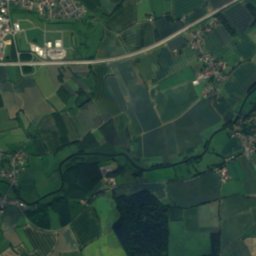
Barnitz from above

Nature nearbyAll of Germany
Photo: IngmarHL · CC BY-SA 4.0 · Wikimedia CommonsReport this photo · linked, not stored
Norderbeste, Bad OldesloeRiver1.3 kmNENorderbeste, Bad Oldesloe
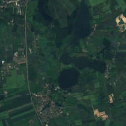
Photo: Chenalb · CC BY 3.0 · Wikimedia CommonsReport this photo · linked, not stored
PoggenseeLake3.2 kmNEPoggensee
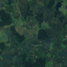
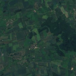
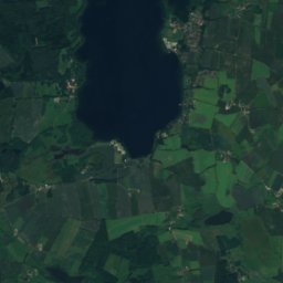
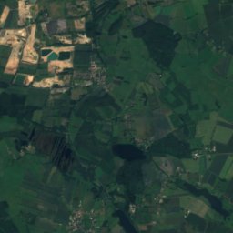
Photo: flamenc · CC BY-SA 3.0 · Wikimedia CommonsReport this photo · linked, not stored
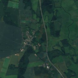
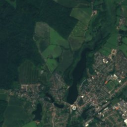
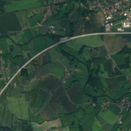
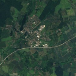
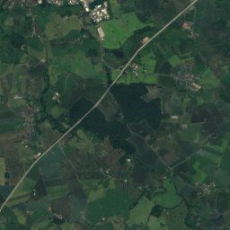
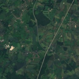
Norderbeste, RümpelRiver3.3 kmSWNorderbeste, Rümpel
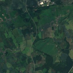
Satellite: Sentinel-2 cloudless 2016 by EOX IT Services GmbH · CC BY 4.0 · Contains modified Copernicus Sentinel data 2016
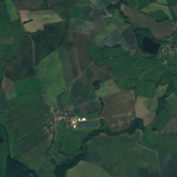
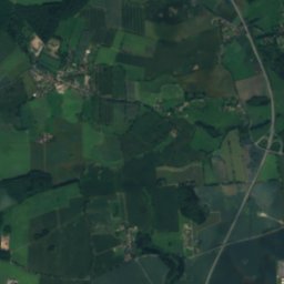
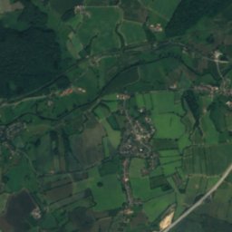
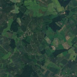
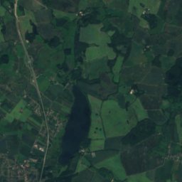
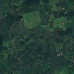
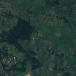
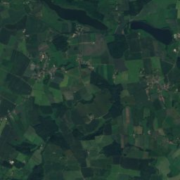
Großer Teich, Schleswig-HolsteinLake3.5 kmEGroßer Teich, Schleswig-Holstein
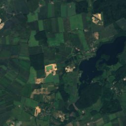
Photo: Tmhpr · CC BY-SA 3.0 · Wikimedia CommonsReport this photo · linked, not stored
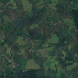
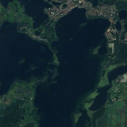
Grabauer SeeLake6.7 kmWGrabauer See
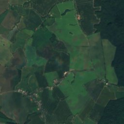
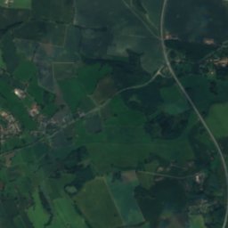
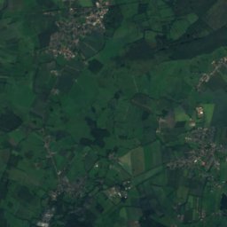
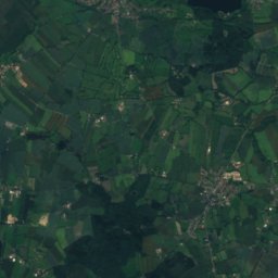
Satellite: Sentinel-2 cloudless 2016 by EOX IT Services GmbH · CC BY 4.0 · Contains modified Copernicus Sentinel data 2016
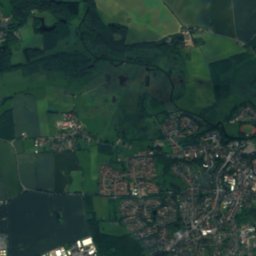
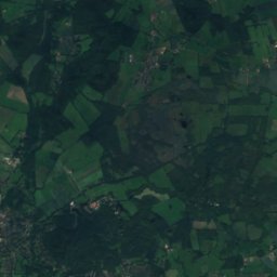
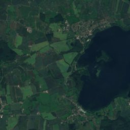
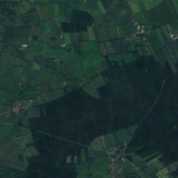
HeilsauRiver7.3 kmEHeilsau
Summits nearbyMountains of Germany
Photo: Ajepbah · CC BY-SA 3.0 · Wikimedia CommonsReport this photo · linked, not stored
Mellen-Berg22 km SW63 mJuly 23°Mellen-Berg
Photo: Ajepbah · CC BY-SA 3.0 · Wikimedia CommonsReport this photo · linked, not stored
Schüberg18 km SW63 mJuly 23°Schüberg
Stay nearby

Towns close by

Bad Oldesloe
Photo: Unknown author · CC BY-SA 3.0 · Wikimedia CommonsReport this photo · linked, not stored

Bad Oldesloe

Schleswig-Holstein · 1.4 km N
13°Oct high
13wet days
39score
Bad Oldesloe
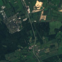
Rümpel
Photo: Johannes von Schröder (1793-1862) · Public domain · Wikimedia CommonsReport this photo · linked, not stored

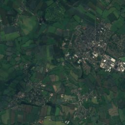
Rümpel

Schleswig-Holstein · 2.0 km SW
13°Oct high
13wet days
39score
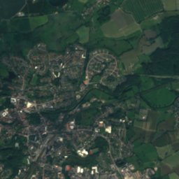
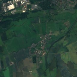
Rümpel
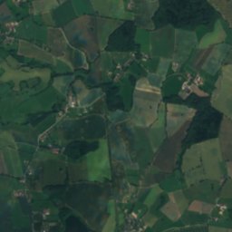
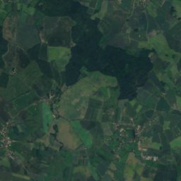
Satellite: Sentinel-2 cloudless 2016 by EOX IT Services GmbH · CC BY 4.0 · Contains modified Copernicus Sentinel data 2016

Pölitz

Schleswig-Holstein · 3.2 km S
13°Oct high
13wet days
38score
Pölitz
Meddewade
Photo: viciarg ᚨ · CC BY-SA 3.0 · Wikimedia CommonsReport this photo · linked, not stored

Meddewade

Schleswig-Holstein · 4.9 km E
13°Oct high
13wet days
39score
Meddewade
Around here

Bad Oldesloe and around

Bad Oldesloe
Photo: Unknown author · CC BY-SA 3.0 · Wikimedia CommonsReport this photo · linked, not stored

Bad Oldesloe

Schleswig-Holstein · Germany
May–Jun · Sepbest months
23°July high
10 maltitude
Bad Oldesloe

Nature

Norderbeste, Bad Oldesloe
Photo: IngmarHL · CC BY-SA 4.0 · Wikimedia CommonsReport this photo · linked, not stored
0.3 km SE

Norderbeste, Bad Oldesloe

River
Norderbeste, Bad Oldesloe
Norderbeste, Rümpel
Photo: flamenc · CC BY-SA 3.0 · Wikimedia CommonsReport this photo · linked, not stored
4.4 km SW

Norderbeste, Rümpel

River
Norderbeste, Rümpel
Grabauer See
Photo: Tmhpr · CC BY-SA 3.0 · Wikimedia CommonsReport this photo · linked, not stored
7.3 km W

Grabauer See

Lake · 18 m
Grabauer See

Mountains

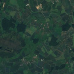
Satellite: Sentinel-2 cloudless 2016 by EOX IT Services GmbH · CC BY 4.0 · Contains modified Copernicus Sentinel data 2016
28 km N

Grimmelsberg

83 m
Grimmelsberg
Müllberg Hummelsbüttel
Photo: Vitavia · CC BY-SA 4.0 · Wikimedia CommonsReport this photo · linked, not stored
26 km SW

Müllberg Hummelsbüttel

79 m
Müllberg Hummelsbüttel
Mellen-Berg
Photo: Ajepbah · CC BY-SA 3.0 · Wikimedia CommonsReport this photo · linked, not stored
23 km SW

Mellen-Berg

63 m
Mellen-Berg

Heritage

St. Peter and St. Paul's Church Bad Oldesloe
Photo: Klawikowski · CC BY 3.0 · Wikimedia CommonsReport this photo · linked, not stored
0.4 km S

St. Peter and St. Paul's Church Bad Oldesloe

Kulturdenkmal
St. Peter and St. Paul's Church Bad Oldesloe
Satellite: Sentinel-2 cloudless 2016 by EOX IT Services GmbH · CC BY 4.0 · Contains modified Copernicus Sentinel data 2016
1.1 km N

Mennokate

Kulturdenkmal
Mennokate
Gut Altfresenburg: Herrenhaus
Photo: Mischa.Gö · CC BY-SA 4.0 · Wikimedia CommonsReport this photo · linked, not stored
1.6 km NW

Gut Altfresenburg: Herrenhaus

Heritage monument in Schleswig-Holstein
Gut Altfresenburg: Herrenhaus

Museums

Satellite: Sentinel-2 cloudless 2016 by EOX IT Services GmbH · CC BY 4.0 · Contains modified Copernicus Sentinel data 2016
0.4 km S

Heimatmuseum Bad Oldesloe

Local museum
Heimatmuseum Bad Oldesloe
Satellite: Sentinel-2 cloudless 2016 by EOX IT Services GmbH · CC BY 4.0 · Contains modified Copernicus Sentinel data 2016
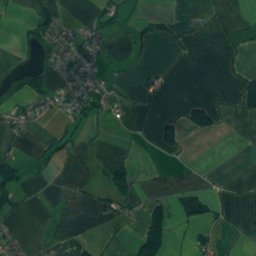
12 km SE

Museum „Vergessene Arbeit“

Museum „Vergessene Arbeit“
Satellite: Sentinel-2 cloudless 2016 by EOX IT Services GmbH · CC BY 4.0 · Contains modified Copernicus Sentinel data 2016
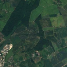
7.2 km E

Local history museum of the city of Reinfeld

Local museum
Local history museum of the city of Reinfeld