
 Norderbeste, Bad Oldesloe
 Poggensee
 Norderbeste, Rümpel
 Grabauer See
강Bad Oldesloe, 슐레스비히홀슈타인주
Barnitz
강해발 22 m최적 5월–6월 · 9월
고도22 m해발
길이20 km발원지에서 하구까지
가장 가까운 지점Bad Oldesloe1.4 km
북위 53.80°, 동경 10.37°고도 22 mUTC+2 · 중부유럽 하계 표준시
여행 시기Bad Oldesloe · 날씨 점수
최적 시기5월–6월 · 9월
10월: 최고 / 최저13° / 6°
강
Barnitz 개요
Barnitz는 독일(슐레스비히홀슈타인주)에 있는 강입니다.
해발 22 m입니다.
가장 가까운 지점은 북쪽으로 1.4 km 떨어진 Bad Oldesloe입니다. 그곳의 날씨가 가장 쾌적한 달은 5월, 6월, 9월입니다.
Barnitz의 길이는 20 km입니다.
주변의 현재 날씨
Bad Oldesloe의 일기 예보12°
현재 날씨: 비
오늘
10월 23일
12°
5°
2 mm
토
10월 24일
12°
7°
4 mm
일
10월 25일
12°
7°
14 mm
월
10월 26일
12°
6°
1 mm
화
10월 27일
16°
7°
2 mm
모델 계산 시각 12:00 UTC하루 여러 번 갱신
지도
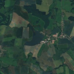
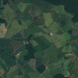
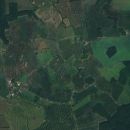
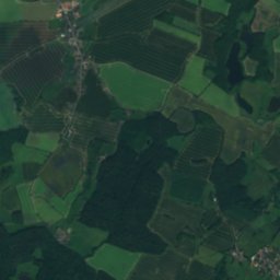
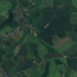
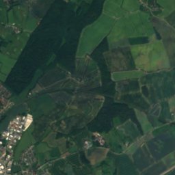
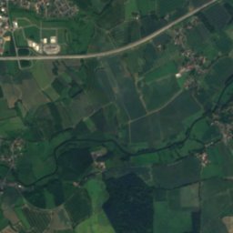
Barnitz 하늘에서
주변 자연전국


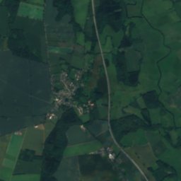
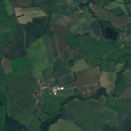
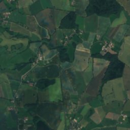
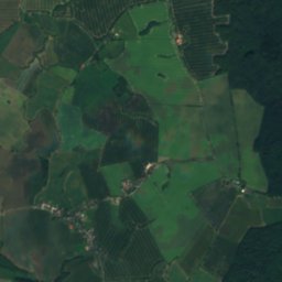
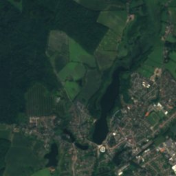
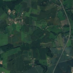
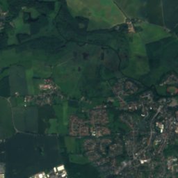
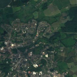
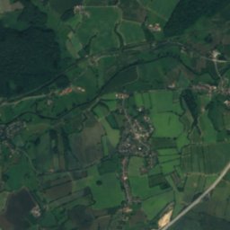
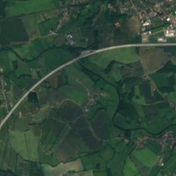
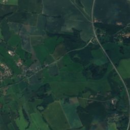
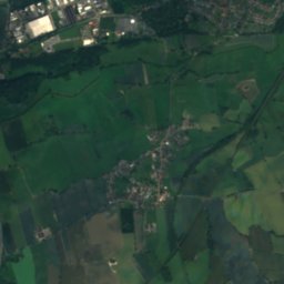
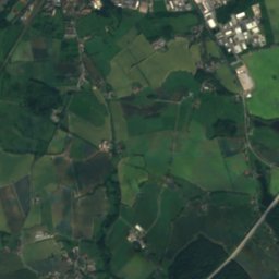
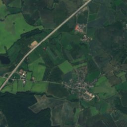
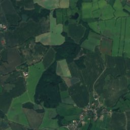
위성: Sentinel-2 cloudless 2016(EOX IT Services GmbH) · CC BY 4.0 · 수정된 Copernicus Sentinel 데이터(2016) 포함



근처 숙소
바로 근처의 지점


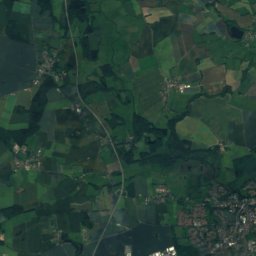
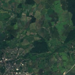
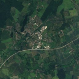
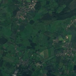
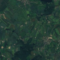
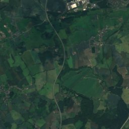
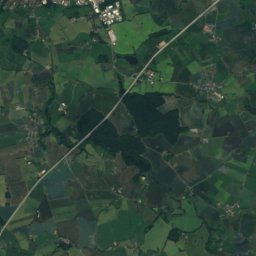
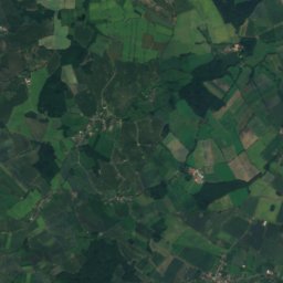
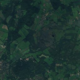
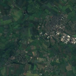
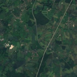
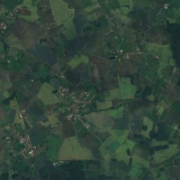
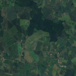
위성: Sentinel-2 cloudless 2016(EOX IT Services GmbH) · CC BY 4.0 · 수정된 Copernicus Sentinel 데이터(2016) 포함
Pölitz
슐레스비히홀슈타인주 · 3.2 km 남
13°10월 최고
13비 오는 날
38점수

주변
Bad Oldesloe 일대
자연
산
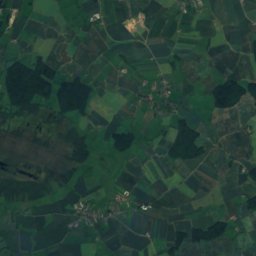
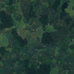
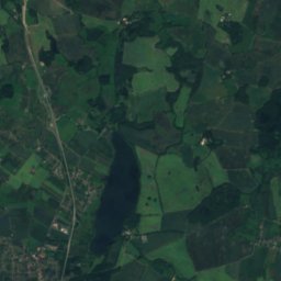
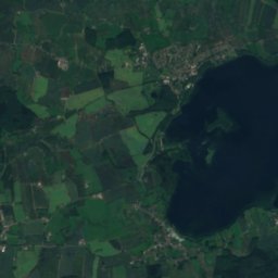
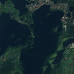
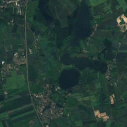
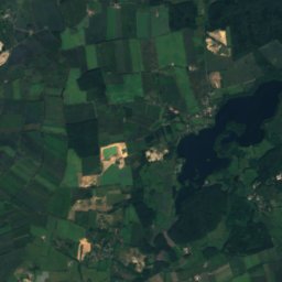
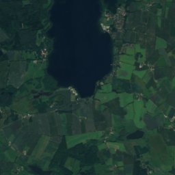
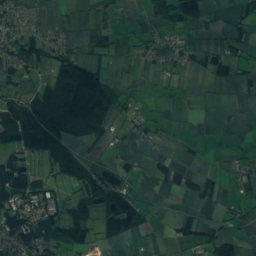
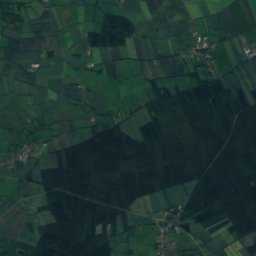
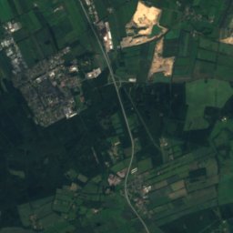
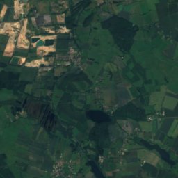
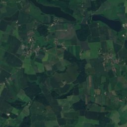
위성: Sentinel-2 cloudless 2016(EOX IT Services GmbH) · CC BY 4.0 · 수정된 Copernicus Sentinel 데이터(2016) 포함
Grimmelsberg
83 m


유산

St. Peter and St. Paul's Church Bad Oldesloe
독일의 문화재
위성: Sentinel-2 cloudless 2016(EOX IT Services GmbH) · CC BY 4.0 · 수정된 Copernicus Sentinel 데이터(2016) 포함
Mennokate
독일의 문화재

박물관·미술관
위성: Sentinel-2 cloudless 2016(EOX IT Services GmbH) · CC BY 4.0 · 수정된 Copernicus Sentinel 데이터(2016) 포함
Heimatmuseum Bad Oldesloe
향토 박물관
위성: Sentinel-2 cloudless 2016(EOX IT Services GmbH) · CC BY 4.0 · 수정된 Copernicus Sentinel 데이터(2016) 포함
Museum „Vergessene Arbeit“


위성: Sentinel-2 cloudless 2016(EOX IT Services GmbH) · CC BY 4.0 · 수정된 Copernicus Sentinel 데이터(2016) 포함
Heimatmuseum der Stadt Reinfeld
향토 박물관