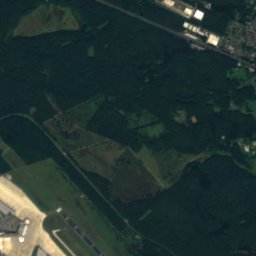
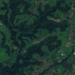
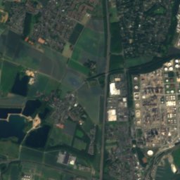
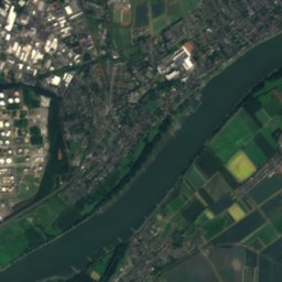
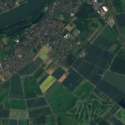
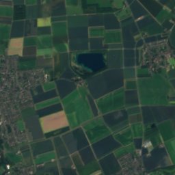
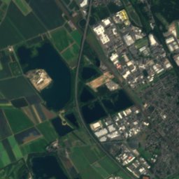
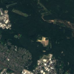
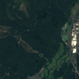
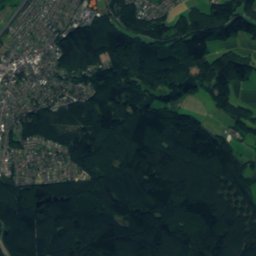
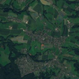
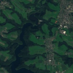
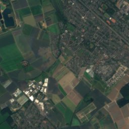
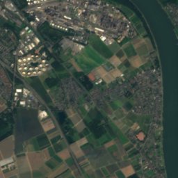
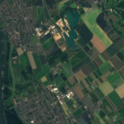
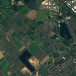
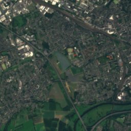
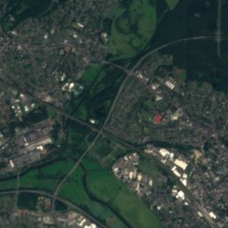
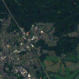
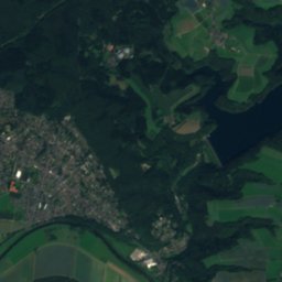
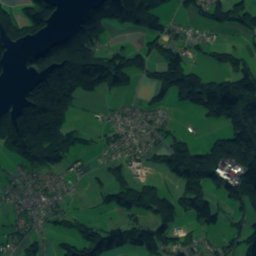
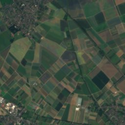
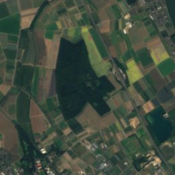
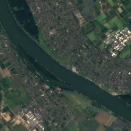
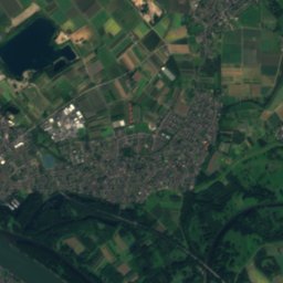
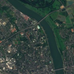
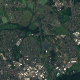
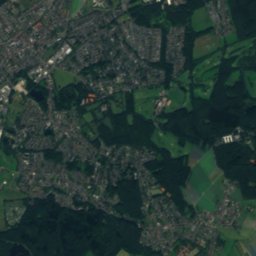
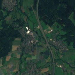
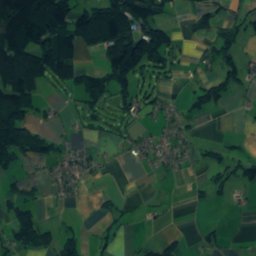
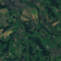
Satellite: Sentinel-2 cloudless 2016 by EOX IT Services GmbH · CC BY 4.0 · Contains modified Copernicus Sentinel data 2016

Photo: Stefan Knauf · Public domain · Wikimedia Commons
PleisbachReport this photo · linked, not stored
PleisbachPleisbachReport this photo · linked, not stored

Photo: Traitor · CC BY-SA 3.0 · Wikimedia Commons
Siegburger MühlengrabenReport this photo · linked, not stored
Siegburger MühlengrabenSiegburger MühlengrabenReport this photo · linked, not stored

Photo: Buchstabenkeks · CC BY-SA 3.0 · Wikimedia Commons
Rotter SeeReport this photo · linked, not stored
Rotter SeeRotter SeeReport this photo · linked, not stored

Photo: Tohma (talk) / Loreley007 · Public domain · Wikimedia Commons
Großer ÖlbergReport this photo · linked, not stored
Großer ÖlbergGroßer ÖlbergReport this photo · linked, not stored
RiverTroisdorf, North Rhine-Westphalia
Agger
River56 m elevationBest Jul–Sep
Elevation56 mabove sea level
Length70 kmsource to mouth
Nearest townTroisdorf2.0 km
50.80° N, 7.17° EElevation 56 mUTC+2 · Central European Summer Time
When to goTroisdorf · weather score
Best timeJul–Sep
October: high / low15° / 8°
River
Agger in brief
Agger is a river in Troisdorf, North Rhine-Westphalia, Germany.
It lies at 56 m above sea level.
The nearest town in the atlas is Troisdorf, 2.0 km to the NW, where the weather is best in July, August and September.
Agger is 70 km long.
Weather nearby now
Forecast for Troisdorf13°
Partly cloudy now
Today
22 Oct
13°
7°
Fri
23 Oct
15°
9°
6 mm
Sat
24 Oct
13°
6°
5 mm
Sun
25 Oct
15°
9°
21 mm
Mon
26 Oct
14°
9°
6 mm
Model run 00:00 UTCRefreshed several times a day
The course of the river
As mapped in OpenStreetMap, with the towns of the atlas along its banks.- 1Bergneustadt248 m
- 2Gummersbach253 m
- 3Engelskirchen144 m
- 4Overath96 m
- 5Lohmar77 m
- 6Siegburg71 m
- 7Troisdorf55 m
sourcemouth (or where the mapped line leaves the country)
Map
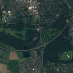
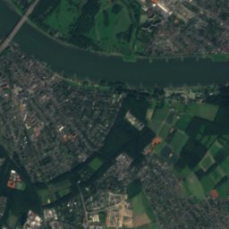
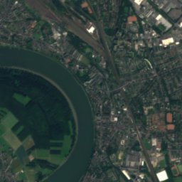
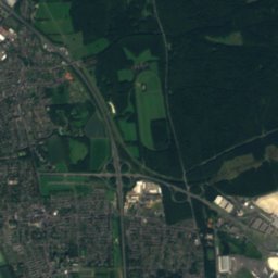
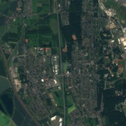
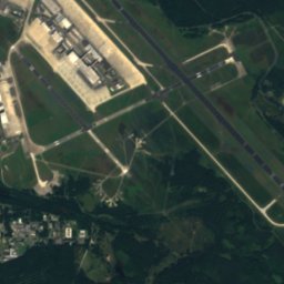
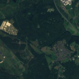
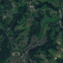
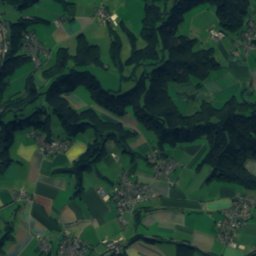
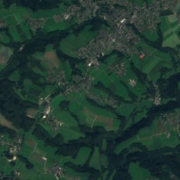
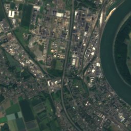
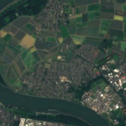
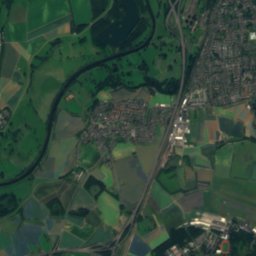
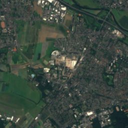
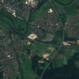
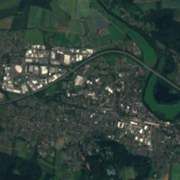
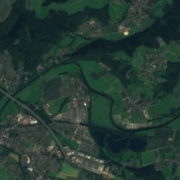
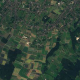
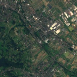
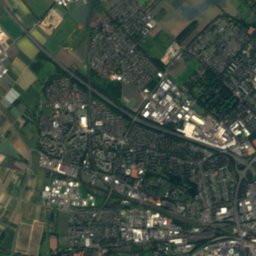
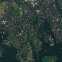
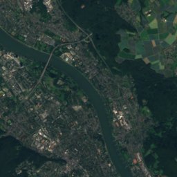
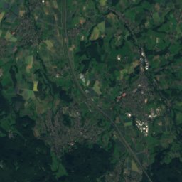
Agger from above
Nature nearbyAll of Germany
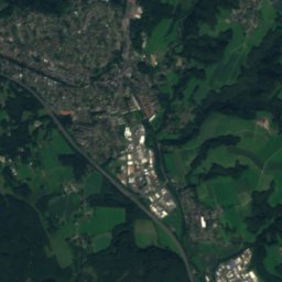
Satellite: Sentinel-2 cloudless 2016 by EOX IT Services GmbH · CC BY 4.0 · Contains modified Copernicus Sentinel data 2016


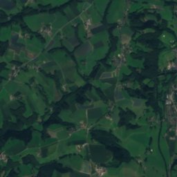
Satellite: Sentinel-2 cloudless 2016 by EOX IT Services GmbH · CC BY 4.0 · Contains modified Copernicus Sentinel data 2016
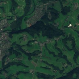
Satellite: Sentinel-2 cloudless 2016 by EOX IT Services GmbH · CC BY 4.0 · Contains modified Copernicus Sentinel data 2016
Summits nearbyMountains of Germany

Photo: Tohma (talk) / Loreley007 · Public domain · Wikimedia CommonsReport this photo · linked, not stored

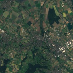
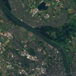
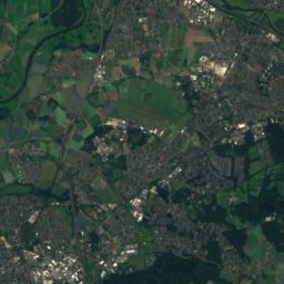
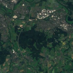
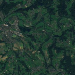
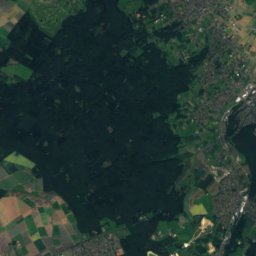
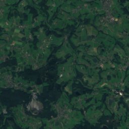
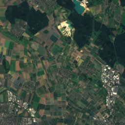
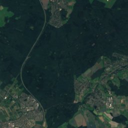
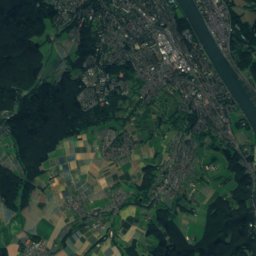
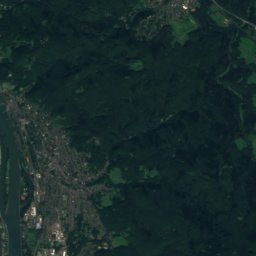
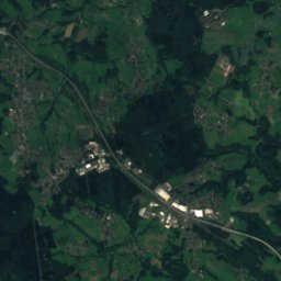
Satellite: Sentinel-2 cloudless 2016 by EOX IT Services GmbH · CC BY 4.0 · Contains modified Copernicus Sentinel data 2016


Stay nearby
Towns close by


Around here
Troisdorf and around
Nature

Photo: The original uploader was Olbertz at German Wikipedia. (Original text: Olbertz) · CC BY-SA 3.0 · Wikimedia CommonsReport this photo · linked, not stored
Sieg
River

Photo: WikiTerra at German Wikipedia · CC BY-SA 3.0 · Wikimedia CommonsReport this photo · linked, not stored
Wahnbach
River
Mountains


Photo: Tohma (talk) / Loreley007 · Public domain · Wikimedia CommonsReport this photo · linked, not stored
Großer Ölberg
461 m · Siebengebirge
Heritage

Photo: Tohma (talk) / Sebastian Mehlmacher · CC BY-SA 4.0 · Wikimedia CommonsReport this photo · linked, not stored
Protestant Church of St John Troisdorf
architectural heritage monument in North Rhine-Westphalia

Photo: Tohma (talk) / Marcus Bentfeld · CC BY-SA 3.0 · Wikimedia CommonsReport this photo · linked, not stored
Wissem Castle
architectural heritage monument in North Rhine-Westphalia

Melanbogenbrücke der L143
architectural heritage monument in North Rhine-Westphalia · 1929
Museums
Satellite: Sentinel-2 cloudless 2016 by EOX IT Services GmbH · CC BY 4.0 · Contains modified Copernicus Sentinel data 2016
Picture Book Museum Wissem Castle in Troisdorf
1982
Satellite: Sentinel-2 cloudless 2016 by EOX IT Services GmbH · CC BY 4.0 · Contains modified Copernicus Sentinel data 2016


