
Photo: The original uploader was Olbertz at German Wikipedia. (Original text: Olbertz) · CC BY-SA 3.0 · Wikimedia Commons
SiegReport this photo · linked, not stored
SiegReport this photo · linked, not stored

Photo: Bungert55 · CC BY-SA 3.0 · Wikimedia Commons
Rheindorfer BachReport this photo · linked, not stored
Rheindorfer BachRheindorfer BachReport this photo · linked, not stored

Photo: Traitor · CC BY-SA 3.0 · Wikimedia Commons
Herseler WerthReport this photo · linked, not stored
Herseler WerthHerseler WerthReport this photo · linked, not stored

Photo: Buchstabenkeks · CC BY-SA 3.0 · Wikimedia Commons
Rotter SeeReport this photo · linked, not stored
Rotter SeeRotter SeeReport this photo · linked, not stored

Photo: Hydro Graf at German Wikipedia · CC BY-SA 3.0 de · Wikimedia Commons
MelbbachReport this photo · linked, not stored
MelbbachMelbbachReport this photo · linked, not stored
RiverBonn, North Rhine-Westphalia
Sieg
RiverBest Jul–Sep
Elevation–above sea level
Length155 kmsource to mouth
Nearest townBonn4.1 km
50.77° N, 7.07° EUTC+1 · Central European Standard Time
When to goBonn · weather score
Best timeJul–Sep
October: high / low16° / 8°
River
Sieg in brief
Sieg is a river in Bonn, North Rhine-Westphalia, Germany.
The nearest town is Bonn, 4.1 km to the S, where the weather is best in July, August and September.
Sieg is 155 km long.
Weather nearby now
Forecast for Bonn6°
Partly cloudy now
Today
29 Oct
15°
5°
Fri
30 Oct
15°
5°
Sat
31 Oct
12°
4°
Sun
1 Nov
12°
7°
Mon
2 Nov
12°
5°
1 mm
Model run 12:00 UTCRefreshed several times a day
The course of the river
As mapped in OpenStreetMap, with the towns along its banks.- 1Netphen300 m
- 2Siegen272 m
- 3Brachbach224 m
- 4Alsdorf196 m
- 5Betzdorf189 m
- 6Scheuerfeld200 m
- 7Katzwinkel281 m
- 8Wissen193 m
- 9Roth267 m
- 10Eitorf102 m
- 11Hennef (Sieg)68 m
- 12Sankt Augustin69 m
- 13Siegburg71 m
- 14Troisdorf55 m
sourcemouth (or where the mapped line leaves the country)
Map
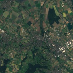
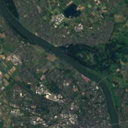
Sieg from above
Nature nearbyAll of Germany


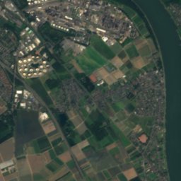
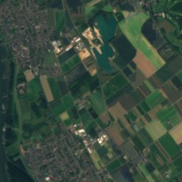
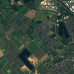
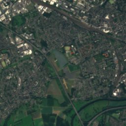
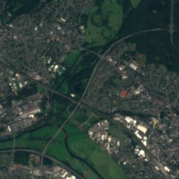
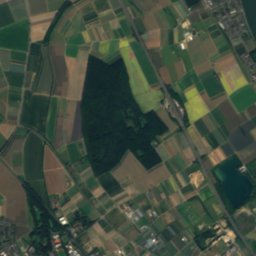
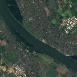
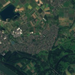
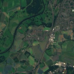
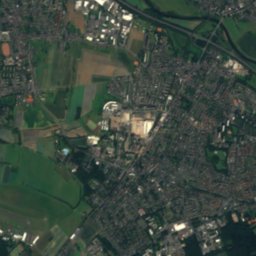
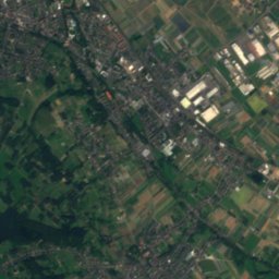
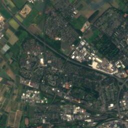
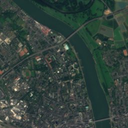
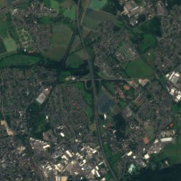
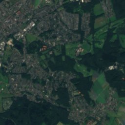
Satellite: Sentinel-2 cloudless 2016 by EOX IT Services GmbH · CC BY 4.0 · Contains modified Copernicus Sentinel data 2016
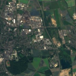
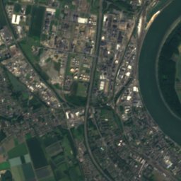
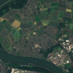
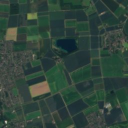
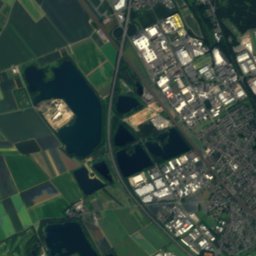
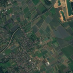
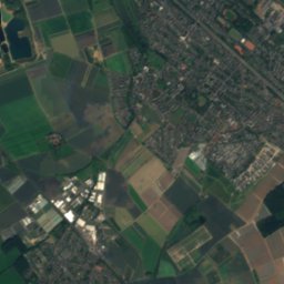
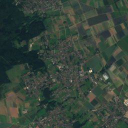
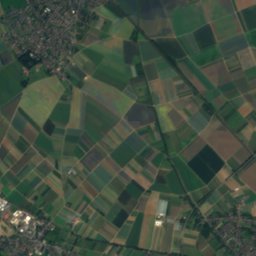
Satellite: Sentinel-2 cloudless 2016 by EOX IT Services GmbH · CC BY 4.0 · Contains modified Copernicus Sentinel data 2016

Photo: Hydro Graf at German Wikipedia · CC BY-SA 3.0 de · Wikimedia CommonsReport this photo · linked, not stored
Summits nearbyMountains of Germany

Photo: Tohma (talk) / Loreley007 · Public domain · Wikimedia CommonsReport this photo · linked, not stored

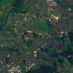
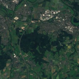
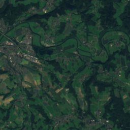
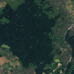
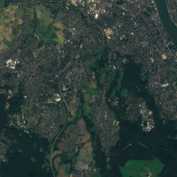
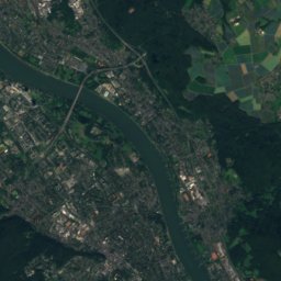
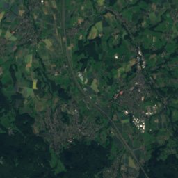
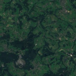
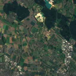
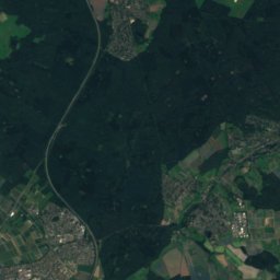
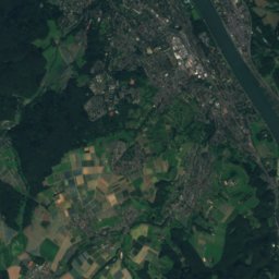
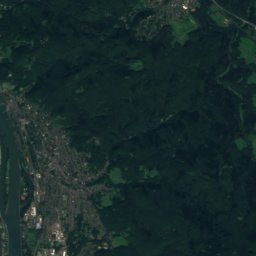
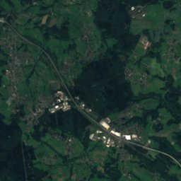
Satellite: Sentinel-2 cloudless 2016 by EOX IT Services GmbH · CC BY 4.0 · Contains modified Copernicus Sentinel data 2016


Stay nearby
Towns close by


Photo: © Ralph Emmerich / CC BY-SA 4.0 (via Wikimedia Commons) · CC BY-SA 4.0 · Wikimedia CommonsReport this photo · linked, not stored
Alfter
North Rhine-Westphalia · 5.7 km SW
16°Oct high
13wet days
50score


Around here
Bonn and around
Nature

Photo: Hydro Graf at German Wikipedia · CC BY-SA 3.0 de · Wikimedia CommonsReport this photo · linked, not stored
Melbbach
River

Mountains


Heritage

Hammerschmidt Villa
architectural heritage monument in North Rhine-Westphalia · 1860

Photo: Thomas Wolf, www.foto-tw.de · CC BY-SA 3.0 de · Wikimedia CommonsReport this photo · linked, not stored
Bonn Minster
architectural heritage monument in North Rhine-Westphalia

St Remigius' Church, Bonn
architectural heritage monument in North Rhine-Westphalia · 1276
Museums


Photo: © Raimond Spekking / CC BY-SA 4.0 (via Wikimedia Commons) · CC BY-SA 4.0 · Wikimedia CommonsReport this photo · linked, not stored

LVR-Landesmuseum Bonn
1820

Photo: © Raimond Spekking / CC BY-SA 4.0 (via Wikimedia Commons) · CC BY-SA 4.0 · Wikimedia CommonsReport this photo · linked, not stored

Kunstmuseum Bonn
Art museum · 1985