Skip to content
Destinations
Weather & climate
Nature
Outdoors
Culture
Events
Sky & live
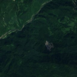
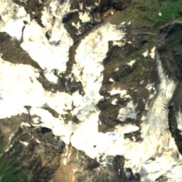
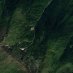
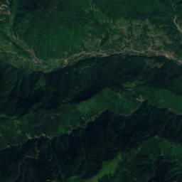
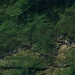
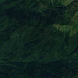
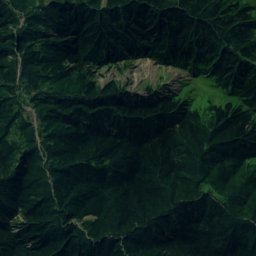
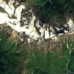
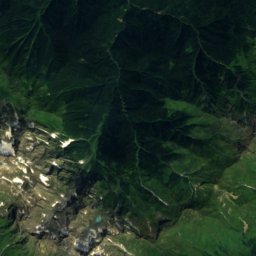
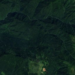
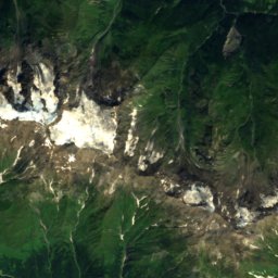
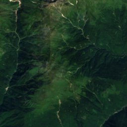
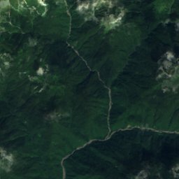
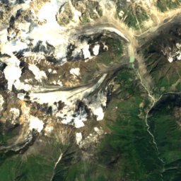
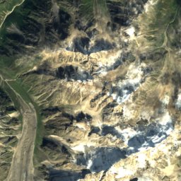
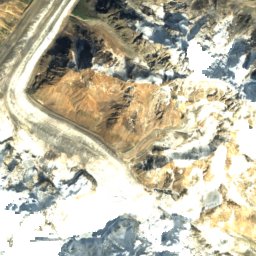
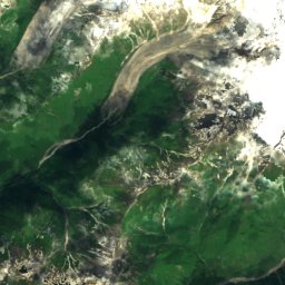
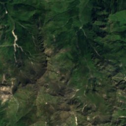
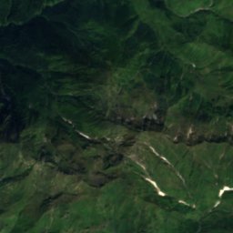
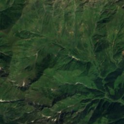
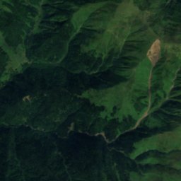
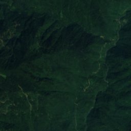
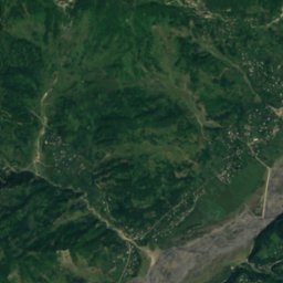
Satellite: Sentinel-2 cloudless 2016 by EOX IT Services GmbH · CC BY 4.0 · Contains modified Copernicus Sentinel data 2016
Jannauli
Photo: Yasuhiro Kojima · CC BY-SA 4.0 · Wikimedia Commons
JannauliReport this photo · linked, not stored
Jannauli
Abasha
Photo: M. · CC BY-SA 3.0 · Wikimedia Commons
AbashaReport this photo · linked, not stored
Abasha
Laila Peak
Photo: Karel61 · CC BY-SA 4.0 · Wikimedia Commons
Laila PeakReport this photo · linked, not stored
Laila Peak
RiverLent'ekhi, Racha-Lechkhumi and Kvemo Svaneti

Devashi

River730 m elevationBest May · Sep–Oct
Elevation730 mabove sea level
Length16 kmsource to mouth
Nearest townLent'ekhi15 km
42.71° N, 42.56° EElevation 730 mUTC+4 · Georgia Standard Time
When to goLent'ekhi · weather score
JanFebMarAprMayJunJulAugSepOctNovDec69October
Best timeMay · Sep–Oct
October: high / low19° / 6°
River

Devashi in brief

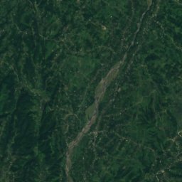
Devashi is a river in Lent'ekhi, Racha-Lechkhumi and Kvemo Svaneti, Georgia.

It lies at 730 m above sea level.

The nearest town is Lent'ekhi, 15 km to the NE, where the weather is best in May, September and October.

Devashi is 16 km long.

Lent'ekhi: weather and travel guide

Weather nearby now

Forecast for Lent'ekhi
7°
Cloudy now
Wind7 km/h
Humidity92%
Cloud cover67%
Today
25 Oct
21°
5°
Mon
26 Oct
22°
4°
Tue
27 Oct
24°
5°
Wed
28 Oct
25°
7°
Thu
29 Oct
22°
10°

Model run 12:00 UTCRefreshed several times a day

When to go

The best months around Devashi

Climate of Lent'ekhi

Month score in Lent'ekhi

Comfort, dry days and sunshine · out of 100
21
Jan
22
Feb
29
Mar
54
Apr
63
May
59
Jun
55
Jul
63
Aug
72
Sep
69
Oct
38
Nov
28
Dec
Map

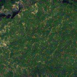
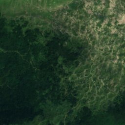
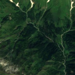
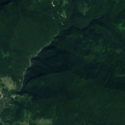
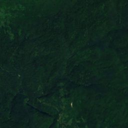
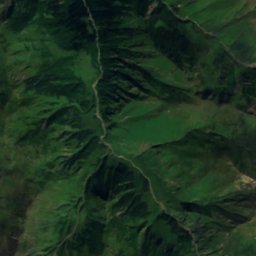
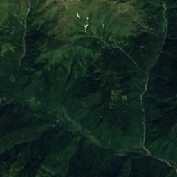
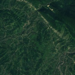
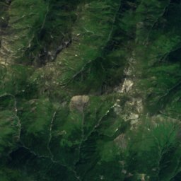
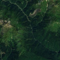
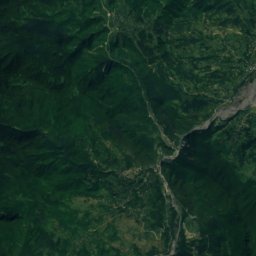
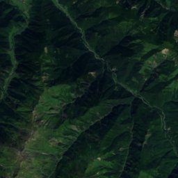
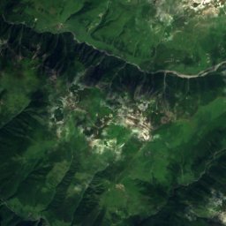
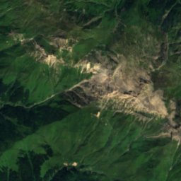
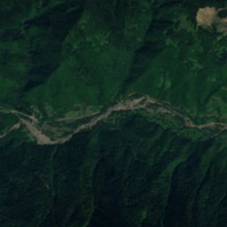
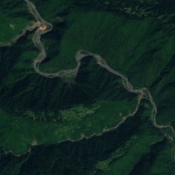
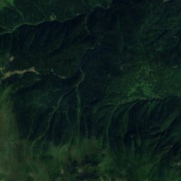
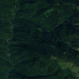
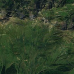
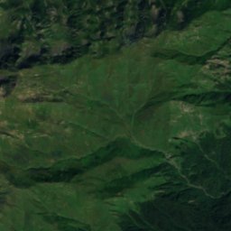
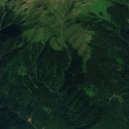
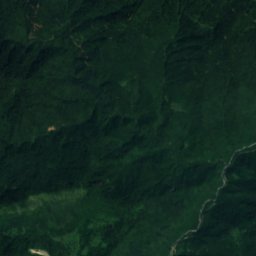
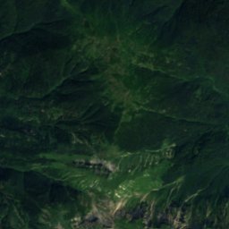
Devashi from above

Nature nearbyAll of Georgia
Photo: Yasuhiro Kojima · CC BY-SA 4.0 · Wikimedia CommonsReport this photo · linked, not stored
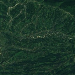
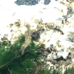
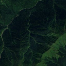
JannauliRiver2.9 kmSJannauli
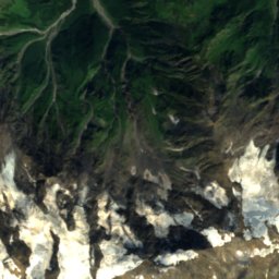
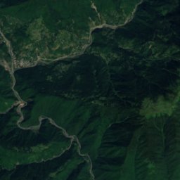
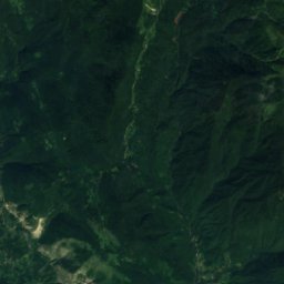
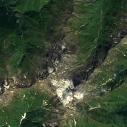
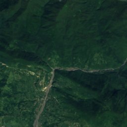
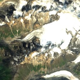
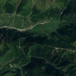
Satellite: Sentinel-2 cloudless 2016 by EOX IT Services GmbH · CC BY 4.0 · Contains modified Copernicus Sentinel data 2016
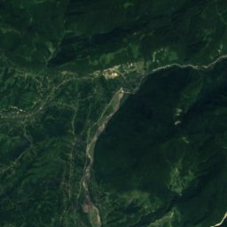
ChachkhuriRiver15 kmSWChachkhuri
Photo: M. · CC BY-SA 3.0 · Wikimedia CommonsReport this photo · linked, not stored
AbashaRiver20 kmSAbasha
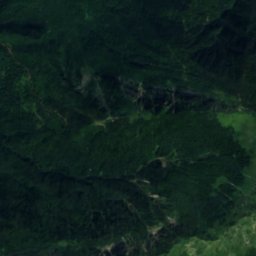
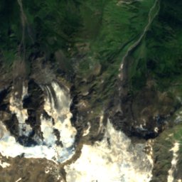
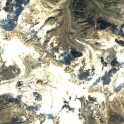
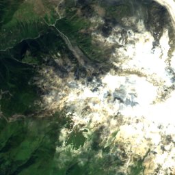
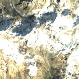
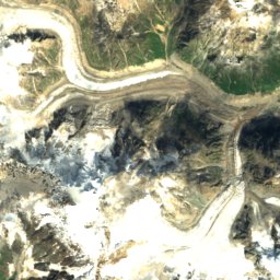
Satellite: Sentinel-2 cloudless 2016 by EOX IT Services GmbH · CC BY 4.0 · Contains modified Copernicus Sentinel data 2016
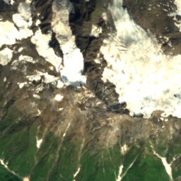
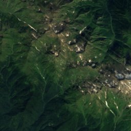
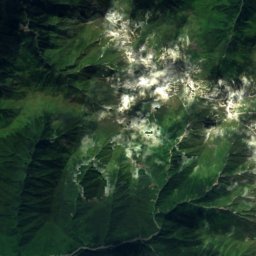
Mq'invari Lailch'alaGlacier23 kmNMq'invari Lailch'ala
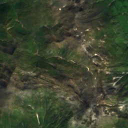
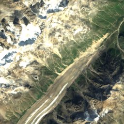
Satellite: Sentinel-2 cloudless 2016 by EOX IT Services GmbH · CC BY 4.0 · Contains modified Copernicus Sentinel data 2016
River Abasha Waterfall Natural MonumentWaterfall23 kmSRiver Abasha Waterfall Natural Monument
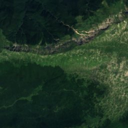
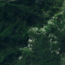
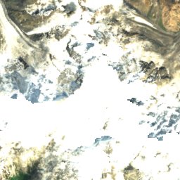
Satellite: Sentinel-2 cloudless 2016 by EOX IT Services GmbH · CC BY 4.0 · Contains modified Copernicus Sentinel data 2016
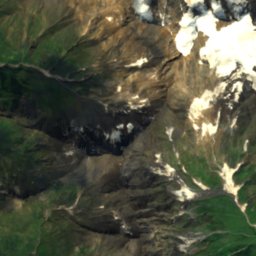
Laila GlacierGlacier24 kmNLaila Glacier
Summits nearbyMountains of Georgia
Photo: Karel61 · CC BY-SA 4.0 · Wikimedia CommonsReport this photo · linked, not stored
Laila Peak23 km N4,008 mJuly 7°Laila Peak
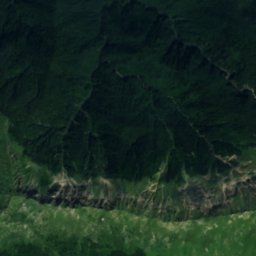
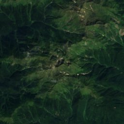
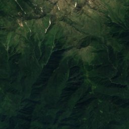
Satellite: Sentinel-2 cloudless 2016 by EOX IT Services GmbH · CC BY 4.0 · Contains modified Copernicus Sentinel data 2016
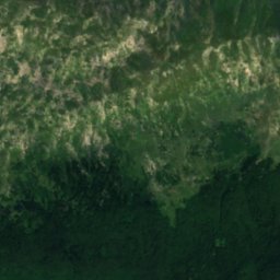
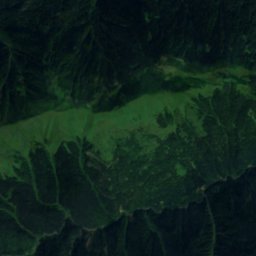
Tsekuri4.0 km E3,170 mJuly 11°Tsekuri
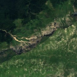
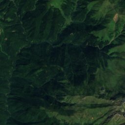
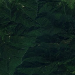
Satellite: Sentinel-2 cloudless 2016 by EOX IT Services GmbH · CC BY 4.0 · Contains modified Copernicus Sentinel data 2016
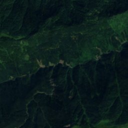
Tekhurish-Dudi15 km NW3,002 mJuly 12°Tekhurish-Dudi
Satellite: Sentinel-2 cloudless 2016 by EOX IT Services GmbH · CC BY 4.0 · Contains modified Copernicus Sentinel data 2016
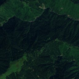
Lekudeli16 km W2,244 mJuly 16°Lekudeli
Satellite: Sentinel-2 cloudless 2016 by EOX IT Services GmbH · CC BY 4.0 · Contains modified Copernicus Sentinel data 2016
Natipuru24 km W2,203 mJuly 16°Natipuru
Satellite: Sentinel-2 cloudless 2016 by EOX IT Services GmbH · CC BY 4.0 · Contains modified Copernicus Sentinel data 2016
Migaria20 km SW2,024 mJuly 18°Migaria
Stay nearby

Towns close by

Satellite: Sentinel-2 cloudless 2016 by EOX IT Services GmbH · CC BY 4.0 · Contains modified Copernicus Sentinel data 2016

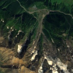
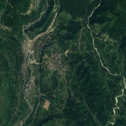
Lent'ekhi

Racha-Lechkhumi and Kvemo Svaneti · 15 km NE
19°Oct high
13wet days
69score
Lent'ekhi
Satellite: Sentinel-2 cloudless 2016 by EOX IT Services GmbH · CC BY 4.0 · Contains modified Copernicus Sentinel data 2016
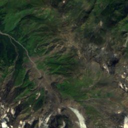
Tsageri

Racha-Lechkhumi and Kvemo Svaneti · 18 km SE
21°Oct high
13wet days
68score
Tsageri
Around here

Lent'ekhi and around

Satellite: Sentinel-2 cloudless 2016 by EOX IT Services GmbH · CC BY 4.0 · Contains modified Copernicus Sentinel data 2016
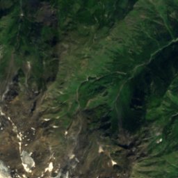
Lent'ekhi

Racha-Lechkhumi and Kvemo Svaneti · Georgia
May · Sep–Octbest months
29°July high
738 maltitude
Lent'ekhi

Nature

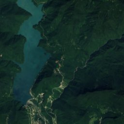
Lajanuri Reservoir
Photo: G.N. · CC BY-SA 3.0 · Wikimedia CommonsReport this photo · linked, not stored
23 km SE

Lajanuri Reservoir

Lake · 494 m
Lajanuri Reservoir
Jannauli
Photo: Yasuhiro Kojima · CC BY-SA 4.0 · Wikimedia CommonsReport this photo · linked, not stored
18 km SW

Jannauli

River · 1,174 m
Jannauli
Satellite: Sentinel-2 cloudless 2016 by EOX IT Services GmbH · CC BY 4.0 · Contains modified Copernicus Sentinel data 2016
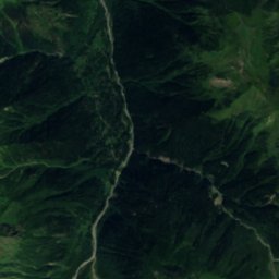
22 km NW

Laila Glacier

Glacier
Laila Glacier

Mountains

Shkhara
Photo: travelgeorgia.ru · CC BY-SA 3.0 · Wikimedia CommonsReport this photo · linked, not stored
39 km NE

Shkhara

5,193 m · Bezengi Wall
Shkhara
Janga
Photo: Masa Sakano · CC BY-SA 2.0 · Wikimedia CommonsReport this photo · linked, not stored
37 km NE

Janga

5,051 m · Main Caucasus Range
Janga
Satellite: Sentinel-2 cloudless 2016 by EOX IT Services GmbH · CC BY 4.0 · Contains modified Copernicus Sentinel data 2016
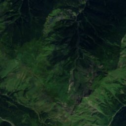
37 km NE

Katyn-Tau

4,979 m · Main Caucasus Range
Katyn-Tau