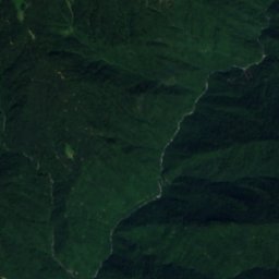
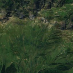
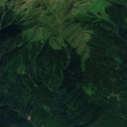
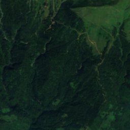
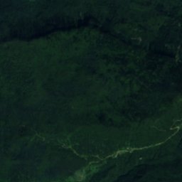
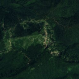
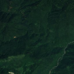
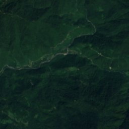
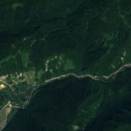
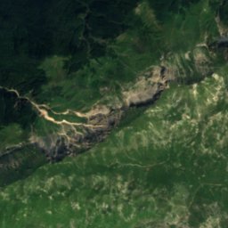
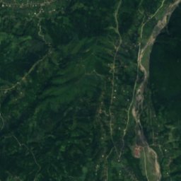
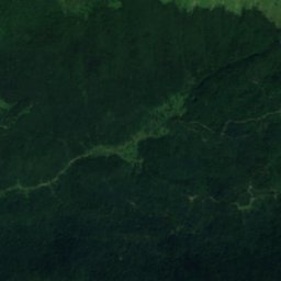
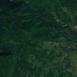
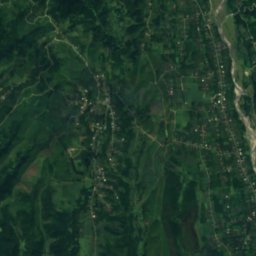
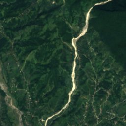
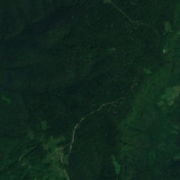
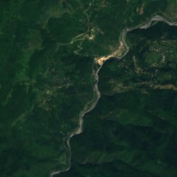
Satellite: Sentinel-2 cloudless 2016 by EOX IT Services GmbH · CC BY 4.0 · Contains modified Copernicus Sentinel data 2016
 Abasha

Photo: Paata vardanashvili · CC BY-SA 4.0 · Wikimedia Commons
Jortsku Cave Natural MonumentReport this photo · linked, not stored
Jortsku Cave Natural MonumentJortsku Cave Natural MonumentReport this photo · linked, not stored

Photo: Paata vardanashvili · CC BY-SA 4.0 · Wikimedia Commons
Kinchkha WaterfallReport this photo · linked, not stored
Kinchkha WaterfallKinchkha WaterfallReport this photo · linked, not stored

Photo: Yasuhiro Kojima · CC BY-SA 4.0 · Wikimedia Commons
JannauliReport this photo · linked, not stored
JannauliJannauliReport this photo · linked, not stored
RiverMartvili, Samegrelo and Zemo Svaneti
Chachkhuri
River225 m elevationBest May · Sep–Oct
Elevation225 mabove sea level
Length12 kmsource to mouth
Nearest townMartvili21 km
42.59° N, 42.49° EElevation 225 mUTC+4 · Georgia Standard Time
When to goMartvili · weather score
Best timeMay · Sep–Oct
October: high / low22° / 12°
River
Chachkhuri in brief
Chachkhuri is a river in Martvili, Samegrelo and Zemo Svaneti, Georgia.
It lies at 225 m above sea level.
The nearest town in the atlas is Martvili, 21 km to the SW, where the weather is best in May, September and October.
Chachkhuri is 12 km long.
Weather nearby now
Forecast for Martvili17°
Cloudy now
Today
22 Oct
19°
16°
32 mm
Fri
23 Oct
24°
15°
Sat
24 Oct
26°
17°
Sun
25 Oct
25°
17°
Mon
26 Oct
25°
17°
Model run 00:00 UTCRefreshed several times a day
When to go
Climate of MartviliThe best months around Chachkhuri
Month score in Martvili
Comfort, dry days and sunshine · out of 10017
Jan
27
Feb
42
Mar
66
Apr
68
May
58
Jun
55
Jul
55
Aug
67
Sep
73
Oct
57
Nov
30
Dec
Map
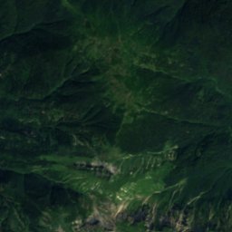
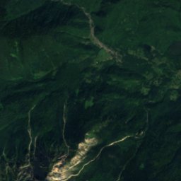
Chachkhuri from above
Nature nearbyAll of Georgia

Satellite: Sentinel-2 cloudless 2016 by EOX IT Services GmbH · CC BY 4.0 · Contains modified Copernicus Sentinel data 2016


Summits nearbyMountains of Georgia
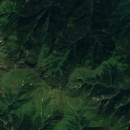
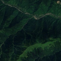
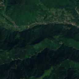
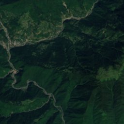
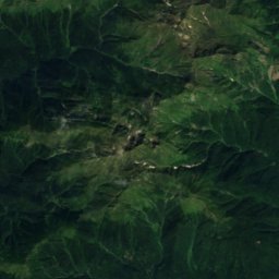
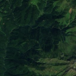
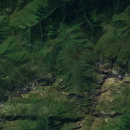
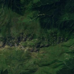
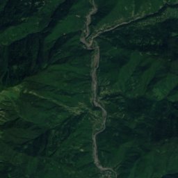
Satellite: Sentinel-2 cloudless 2016 by EOX IT Services GmbH · CC BY 4.0 · Contains modified Copernicus Sentinel data 2016
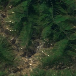
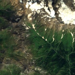
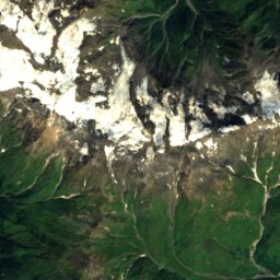
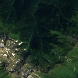
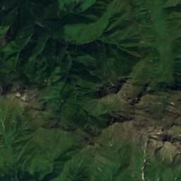
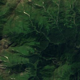
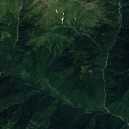
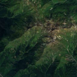
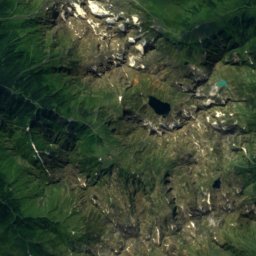
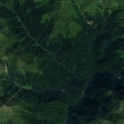
Satellite: Sentinel-2 cloudless 2016 by EOX IT Services GmbH · CC BY 4.0 · Contains modified Copernicus Sentinel data 2016
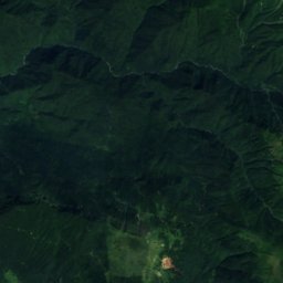
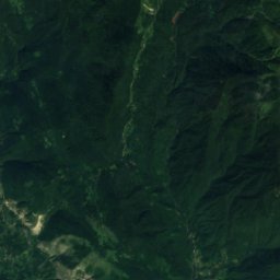
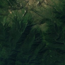
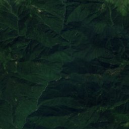
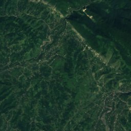
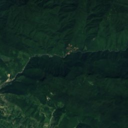
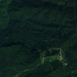
Satellite: Sentinel-2 cloudless 2016 by EOX IT Services GmbH · CC BY 4.0 · Contains modified Copernicus Sentinel data 2016
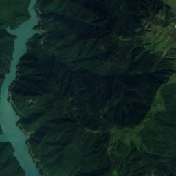
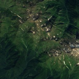
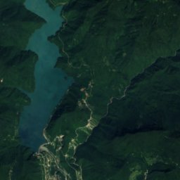
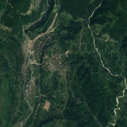
Satellite: Sentinel-2 cloudless 2016 by EOX IT Services GmbH · CC BY 4.0 · Contains modified Copernicus Sentinel data 2016
Satellite: Sentinel-2 cloudless 2016 by EOX IT Services GmbH · CC BY 4.0 · Contains modified Copernicus Sentinel data 2016

Stay nearby
Towns close by
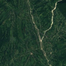
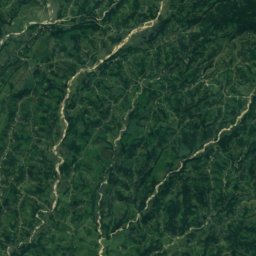
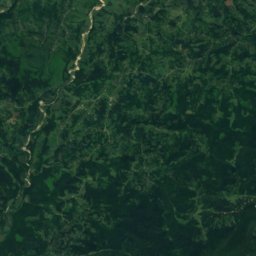
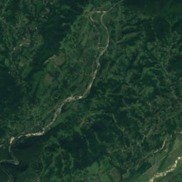
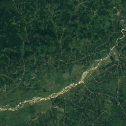
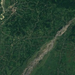
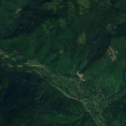
Satellite: Sentinel-2 cloudless 2016 by EOX IT Services GmbH · CC BY 4.0 · Contains modified Copernicus Sentinel data 2016
Martvili
Samegrelo and Zemo Svaneti · 21 km SW
22°Oct high
11wet days
73score
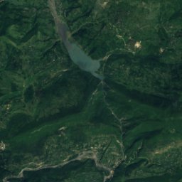
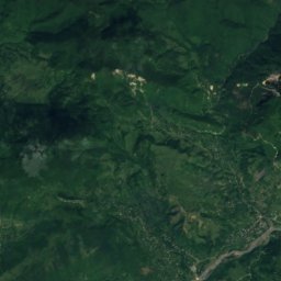
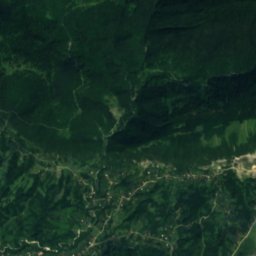
Satellite: Sentinel-2 cloudless 2016 by EOX IT Services GmbH · CC BY 4.0 · Contains modified Copernicus Sentinel data 2016
Tsageri
Racha-Lechkhumi and Kvemo Svaneti · 24 km E
21°Oct high
13wet days
68score

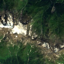
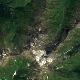
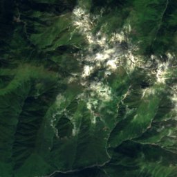
Around here
Martvili and around
Nature


Toba Waterfall and Arsen Okrojanashvili Cave Natural Monument
Waterfall
Mountains
Satellite: Sentinel-2 cloudless 2016 by EOX IT Services GmbH · CC BY 4.0 · Contains modified Copernicus Sentinel data 2016
Tsekuri
3,170 m · Egrisi Range
Heritage
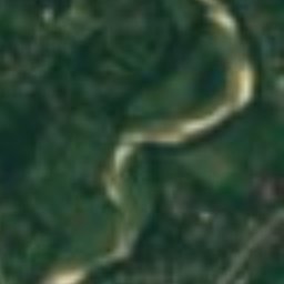


Satellite: Sentinel-2 cloudless 2016 by EOX IT Services GmbH · CC BY 4.0 · Contains modified Copernicus Sentinel data 2016
Martvili Monastery
Cultural Monuments of National Importance of Georgia · 1000

Photo: United States Embassy Tbilisi, Georgia · Public domain · Wikimedia CommonsReport this photo · linked, not stored

Okatse Canyon Natural Monument
natural monument · 2011