Skip to content
Destinations
Weather & climate
Nature
Outdoors
Culture
Events
Sky & live
Refuge des lacs Merlet
Photo: B. Brassoud · CC BY-SA 4.0 · Wikimedia Commons
Refuge des lacs MerletReport this photo · linked, not stored
Refuge du Saut
Photo: Mattoutankamon · CC BY-SA 4.0 · Wikimedia Commons
Refuge du SautReport this photo · linked, not stored
Refuge du Saut
Cascade des Poux
Photo: Calips · CC BY-SA 3.0 · Wikimedia Commons
Cascade des PouxReport this photo · linked, not stored
Cascade des Poux
Refuge du Roc
Photo: Ibex73 · CC BY-SA 4.0 · Wikimedia Commons
Refuge du RocReport this photo · linked, not stored
Refuge du Roc
Refuge de La Valette
Photo: Ibex73 · CC BY-SA 4.0 · Wikimedia Commons
Refuge de La ValetteReport this photo · linked, not stored
Refuge de La Valette
Mountain hutPralognan-la-Vanoise, Auvergne-Rhône-Alpes

Refuge des lacs Merlet

Mountain hut2,417 m elevationBest Jun–Aug
Elevation2,417 mabove sea level
Area–surface
Nearest townPralognan-la-Vanoise5.8 km
45.36° N, 6.65° EElevation 2,417 mUTC+2 · Central European Summer Time
When to goPralognan-la-Vanoise · weather score
JanFebMarAprMayJunJulAugSepOctNovDec39October
Best timeJun–Aug
October: high / low13° / 3°
Mountain hut

Refuge des lacs Merlet in brief

Refuge des lacs Merlet is a mountain hut in Pralognan-la-Vanoise, Auvergne-Rhône-Alpes, France.

It lies at 2,417 m above sea level.

The nearest town in the atlas is Pralognan-la-Vanoise, 5.8 km to the NE, where the weather is best in June, July and August.

Pralognan-la-Vanoise: weather and travel guide

Weather nearby now

Forecast for Pralognan-la-Vanoise
9°
Partly cloudy now
Wind1 km/h
Humidity43%
Cloud cover45%
Today
22 Oct
9°
-1°
Fri
23 Oct
9°
2°
15 mm
Sat
24 Oct
5°
1°
11 mm
Sun
25 Oct
9°
3°
18 mm
Mon
26 Oct
13°
-1°

Model run 00:00 UTCRefreshed several times a day

When to go

The best months around Refuge des lacs Merlet

Climate of Pralognan-la-Vanoise

Month score in Pralognan-la-Vanoise

Comfort, dry days and sunshine · out of 100
26
Jan
29
Feb
23
Mar
24
Apr
45
May
63
Jun
67
Jul
66
Aug
62
Sep
39
Oct
23
Nov
25
Dec
Map

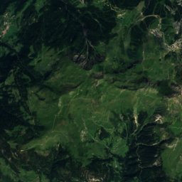
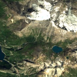
Refuge des lacs Merlet from above

Nature nearbyAll of France
Photo: Mattoutankamon · CC BY-SA 4.0 · Wikimedia CommonsReport this photo · linked, not stored
Refuge du SautMountain hut3.0 kmSWRefuge du Saut
Photo: Calips · CC BY-SA 3.0 · Wikimedia CommonsReport this photo · linked, not stored
Cascade des PouxWaterfall4.6 kmNECascade des Poux
Photo: Ibex73 · CC BY-SA 4.0 · Wikimedia CommonsReport this photo · linked, not stored
Refuge du RocMountain hut4.7 kmSERefuge du Roc
Photo: Ibex73 · CC BY-SA 4.0 · Wikimedia CommonsReport this photo · linked, not stored
Refuge de La ValetteMountain hut5.7 kmERefuge de La Valette
Photo: Ibex73 · CC BY-SA 4.0 · Wikimedia CommonsReport this photo · linked, not stored
Glacier de GébroulazGlacier8.1 kmSGlacier de Gébroulaz
Photo: Rémih · CC BY-SA 4.0 · Wikimedia CommonsReport this photo · linked, not stored
Glacier de PécletGlacier8.4 kmSGlacier de Péclet
Summits nearbyMountains of France
Photo: Rémih · CC BY-SA 4.0 · Wikimedia CommonsReport this photo · linked, not stored
Grande Casse15 km E3,855 mJuly 5°Grande Casse
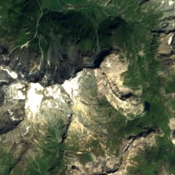
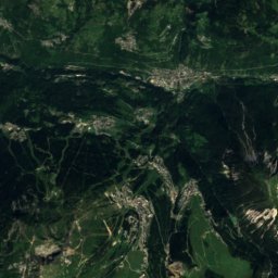
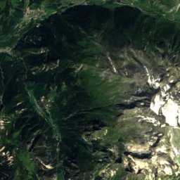
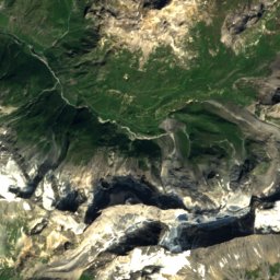
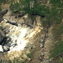
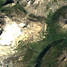
Satellite: Sentinel-2 cloudless 2016 by EOX IT Services GmbH · CC BY 4.0 · Contains modified Copernicus Sentinel data 2016
Pointe de la Grande Casse15 km E3,855 mJuly 5°Pointe de la Grande Casse
Photo: Rémih · CC BY-SA 4.0 · Wikimedia CommonsReport this photo · linked, not stored
Mont Pourri25 km NE3,779 mJuly 4°Mont Pourri
Photo: Florian Pépellin · CC BY-SA 4.0 · Wikimedia CommonsReport this photo · linked, not stored
Dent Parrachée11 km SE3,697 mJuly 9°Dent Parrachée
Photo: Florian Pépellin · CC BY-SA 4.0 · Wikimedia CommonsReport this photo · linked, not stored
Grande Motte18 km E3,653 mJuly 5°Grande Motte
Photo: Pierre_Bn from En Maurienne, France · CC BY 2.0 · Wikimedia CommonsReport this photo · linked, not stored
Pointe de la Fournache11 km SE3,642 mJuly 7°Pointe de la Fournache
Stay nearby

Towns close by

Pralognan-la-Vanoise
Photo: Ibex73 · CC BY-SA 4.0 · Wikimedia CommonsReport this photo · linked, not stored

Pralognan-la-Vanoise

Auvergne-Rhône-Alpes · 5.8 km NE
13°Oct high
12wet days
39score
Pralognan-la-Vanoise
Courchevel
Photo: Rémih · CC BY-SA 4.0 · Wikimedia CommonsReport this photo · linked, not stored

Courchevel

Auvergne-Rhône-Alpes · 6.2 km N
10°Oct high
12wet days
28score
Courchevel
Planay
Photo: Chris73350 · CC BY-SA 3.0 · Wikimedia CommonsReport this photo · linked, not stored

Planay

Auvergne-Rhône-Alpes · 8.1 km NE
14°Oct high
12wet days
46score
Planay
Saint-Bon-Tarentaise
Photo: B. Brassoud · CC BY-SA 4.0 · Wikimedia CommonsReport this photo · linked, not stored

Saint-Bon-Tarentaise

Auvergne-Rhône-Alpes · 8.2 km N
15°Oct high
12wet days
53score
Saint-Bon-Tarentaise
Around here

Pralognan-la-Vanoise and around

Pralognan-la-Vanoise
Photo: Ibex73 · CC BY-SA 4.0 · Wikimedia CommonsReport this photo · linked, not stored

Pralognan-la-Vanoise

Auvergne-Rhône-Alpes · France
Jun–Augbest months
22°July high
1,410 maltitude
Pralognan-la-Vanoise

Nature

Vanoise National Park
Photo: Galano · CC BY-SA 3.0 · Wikimedia CommonsReport this photo · linked, not stored
11 km SE

Vanoise National Park

National park
Vanoise National Park
Refuge de La Valette
Photo: Ibex73 · CC BY-SA 4.0 · Wikimedia CommonsReport this photo · linked, not stored
3.3 km S

Refuge de La Valette

Mountain hut · 2,590 m
Refuge de La Valette
Refuge du Col de la Vanoise
Photo: Ibex73 · CC BY 4.0 · Wikimedia CommonsReport this photo · linked, not stored
5.7 km E

Refuge du Col de la Vanoise

Mountain hut · 2,518 m
Refuge du Col de la Vanoise

Mountains

Grande Casse
Photo: Rémih · CC BY-SA 4.0 · Wikimedia CommonsReport this photo · linked, not stored
8.8 km E

Grande Casse

3,855 m · Vanoise massif
Grande Casse
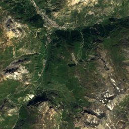
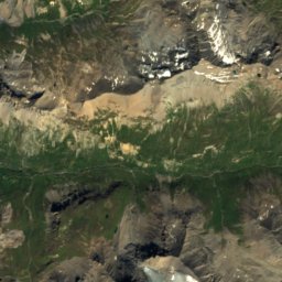
Satellite: Sentinel-2 cloudless 2016 by EOX IT Services GmbH · CC BY 4.0 · Contains modified Copernicus Sentinel data 2016
8.7 km E

Pointe de la Grande Casse

3,855 m
Pointe de la Grande Casse
Mont Pourri
Photo: Rémih · CC BY-SA 4.0 · Wikimedia CommonsReport this photo · linked, not stored
20 km NE

Mont Pourri

3,779 m · Vanoise massif
Mont Pourri

Heritage

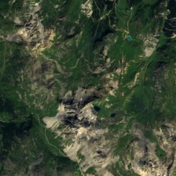
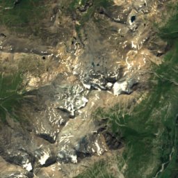
Satellite: Sentinel-2 cloudless 2016 by EOX IT Services GmbH · CC BY 4.0 · Contains modified Copernicus Sentinel data 2016
11 km SE

Vanoise National Park

Tentative World Heritage Site · 1963
Vanoise National Park
Méribel
Photo: User:Brice~commonswiki · CC BY-SA 3.0 · Wikimedia CommonsReport this photo · linked, not stored
12 km W

Méribel

Patrimoine du XXᵉ siècle
Méribel
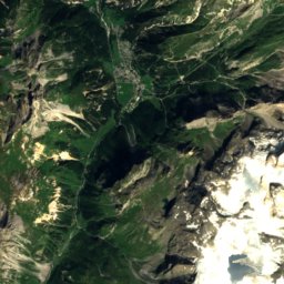
Satellite: Sentinel-2 cloudless 2016 by EOX IT Services GmbH · CC BY 4.0 · Contains modified Copernicus Sentinel data 2016
5.7 km E

Refuge du Col de la Vanoise

Patrimoine du XXᵉ siècle · 1902
Refuge du Col de la Vanoise

Museums

Espace Glacialis
Photo: Rémih · CC BY-SA 4.0 · Wikimedia CommonsReport this photo · linked, not stored
8.9 km N

Espace Glacialis

2007
Espace Glacialis