Skip to content
Destinations
Weather & climate
Nature
Outdoors
Culture
Events
Sky & live
Méribel
Photo: User:Brice~commonswiki · CC BY-SA 3.0 · Wikimedia Commons
MéribelReport this photo · linked, not stored
ski resortMéribel, Auvergne-Rhône-Alpes

Méribel

Patrimoine du XXᵉ siècle
Typeski resort
Built–
Best monthsJun–Augweather in Méribel
45.40° N, 6.57° EUTC+2 · Central European Summer Time
When to goMéribel · weather score
JanFebMarAprMayJunJulAugSepOctNovDec43October
Best timeJun–Aug
October: high / low13° / 3°
iAbout

Méribel in brief

Méribel is a ski resort in Méribel, Auvergne-Rhône-Alpes, France.

It holds the designation Patrimoine du XXᵉ siècle.

For a visit, the weather in Méribel is best in June, July and August; in October afternoons average 13°.

Méribel: weather and travel guide

Facts

Type
ski resort
Designation
Patrimoine du XXᵉ siècle
Nearest town
Méribel
Region
Auvergne-Rhône-Alpes
Coordinates
45.40111, 6.56556
iiLocation

Where to find it

iiiWhen to visit

Weather in Méribel

Climate guide

Month score for sightseeing

Best Jun–Aug
28
Jan
30
Feb
24
Mar
28
Apr
50
May
64
Jun
67
Jul
67
Aug
63
Sep
43
Oct
25
Nov
27
Dec
Around here

Méribel and around

Méribel
Photo: User:Brice~commonswiki · CC BY-SA 3.0 · Wikimedia CommonsReport this photo · linked, not stored

Méribel

Auvergne-Rhône-Alpes · France
Jun–Augbest months
22°July high
1,424 maltitude
Méribel

Nature

Refuge des lacs Merlet
Photo: B. Brassoud · CC BY-SA 4.0 · Wikimedia CommonsReport this photo · linked, not stored
9.1 km SE

Refuge des lacs Merlet

Mountain hut · 2,417 m
Refuge des lacs Merlet
Refuge du Mont-Jovet
Photo: B. Brassoud · CC BY-SA 4.0 · Wikimedia CommonsReport this photo · linked, not stored
9.9 km NE

Refuge du Mont-Jovet

Mountain hut · 2,350 m
Refuge du Mont-Jovet
Refuge du Saut
Photo: Mattoutankamon · CC BY-SA 4.0 · Wikimedia CommonsReport this photo · linked, not stored
10 km SE

Refuge du Saut

Mountain hut · 2,126 m
Refuge du Saut

Mountains

Grande Casse
Photo: Rémih · CC BY-SA 4.0 · Wikimedia CommonsReport this photo · linked, not stored
21 km E

Grande Casse

3,855 m · Vanoise massif
Grande Casse
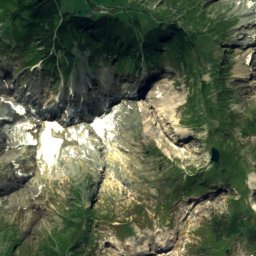
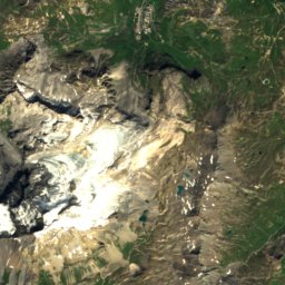
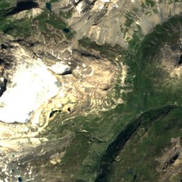
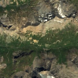
Satellite: Sentinel-2 cloudless 2016 by EOX IT Services GmbH · CC BY 4.0 · Contains modified Copernicus Sentinel data 2016
20 km E

Pointe de la Grande Casse

3,855 m
Pointe de la Grande Casse
Mont Pourri
Photo: Rémih · CC BY-SA 4.0 · Wikimedia CommonsReport this photo · linked, not stored
26 km NE

Mont Pourri

3,779 m · Vanoise massif
Mont Pourri

Heritage

Moûtiers Cathedral
Photo: MOSSOT · CC BY-SA 3.0 · Wikimedia CommonsReport this photo · linked, not stored
8.0 km N

Moûtiers Cathedral

classified historical monument
Moûtiers Cathedral
La Plagne
Photo: DimiTalen · CC0 · Wikimedia CommonsReport this photo · linked, not stored
13 km NE

La Plagne

Patrimoine du XXᵉ siècle
La Plagne
église Saint-Bon de Saint-Bon-Tarentaise
Photo: B. Brassoud · CC BY-SA 4.0 · Wikimedia CommonsReport this photo · linked, not stored
6.0 km E

église Saint-Bon de Saint-Bon-Tarentaise

monument historique inscrit
église Saint-Bon de Saint-Bon-Tarentaise

Museums

Espace Glacialis
Photo: Rémih · CC BY-SA 4.0 · Wikimedia CommonsReport this photo · linked, not stored
15 km E

Espace Glacialis

2007
Espace Glacialis
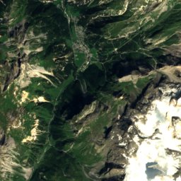
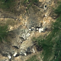
Satellite: Sentinel-2 cloudless 2016 by EOX IT Services GmbH · CC BY 4.0 · Contains modified Copernicus Sentinel data 2016
8.0 km N

Musée d'histoire et d'archéologie de Moutiers

Musée d'histoire et d'archéologie de Moutiers