Skip to content
Destinations
Weather & climate
Nature
Outdoors
Culture
Events
Sky & live
Ource
Photo: Siren-Com · CC BY-SA 3.0 · Wikimedia Commons
OurceReport this photo · linked, not stored
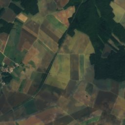
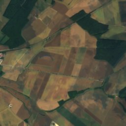
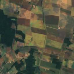
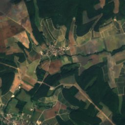
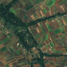
Arce, Grand Est
Photo: Havang(nl) · CC0 · Wikimedia Commons
Arce, Grand EstReport this photo · linked, not stored
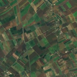
Arce, Grand Est
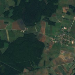
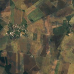
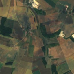
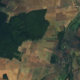
Laigne
Photo: Havang(nl) · CC0 · Wikimedia Commons
LaigneReport this photo · linked, not stored
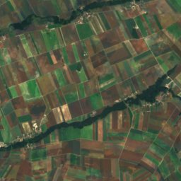
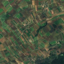
Laigne
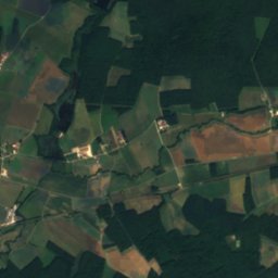
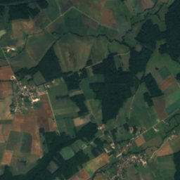
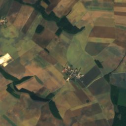
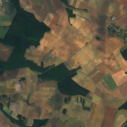
Sarce
Photo: Havang(nl) · CC0 · Wikimedia Commons
SarceReport this photo · linked, not stored
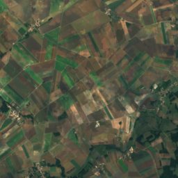
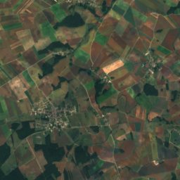
Sarce
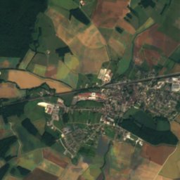
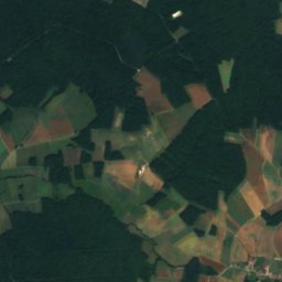
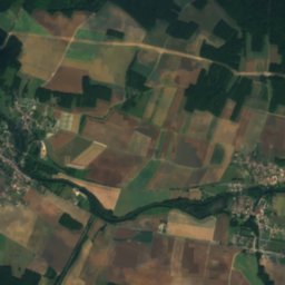
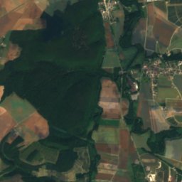
Boderonne
Photo: Havang(nl) · CC0 · Wikimedia Commons
BoderonneReport this photo · linked, not stored
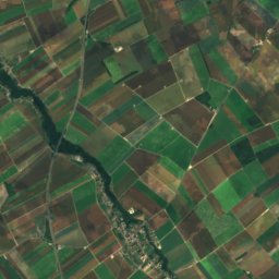
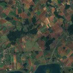
Boderonne
RiverMerrey-sur-Arce, Grand Est

Ource

RiverBest Jun–Jul · Sep
Elevation–above sea level
Length100 kmsource to mouth
Nearest townMerrey-sur-Arce0.5 km
48.10° N, 4.38° EUTC+2 · Central European Summer Time
When to goMerrey-sur-Arce · weather score
JanFebMarAprMayJunJulAugSepOctNovDec57October
Best timeJun–Jul · Sep
October: high / low17° / 8°
River

Ource in brief

Ource is a river in Merrey-sur-Arce, Grand Est, France.

The nearest town in the atlas is Merrey-sur-Arce, 0.5 km to the E, where the weather is best in June, July and September.

Ource is 100 km long.

Merrey-sur-Arce: weather and travel guide

Weather nearby now

Forecast for Merrey-sur-Arce
14°
Cloudy now
Wind18 km/h
Humidity69%
Cloud cover92%
Today
22 Oct
15°
5°
Fri
23 Oct
15°
8°
3 mm
Sat
24 Oct
13°
5°
7 mm
Sun
25 Oct
15°
9°
18 mm
Mon
26 Oct
16°
6°
2 mm

Model run 00:00 UTCRefreshed several times a day

The course of the river

As mapped in OpenStreetMap, with the towns of the atlas along its banks.
sourcemouth (or where the mapped line leaves the country)
When to go

The best months around Ource

Climate of Merrey-sur-Arce

Month score in Merrey-sur-Arce

Comfort, dry days and sunshine · out of 100
19
Jan
25
Feb
37
Mar
63
Apr
66
May
70
Jun
67
Jul
67
Aug
77
Sep
57
Oct
22
Nov
15
Dec
Map

Ource from above

Nature nearbyAll of France
Photo: Havang(nl) · CC0 · Wikimedia CommonsReport this photo · linked, not stored
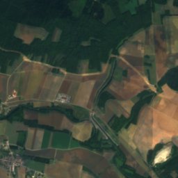
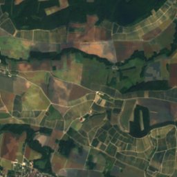
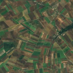
Arce, Grand EstRiver0.5 kmNEArce, Grand Est
Photo: Havang(nl) · CC0 · Wikimedia CommonsReport this photo · linked, not stored
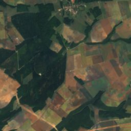
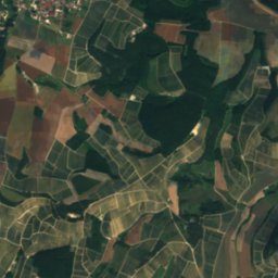
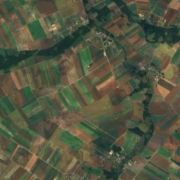
LaigneRiver3.6 kmSLaigne
Photo: Havang(nl) · CC0 · Wikimedia CommonsReport this photo · linked, not stored
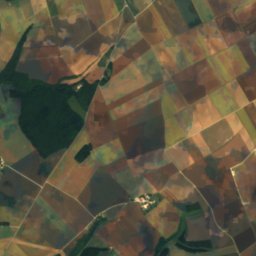
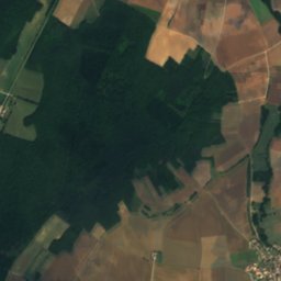
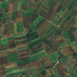
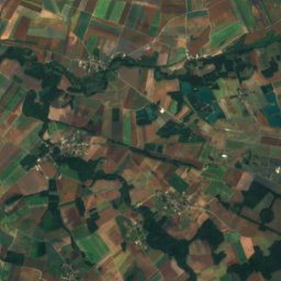
SarceRiver8.0 kmNWSarce
Photo: Havang(nl) · CC0 · Wikimedia CommonsReport this photo · linked, not stored
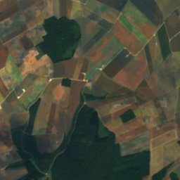
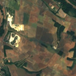
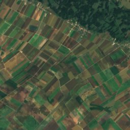
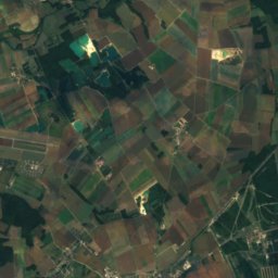
BoderonneRiver16 kmNBoderonne
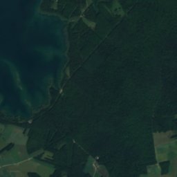
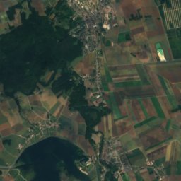
Satellite: Sentinel-2 cloudless 2016 by EOX IT Services GmbH · CC BY 4.0 · Contains modified Copernicus Sentinel data 2016
BarseRiver17 kmNEBarse
Photo: Guillaume Cattiaux · CC BY-SA 2.0 · Wikimedia CommonsReport this photo · linked, not stored
Lac d'OrientLake20 kmNLac d'Orient
Summits nearbyMountains of France
Photo: Claude PIARD · CC BY-SA 4.0 · Wikimedia CommonsReport this photo · linked, not stored
Mont Lassois24 km SE290 mJuly 26°Mont Lassois
Stay nearby

Towns close by

Merrey-sur-Arce
Photo: Havang(nl) · CC0 · Wikimedia CommonsReport this photo · linked, not stored

Merrey-sur-Arce

Grand Est · 0.5 km E
17°Oct high
12wet days
57score
Merrey-sur-Arce
Bar-sur-Seine
Photo: François Collard · CC BY-SA 3.0 · Wikimedia CommonsReport this photo · linked, not stored

Bar-sur-Seine

Grand Est · 1.9 km N
17°Oct high
12wet days
57score
Bar-sur-Seine
Celles-sur-Ource
Photo: This illustration was made by Peter Potrowl. Please credit this with : © Peter P · CC BY-SA 4.0 · Wikimedia CommonsReport this photo · linked, not stored

Celles-sur-Ource

Grand Est · 2.6 km SE
17°Oct high
12wet days
57score
Celles-sur-Ource
Polisot
Photo: This illustration was made by Peter Potrowl. Please credit this with : © Peter P · CC BY-SA 4.0 · Wikimedia CommonsReport this photo · linked, not stored

Polisot

Grand Est · 2.8 km S
17°Oct high
12wet days
57score
Polisot
Around here

Merrey-sur-Arce and around

Merrey-sur-Arce
Photo: Havang(nl) · CC0 · Wikimedia CommonsReport this photo · linked, not stored

Merrey-sur-Arce

Grand Est · France
Jun–Jul · Sepbest months
26°July high
156 maltitude
Merrey-sur-Arce

Nature

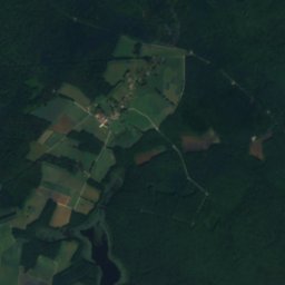
Satellite: Sentinel-2 cloudless 2016 by EOX IT Services GmbH · CC BY 4.0 · Contains modified Copernicus Sentinel data 2016
0.4 km NW

Arce, Grand Est

River · 152 m
Arce, Grand Est
Sarce
Photo: Havang(nl) · CC0 · Wikimedia CommonsReport this photo · linked, not stored
8.3 km NW

Sarce

River
Sarce
Laigne
Photo: Havang(nl) · CC0 · Wikimedia CommonsReport this photo · linked, not stored
3.7 km S

Laigne

River
Laigne

Mountains

Mont Lassois
Photo: Claude PIARD · CC BY-SA 4.0 · Wikimedia CommonsReport this photo · linked, not stored
24 km SE

Mont Lassois

290 m
Mont Lassois
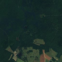
Satellite: Sentinel-2 cloudless 2016 by EOX IT Services GmbH · CC BY 4.0 · Contains modified Copernicus Sentinel data 2016
31 km N

Le Croît

180 m
Le Croît

Heritage

Domaine de Villeneuve
Photo: Philippesalv · CC BY-SA 3.0 · Wikimedia CommonsReport this photo · linked, not stored
0.6 km W

Domaine de Villeneuve

monument historique inscrit
Domaine de Villeneuve
Porte de Châtillon
Photo: Philippesalv · CC BY-SA 3.0 · Wikimedia CommonsReport this photo · linked, not stored
1.7 km NW

Porte de Châtillon

monument historique inscrit
Porte de Châtillon
Moulin de Bar-sur-Seine
Photo: Pimvantend · CC BY-SA 4.0 · Wikimedia CommonsReport this photo · linked, not stored
2.2 km N

Moulin de Bar-sur-Seine

listed in the general inventory of cultural heritage
Moulin de Bar-sur-Seine