Skip to content
Destinations
Weather & climate
Nature
Outdoors
Culture
Events
Sky & live
Lac d'Orient
Photo: Guillaume Cattiaux · CC BY-SA 2.0 · Wikimedia Commons
Lac d'OrientReport this photo · linked, not stored
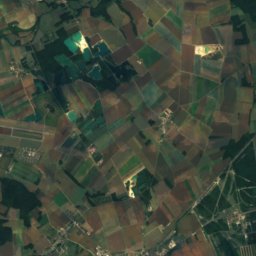
Boderonne
Photo: Havang(nl) · CC0 · Wikimedia Commons
BoderonneReport this photo · linked, not stored
Boderonne
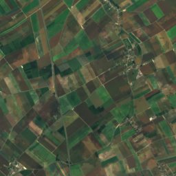
Sarce
Photo: Havang(nl) · CC0 · Wikimedia Commons
SarceReport this photo · linked, not stored
Sarce
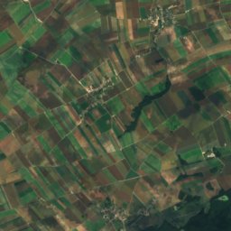
Amance, Grand Est
Photo: October Ends · CC BY-SA 3.0 · Wikimedia Commons
Amance, Grand EstReport this photo · linked, not stored
Amance, Grand Est
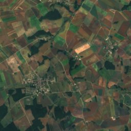
Hozain
Photo: Michel FOUCHER · CC BY-SA 4.0 · Wikimedia Commons
HozainReport this photo · linked, not stored
Hozain
LakeMesnil-Saint-Père, Grand Est

Lac d'Orient

Lake130 m elevationBest Jun · Aug–Sep
Elevation130 mabove sea level
Area23 km²surface
Nearest townMesnil-Saint-Père2.5 km
48.27° N, 4.33° EElevation 130 mUTC+2 · Central European Summer Time
When to goMesnil-Saint-Père · weather score
JanFebMarAprMayJunJulAugSepOctNovDec58October
Best timeJun · Aug–Sep
October: high / low17° / 8°
Lake

Lac d'Orient in brief

Lac d'Orient is a lake in Mesnil-Saint-Père, Grand Est, France.

It lies at 130 m above sea level and covers about 23 km².

The nearest town in the atlas is Mesnil-Saint-Père, 2.5 km to the S, where the weather is best in June, August and September.

Mesnil-Saint-Père: weather and travel guide

Weather nearby now

Forecast for Mesnil-Saint-Père
14°
Cloudy now
Wind18 km/h
Humidity70%
Cloud cover97%
Today
22 Oct
16°
6°
Fri
23 Oct
14°
8°
4 mm
Sat
24 Oct
13°
6°
7 mm
Sun
25 Oct
16°
9°
18 mm
Mon
26 Oct
16°
6°
2 mm

Model run 00:00 UTCRefreshed several times a day

The lake's water

Surface, average depth and volume of the lake, and the length of its shore.
Surface23 km²
Average depth12 m
Volume217 million m³
Shoreline41 km
average depth 12 msurface at 130 m
When to go

The best months around Lac d'Orient

Climate of Mesnil-Saint-Père

Month score in Mesnil-Saint-Père

Comfort, dry days and sunshine · out of 100
20
Jan
24
Feb
37
Mar
62
Apr
66
May
70
Jun
68
Jul
69
Aug
76
Sep
58
Oct
22
Nov
15
Dec
Map

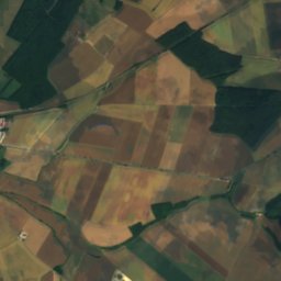
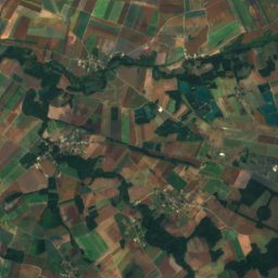
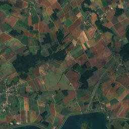
Lac d'Orient from above

Nature nearbyAll of France
Photo: Havang(nl) · CC0 · Wikimedia CommonsReport this photo · linked, not stored
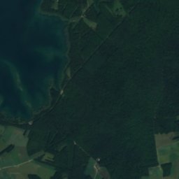
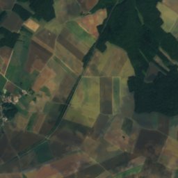
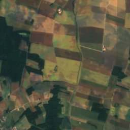
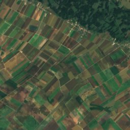
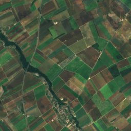
BoderonneRiver4.9 kmSWBoderonne
Satellite: Sentinel-2 cloudless 2016 by EOX IT Services GmbH · CC BY 4.0 · Contains modified Copernicus Sentinel data 2016
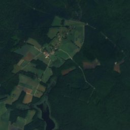
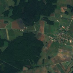
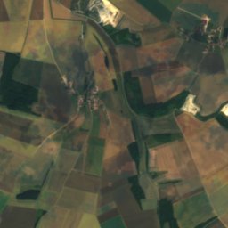
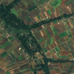
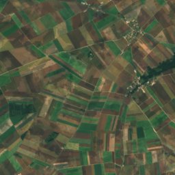
BarseRiver11 kmEBarse
Photo: Havang(nl) · CC0 · Wikimedia CommonsReport this photo · linked, not stored
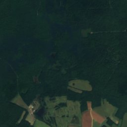
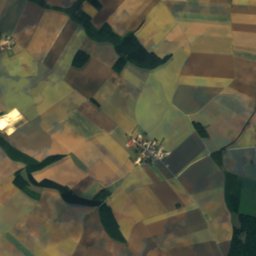
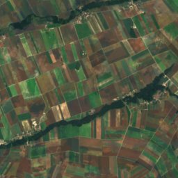
SarceRiver15 kmSSarce
Photo: October Ends · CC BY-SA 3.0 · Wikimedia CommonsReport this photo · linked, not stored
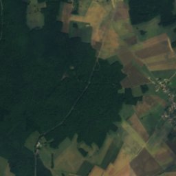
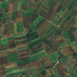
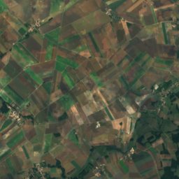
Amance, Grand EstRiver16 kmNEAmance, Grand Est
Photo: Michel FOUCHER · CC BY-SA 4.0 · Wikimedia CommonsReport this photo · linked, not stored
HozainRiver17 kmWHozain
Photo: Havang(nl) · CC0 · Wikimedia CommonsReport this photo · linked, not stored
Arce, Grand EstRiver20 kmSArce, Grand Est
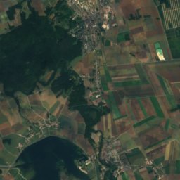
Summits nearbyMountains of France
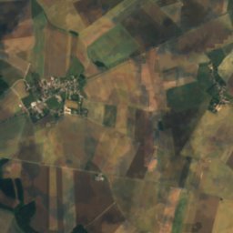
Satellite: Sentinel-2 cloudless 2016 by EOX IT Services GmbH · CC BY 4.0 · Contains modified Copernicus Sentinel data 2016
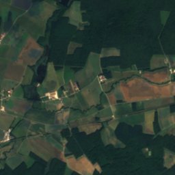
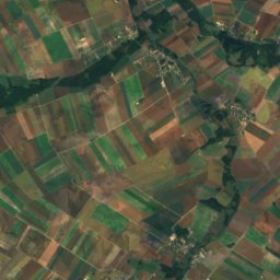
Le Croît12 km N180 mJuly 26°Le Croît
Stay nearby

Towns close by

Mesnil-Saint-Père
Photo: Gérard Janot · CC BY-SA 3.0 · Wikimedia CommonsReport this photo · linked, not stored

Mesnil-Saint-Père

Grand Est · 2.5 km S
17°Oct high
12wet days
58score
Mesnil-Saint-Père
Géraudot
Photo: Marc Ryckaert · CC BY-SA 4.0 · Wikimedia CommonsReport this photo · linked, not stored

Géraudot

Grand Est · 3.8 km N
16°Oct high
12wet days
57score
Géraudot
Montiéramey
Photo: Hg marigny · CC BY-SA 3.0 · Wikimedia CommonsReport this photo · linked, not stored

Montiéramey

Grand Est · 4.9 km SW
17°Oct high
12wet days
58score
Montiéramey
Lusigny-sur-Barse
Photo: Ludovic Péron · CC BY-SA 3.0 · Wikimedia CommonsReport this photo · linked, not stored

Lusigny-sur-Barse

Grand Est · 4.9 km SW
17°Oct high
12wet days
58score
Lusigny-sur-Barse
Around here

Mesnil-Saint-Père and around

Mesnil-Saint-Père
Photo: Gérard Janot · CC BY-SA 3.0 · Wikimedia CommonsReport this photo · linked, not stored

Mesnil-Saint-Père

Grand Est · France
Jun · Aug–Sepbest months
26°July high
132 maltitude
Mesnil-Saint-Père

Nature

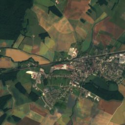
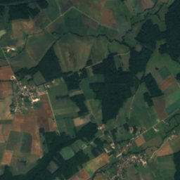
Satellite: Sentinel-2 cloudless 2016 by EOX IT Services GmbH · CC BY 4.0 · Contains modified Copernicus Sentinel data 2016
10 km E

Barse

River · 107 m
Barse
Boderonne
Photo: Havang(nl) · CC0 · Wikimedia CommonsReport this photo · linked, not stored
3.5 km SW

Boderonne

River
Boderonne
Ource
Photo: Siren-Com · CC BY-SA 3.0 · Wikimedia CommonsReport this photo · linked, not stored
17 km S

Ource

River
Ource

Mountains

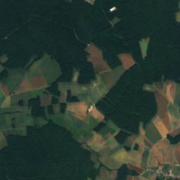
Satellite: Sentinel-2 cloudless 2016 by EOX IT Services GmbH · CC BY 4.0 · Contains modified Copernicus Sentinel data 2016
14 km N

Le Croît

180 m
Le Croît

Heritage

Satellite: Sentinel-2 cloudless 2016 by EOX IT Services GmbH · CC BY 4.0 · Contains modified Copernicus Sentinel data 2016
0.4 km W

église Saint-André de Mesnil-Saint-Père

monument historique inscrit
église Saint-André de Mesnil-Saint-Père
Montiéramey Abbey
Photo: Hg marigny · CC BY-SA 3.0 · Wikimedia CommonsReport this photo · linked, not stored
3.4 km SW

Montiéramey Abbey

monument historique inscrit
Montiéramey Abbey
Château de Vendeuvre-sur-Barse
Photo: Gérard Janot · CC BY-SA 3.0 · Wikimedia CommonsReport this photo · linked, not stored
10 km E

Château de Vendeuvre-sur-Barse

classified historical monument
Château de Vendeuvre-sur-Barse